Plizio Visual Lab
Mount Nimba

Weather…
Water temperature…
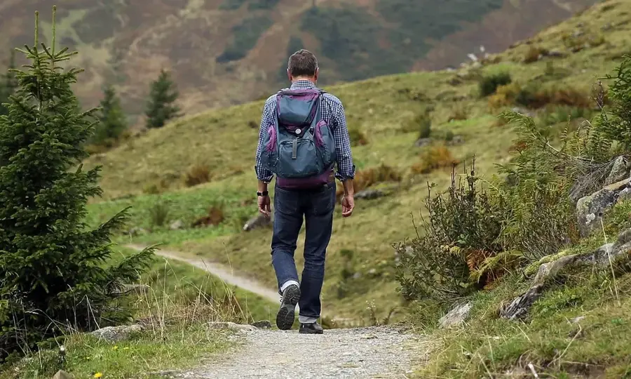
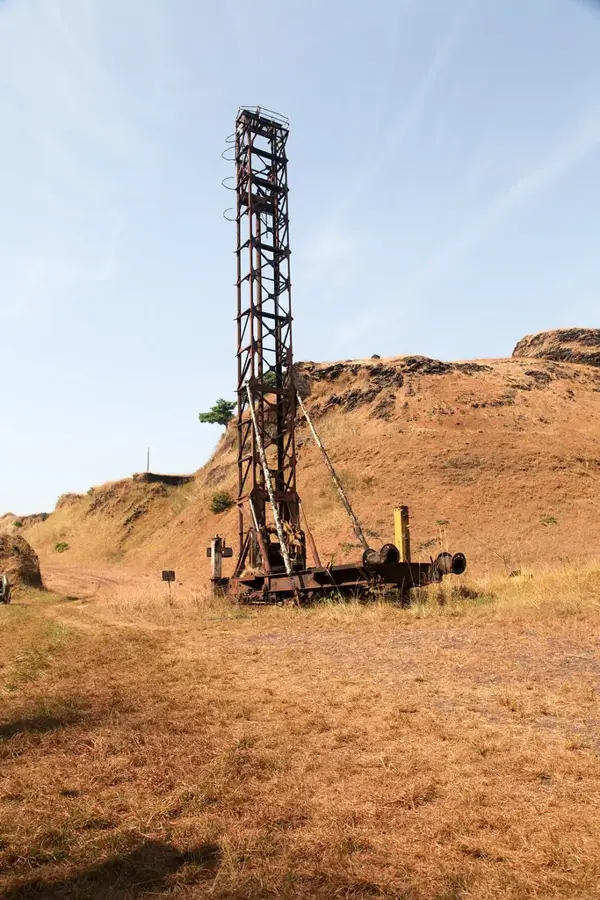
Mount Nimba, situated at the tripoint of Ivory Coast, Guinea, and Liberia, is the highest peak in both Ivory Coast and Guinea, reaching an elevation of 1,752 meters at Mount Richard-Molard. The massif is a strictly protected UNESCO World Heritage site, recognized for its exceptional biodiversity and its role as an ecological island surrounded by lower-lying savannas. Its steep slopes are draped in dense primary forests, while the highest ridges are covered with unique high-altitude grasslands. Geologically, the mountain is composed of iron-rich quartzites dating back to the Precambrian era, making it a focal point for both conservationists and the mining industry. The region experiences a distinct microclimate with high annual rainfall, supporting rare endemic species such as the Nimba viviparous toad. Despite its protected status, the massif remains under pressure from nearby industrial interests and the encroachment of agricultural activities from the surrounding plains.
- Location: Côte d’Ivoire
- Nearby: Danané (52 km)
Best time to visit & climate
The most pleasant time to visit is Jan, Feb, Dec.
| Jan | Feb | Mar | Apr | May | Jun | Jul | Aug | Sep | Oct | Nov | Dec | |
|---|---|---|---|---|---|---|---|---|---|---|---|---|
| Avg °C | 25 | 26 | 26 | 26 | 25 | 24 | 23 | 23 | 24 | 24 | 25 | 24 |
| Rain mm | 11 | 46 | 100 | 142 | 187 | 257 | 216 | 299 | 288 | 189 | 85 | 26 |
📋 Practical info
Geography
Facts
- Highest peak is Mount Richard-Molard at 1,752 meters.
- Designated as a UNESCO World Heritage site in 1981.
- Home to the world's only known viviparous toad species.
- The massif is composed of 2-billion-year-old quartzites.
- Annual rainfall levels can exceed 3,000 millimeters.
- Contains significant deposits of high-grade iron ore.
Explore nearby
Notable places around
Route planner — Car & Motorhome
Where do you start? We build the route here, with stops and country notes along the way.
© OpenStreetMap contributors · OpenRouteService
Sights in the town Mount Nimba (1)
Sights nearby
Frequently asked questions
Why is Mont Nimba world-famous?
Are you allowed to visit the summit of Mont Nimba?
In which countries is the Nimba massif located?
What threatens the Mont Nimba reserve?
Are there chimpanzees on Mont Nimba?
Mount Nimba: where is it located?
Mount Nimba: when is the best time to visit?
Mount Nimba: why is it worth visiting?

Nearby cities

Nature
More places