Plizio Visual Lab
Biankouma Massif

Weather…
Water temperature…
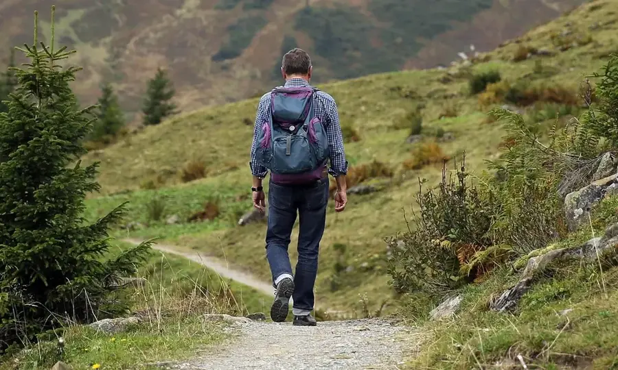
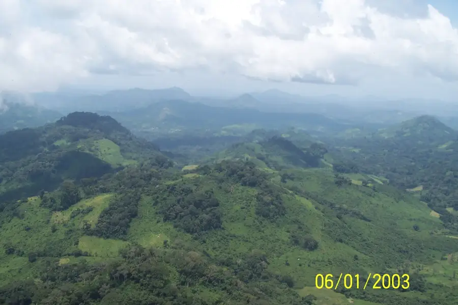
The Biankouma Massif is part of the western mountainous region of Ivory Coast, closely linked to the larger Man mountain ranges. This mid-altitude highland landscape is characterized by steep slopes, dense tropical montane forests, and numerous streams that feed into the lower river basins. Geologically, the massif is composed of crystalline rocks from the West African Shield, with elevations that make the local climate noticeably cooler and wetter than the surrounding lowlands. The area is home to the Dan people, renowned for their unique architecture and traditional vine bridges that span the mountain rivers. The fertile soils on the massif's slopes are extensively used for coffee and cocoa cultivation, making the region a vital agricultural hub. Hikers and nature enthusiasts value the massif for its spectacular vistas and pristine natural environment, which serves as a sanctuary for many rare wildlife species.
- Location: Côte d’Ivoire
- Nearby: Biankouma (4 km)
Best time to visit & climate
The most pleasant time to visit is Jan, Feb, Dec.
| Jan | Feb | Mar | Apr | May | Jun | Jul | Aug | Sep | Oct | Nov | Dec | |
|---|---|---|---|---|---|---|---|---|---|---|---|---|
| Avg °C | 24 | 26 | 27 | 26 | 26 | 24 | 24 | 23 | 24 | 24 | 25 | 24 |
| Rain mm | 11 | 45 | 91 | 131 | 171 | 228 | 195 | 260 | 262 | 171 | 75 | 24 |
📋 Practical info
Geography
Facts
- Part of the western mountain ranges near Man
- Composed of ancient Precambrian granite rock
- Famous for traditional vine (liana) bridges
- Prime region for Arabica coffee cultivation
- Average elevation exceeds 600 meters
- Ancestral homeland of the Dan (Yacouba) people
Explore nearby
Notable places around
Route planner — Car & Motorhome
Where do you start? We build the route here, with stops and country notes along the way.
© OpenStreetMap contributors · OpenRouteService
Sights nearby
Frequently asked questions
Where is the Biankouma massif located?
What is special about the villages in the massif?
Can you go hiking in the Biankouma massif?
How is the road to Biankouma?
Are there cultural festivals in the region?
Biankouma Massif: where is it located?
Biankouma Massif: when is the best time to visit?
Biankouma Massif: why is it worth visiting?

Nearby cities
More places