Plizio Visual Lab
Mount Gilboa
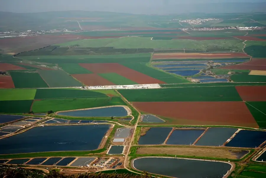
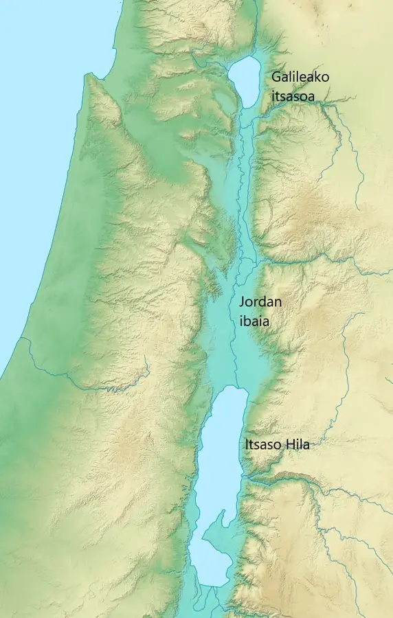
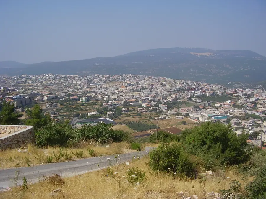
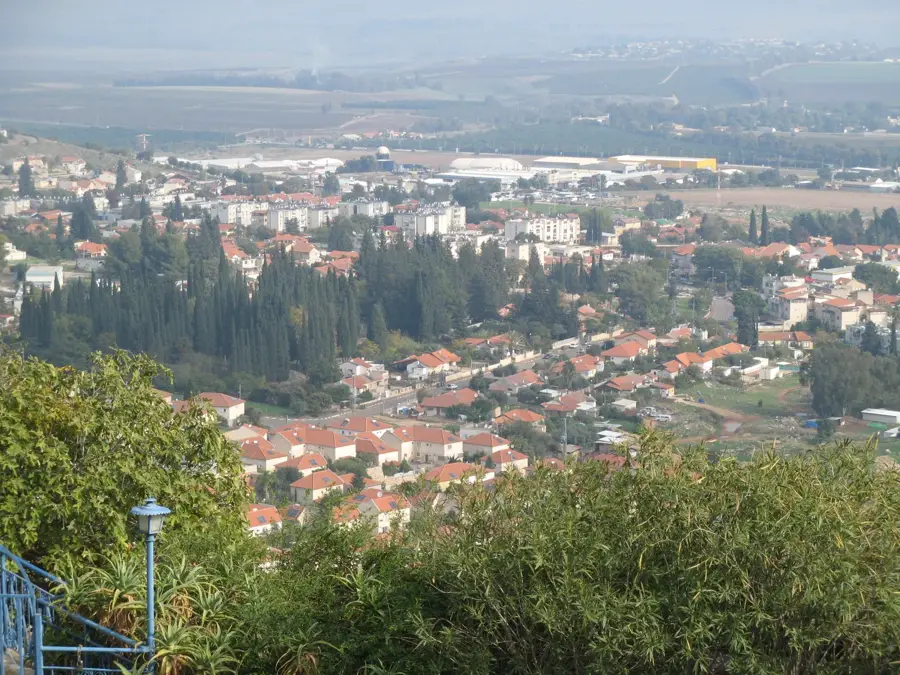
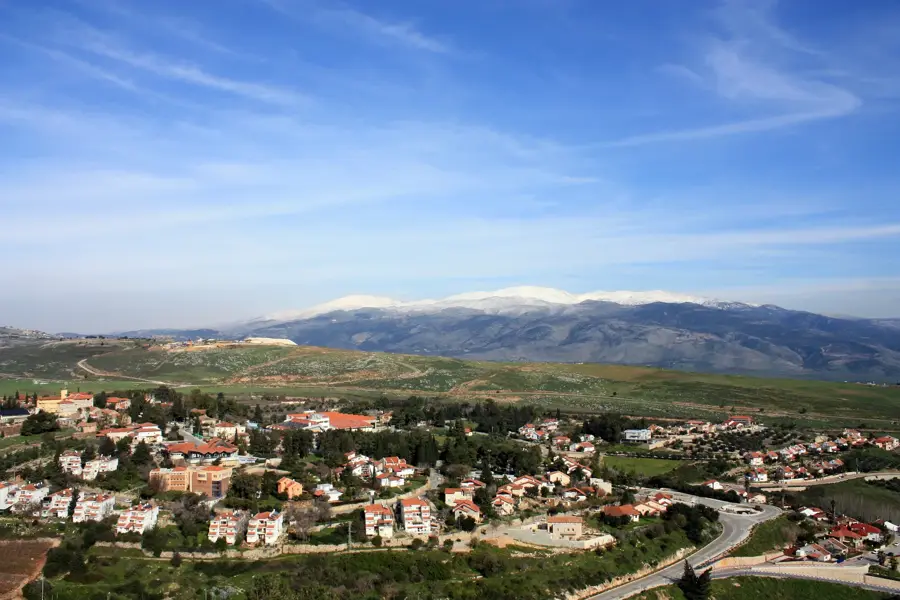
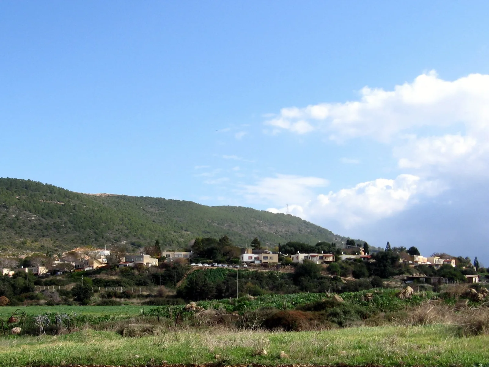
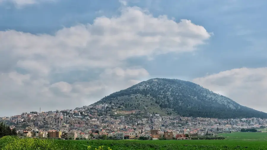
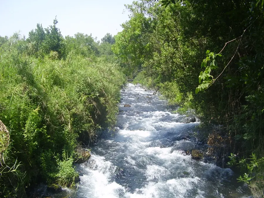
Mount Gilboa is a prominent mountain range in northern Israel, serving as a geographic barrier between the Jezreel Valley and the Jordan Valley. Geologically composed of Eocene limestone, the ridge reaches its highest elevation of 496 meters at Mount Malkishua. The range holds profound historical and biblical significance as the site of the fateful battle against the Philistines, where King Saul and his sons perished, leading to David’s famous curse that neither dew nor rain should fall upon the heights. Despite this poetic curse, the nature reserve is home to a lively ecosystem, most notably the endemic Gilboa Iris (Iris haynei), which draws thousands of visitors during its spring blooming season. The eastern slopes of the range drop precipitously toward the Harod Valley, offering sweeping panoramic vistas of the surrounding plains and the mountains of Gilead across the border. Extensive reforestation projects have transformed the landscape over the past century, mitigating soil erosion. Today, Mount Gilboa is a major destination for hikers and paragliders who take advantage of the ridge's sharp thermal gradients.
- Location: Israel
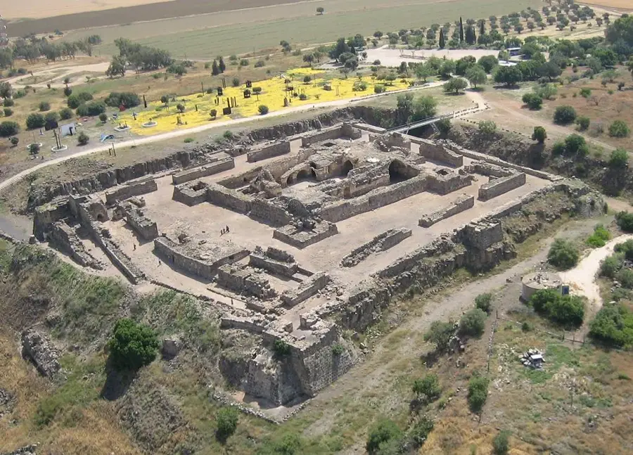
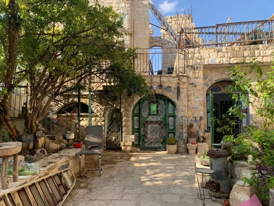
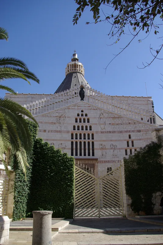
- Top sights: Har Ahinoam · Hirbat Bolek · Ein Tivon
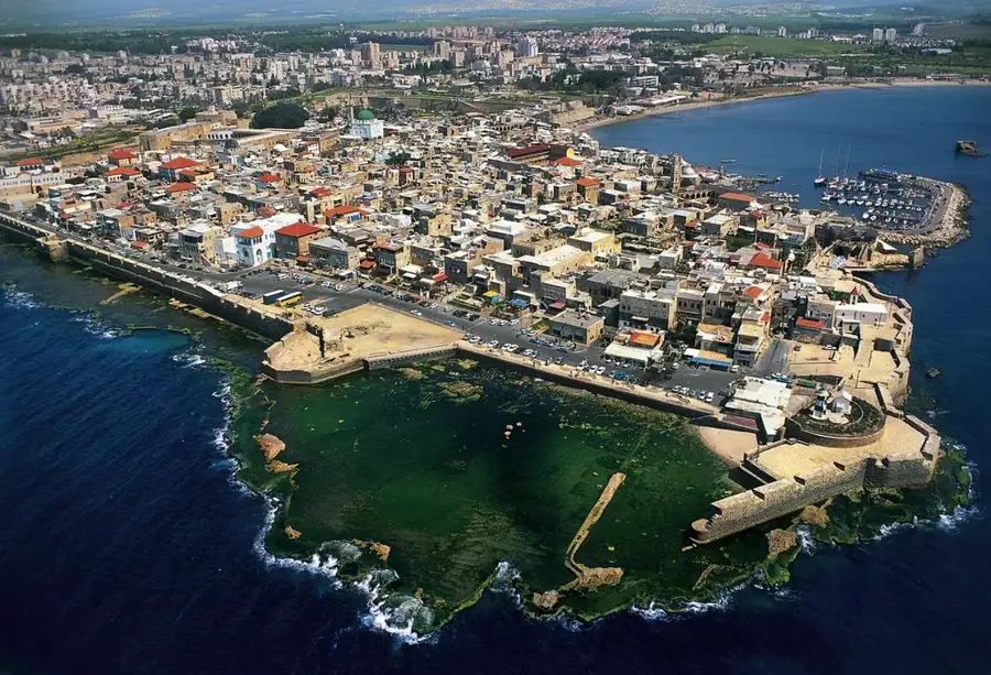
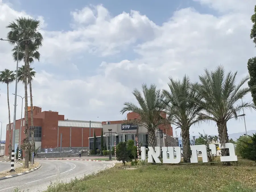
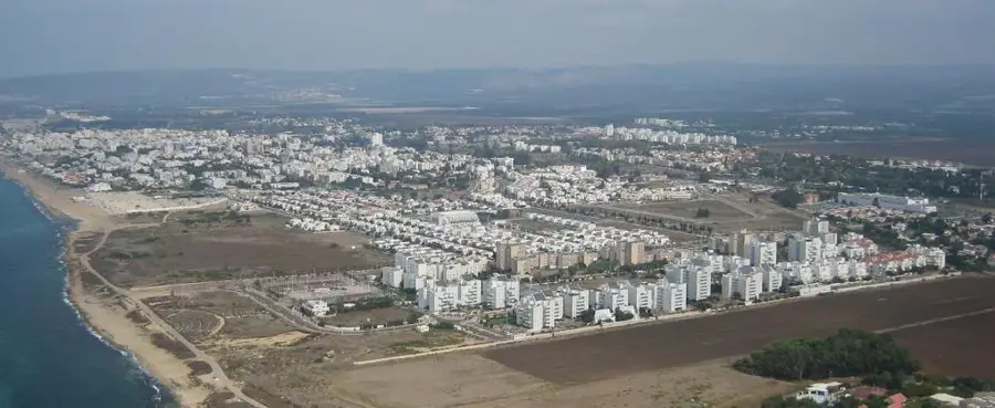
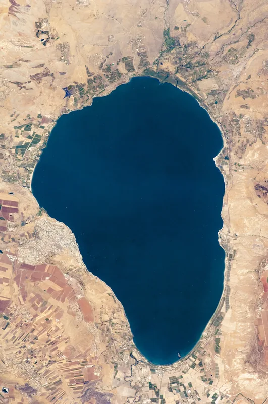
- Nearby: Afula (15 km)
Best time to visit & climate
The most pleasant time to visit is Apr, May, Oct.
| Jan | Feb | Mar | Apr | May | Jun | Jul | Aug | Sep | Oct | Nov | Dec | |
|---|---|---|---|---|---|---|---|---|---|---|---|---|
| Avg °C | 11 | 12 | 15 | 19 | 23 | 27 | 29 | 29 | 27 | 24 | 18 | 13 |
| Rain mm | 93 | 79 | 40 | 20 | 6 | 1 | 0 | 1 | 2 | 12 | 40 | 79 |
📋 Practical info
Geography
Facts
- The highest peak, Mount Malkishua, stands at 496 meters above sea level.
- The mountain range spans a total length of 18 kilometers.
- The Gilboa Iris (Iris haynei) is the most famous endemic plant species.
- Biblical records link the mountain to the demise of the first King of Israel.
- The ridge features a steep drop of nearly 600 meters to the Harod Valley.
- The area was designated as a nature reserve to combat desertification.
Explore nearby
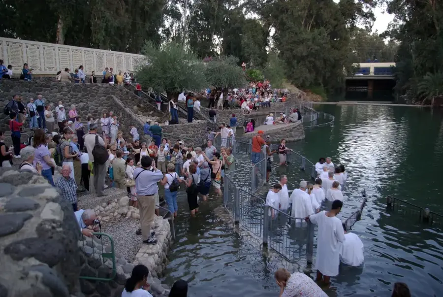
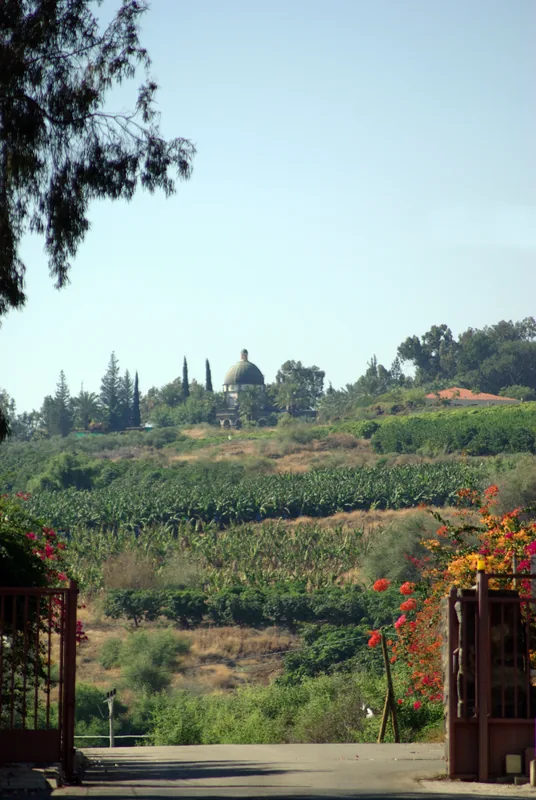
Notable places around
Route planner — Car & Motorhome
Where do you start? We build the route here, with stops and country notes along the way.
© OpenStreetMap contributors · OpenRouteService
Sights in the town Mount Gilboa (8)
Sights nearby
Frequently asked questions
When does the Gilboa Iris bloom?
Is there a scenic drive?
What is the biblical significance of Gilboa?
Can you go hiking there?
Are there camping facilities?
Mount Gilboa: where is it located?
Mount Gilboa: what is there to see?
Mount Gilboa: when is the best time to visit?
Mount Gilboa: why is it worth visiting?

Nearby cities

History & landmarks
Nature
More places