Plizio Visual Lab
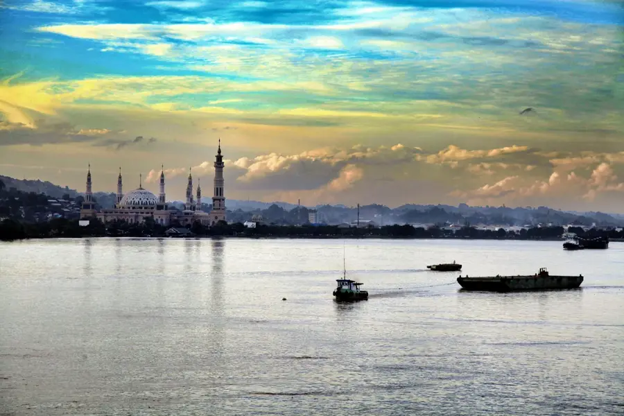
Mahakam River
Weather…
Water temperature…
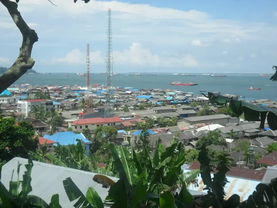
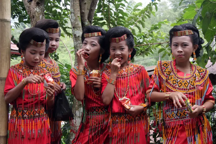
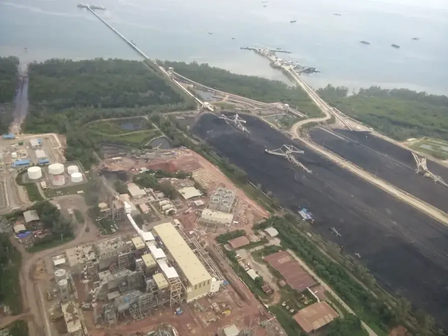
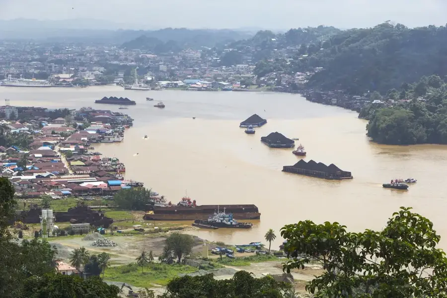
The Mahakam River is the most significant river in East Kalimantan on the island of Borneo, stretching approximately 980 kilometers in length. Originating in the island's highlands, it empties into the Makassar Strait through a vast delta. The river is globally recognized for its population of Irrawaddy dolphins, locally known as Pesut Mahakam, which inhabit the freshwater sections and are critically endangered. The Mahakam serves as a major transportation route for the region's coal and timber industries, linking the interior to port cities like Samarinda. Along its course, there are numerous lakes and wetlands that host an immense amount of biodiversity. Culturally, the river is home to various Dayak tribes and was the center of the historic Sultanate of Kutai.
- Location: Indonesia
- Top sights: Museum Perjuangan Sanga-Sanga · Tugu Pembantaian Sanga-Sanga · Tugu Soekarno
- Nearby: Balikpapan (56 km)
Best time to visit & climate
The most pleasant time to visit is Jul–Sep.
| Jan | Feb | Mar | Apr | May | Jun | Jul | Aug | Sep | Oct | Nov | Dec | |
|---|---|---|---|---|---|---|---|---|---|---|---|---|
| Avg °C | 26 | 26 | 26 | 26 | 26 | 26 | 25 | 25 | 26 | 26 | 26 | 26 |
| Rain mm | 224 | 189 | 238 | 247 | 238 | 208 | 177 | 127 | 151 | 171 | 227 | 254 |
📋 Practical info
Geography
Facts
- The total length of the river is approximately 980 kilometers.
- The river's drainage basin covers 77,100 square kilometers.
- The rare Pesut Mahakam (freshwater dolphin) is the official mascot of East Kalimantan.
- The city of Samarinda is located about 48 kilometers upstream from the mouth.
- The Mahakam Delta covers an area of approximately 1,800 square kilometers.
- More than 20 different Dayak ethnic groups live along the upper reaches of the river.
Explore nearby
Notable places around
Route planner — Car & Motorhome
Where do you start? We build the route here, with stops and country notes along the way.
© OpenStreetMap contributors · OpenRouteService
Sights in the town Mahakam River (8)
Sights nearby
Frequently asked questions
Are there dolphins there?
Where is the river?
Can you rent houseboats?
Can you see monkeys?
Economic role?
Mahakam River: where is it located?
Mahakam River: what is there to see?
Mahakam River: when is the best time to visit?
Mahakam River: why is it worth visiting?

Nearby cities