Plizio Visual Lab
Kerinci Valley
Weather…
Water temperature…
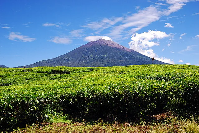
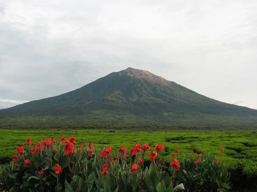
Kerinci Valley is located in Jambi Province on the island of Sumatra, almost entirely surrounded by the Kerinci Seblat National Park, a UNESCO World Heritage site. The valley is dominated by Mount Kerinci, which at 3805 meters is the highest volcano in Indonesia and the highest peak in Sumatra. The region is famous for its fertile volcanic soils, supporting high-quality tea plantations and cinnamon forests established during the Dutch colonial era. Culturally, the valley is home to the Kerinci people, who maintain a distinct language and architectural traditions such as unique longhouses. Biodiversity in the area is exceptionally high, including endangered species like the Sumatran tiger and rhinoceros. Lake Kerinci in the south provides a crucial water source and fishing grounds for the local population.
- Location: Indonesia
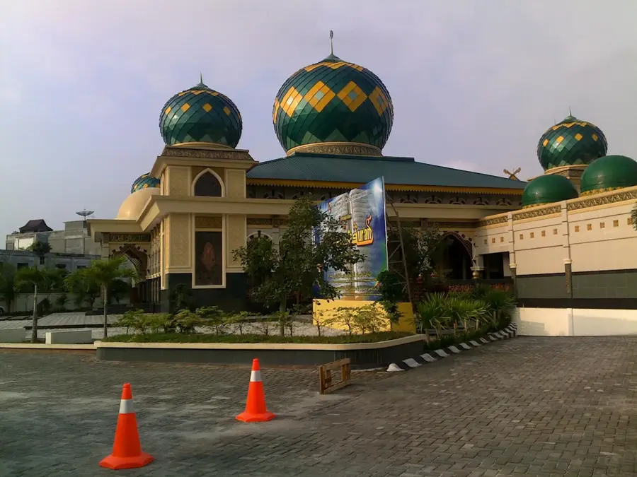
- Top sights: Museum Kerinci · Masjid Kuno Tanjung Pauh Ilir · Bukit Tebakar
Best time to visit & climate
The most pleasant time to visit is Jun–Aug.
| Jan | Feb | Mar | Apr | May | Jun | Jul | Aug | Sep | Oct | Nov | Dec | |
|---|---|---|---|---|---|---|---|---|---|---|---|---|
| Avg °C | 22 | 22 | 22 | 22 | 23 | 22 | 22 | 22 | 22 | 22 | 22 | 22 |
| Rain mm | 174 | 194 | 214 | 222 | 152 | 132 | 121 | 132 | 162 | 201 | 268 | 211 |
📋 Practical info
Geography
Facts
- Mount Kerinci peak at 3805 meters
- UNESCO World Heritage site status
- Largest tea producing area in Sumatra
- Habitat for the endangered Sumatran tiger
- Lake Kerinci spans 46 square kilometers
- World leader in cinnamon production
Explore nearby
Notable places around
Route planner — Car & Motorhome
Where do you start? We build the route here, with stops and country notes along the way.
© OpenStreetMap contributors · OpenRouteService
Sights in the town Kerinci Valley (10)
Sights nearby
Frequently asked questions
What makes the Kerinci Valley special?
What can you do in the Kerinci Valley?
Are there accommodations available?
What is the climb up Mount Kerinci like?
When should you visit Kerinci Valley?
Kerinci Valley: where is it located?
Kerinci Valley: what is there to see?
Kerinci Valley: when is the best time to visit?
Kerinci Valley: why is it worth visiting?