Plizio Visual Lab
Satpura Range
Weather…
Water temperature…
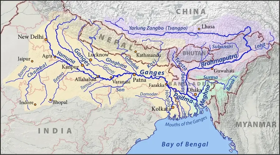
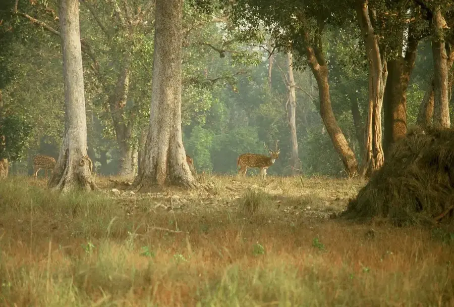
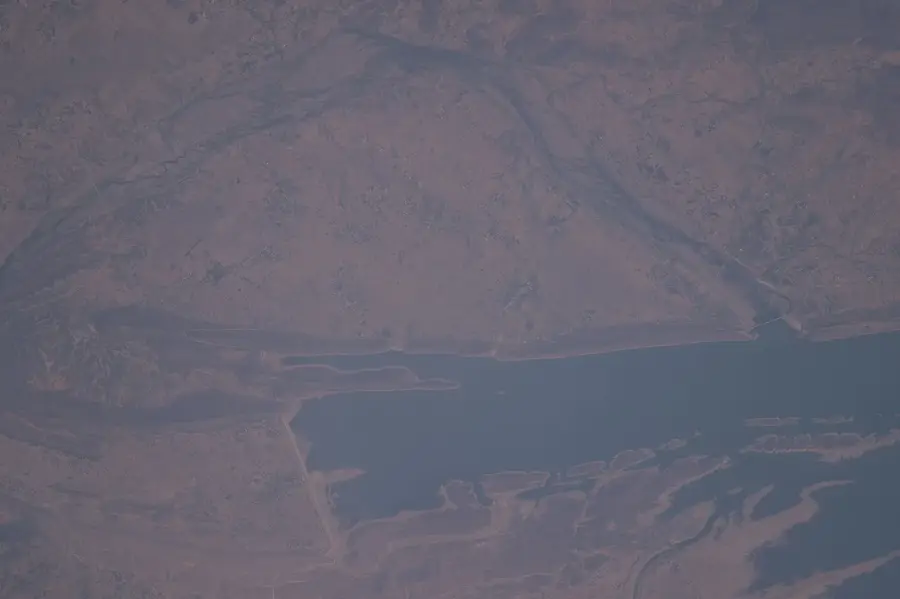
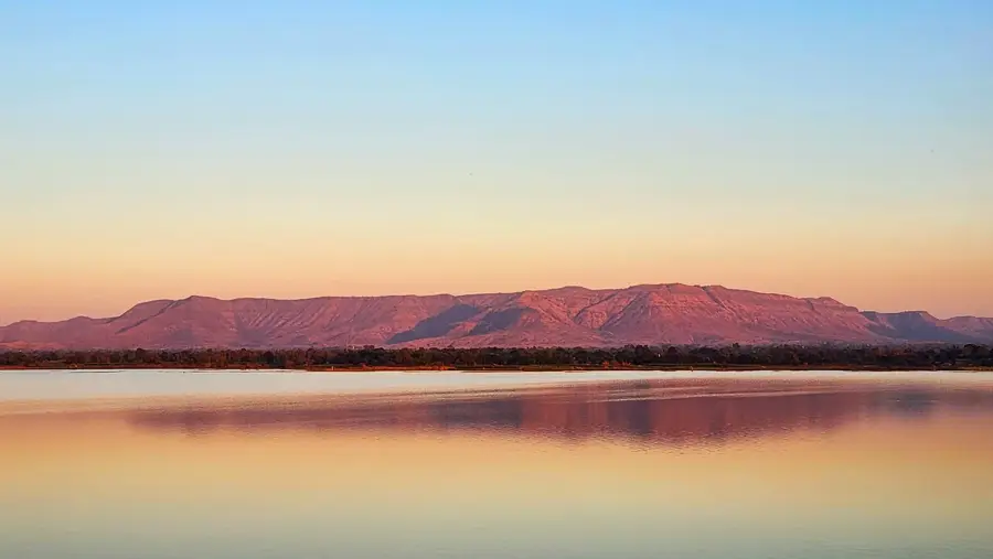
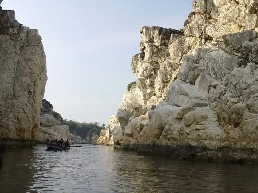
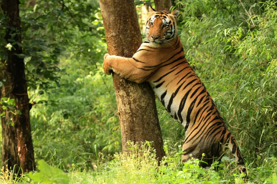
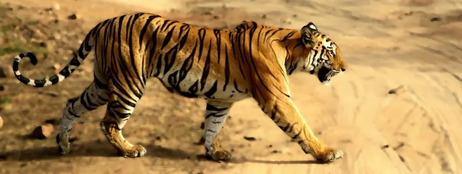
The Satpura Range is a major mountain range in central India, stretching across the states of Gujarat, Maharashtra, and Madhya Pradesh. The name Satpura is derived from Sanskrit, meaning Seven Folds, which refers to the complex series of hills that make up the range. It runs parallel to the Vindhya Range to the north and forms the watershed between the Narmada and Tapti rivers. The highest peak is Dhupgarh, standing at 1,350 meters near the hill station of Pachmarhi. The region is famous for its dense forests, primarily consisting of teak and sal trees, and hosts important tiger sanctuaries like the Satpura National Park. Geologically, the range is part of the Deccan Plateau and is predominantly composed of basaltic rocks of volcanic origin. The Satpura Range is not only ecologically precious but also rich in mineral resources and holds significant cultural importance for the indigenous tribes residing in the area.
- Location: India
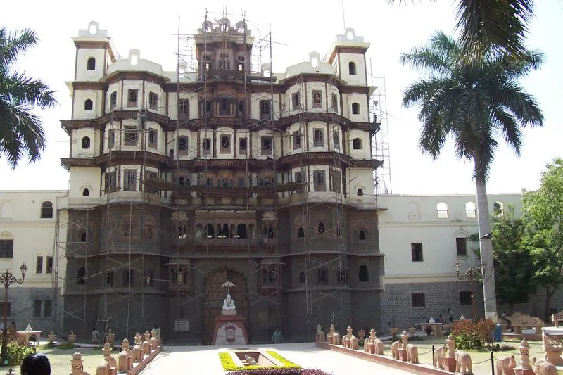
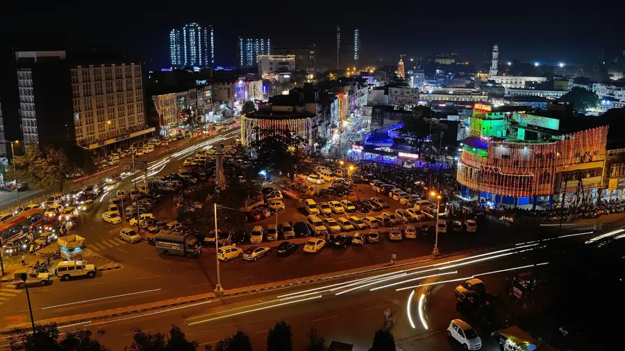
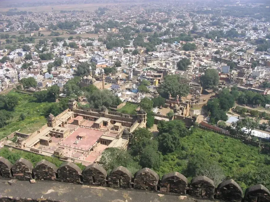
- Nearby: Indore (25 km)
Best time to visit & climate
The most pleasant time to visit is Jan, Nov, Dec.
| Jan | Feb | Mar | Apr | May | Jun | Jul | Aug | Sep | Oct | Nov | Dec | |
|---|---|---|---|---|---|---|---|---|---|---|---|---|
| Avg °C | 20 | 24 | 28 | 33 | 36 | 32 | 28 | 26 | 26 | 25 | 23 | 20 |
| Rain mm | 7 | 5 | 10 | 5 | 12 | 139 | 322 | 293 | 177 | 34 | 14 | 4 |
📋 Practical info
Geography
Facts
- 1,350m: Height of Dhupgarh, the highest peak.
- 900 km: Approximate length of the mountain range.
- 524 km²: Core area of the Satpura National Park.
- 7: Meaning of Satpura in Sanskrit (Seven Folds).
- 1981: Year the national park was established.
- 2 rivers: Separates the Narmada and Tapti valleys.
Explore nearby
Notable places around
Route planner — Car & Motorhome
Where do you start? We build the route here, with stops and country notes along the way.
© OpenStreetMap contributors · OpenRouteService
Sights nearby
Frequently asked questions
Where is the Satpura Range located?
What is the highest point?
Can you go on safaris there?
Are there waterfalls in the area?
What is the landscape like?
Satpura Range: where is it located?
Satpura Range: when is the best time to visit?
Satpura Range: why is it worth visiting?

Nearby cities
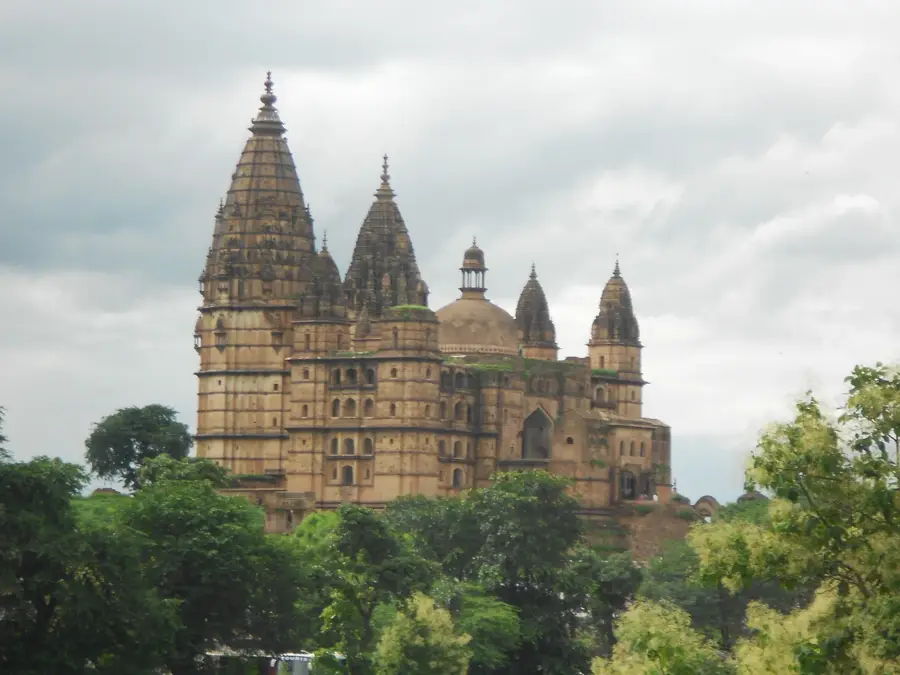
History & landmarks
More places