Plizio Visual Lab
Fort Sint Andries

Weather…
Water temperature…
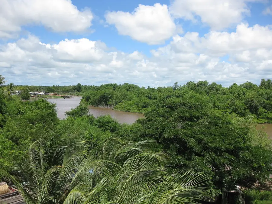
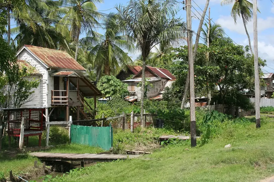
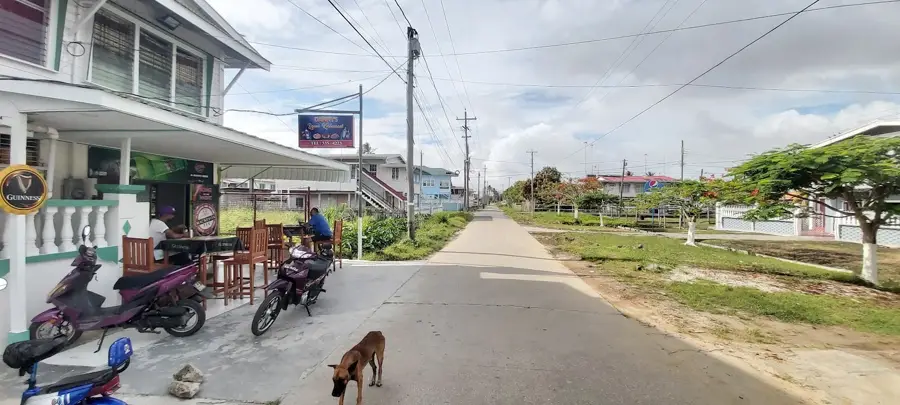
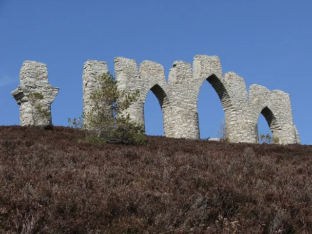
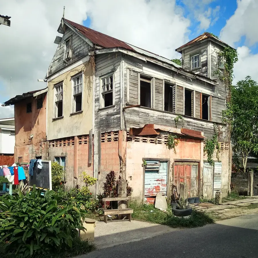
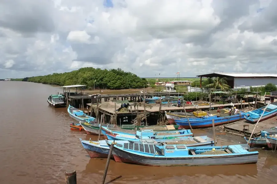
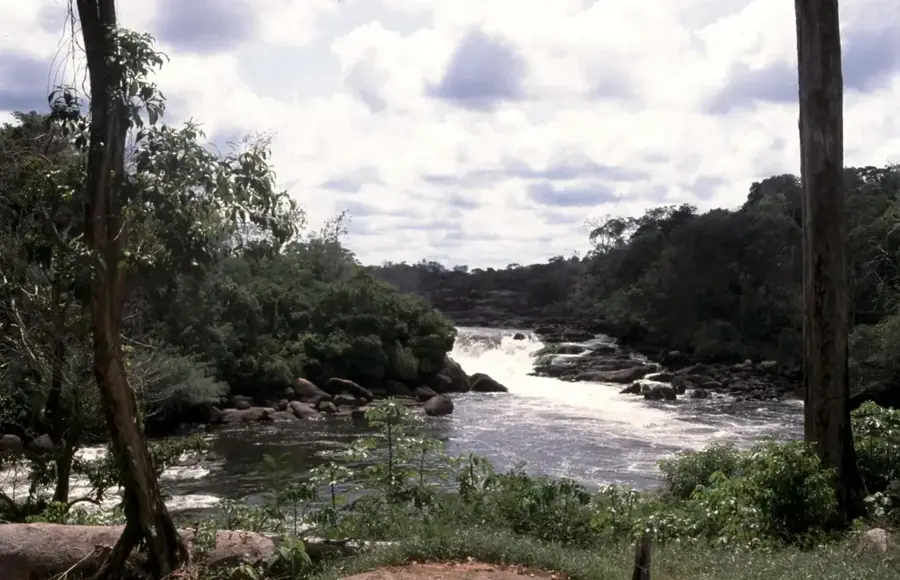
Fort Sint Andries was a strategically vital Dutch fortification located at the confluence of the Canje and Berbice Rivers, near present-day New Amsterdam. Constructed during the 1730s and 1740s by the Dutch West India Company, the fort was designed to secure the expanding colony of Berbice. It functioned as both an administrative hub and a military outpost for monitoring naval traffic and defending against rival colonial powers like Britain and France. During the Great Berbice Slave Rebellion of 1763, the fort played a pivotal role as a sanctuary for Dutch settlers before they were eventually forced to retreat toward the river's mouth. Following the permanent British acquisition of the colony in 1803, the fort lost its strategic utility and was abandoned. Today, only ruins and foundations of the once-imposing site remain, largely reclaimed by dense tropical vegetation. The site serves as a significant archaeological landmark, recalling the Dutch era and the intense conflicts for control over Guiana.
- Location: Guyana
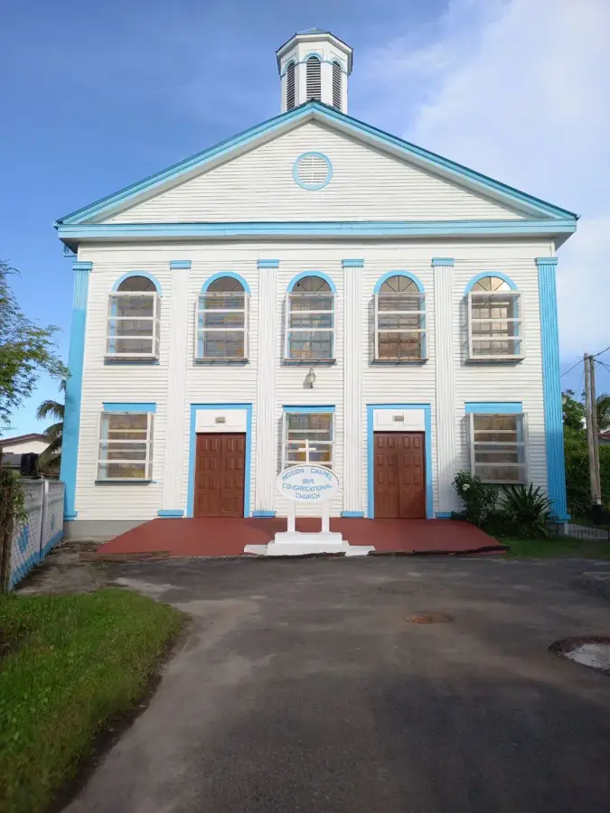
- Top sights: Glasgow Methodist Church · Presbyterian Church · Masjid Annur
- Nearby: Rosignol (4 km)
Best time to visit & climate
The most pleasant time to visit is Mar, Sep, Oct.
| Jan | Feb | Mar | Apr | May | Jun | Jul | Aug | Sep | Oct | Nov | Dec | |
|---|---|---|---|---|---|---|---|---|---|---|---|---|
| Avg °C | 26 | 26 | 26 | 27 | 26 | 26 | 26 | 26 | 27 | 28 | 28 | 27 |
| Rain mm | 138 | 111 | 103 | 149 | 266 | 235 | 228 | 147 | 66 | 65 | 93 | 183 |
📋 Practical info
Geography
Facts
- The fort was commissioned circa 1740 by the Dutch West India Company.
- It is situated at the strategically important mouth of the Canje River.
- Governor van Hoogenheim sought refuge here during the 1763 uprising.
- The site was abandoned by the mid-19th century as New Amsterdam grew.
- Archeological remains at the site include Dutch brickwork and foundations.
- The fort is named after Saint Andrew, reflecting the Dutch influence in the region.
Explore nearby
Notable places around
Route planner — Car & Motorhome
Where do you start? We build the route here, with stops and country notes along the way.
© OpenStreetMap contributors · OpenRouteService
Sights in the town Fort Sint Andries (3)
Sights nearby
Frequently asked questions
What is Fort Sint Andries?
Can the ruins be visited?
Where is it located?
When was it built?
Is there a visitor center there?
Fort Sint Andries: where is it located?
Fort Sint Andries: what is there to see?
Fort Sint Andries: when is the best time to visit?
Fort Sint Andries: why is it worth visiting?

Nearby cities


History & landmarks
Nature
More places