Plizio Visual Lab
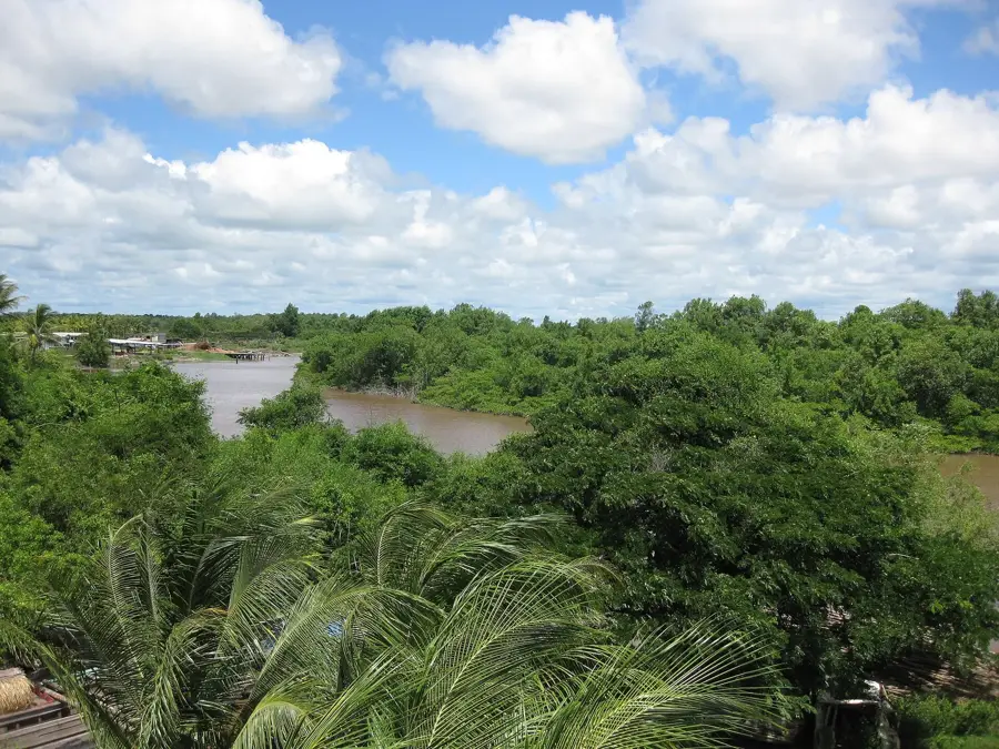
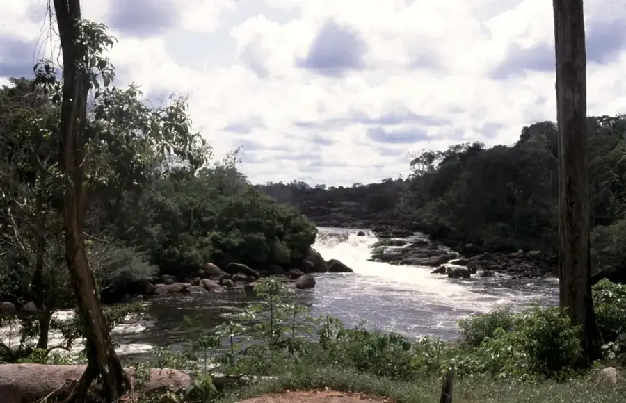
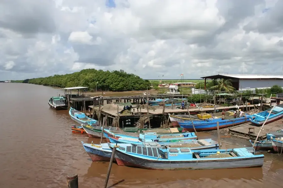
Corentyne River
Weather…
Water temperature…
The Corentyne River is the longest border river in South America, stretching approximately 724 kilometers and forming the natural boundary between Guyana and Suriname. It originates in the Acarai Mountains and flows northward through pristine rainforests before emptying into the Atlantic Ocean. The river is renowned for its spectacular waterfalls, most notably the Wonotobo Falls, which are among the largest and most impressive in the region. The Corentyne is navigable for ocean-going vessels up to 70 kilometers upstream, serving as a critical trade and transport route for the surrounding areas. Throughout its course, the river features numerous islands, some of which have been the subject of long-standing territorial discussions between the two neighboring nations. Its ecological importance is profound, providing a sanctuary for endangered species such as the giant otter and the black caiman. The river's banks remain sparsely populated, contributing to the preservation of its natural beauty and tranquility. The Corentyne is both a significant political border and a vital ecosystem of continental importance.
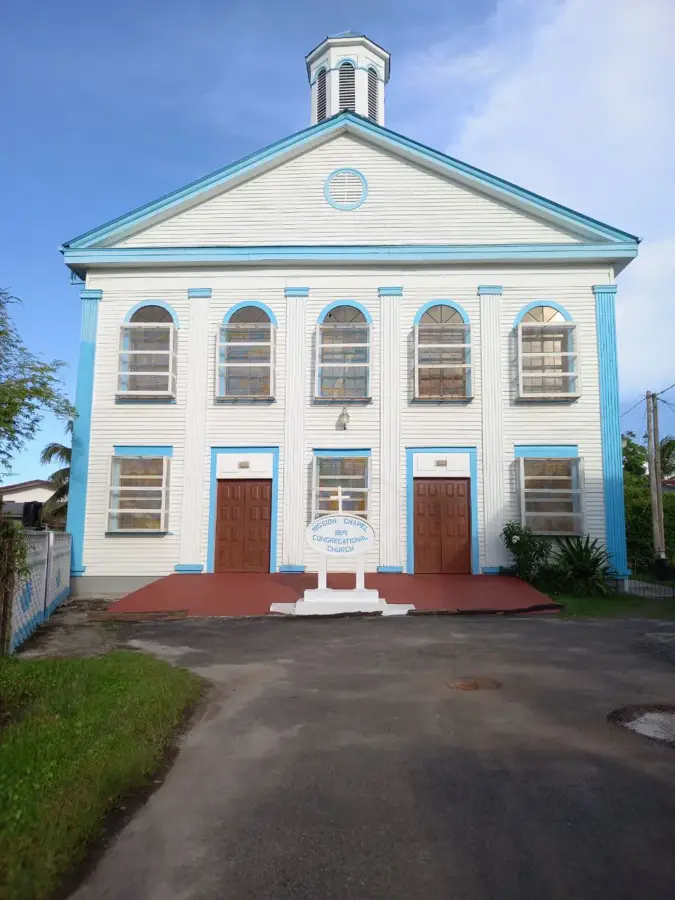
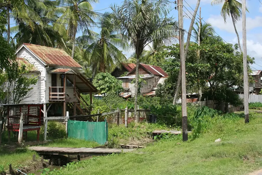
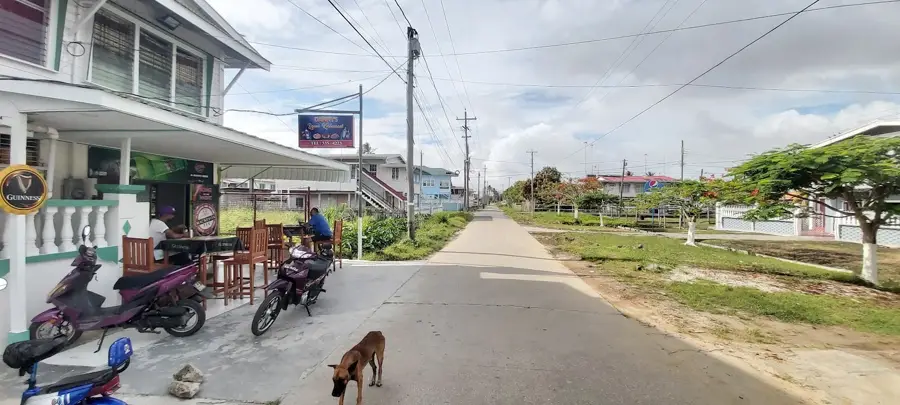
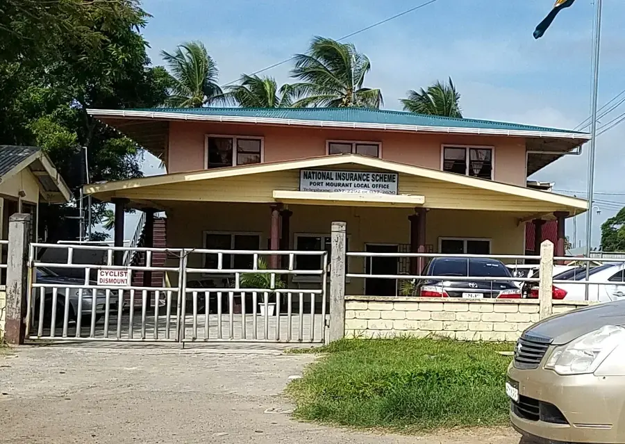
- Location: Guyana
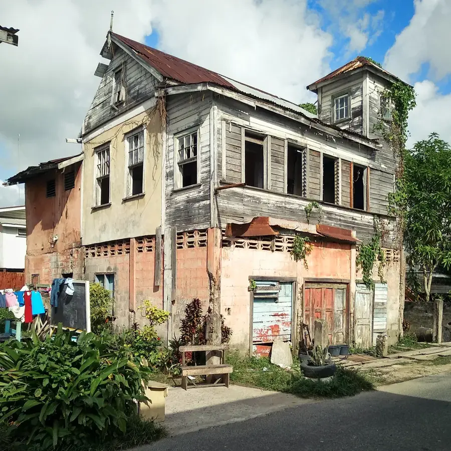
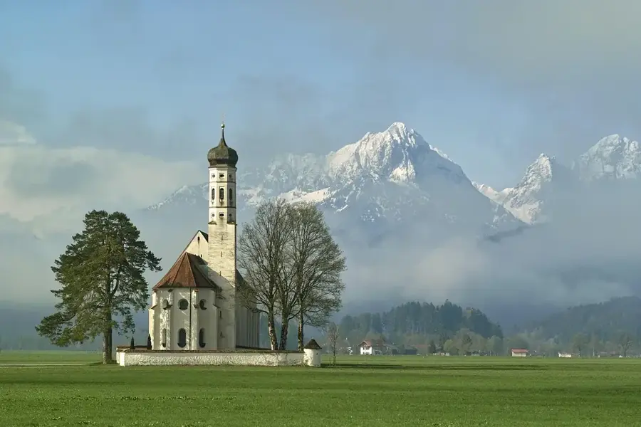
- Top sights: No. 63 Beach · Masjid Waheda · Mandir
- Nearby: Skeldon (4 km)
Best time to visit & climate
The most pleasant time to visit is Mar, Sep, Oct.
| Jan | Feb | Mar | Apr | May | Jun | Jul | Aug | Sep | Oct | Nov | Dec | |
|---|---|---|---|---|---|---|---|---|---|---|---|---|
| Avg °C | 26 | 26 | 26 | 27 | 27 | 26 | 26 | 27 | 28 | 28 | 28 | 27 |
| Rain mm | 133 | 109 | 103 | 149 | 261 | 234 | 228 | 146 | 65 | 64 | 89 | 180 |
📋 Practical info
Geography
Facts
- Longest border river in South America (724 km)
- Forms the boundary between Guyana and Suriname
- Home to the massive Wonotobo Falls
- Navigable for ocean ships for up to 70 km
- Key habitat for the endangered giant otter
- Source is located in the Acarai Mountains
Explore nearby
Notable places around
Route planner — Car & Motorhome
Where do you start? We build the route here, with stops and country notes along the way.
© OpenStreetMap contributors · OpenRouteService
Sights in the town Corentyne River (3)
Sights nearby
Frequently asked questions
Does the Corantijn form the border with Suriname?
Are there waterfalls on the Corantijn?
How do you travel along the river?
Are there settlements on the river banks?
Is fishing allowed on the Corantijn?
Corentyne River: where is it located?
Corentyne River: what is there to see?
Corentyne River: when is the best time to visit?
Corentyne River: why is it worth visiting?

Nearby cities


History & landmarks
Nature
More places