Plizio Visual Lab
Merume Mountains

Weather…
Water temperature…
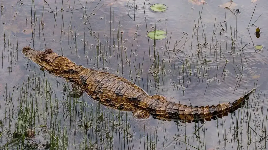
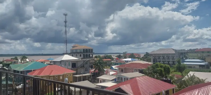
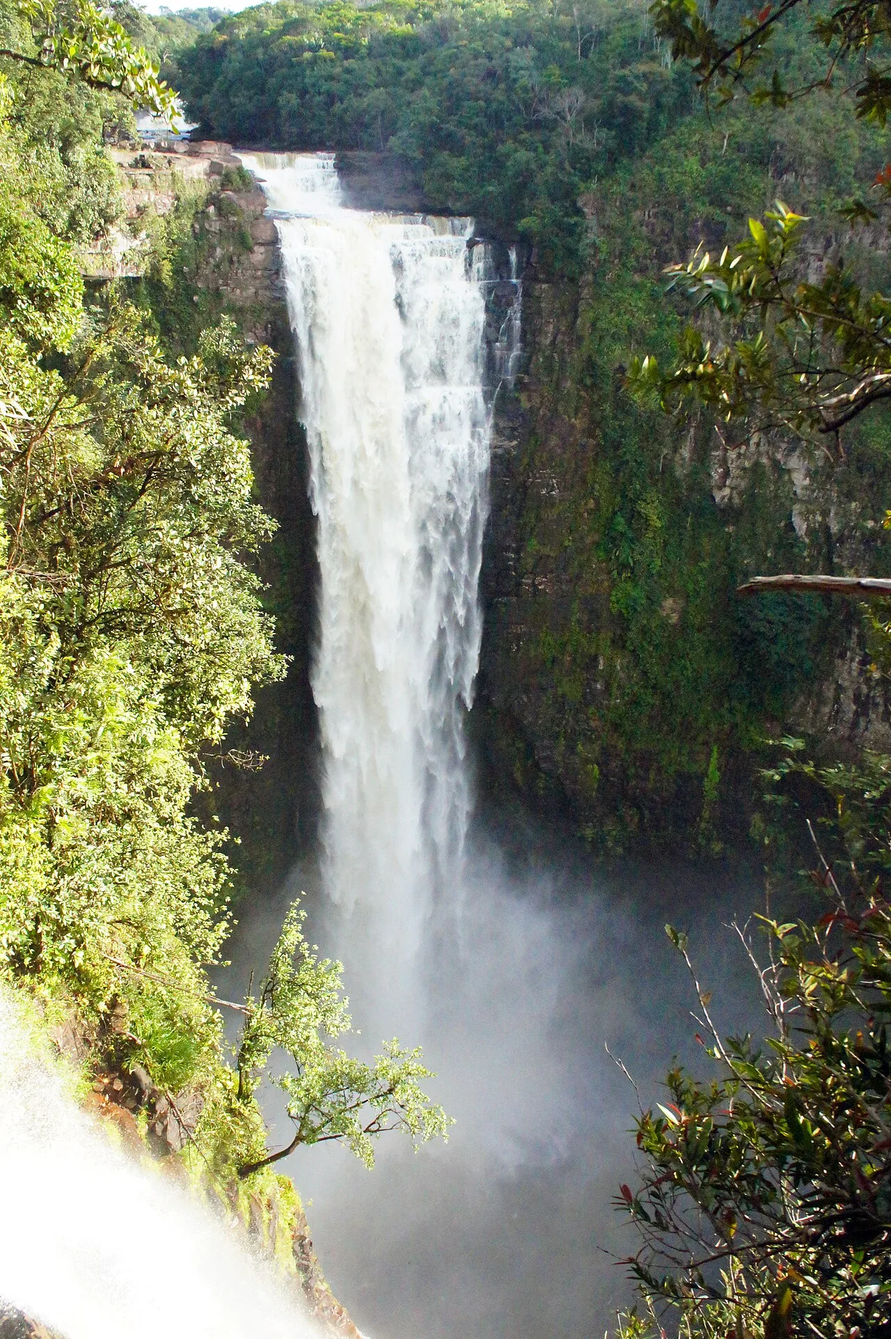
The Merume Mountains are a mountain range in the Cuyuni-Mazaruni region of western Guyana, forming part of the Pakaraima Mountains. The range reaches elevations of over 1,100 meters and is known for its rugged, dissected topography characterized by dense tropical rainforests and high-altitude bogs. Geologically, the mountains consist of Precambrian sandstone that has been eroded into spectacular formations over millions of years. The region is highly biodiverse and home to numerous endemic animal species, such as the Merume Dragon (a species of lizard) found only in this specific habitat. In Guyana's history, the Merume Mountains played a role as a center for diamond and gold mining, with many miners braving the harsh conditions to prospect in remote creeks. The climate is defined by high humidity and near-daily rainfall, leading to the formation of numerous small rivers that drain into the Mazaruni River. Today, the area is of primary interest to conservationists and biologists studying the unique ecosystems of the Guiana Shield. The mountains remain largely pristine and inaccessible due to a lack of infrastructure.
- Location: Guyana
- Nearby: Karuaimeng (30 km)
Best time to visit & climate
The most pleasant time to visit is Feb, Mar, Oct.
| Jan | Feb | Mar | Apr | May | Jun | Jul | Aug | Sep | Oct | Nov | Dec | |
|---|---|---|---|---|---|---|---|---|---|---|---|---|
| Avg °C | 24 | 25 | 26 | 26 | 25 | 24 | 24 | 25 | 25 | 25 | 25 | 25 |
| Rain mm | 128 | 89 | 69 | 129 | 271 | 285 | 247 | 191 | 97 | 80 | 113 | 148 |
📋 Practical info
Geography
Facts
- The highest point in the range is approximately 1,140 meters.
- The 'Merume Dragon' (Neusticurus arekuna) lizard is endemic here.
- The mountains are primarily composed of Precambrian sandstone.
- A significant diamond rush occurred in this region during the 1950s.
- The range serves as the headwaters for the Merume River.
- Most of the mountain range remains entirely roadless and wild.
Explore nearby
Notable places around
Route planner — Car & Motorhome
Where do you start? We build the route here, with stops and country notes along the way.
© OpenStreetMap contributors · OpenRouteService
Sights nearby
Frequently asked questions
Where are the Merume Mountains located?
What is the region known for?
Are there waterfalls there?
What is the terrain like?
Can you camp there?
Merume Mountains: where is it located?
Merume Mountains: when is the best time to visit?
Merume Mountains: why is it worth visiting?

Nearby cities
Nature
More places