Plizio Visual Lab
Kaléta Hydropower Plant
Weather…
Water temperature…
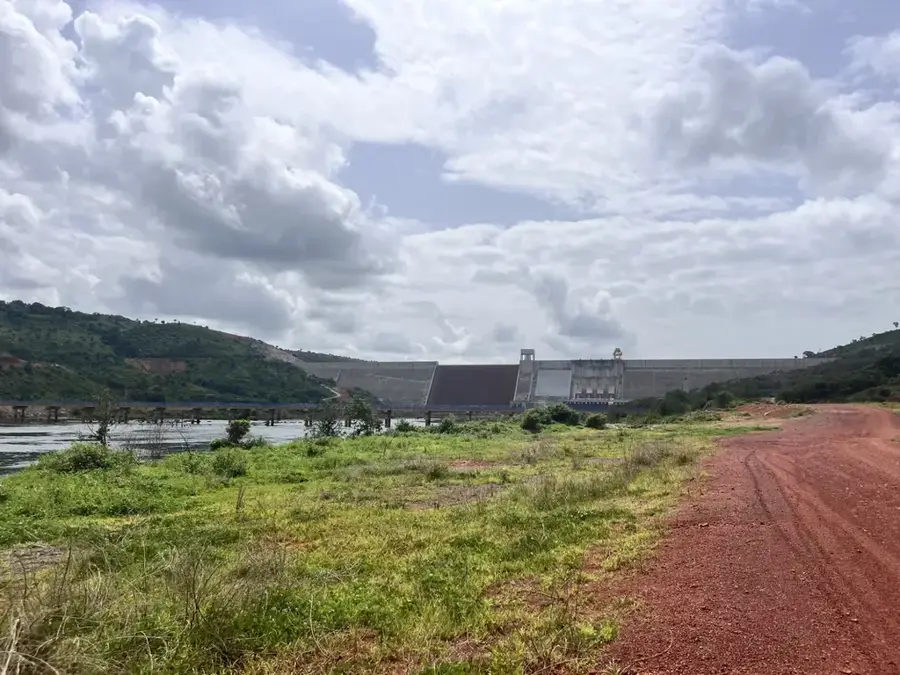
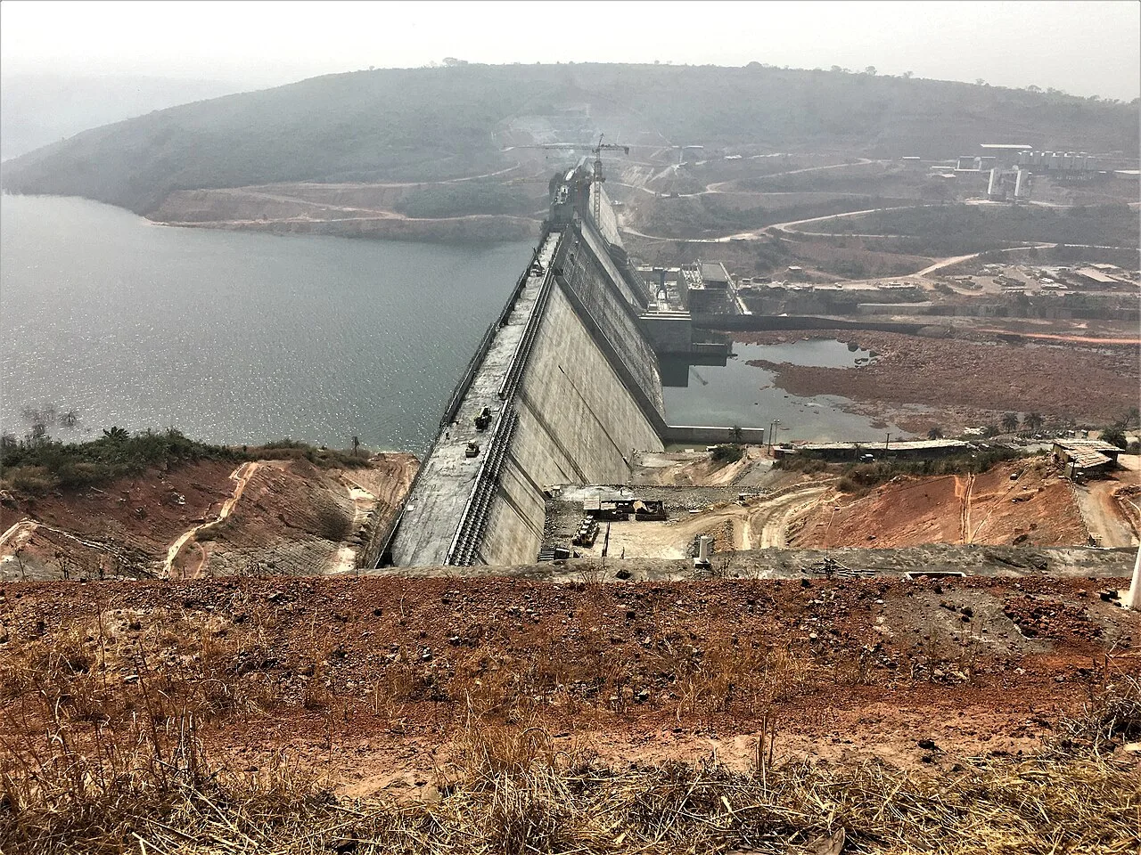
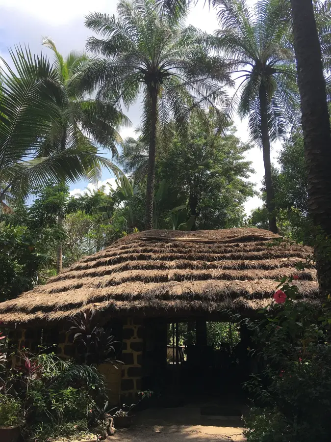
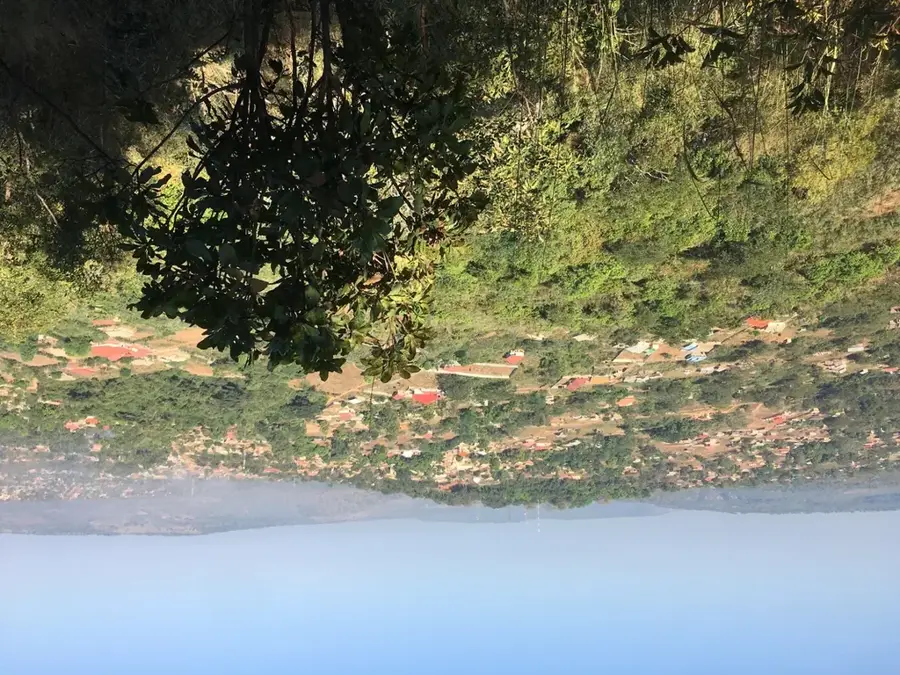
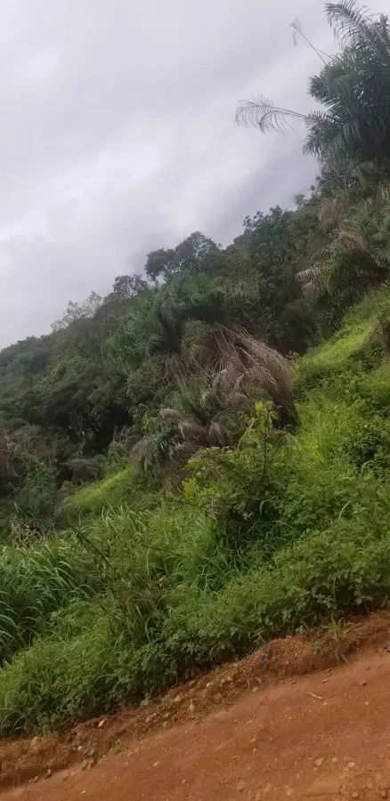
The Kaléta Hydropower Plant is one of Guinea's most significant energy projects, marking a turning point in the country's electricity supply. Located on the Konkouré River in the Dubréka Prefecture, about 150 kilometers northeast of the capital, Conakry, the plant has an installed capacity of 240 megawatts. Upon its commissioning in 2015, Kaléta nearly doubled the country's total energy capacity. Geographically, the plant harnesses the natural flow of the Konkouré River in a region characterized by dense tropical vegetation and water-rich tributaries. The massive project was primarily funded by the China Exim Bank and built by the China International Water & Electric Corporation (CWE). Economically, Kaléta is of existential importance, drastically reducing the chronic power outages in Conakry and surrounding cities while promoting industrial development, especially in the mining sector. The plant is part of a cascade of dams on the Konkouré River, which also includes the Garafiri and Souapiti projects. Kaléta has become a symbol of modernization and national pride for many Guineans, as it has significantly improved electricity access for a large portion of the population.
- Location: Guinea
- Nearby: Fria (34 km)
Best time to visit & climate
The most pleasant time to visit is Jan, Nov, Dec.
| Jan | Feb | Mar | Apr | May | Jun | Jul | Aug | Sep | Oct | Nov | Dec | |
|---|---|---|---|---|---|---|---|---|---|---|---|---|
| Avg °C | 27 | 29 | 30 | 30 | 29 | 26 | 25 | 25 | 25 | 26 | 26 | 25 |
| Rain mm | 0 | 2 | 2 | 11 | 80 | 287 | 614 | 720 | 417 | 186 | 38 | 1 |
📋 Practical info
Geography
Facts
- Kaléta has an installed capacity of 240 MW.
- The plant was inaugurated on Guinea's Independence Day in 2015.
- It is fed by the Konkouré River, Guinea's most water-rich river.
- China funded 75% of the project's construction costs.
- The dam wall stretches over 1.5 kilometers in length.
- Kaléta provides electricity to the national interconnected grid (SOGEKA).
Explore nearby
Notable places around
Route planner — Car & Motorhome
Where do you start? We build the route here, with stops and country notes along the way.
© OpenStreetMap contributors · OpenRouteService
Sights in the town Kaléta Hydropower Plant (1)
Sights nearby
Frequently asked questions
What is the Kaléta hydroelectric power plant?
Who built the power plant?
How much energy does it produce?
Can you visit the dam wall?
Where is Kaléta located?
Kaléta Hydropower Plant: where is it located?
Kaléta Hydropower Plant: when is the best time to visit?
Kaléta Hydropower Plant: why is it worth visiting?

Nearby cities

History & landmarks
Nature
More places