Plizio Visual Lab
Ponta Varela Lighthouse
Weather…
Water temperature…
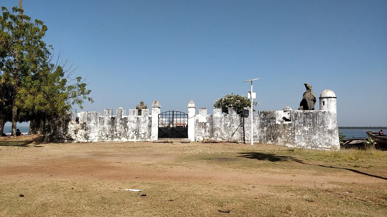
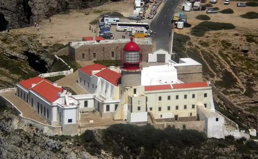
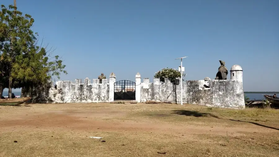
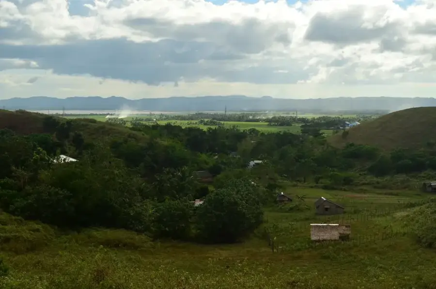
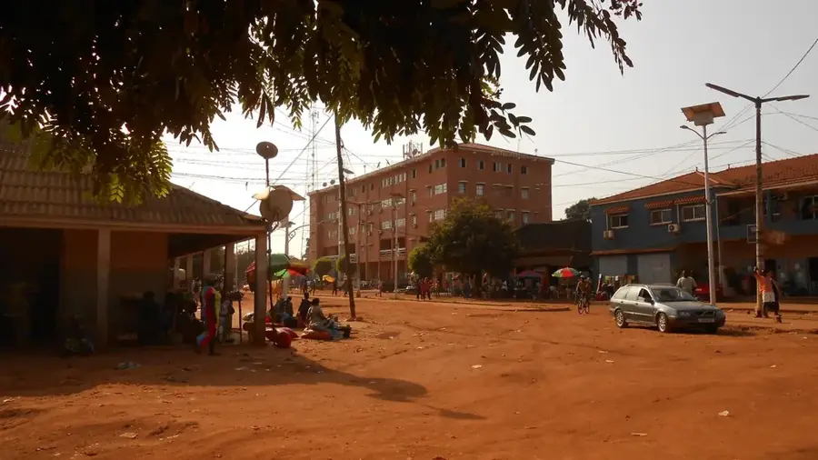
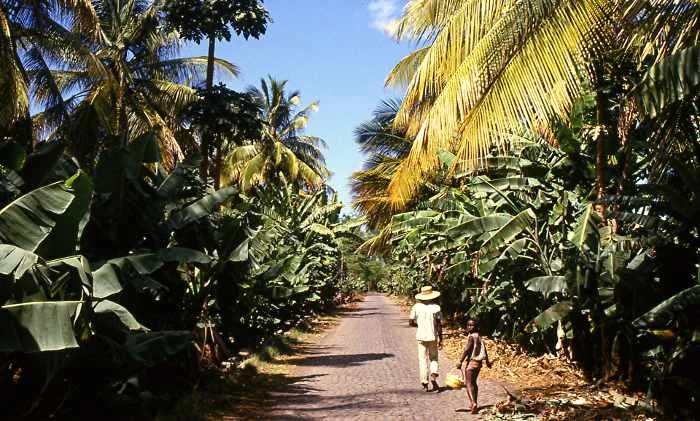
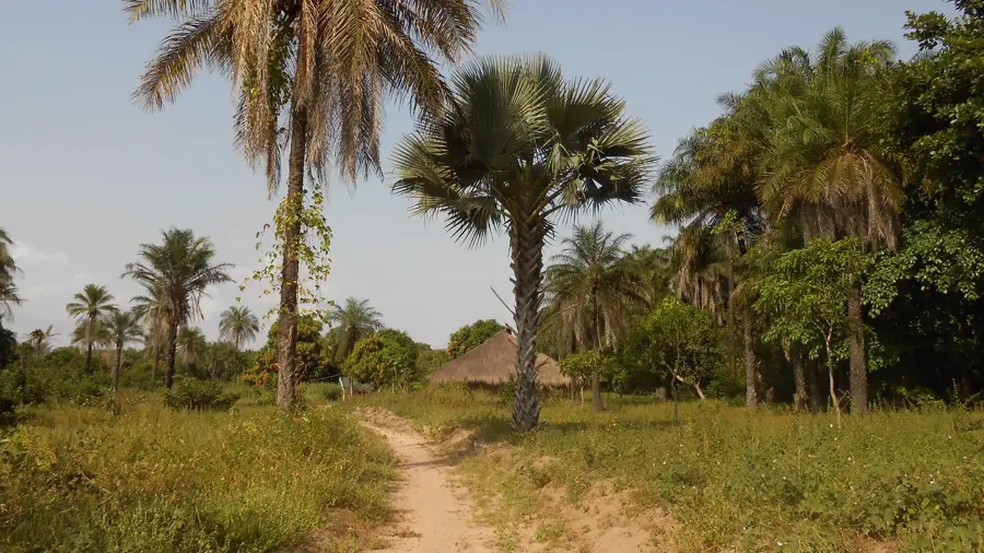
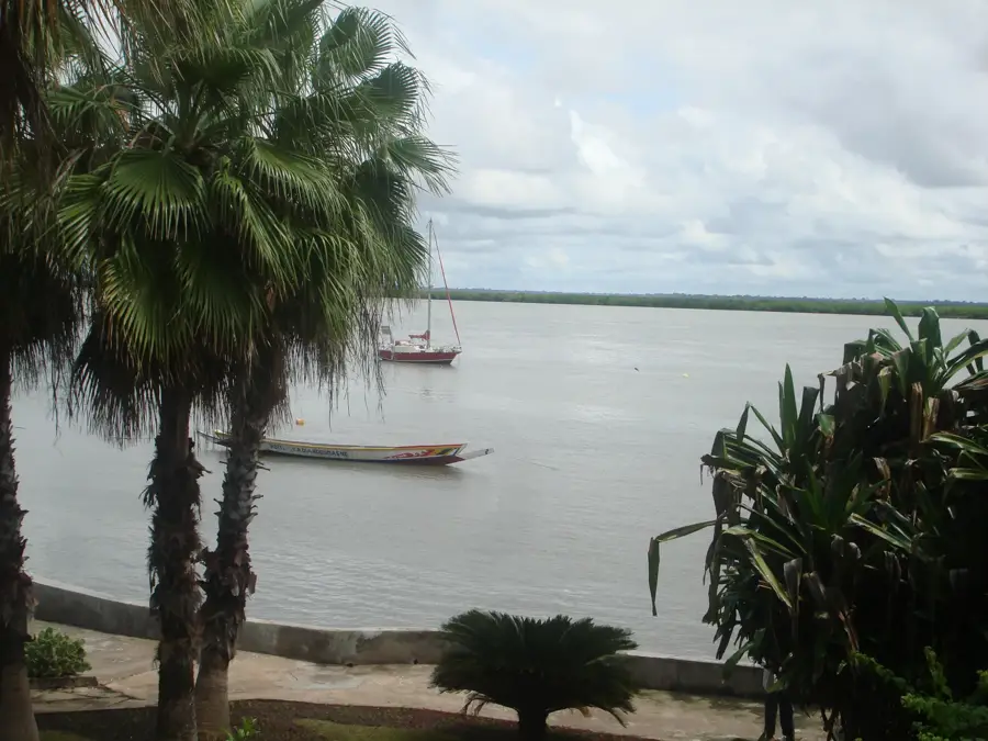
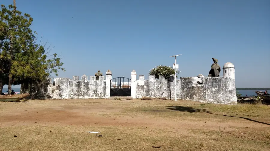
The Ponta Varela Lighthouse is located on the northwestern tip of Guinea-Bissau, near the border with Senegal. This strategic navigational point marks the transition from the open Atlantic Ocean to the shallower coastal waters of the Cacheu region. The tower's architecture is functional and sturdy, designed to withstand the harsh conditions of saline sea air and the strong coastal winds. Originally built during the colonial era, the lighthouse plays a critical role in regional maritime safety, particularly for fishing vessels and coastal freighters traveling between Bissau and neighboring northern countries. The area surrounding Varela is famous for its pristine beaches and dense vegetation, giving the lighthouse an isolated and almost majestic presence. For sailors, its signal is often the only landmark in a region characterized by thick mangrove forests and difficult-to-access coastlines. Despite limited maintenance in recent decades, the tower remains an essential technical monument, documenting the maritime history and geographic significance of Guinea-Bissau's northern coast.
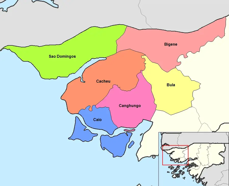
- Location: Guinea-Bissau
- Nearby: São Domingos (45 km)
Best time to visit & climate
The most pleasant time to visit is Jan, Feb, Dec.
| Jan | Feb | Mar | Apr | May | Jun | Jul | Aug | Sep | Oct | Nov | Dec | |
|---|---|---|---|---|---|---|---|---|---|---|---|---|
| Avg °C | 24 | 26 | 28 | 29 | 29 | 29 | 27 | 26 | 26 | 27 | 26 | 23 |
| Rain mm | 1 | 0 | 15 | 2 | 9 | 108 | 312 | 438 | 315 | 133 | 8 | 0 |
📋 Practical info
Geography
Facts
- The lighthouse is the northernmost coastal beacon in Guinea-Bissau.
- It provides essential guidance for ships entering the Casamance region.
- Varela is considered one of the most beautiful and remote beach areas in the country.
- The structure's height allows its light to penetrate seasonal coastal mists.
- It serves as a critical point for monitoring illegal fishing in northern waters.
- The lighthouse is a rare example of coastal infrastructure in the Tombali region.
Explore nearby
Notable places around
Route planner — Car & Motorhome
Where do you start? We build the route here, with stops and country notes along the way.
© OpenStreetMap contributors · OpenRouteService
Sights nearby
Frequently asked questions
Can one climb the lighthouse?
How is the road to the lighthouse?
Is there a beach nearby?
Are there toilets or restaurants there?
When is the best time to visit?
Ponta Varela Lighthouse: where is it located?
Ponta Varela Lighthouse: when is the best time to visit?
Ponta Varela Lighthouse: why is it worth visiting?

Nearby cities
History & landmarks
Nature
More places