Plizio Visual Lab
White Volta Valley

Weather…
Water temperature…
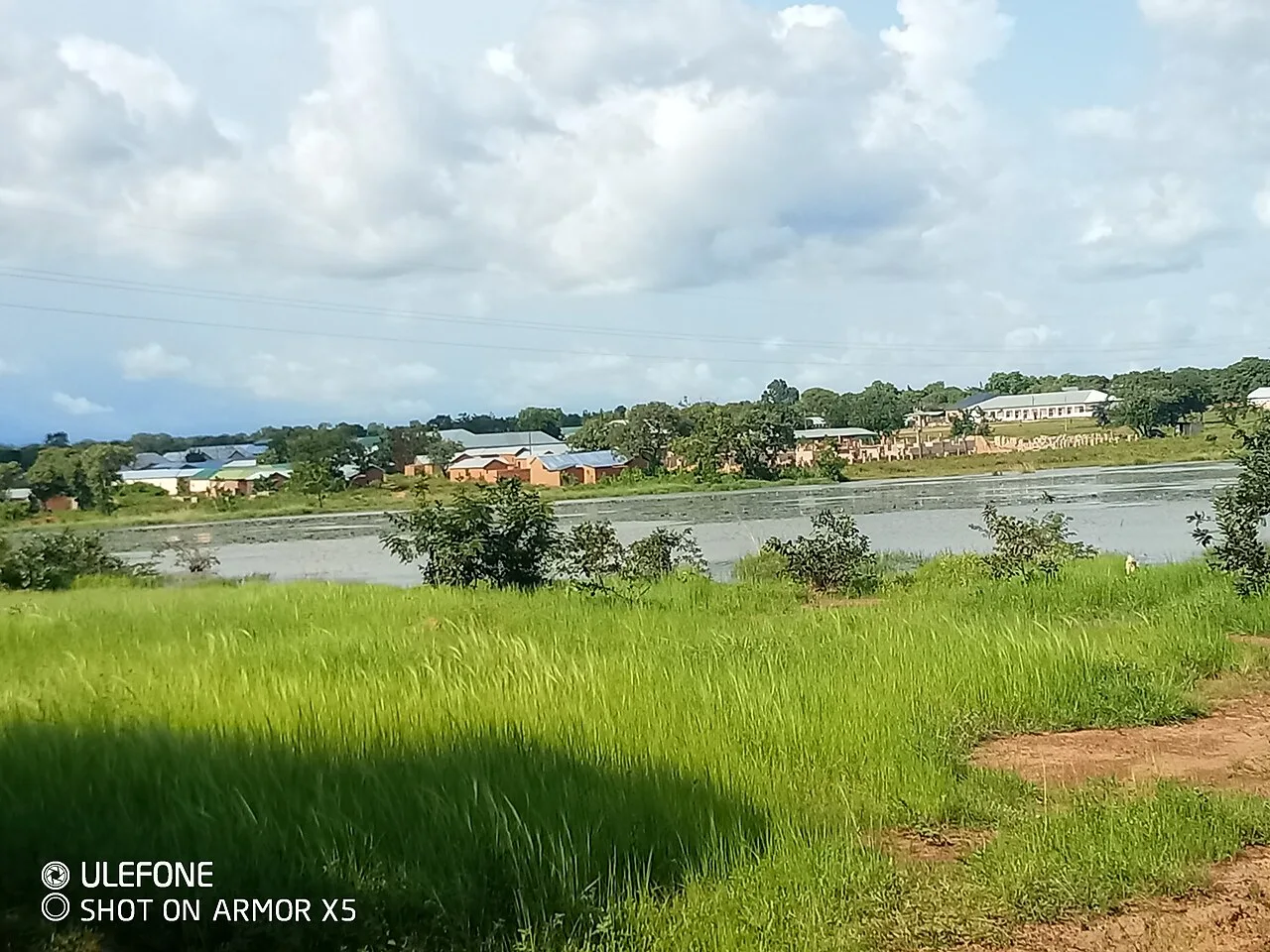
The White Volta Valley extends across northern Ghana, serving as one of the nation's most vital agricultural and hydrological corridors. The White Volta River, known as the Nakambé in Burkina Faso, traverses vast plains characterized by seasonal flooding and fertile sediment deposits. This valley region is a primary hub for the cultivation of rice, yams, and various cereals, making it indispensable for the food security of Ghana's northern regions. Geologically, the valley is situated within the Voltaian Basin, with the river course often following the gentle undulations of sandstone plateaus. During the rainy season, the river swells considerably, filling numerous oxbow lakes and temporary ponds that support local subsistence fishing. Historically, the valley was a key migration and trade route connecting the Sahelian hinterland with the southern forest zones. Today, the valley remains critical for international water management, as it provides a major portion of the inflow for Lake Volta to the south.
- Location: Ghana
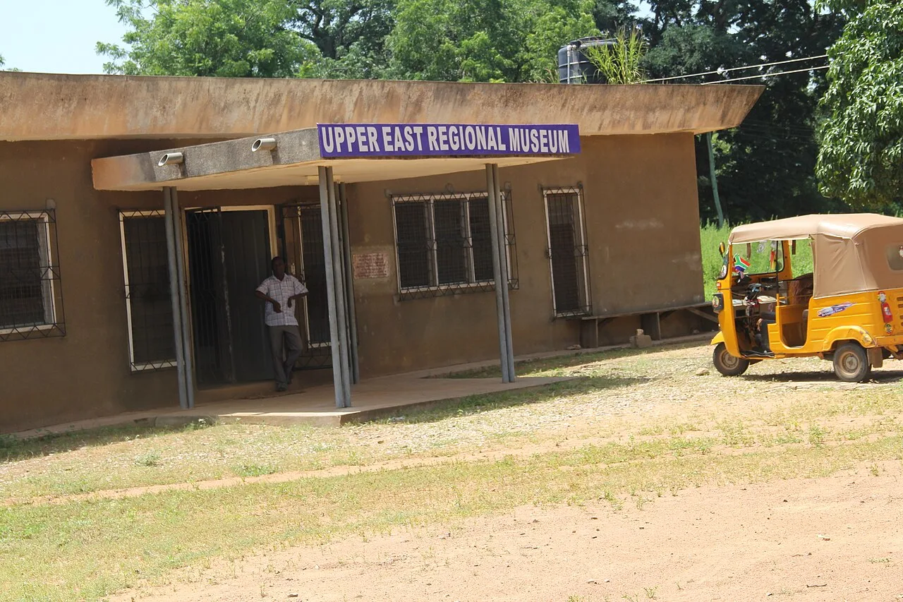
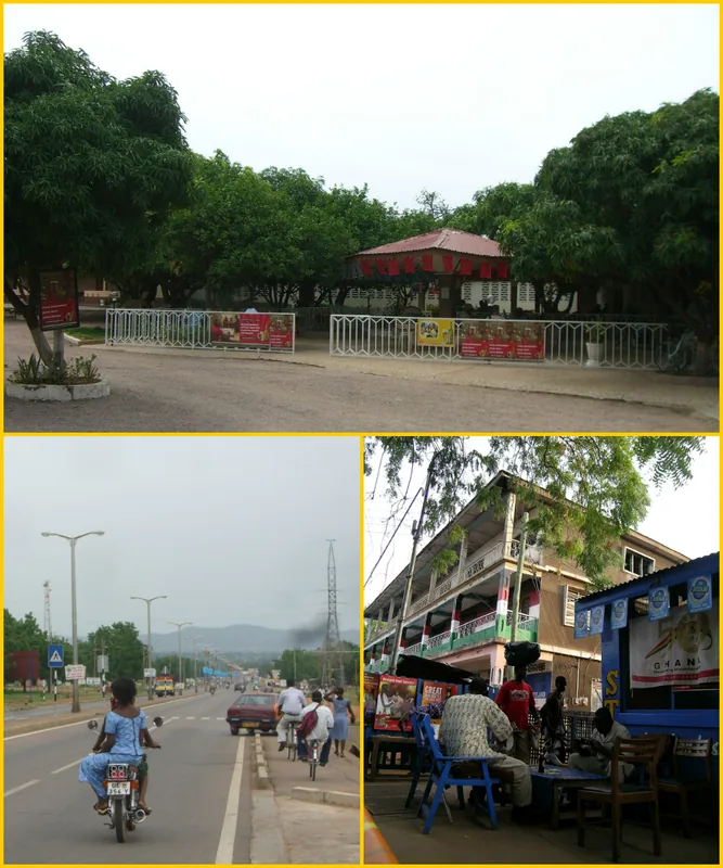
- Nearby: Bolgatanga (32 km)
Best time to visit & climate
The most pleasant time to visit is Jan, Nov, Dec.
| Jan | Feb | Mar | Apr | May | Jun | Jul | Aug | Sep | Oct | Nov | Dec | |
|---|---|---|---|---|---|---|---|---|---|---|---|---|
| Avg °C | 26 | 29 | 32 | 32 | 30 | 28 | 27 | 26 | 26 | 27 | 27 | 25 |
| Rain mm | 2 | 7 | 15 | 67 | 110 | 140 | 227 | 278 | 208 | 80 | 4 | 0 |
📋 Practical info
Geography
Facts
- Known as the Nakambé River in Burkina Faso
- Major source of inflow for southern Lake Volta
- Central hub for rice and yam cultivation
- Flows through the geological Voltaian Basin
- Dominates the landscape of northern Ghana
- Supports essential local artisanal fishing
Explore nearby
Notable places around
Route planner — Car & Motorhome
Where do you start? We build the route here, with stops and country notes along the way.
© OpenStreetMap contributors · OpenRouteService
Sights nearby
Frequently asked questions
What characterizes the White Volta Valley?
What risks are there in the valley?
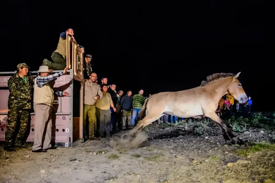
What animals live in the valley?
What is the land used for?
When is the best time to visit?
White Volta Valley: where is it located?
White Volta Valley: when is the best time to visit?
White Volta Valley: why is it worth visiting?

Nearby cities


History & landmarks

More places