Plizio Visual Lab
Navrongo

ℹ️Practical info — Navrongo
▾
🌤 Weather — 5 days
📍 Nearby
Sights nearby
💡 Tips
- The Navrongo Mud Cathedral is a must-see; dress modestly when visiting this historic site.
- The climate is much hotter and drier here; carry water at all times and wear sun protection.
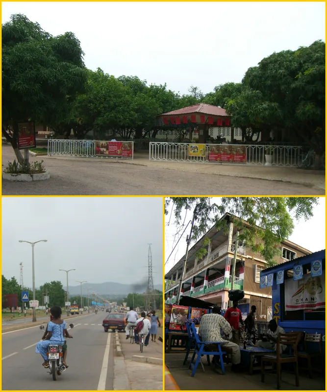
- Bicycles and motorbikes are the most common modes of local transport.
- Visit the Tono Dam area in the late afternoon for cooler breezes and bird watching.
🍽 Food
A popular northern staple made from maize or millet, served with ayoyo soup.
Try spicy grilled or fried guinea fowl, a specialty of the Upper East Region.
Sample this traditional fermented millet beer at a local pito bar.
🛍 Shopping · 🧘 Quiet spots
Animated every third day, great for buying smocks (fugu), woven baskets, and shea butter.
Look for locally crafted leather bags and sandals in the market area.
A vast, peaceful reservoir just outside town, handy for a quiet afternoon.
The shaded area around the mud cathedral provides a cool, contemplative atmosphere.
Water temperature…
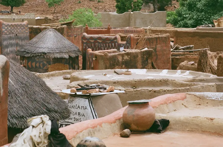
Navrongo is a prominent town in the Upper East Region of Ghana, located near the border with Burkina Faso. It is historically renowned as a major missionary center and is home to the St. John’s Basilica, a mud-brick church built in 1906 by French missionaries, which stands as a masterpiece of Sudano-Sahelian architecture. The town serves as the administrative capital of the Kassena-Nankana District and is a cultural melting pot for the Kassena and Nankana ethnic groups. Navrongo is also a significant educational hub, hosting a campus of the University for Development Studies (UDS). The surrounding agriculture is heavily supported by the Tono Dam, one of West Africa's largest irrigation projects. This dam enables year-round cultivation of rice, tomatoes, and soybeans in an otherwise semi-arid region. The climate is tropical continental, characterized by a distinct dry season influenced by the Harmattan wind. The town remains a vital commercial site for cross-border trade with northern neighbors.
- Location: Ghana
- Nearby: Bolgatanga (29 km)
- Population: ~25.470 (2025)
Best time to visit & climate
The most pleasant time to visit is Jan, Nov, Dec.
| Jan | Feb | Mar | Apr | May | Jun | Jul | Aug | Sep | Oct | Nov | Dec | |
|---|---|---|---|---|---|---|---|---|---|---|---|---|
| Avg °C | 25 | 29 | 32 | 32 | 30 | 28 | 27 | 26 | 26 | 26 | 26 | 25 |
| Rain mm | 1 | 4 | 10 | 57 | 92 | 122 | 213 | 269 | 194 | 68 | 2 | 0 |
Geography
Facts
- Located in the Upper East Region, near the Burkina Faso border.
- Home to St. John’s Basilica, a mud-brick church built in 1906.
- Administrative capital of the Kassena-Nankana District.
- Hosts a campus of the University for Development Studies (UDS).
- Supported by the Tono Dam, a large-scale irrigation project.
- Key center for rice, tomato, and soybean production in the north.
Explore nearby
Notable places around
Route planner — Car & Motorhome
Where do you start? We build the route here, with stops and country notes along the way.
© OpenStreetMap contributors · OpenRouteService
Sights in the town Navrongo (1)
Frequently asked questions
What is the most famous landmark in Navrongo?
Is Navrongo safe for travelers?
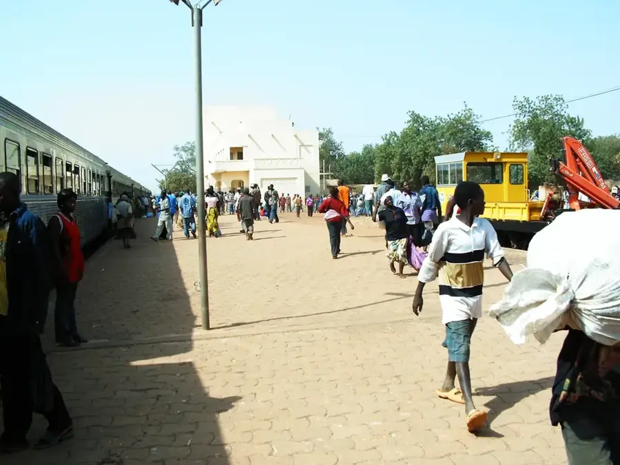
How to get there?
Are there solar plants in Navrongo?
What climate awaits visitors?
Navrongo: where is it located?
Navrongo: when is the best time to visit?
Navrongo: why is it worth visiting?

Nearby cities

History & landmarks

More places