Plizio Visual Lab
Ashanti Uplands
Weather…
Water temperature…
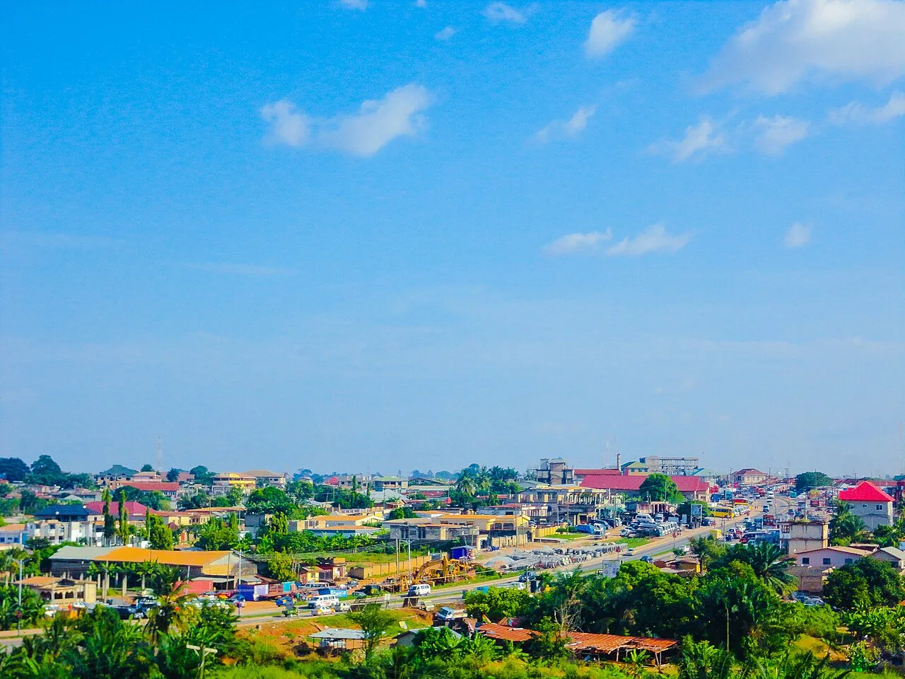
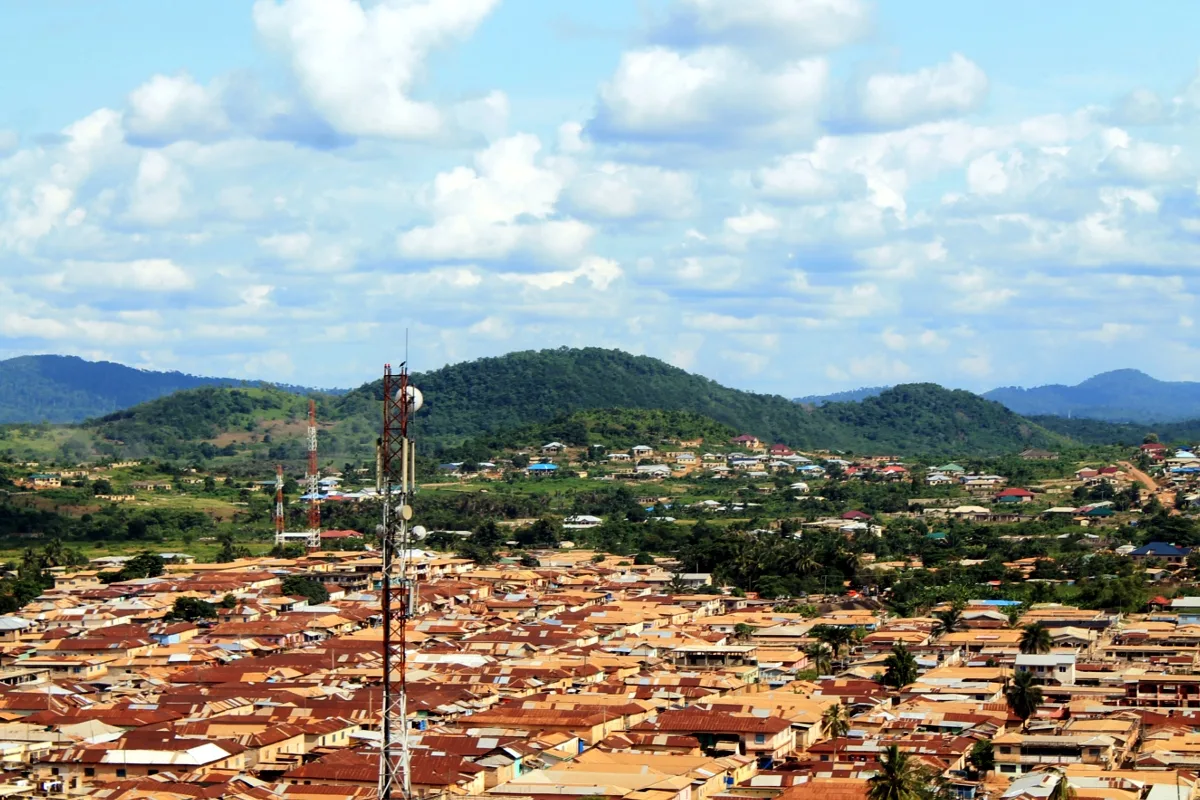
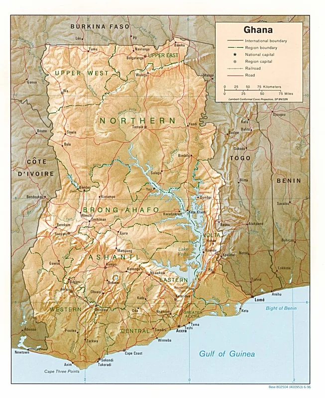
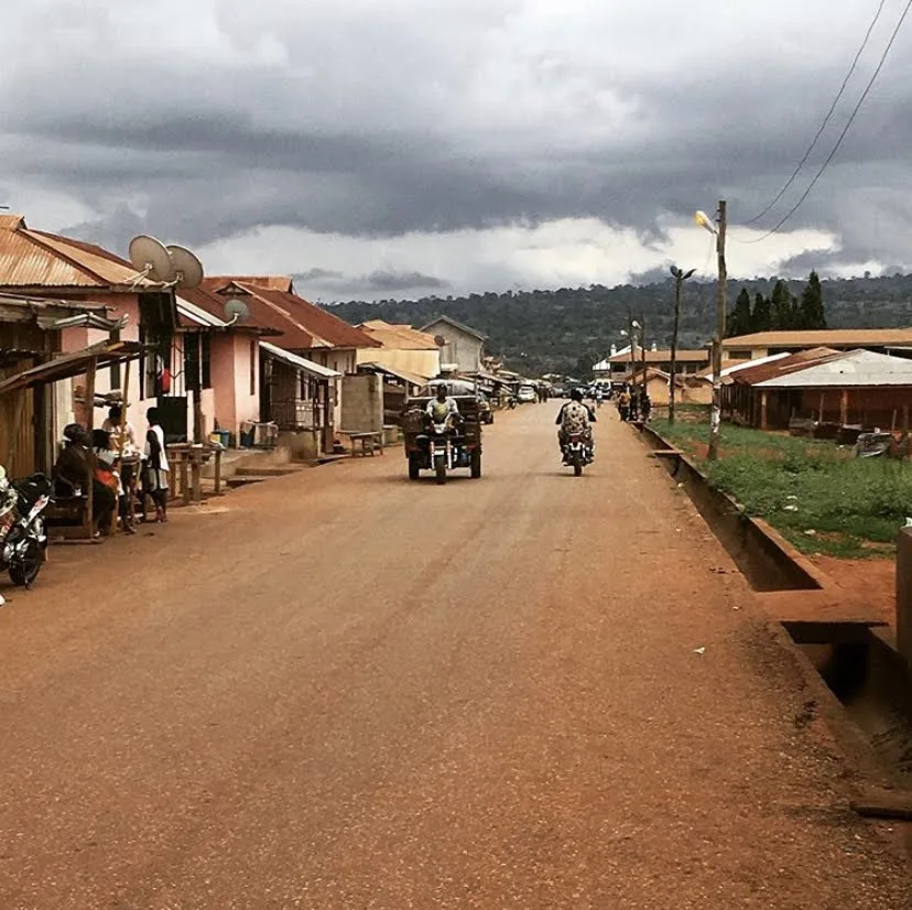
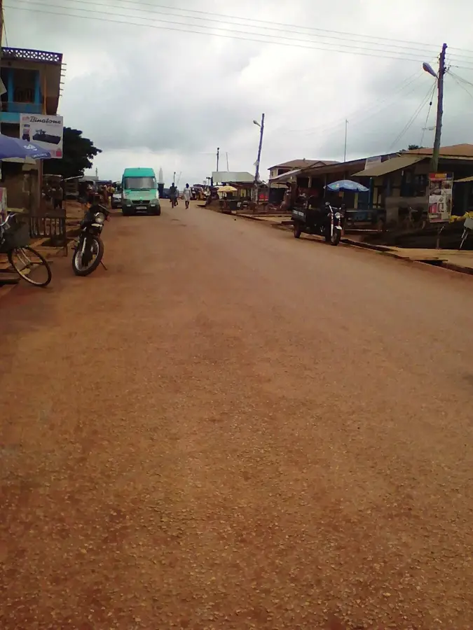
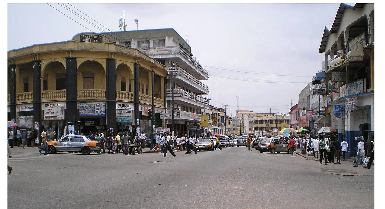
The Ashanti Uplands represent a geographically and economically vital region in southern Ghana, situated just south of the Kwahu Plateau. This hilly landscape is characterized by rolling elevations and deep valleys dissected by numerous rivers, including the Pra, Ofin, and Anum. Geologically, the uplands are composed of the ancient Birimian and Tarkwaian rock systems, which are world-renowned for their vast deposits of gold and bauxite. The region serves as the historical heartland of the Asante Empire, whose wealth and power were built upon the control of these mineral resources and the fertile surrounding lands. Originally covered in moist semi-deciduous tropical forest, much of the area has been converted into cocoa farms, Ghana being a top global cocoa producer, with the Ashanti Uplands serving as its primary cultivation hub. The terrain encourages high rainfall patterns that sustain the local agriculture. Beyond mining and farming, the uplands host significant cultural landmarks and traditional buildings that showcase the rich architectural heritage of the Asante people. Kumasi, the region's capital, is strategically positioned within this productive highland landscape.
- Location: Ghana
- Top sights: Odeefuo Owusu Amoaye I Palace · Atia Kusia Kwame Shrine
- Nearby: Tafo (13 km)
Best time to visit & climate
The most pleasant time to visit is Jan, Aug, Dec.
| Jan | Feb | Mar | Apr | May | Jun | Jul | Aug | Sep | Oct | Nov | Dec | |
|---|---|---|---|---|---|---|---|---|---|---|---|---|
| Avg °C | 26 | 28 | 27 | 27 | 26 | 25 | 24 | 24 | 25 | 25 | 26 | 26 |
| Rain mm | 18 | 48 | 110 | 118 | 163 | 212 | 143 | 83 | 173 | 216 | 87 | 20 |
📋 Practical info
Geography
Facts
- The region is home to the world-famous Obuasi gold mine.
- The average elevation of the uplands ranges from 150 to 300 meters.
- The Ashanti Uplands are the most important cocoa-growing region in Ghana.
- Geologically, the area dates back over 2 billion years (Birimian system).
- Lake Bosumtwi, a natural meteorite crater lake, is located in these uplands.
- Annual rainfall in the region often exceeds 1,500 millimeters.
Explore nearby
Notable places around
Route planner — Car & Motorhome
Where do you start? We build the route here, with stops and country notes along the way.
© OpenStreetMap contributors · OpenRouteService
Sights in the town Ashanti Uplands (2)
Sights nearby
Frequently asked questions
What characterizes the Ashanti Uplands?
What is the climate like in the uplands?
What can you visit there?
What mineral resources are there?
When is the best time to travel?
Ashanti Uplands: where is it located?
Ashanti Uplands: what is there to see?
Ashanti Uplands: when is the best time to visit?
Ashanti Uplands: why is it worth visiting?

Nearby cities


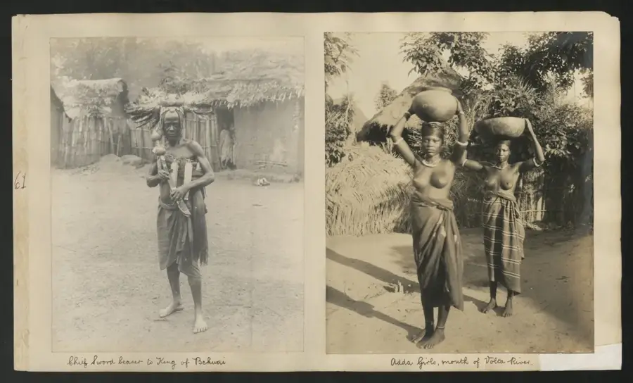

History & landmarks

More places