Plizio Visual Lab
Kuntaur Highlands
Weather…
Water temperature…
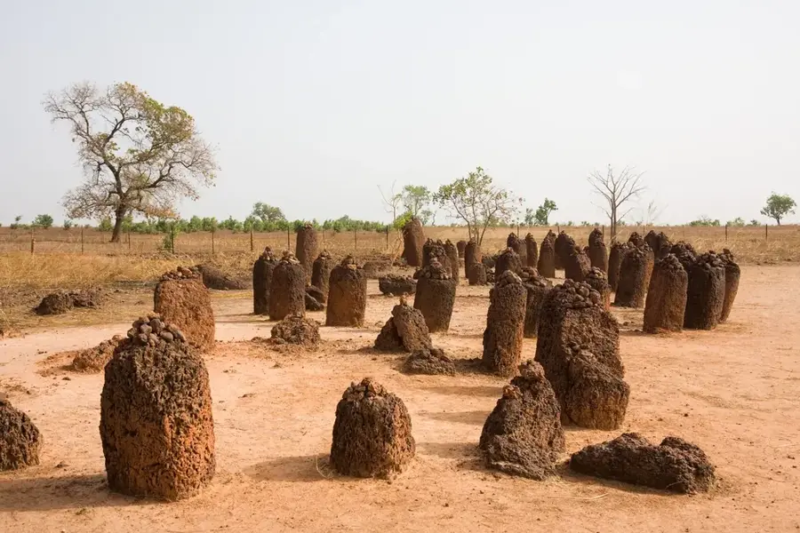
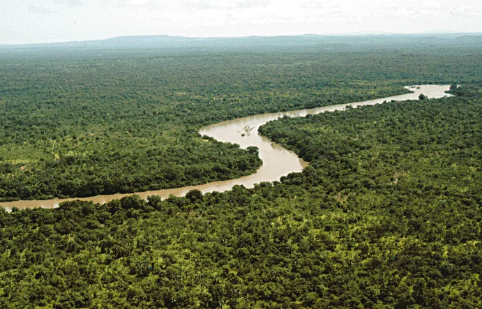
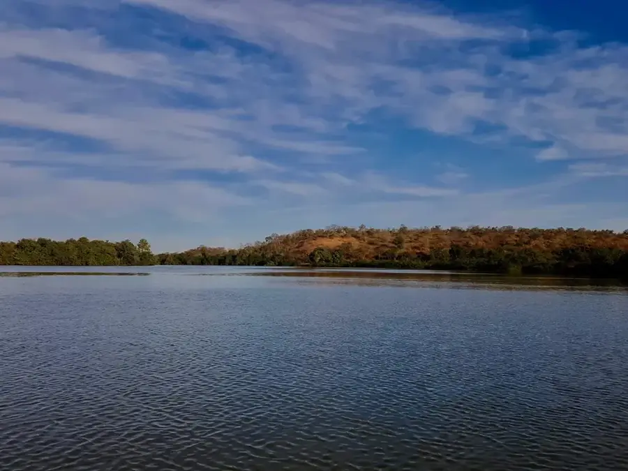
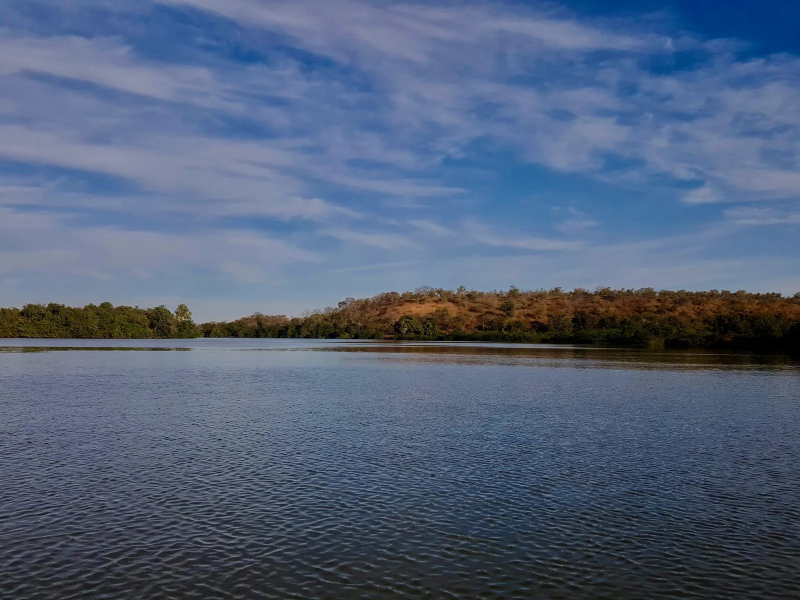
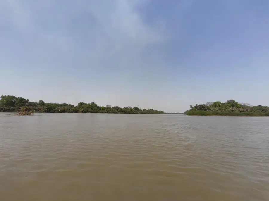
The Kuntaur Highlands are located in the Central River Division of The Gambia and represent one of the country's most prominent elevations. Geologically, they consist of a series of hills formed by the erosion of a massive laterite plateau. These formations rise above the surrounding alluvial plains of the Gambia River, providing strategic viewpoints. The vegetation is dominated by hardy grasses and acacias adapted to the tough, ferruginous surfaces. Historically, the ridges served as landmarks for river trade and navigation. The region is also noted for its proximity to the Wassu Stone Circles, indicating long-term human habitation in the area. In modern times, the highlands are utilized for cultivating groundnuts and millet in the more fertile depressions, while the exposed ridges remain largely untouched by agriculture.
- Location: Gambia
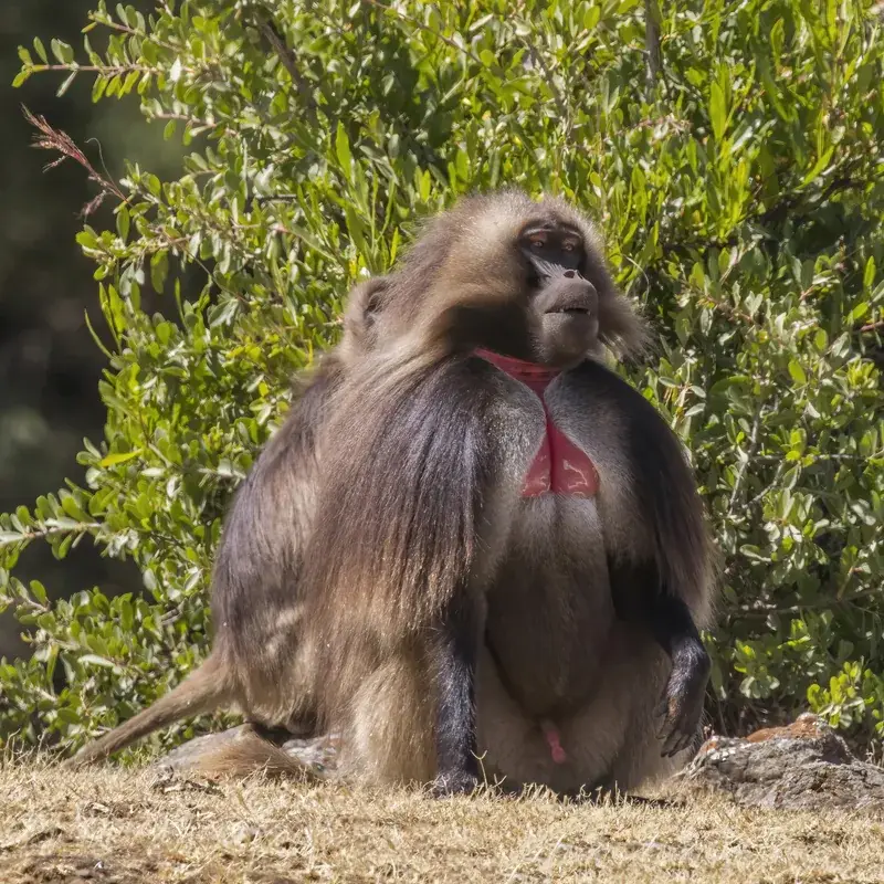
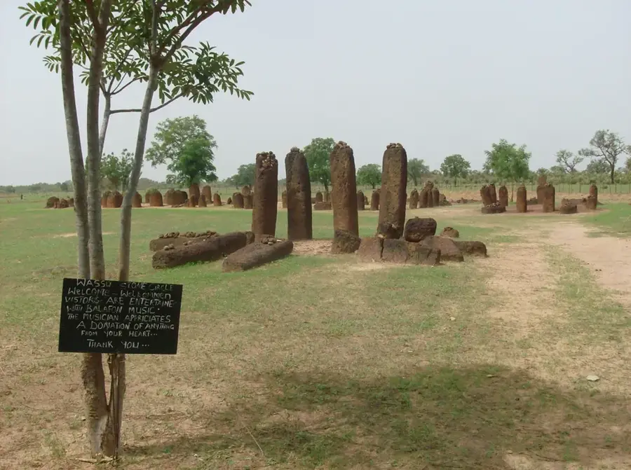
- Top sights: Embarquement Chimpanzees & Hippos · Wassu Stone Circles Museum · Wassu Stone Circles
- Nearby: River Gambia National Park (Baboon Islands) (8 km)
Best time to visit & climate
The most pleasant time to visit is Jan, Nov, Dec.
| Jan | Feb | Mar | Apr | May | Jun | Jul | Aug | Sep | Oct | Nov | Dec | |
|---|---|---|---|---|---|---|---|---|---|---|---|---|
| Avg °C | 25 | 27 | 30 | 32 | 33 | 31 | 28 | 27 | 27 | 27 | 26 | 25 |
| Rain mm | 1 | 0 | 1 | 0 | 7 | 88 | 191 | 298 | 214 | 65 | 4 | 0 |
📋 Practical info
Geography
Facts
- Maximum elevation of approximately 50 meters above sea level.
- Composed of Pliocene laterite and ironstone.
- Located about 250 km upriver from the capital, Banjul.
- Kuntaur town serves as a major groundnut trading hub nearby.
- Proximity to the River Gambia National Park's islands.
- Average annual temperature remains around 29°C.
Explore nearby
Notable places around
Route planner — Car & Motorhome
Where do you start? We build the route here, with stops and country notes along the way.
© OpenStreetMap contributors · OpenRouteService
Sights in the town Kuntaur Highlands (3)
Sights nearby
Frequently asked questions
Where are the Kuntaur Highlands located?
How high are these 'Highlands'?
What can you do there?
Are there attractions nearby?
Is the terrain difficult to walk?
Kuntaur Highlands: where is it located?
Kuntaur Highlands: what is there to see?
Kuntaur Highlands: when is the best time to visit?
Kuntaur Highlands: why is it worth visiting?

Nearby cities


History & landmarks

More places