Plizio Visual Lab
Montagne Plomb
Weather…
Water temperature…
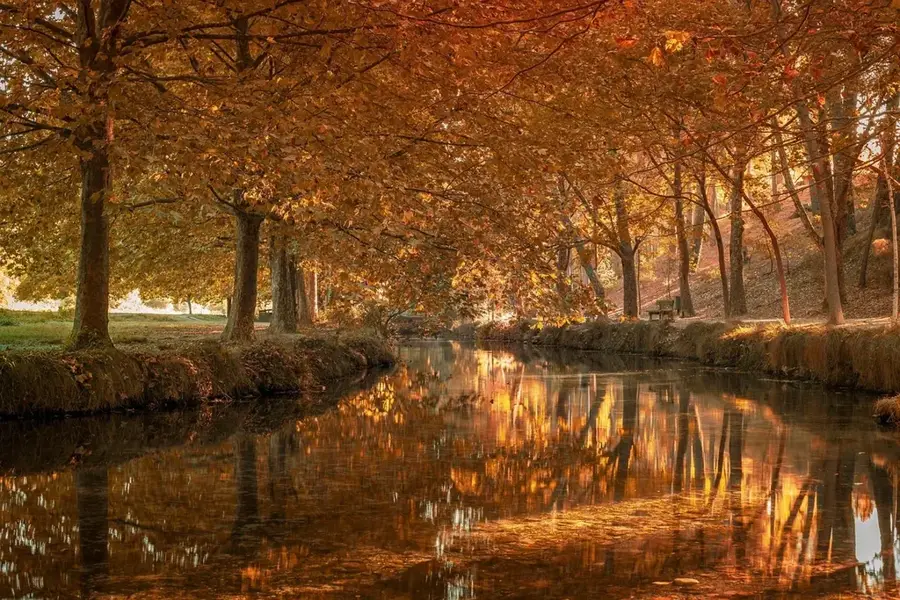
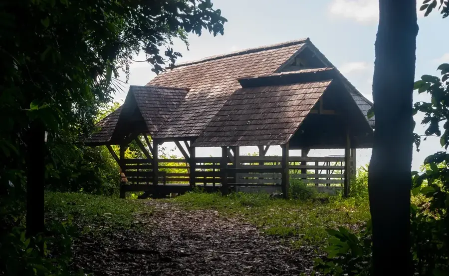
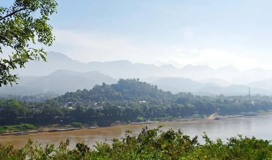
Montagne Plomb is a prominent relief feature located in northern French Guiana, near the coastal commune of Sinnamary. Standing at a moderate elevation of approximately 334 meters above sea level, it is part of the hilly terrain that marks the transition between the coastal plains and the inland mountains. The mountain's name, meaning Lead Mountain, originates from historical reports of lead and mineral deposits that piqued the interest of early European settlers. Today, Montagne Plomb is almost entirely covered by dense tropical rainforest, hosting a rich variety of local flora and fauna. The area is noted for its ecological significance, serving as a sanctuary for many animal species displaced from more developed coastal zones. Hiking trails and specialized excursions allow visitors to experience the unique vegetation and views over the surrounding jungle landscape. The modern importance of the site lies in biodiversity conservation and the promotion of nature tourism in the Sinnamary region.
Best time to visit & climate
The most pleasant time to visit is Aug–Oct.
| Jan | Feb | Mar | Apr | May | Jun | Jul | Aug | Sep | Oct | Nov | Dec | |
|---|---|---|---|---|---|---|---|---|---|---|---|---|
| Avg °C | 25 | 25 | 25 | 25 | 25 | 25 | 25 | 25 | 26 | 27 | 27 | 25 |
| Rain mm | 268 | 240 | 229 | 343 | 469 | 322 | 214 | 113 | 56 | 61 | 110 | 282 |
📋 Practical info
Geography
Facts
- Reaches an elevation of 334 meters.
- Located near the coastal commune of Sinnamary.
- Name refers to historical lead and mineral findings.
- Acts as a transition zone between the coast and the interior.
- Home to a high density of bromeliads and orchids.
- Used as a site for long-term ecological studies.
Explore nearby
Notable places around
Route planner — Car & Motorhome
Where do you start? We build the route here, with stops and country notes along the way.
© OpenStreetMap contributors · OpenRouteService
Sights nearby
Frequently asked questions
Why is the mountain called Montagne Plomb?
How high is Montagne Plomb?
Are there mining activities there?
What is the best time for hikers to visit?
Are there dangerous animals?
History & landmarks
Nature
More places