Plizio Visual Lab
Mount Tut

Weather…
Water temperature…
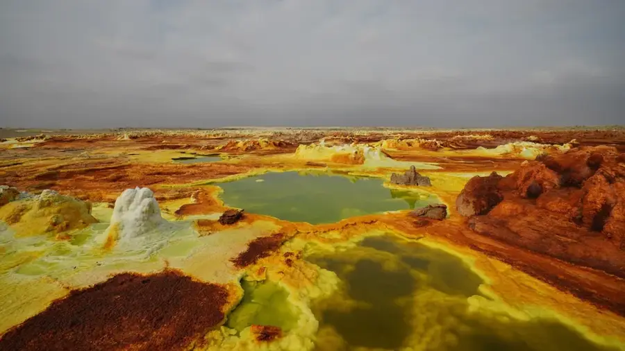
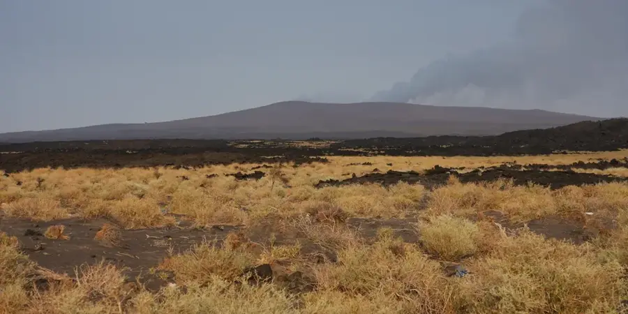
Mount Tut is a volcanic peak located in the Afar region of northeastern Ethiopia, situated within the dynamic tectonic landscape of the Afar Depression. The geography around the mountain is dominated by expansive basaltic lava fields, salt flats, and smaller volcanic cones, reflecting the ongoing crustal stretching in the region. The climate is one of the harshest on Earth, with average temperatures often exceeding 35 degrees Celsius and extremely limited rainfall throughout the year. Historically, the Afar people have traversed this inhospitable region with their livestock, navigating the ancient salt trade routes that have existed for centuries. The area near Mount Tut is also significant for its proximity to the Tendaho geothermal area and the lower reaches of the Awash River. Today, the mountain is a focal point for international geological research due to its location in a region where a new ocean basin is slowly being formed by immense tectonic forces.
- Location: Ethiopia
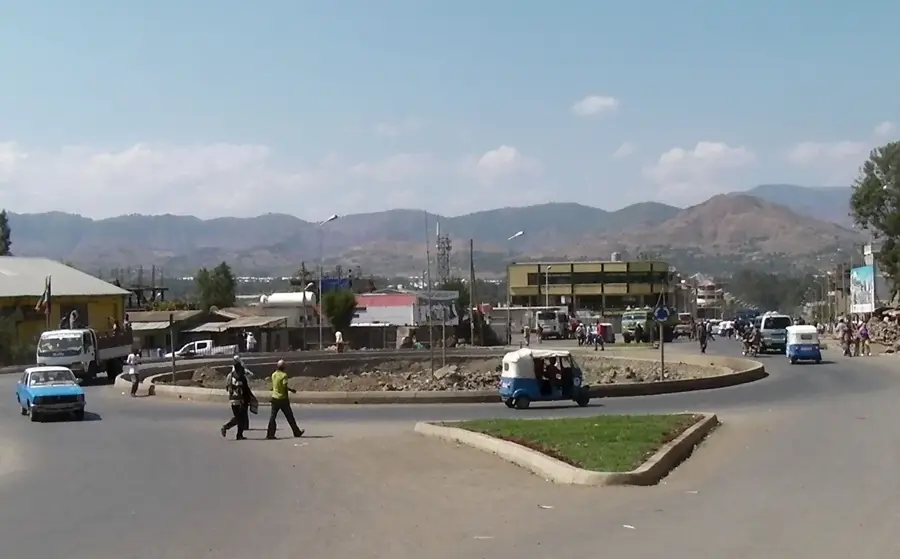
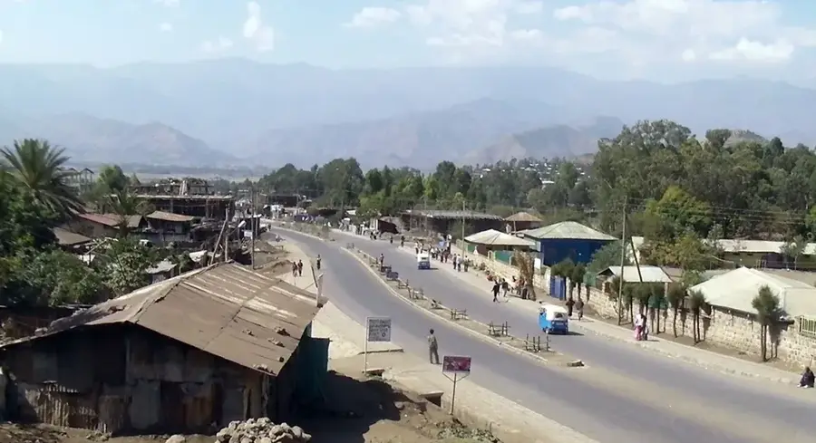
- Nearby: Weldiya (69 km)
Best time to visit & climate
The most pleasant time to visit is Jan, Nov, Dec.
| Jan | Feb | Mar | Apr | May | Jun | Jul | Aug | Sep | Oct | Nov | Dec | |
|---|---|---|---|---|---|---|---|---|---|---|---|---|
| Avg °C | 22 | 24 | 25 | 27 | 29 | 30 | 28 | 27 | 27 | 26 | 24 | 22 |
| Rain mm | 10 | 20 | 42 | 60 | 34 | 29 | 135 | 126 | 68 | 23 | 11 | 13 |
📋 Practical info
Geography
Facts
- Located in the Afar region of northeastern Ethiopia.
- Part of the geologically and tectonically active Afar Depression.
- Situated near the Tendaho geothermal and agricultural projects.
- The surrounding landscape is dominated by basaltic lava fields.
- Average year-round temperatures are among the highest globally.
- Located in the region where the African plate is actively splitting.
Explore nearby
Notable places around
Route planner — Car & Motorhome
Where do you start? We build the route here, with stops and country notes along the way.
© OpenStreetMap contributors · OpenRouteService
Sights nearby
Frequently asked questions
What makes Mount Tut special?
Is a permit required for Mount Tut?
How is the weather on Mount Tut?
Are there guided tours to the summit?
Is the trail to the summit marked?
Mount Tut: where is it located?
Mount Tut: when is the best time to visit?
Mount Tut: why is it worth visiting?

Nearby cities

Nature
More places