Plizio Visual Lab
Zula Bay Lowland

Weather…
Water temperature…
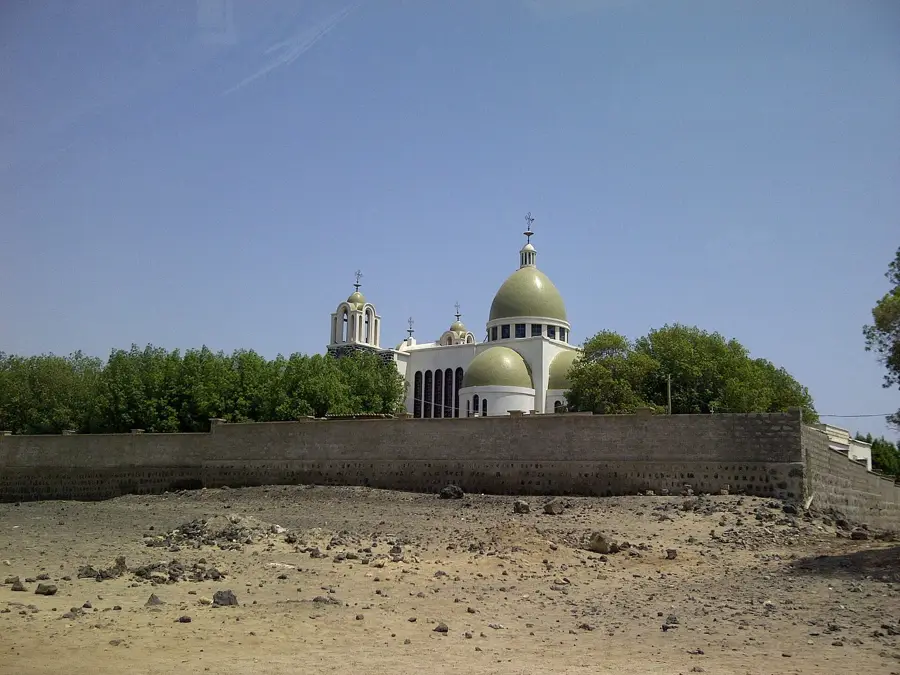
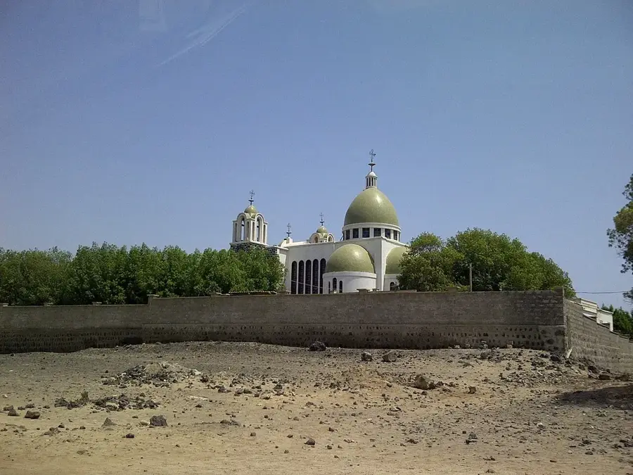
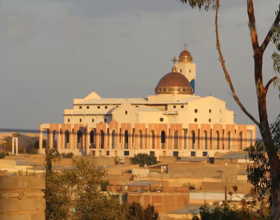
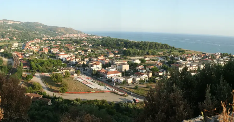
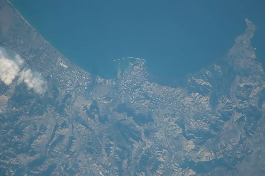
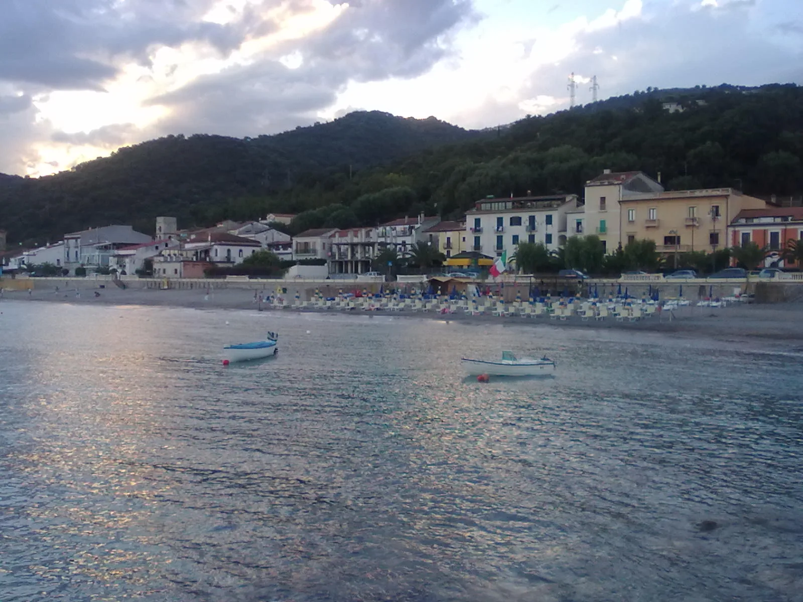
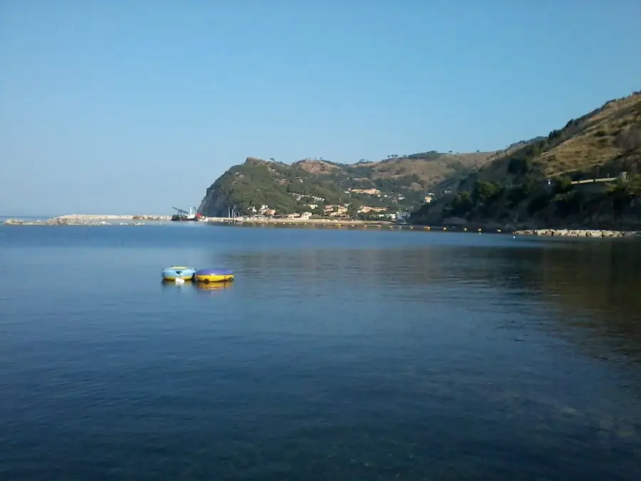
The Zula Bay lowland, historically known as Annesley Bay, is a geologically fascinating coastal plain on the Red Sea. The relief is characterized by flat salt pans, sandy coastal strips, and the estuaries of seasonal rivers from the highlands. Geomorphologically, the bay forms the northern termination of the Afar Rift, where tectonic forces have subsided the ground below sea level. The region is of great historical significance, as it houses the ruins of the ancient port city of Adulis, which was once a major center of the Aksumite Empire. In modern times, the bay served as a strategic landing point during the British expedition against Ethiopia in 1868. The surrounding landscape is barren and hot, yet it gives unique insights into the interaction between marine deposits and terrestrial erosion at the edge of an active rift valley.
- Location: Eritrea
- Nearby: Adi Keyh (42 km)
Best time to visit & climate
The most pleasant time to visit is Feb, Oct, Nov.
| Jan | Feb | Mar | Apr | May | Jun | Jul | Aug | Sep | Oct | Nov | Dec | |
|---|---|---|---|---|---|---|---|---|---|---|---|---|
| Avg °C | 19 | 21 | 22 | 24 | 26 | 26 | 25 | 24 | 24 | 22 | 21 | 19 |
| Rain mm | 12 | 15 | 15 | 39 | 20 | 14 | 65 | 78 | 23 | 12 | 12 | 13 |
📋 Practical info
Geography
Facts
- The bay extends approximately 40 kilometers deep into the mainland.
- The ancient city of Adulis is located about 4 kilometers from the coast.
- This is where the African and Arabian tectonic plates meet.
- The region was used as a base for 13,000 British soldiers in 1868.
- Mangrove forests are found in places along the shallow coastline.
- Volcanic activities are visible through nearby cinder cones.
Explore nearby
Notable places around
Route planner — Car & Motorhome
Where do you start? We build the route here, with stops and country notes along the way.
© OpenStreetMap contributors · OpenRouteService
Sights nearby
Frequently asked questions
Is Zula Bay known for tourism?
How can one get there?
When is the best season?
Is camping possible there?
Are there nearby ruins?
Zula Bay Lowland: where is it located?
Zula Bay Lowland: when is the best time to visit?
Zula Bay Lowland: why is it worth visiting?

Nearby cities

History & landmarks

More places