Plizio Visual Lab
Afer Plain
Weather…
Water temperature…
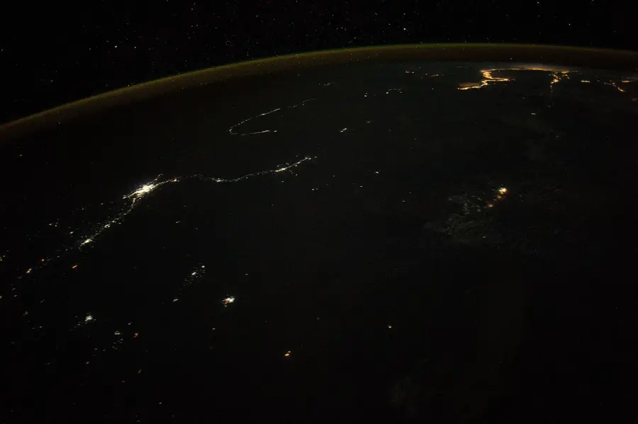
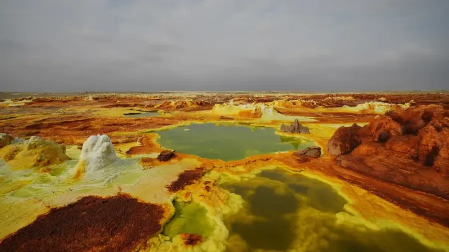
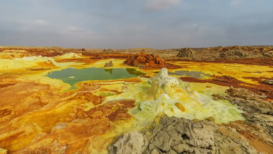
The Afer Plain is a prominent geographical feature in Eritrea's coastal region, stretching alongside the Red Sea. This semi-arid to arid lowland is characterized by volcanic deposits and saline soils, resulting from tectonic activities within the East African Rift System. Historically, the region served as a crucial trade corridor between the central highlands and ancient port cities, though extreme temperatures often exceeding 40 degrees Celsius limited permanent settlement. Geologically, the plain lies in a depression with parts situated below sea level, featuring sparse vegetation and extensive salt pans. In the modern era, the area is being surveyed for its potash mining potential and geothermal energy resources, highlighting its strategic economic importance for Eritrea's future development.
- Location: Eritrea
- Nearby: Dahlak Kebir (74 km)
Best time to visit & climate
The most pleasant time to visit is Jan, Feb, Dec.
| Jan | Feb | Mar | Apr | May | Jun | Jul | Aug | Sep | Oct | Nov | Dec | |
|---|---|---|---|---|---|---|---|---|---|---|---|---|
| Avg °C | 26 | 27 | 29 | 31 | 33 | 35 | 35 | 34 | 34 | 32 | 29 | 27 |
| Rain mm | 17 | 18 | 17 | 41 | 17 | 5 | 26 | 37 | 15 | 10 | 15 | 17 |
📋 Practical info
Geography
Facts
- The plain is part of the Danakil Depression, one of the hottest places on Earth.
- Some areas are situated as deep as 120 meters below sea level.
- Annual rainfall in the region is often less than 200 millimeters.
- Geologically, it belongs to the Afar Triangle tectonic junction.
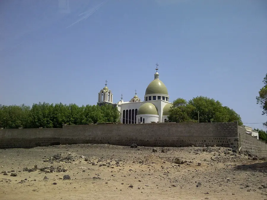
- Historical trade routes connected the highlands to the ancient port of Adulis here.
- Vegetation consists mainly of drought-resistant acacia trees and scrubland.
Explore nearby
Notable places around
Route planner — Car & Motorhome
Where do you start? We build the route here, with stops and country notes along the way.
© OpenStreetMap contributors · OpenRouteService
Sights nearby
Frequently asked questions
What is the Afer Plain?
When is the best time?
Is it safe?
What do you need?
For whom is it suitable?
Afer Plain: where is it located?
Afer Plain: when is the best time to visit?
Afer Plain: why is it worth visiting?

Nearby cities


History & landmarks
More places