Plizio Visual Lab
Aguarico River

Weather…
Water temperature…
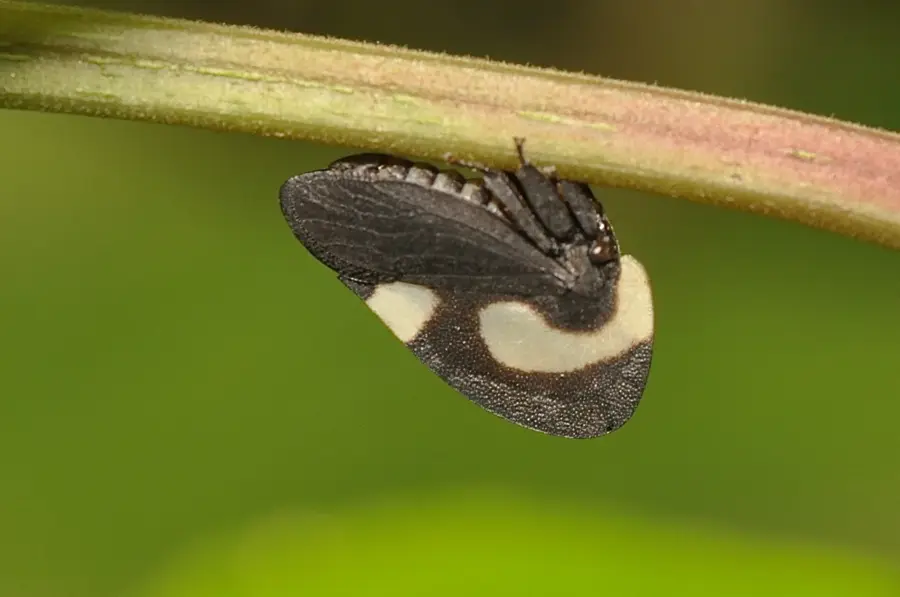
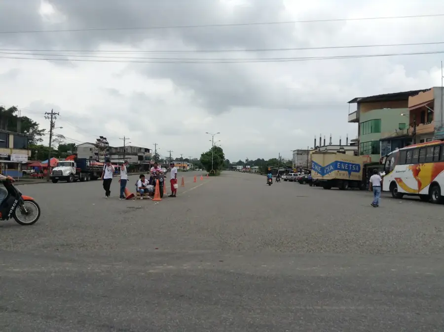
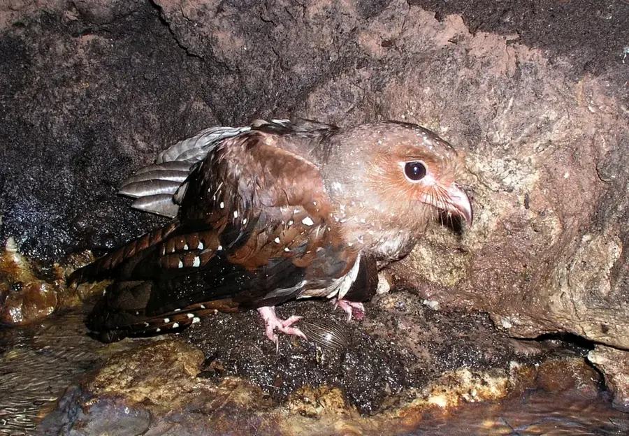
The Aguarico River is a prominent waterway in northeastern Ecuador, serving as a critical component of the Amazon Basin's ecological network. Originating in the Andes Mountains within the Sucumbíos Province, it flows southeast for approximately 390 kilometers before discharging into the Napo River near the Peruvian border. The river's basin is characterized by dense tropical rainforests that support exceptional biodiversity, including various endemic fish species and freshwater dolphins. Historically and culturally, the Aguarico is inseparable from the Siona and Secoya indigenous nations, who have inhabited its banks for centuries, relying on the river for transportation and sustenance. In recent decades, the region has gained international attention due to environmental challenges arising from petroleum extraction activities. Current conservation initiatives focus on mitigating pollution and protecting the delicate ecosystem while supporting the traditional livelihoods of the indigenous peoples.
Best time to visit & climate
The most pleasant time to visit is Jan, Aug, Sep.
| Jan | Feb | Mar | Apr | May | Jun | Jul | Aug | Sep | Oct | Nov | Dec | |
|---|---|---|---|---|---|---|---|---|---|---|---|---|
| Avg °C | 25 | 25 | 25 | 25 | 25 | 24 | 24 | 25 | 25 | 25 | 25 | 25 |
| Rain mm | 166 | 199 | 265 | 246 | 272 | 258 | 215 | 181 | 168 | 211 | 217 | 226 |
📋 Practical info
Geography
Facts
- The Aguarico River originates in the Andes and spans a total length of about 390 kilometers.
- In its lower reaches, the river forms part of the international border between Ecuador and Peru.
- The river merges with the larger Napo River near the town of Cabo Pantoja.
- Its drainage basin covers significant portions of the Cuyabeno Wildlife Reserve.
- The Siona and Secoya indigenous groups have used the river as a primary highway for generations.
- Scientists have documented over 500 distinct fish species inhabiting the river's waters.
Explore nearby
Notable places around
Route planner — Car & Motorhome
Where do you start? We build the route here, with stops and country notes along the way.
© OpenStreetMap contributors · OpenRouteService
Sights nearby
Frequently asked questions
In which region is the Aguarico located?
Can you visit indigenous communities?
Is the river part of a national park?
Are there eco-lodges there?
Can you see pink dolphins there?
Aguarico River: where is it located?
Aguarico River: when is the best time to visit?
Aguarico River: why is it worth visiting?

Nearby cities
More places