Plizio Visual Lab
Cordillera de Kutukú
Weather…
Water temperature…
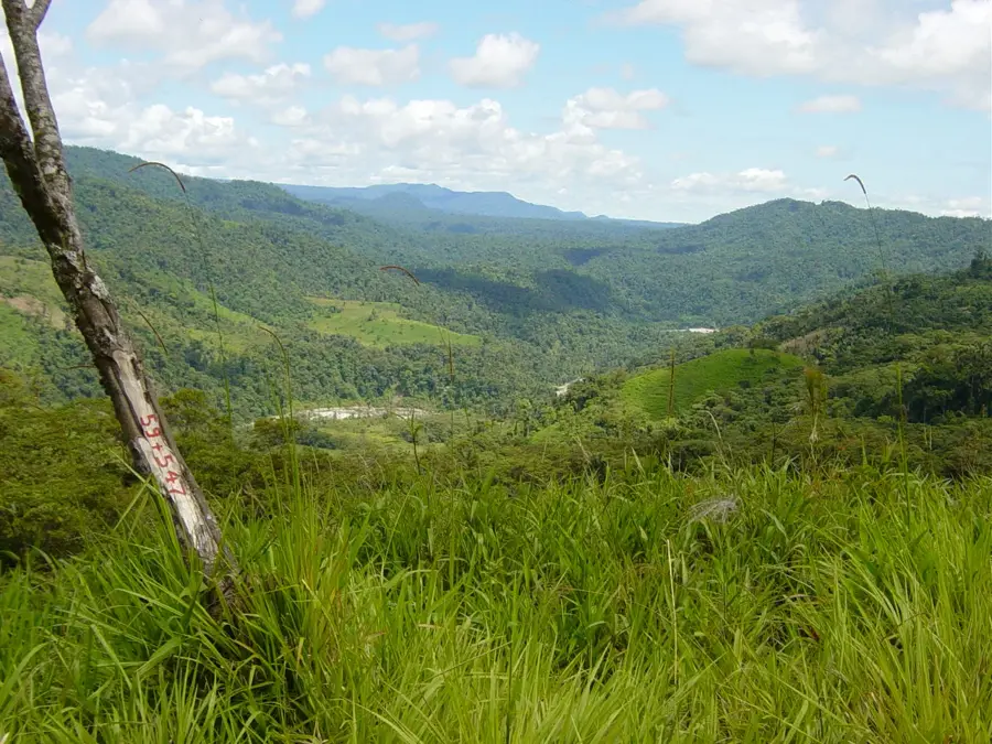
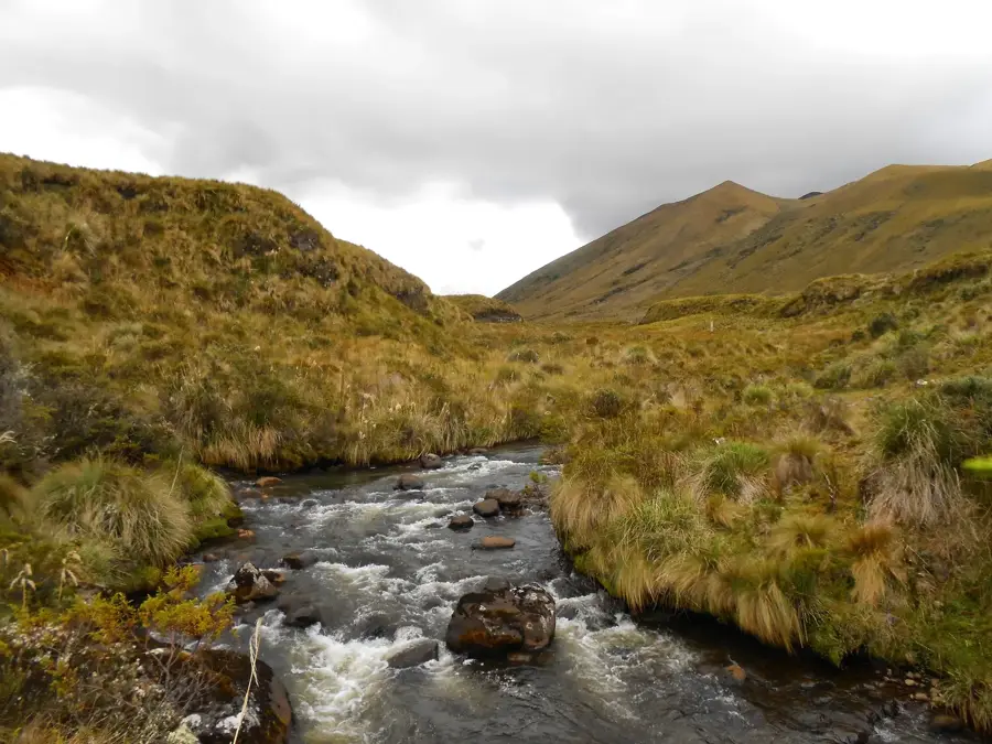
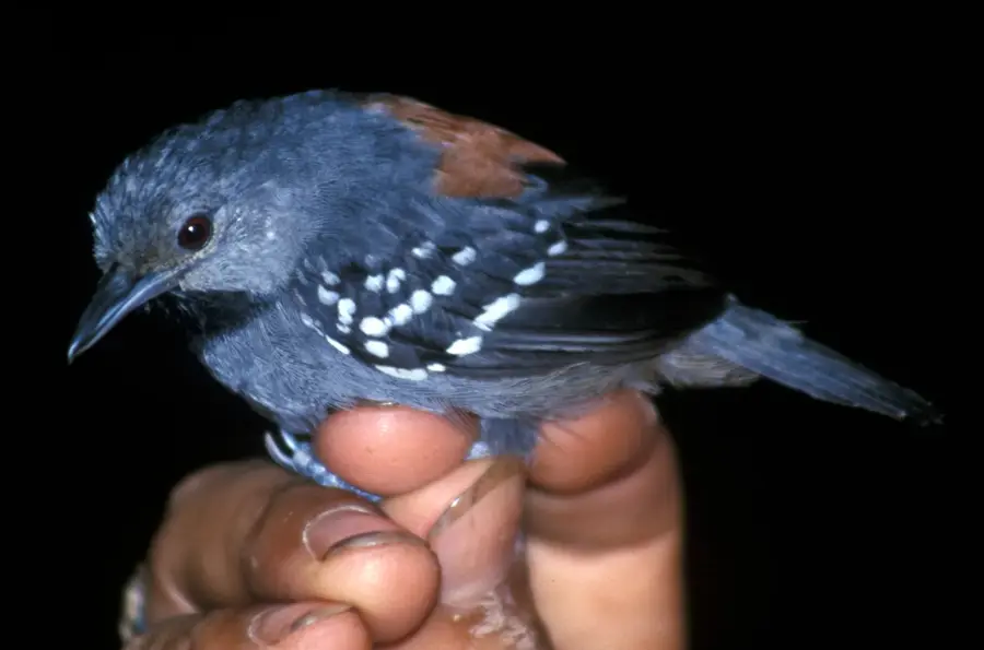
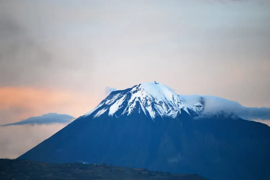
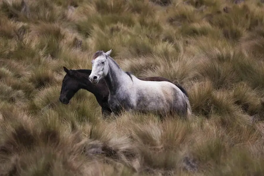
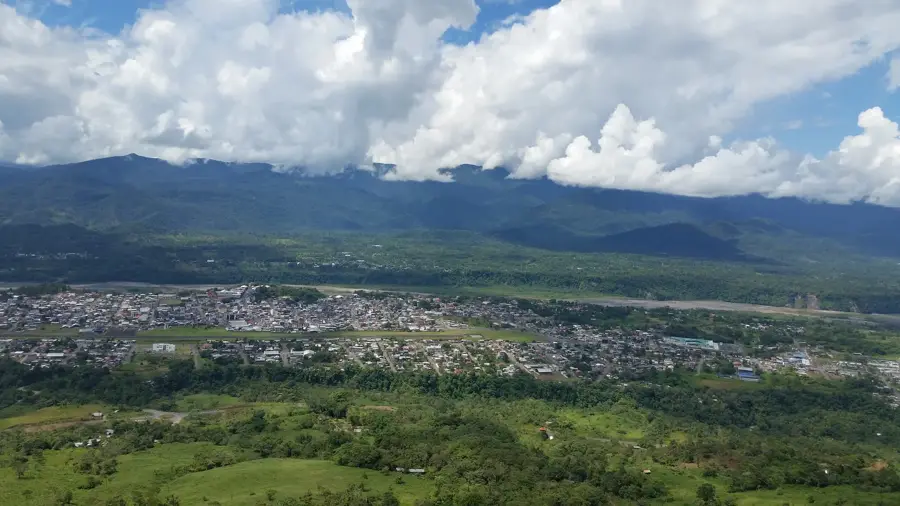
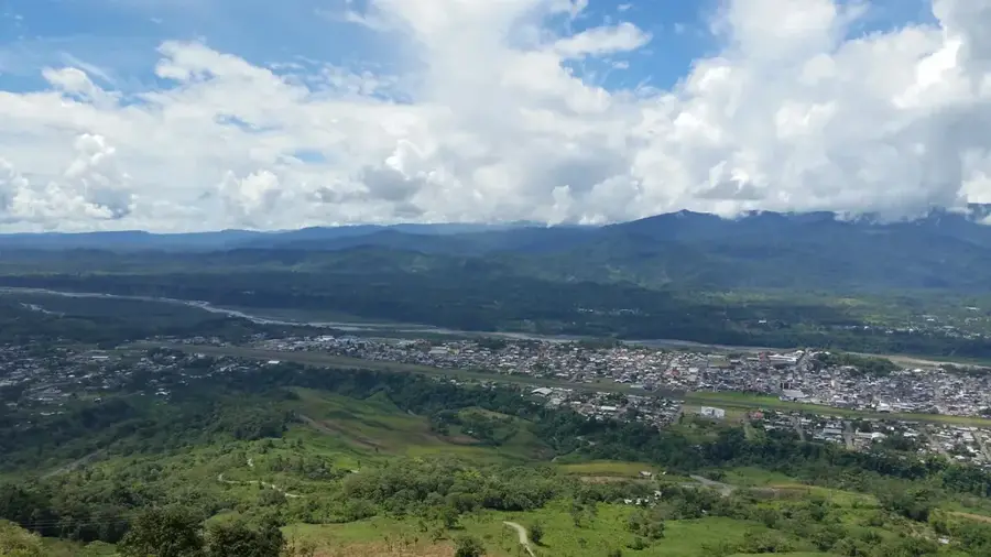
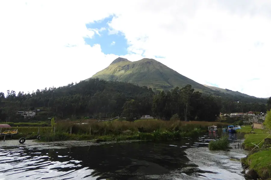
The Cordillera de Kutukú is a sub-Andean mountain range located in southeastern Ecuador, within the Morona Santiago province, situated between the Upano and Coangos rivers. Geologically, it forms part of the Andean foreland fold-and-thrust belt, reaching elevations of up to 2,480 meters above sea level. The area is almost entirely covered by tropical rainforest and hosts an extraordinary level of biodiversity, including numerous endemic bird species and rare orchids. This region is the ancestral territory of the Shuar indigenous people, who have managed the forest's resources sustainably for centuries. Due to its isolated location, the ecosystem has remained largely spared from large-scale deforestation, though it faces increasing pressure from mining interests. The Kutukú region serves as a critical biological corridor connecting the Amazon basin with the higher elevations of the Andes mountains.
- Location: Ecuador
- Nearby: Archidona (52 km)
Best time to visit & climate
The most pleasant time to visit is Jan, Aug, Sep.
| Jan | Feb | Mar | Apr | May | Jun | Jul | Aug | Sep | Oct | Nov | Dec | |
|---|---|---|---|---|---|---|---|---|---|---|---|---|
| Avg °C | 20 | 20 | 20 | 19 | 19 | 18 | 18 | 18 | 19 | 20 | 20 | 20 |
| Rain mm | 125 | 131 | 165 | 168 | 155 | 155 | 114 | 102 | 91 | 131 | 134 | 133 |
📋 Practical info
Geography
Facts
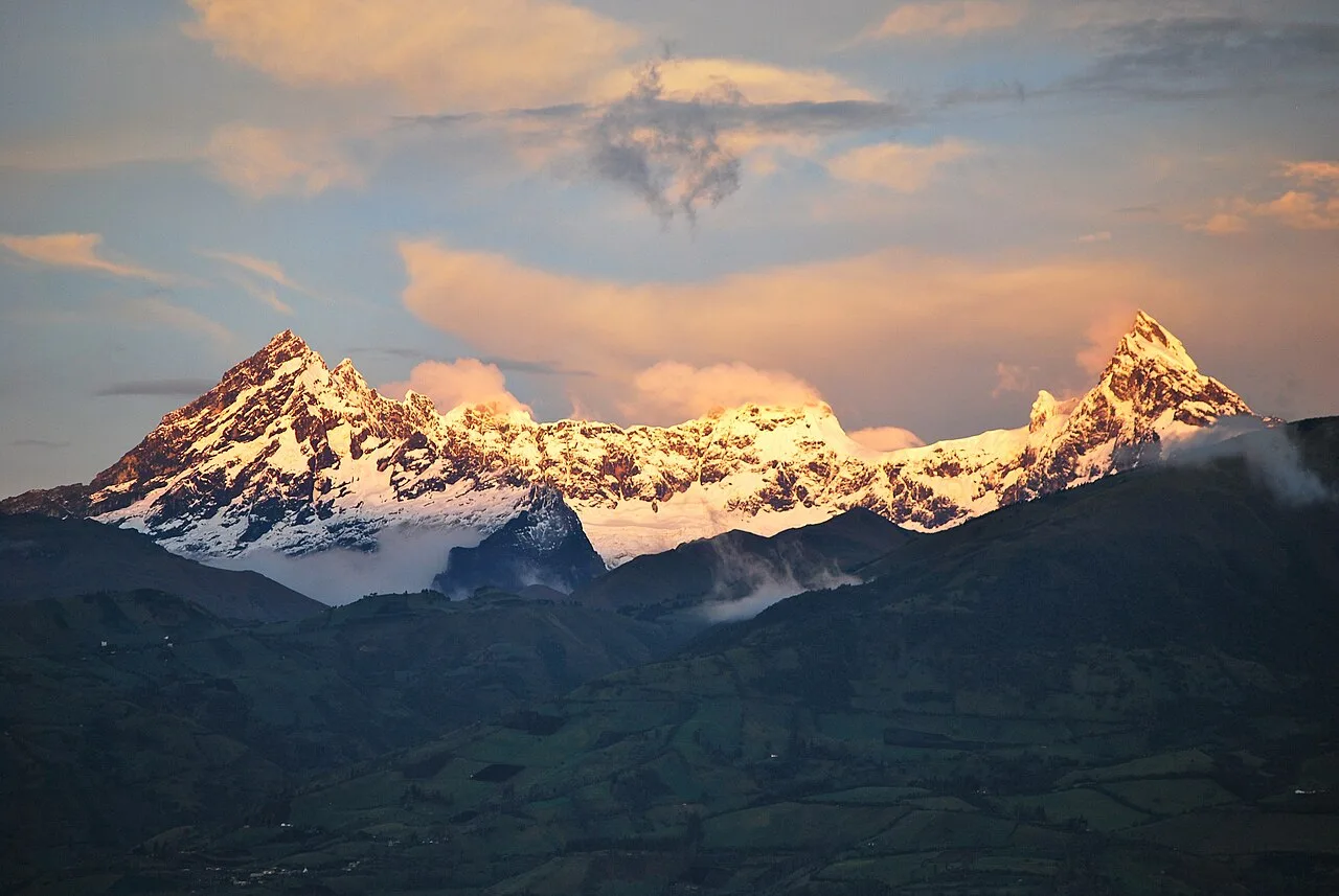
- The highest elevation in the range reaches approximately 2,480 meters.
- It covers an area of about 300,000 hectares in the Morona Santiago province.
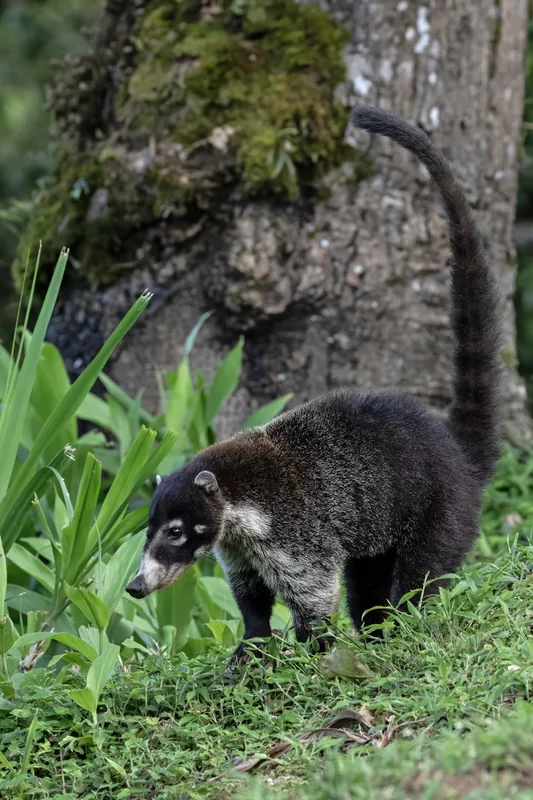
- The range is a significant center for endemic vertebrate species in Ecuador.
- Geologically, the range consists primarily of limestone and sandstone formations.
- The region receives between 3,000 and 4,000 mm of annual rainfall.
- It was declared the 'Kutukú-Shaimi' Protective Forest in 1990.
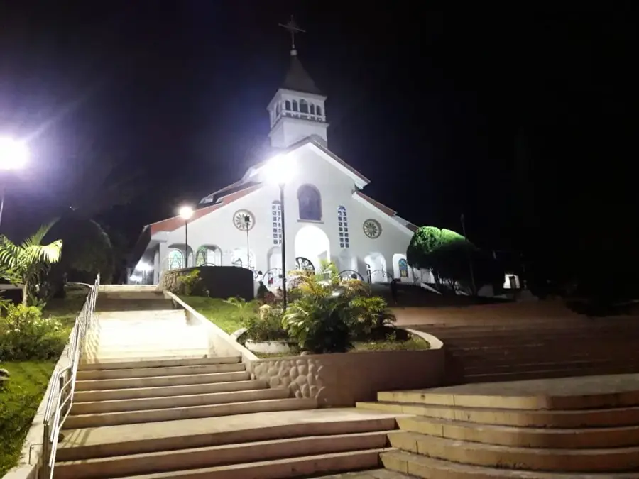
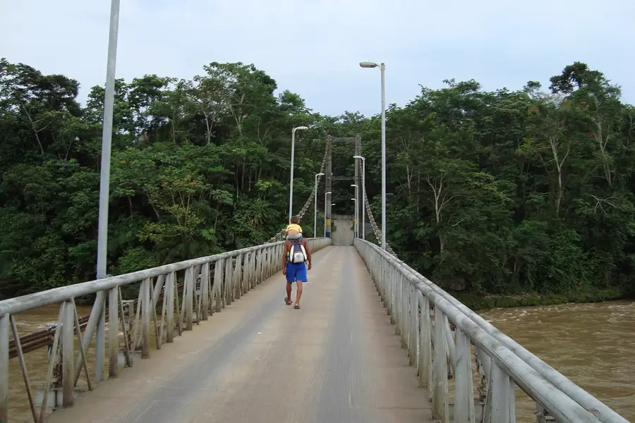
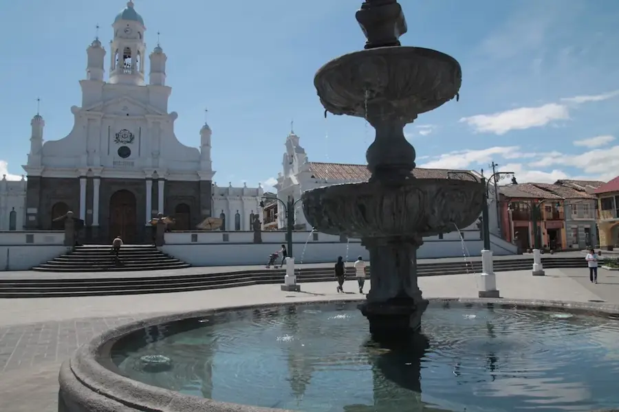
Explore nearby
Notable places around
Route planner — Car & Motorhome
Where do you start? We build the route here, with stops and country notes along the way.
© OpenStreetMap contributors · OpenRouteService
Sights nearby
Frequently asked questions
What is the Cordillera de Kutukú?
Who lives in this region?
Is the area protected?
What animals can be found there?
Can you visit the region?
Cordillera de Kutukú: where is it located?
Cordillera de Kutukú: when is the best time to visit?
Cordillera de Kutukú: why is it worth visiting?

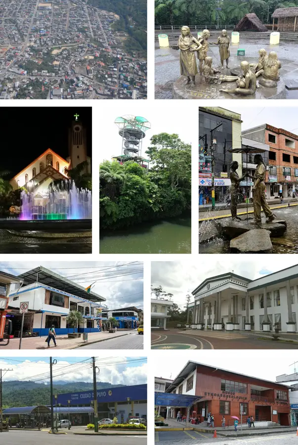
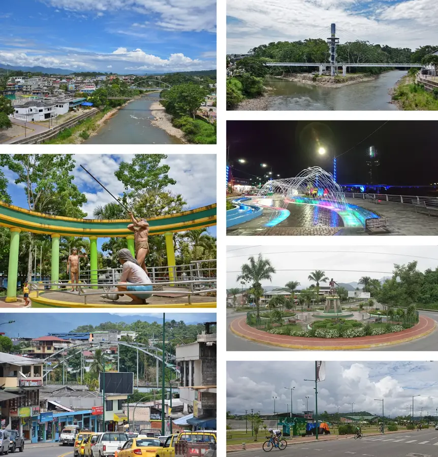
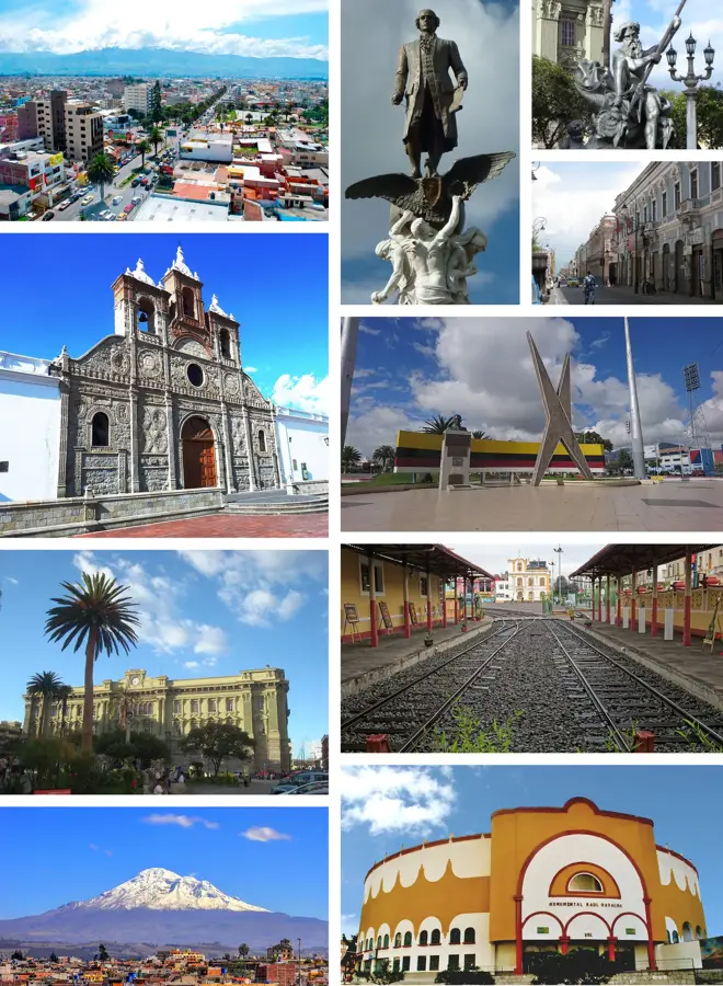
Nearby cities
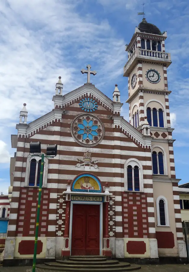
History & landmarks
Nature
More places