Plizio Visual Lab
Cojimíes

ℹ️Practical info — Cojimíes
▾
🌤 Weather — 5 days
📍 Nearby
Sights nearby
Water temperature…
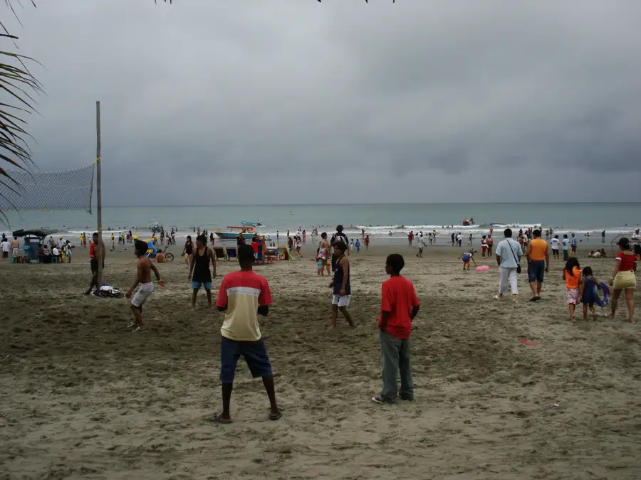
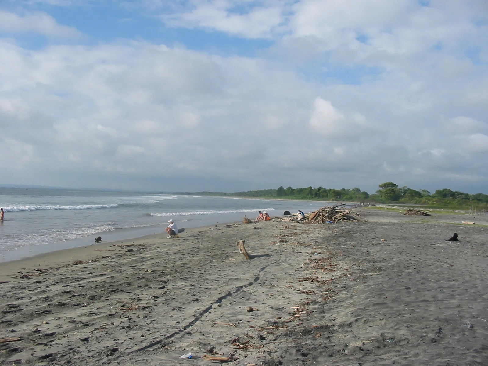
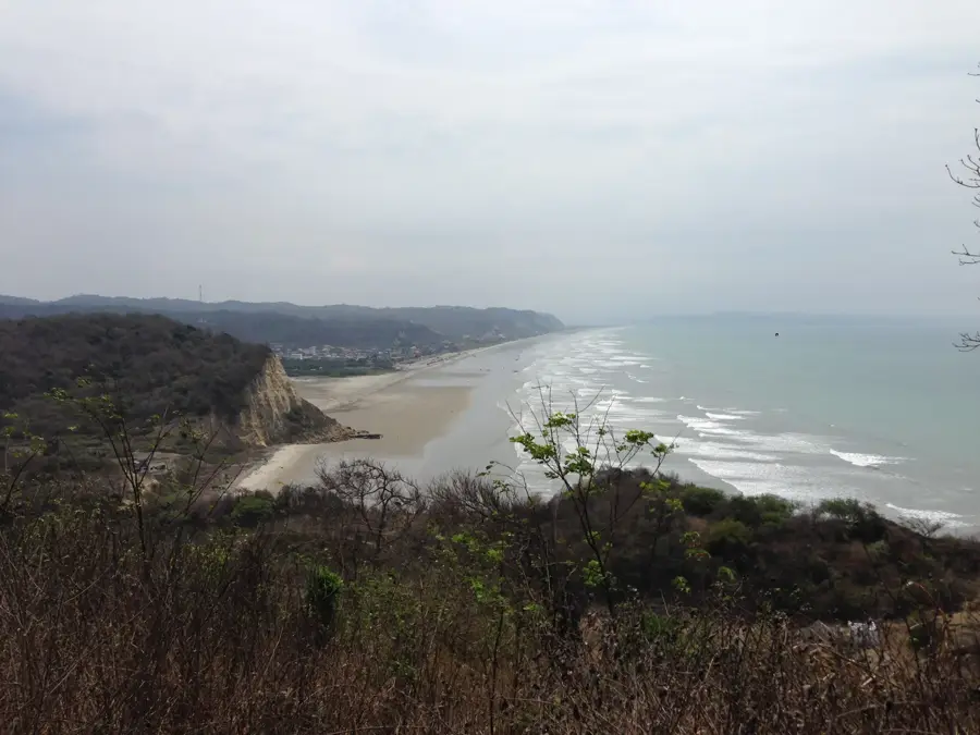
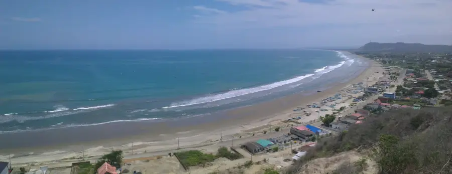
Cojimíes gives the ultimate retreat for travelers seeking deserted beaches and a relaxed coastal atmosphere away from the major tourist resorts. Set between the Pacific Ocean and the lush estuary of the Río Cojimíes, the town beckons with kilometers of palm-fringed sandy beaches. The warm, calm waters are convenient for swimming and well-suited for families. A major attraction is the easy on the eye boat trip to the 'Isla del Amor' in the estuary, where visitors can explore the fascinating mangrove ecology. The region is also a paradise for bird watchers. Culinary-wise, everything here revolves around fresh fish and seafood, especially the local shrimp and encocado dishes are a must. Cojimíes can be reached via Pedernales, from where a well-maintained road leads north. The best time for a beach holiday is the warm and sunny coastal season from December to April.
Explore on the map
How well do you know Ecuador?
Find cities, landscapes and regions in 10 varied challenges on the interactive map.
Your journey, your memory
A postcard from Cojimíes
Turn your own photo into a personal postcard with a local stamp. Free and no sign-up required.
Create a postcard- Location: Ecuador
- Nearby: Pedernales (24 km)
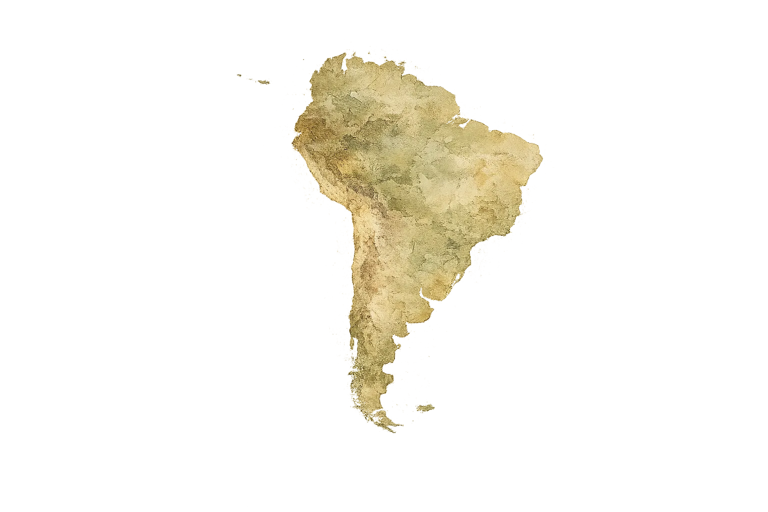
Geography
Facts
- Quiet fishing village in Manabí.
- Known for miles of palm-fringed beaches.
- Located at the mouth of the Río Cojimíes.
- Boat trips to the 'Isla del Amor'.
- Surrounded by extensive mangrove forests.
- Specializes in coconut fish dishes (Encocado).
- Important location for shrimp farming.
- Located north of Pedernales.
Explore nearby
Notable places around

Route planner — Car & Motorhome
Where do you start? We build the route here, with stops and country notes along the way.
© OpenStreetMap contributors · OpenRouteService
Sights in the town Cojimíes (1)
Frequently asked questions
Cojimíes: where is it located?
Cojimíes: why is it worth visiting?
Nearby cities






More places