Plizio Visual Lab
National Unity Bridge

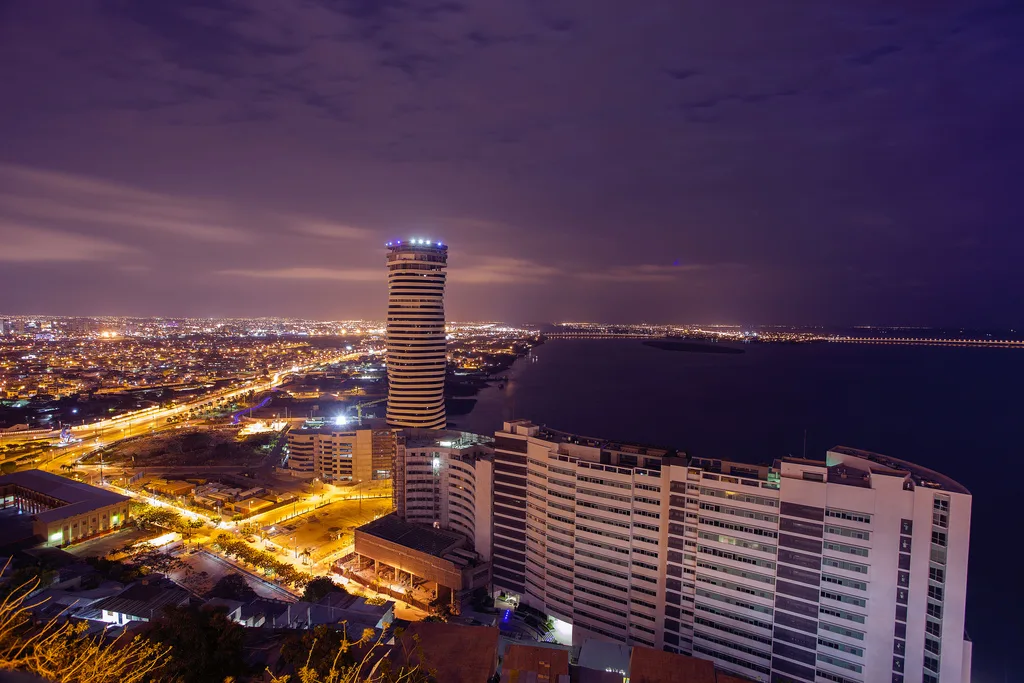
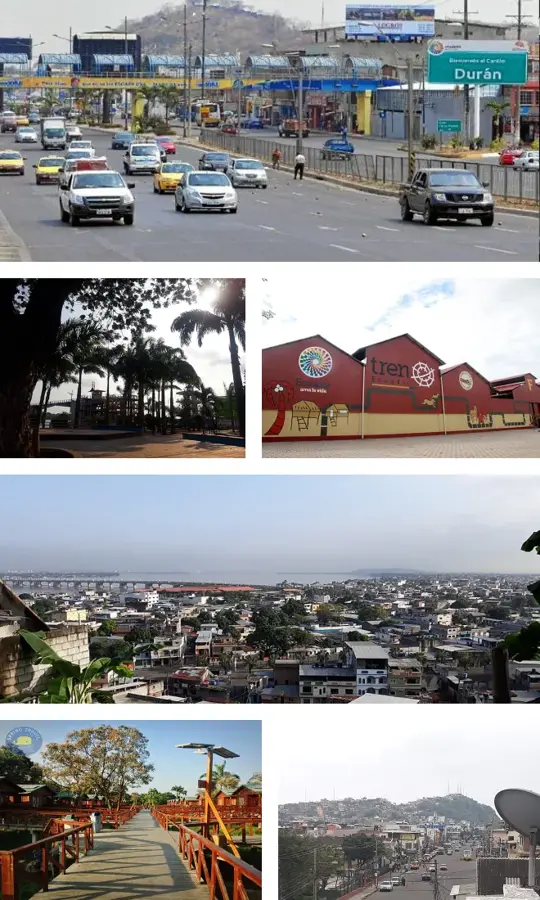
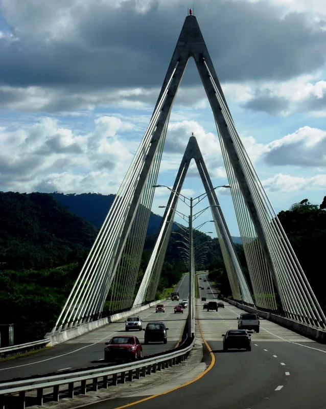
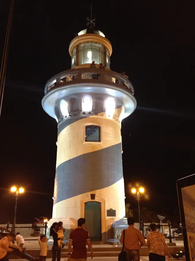
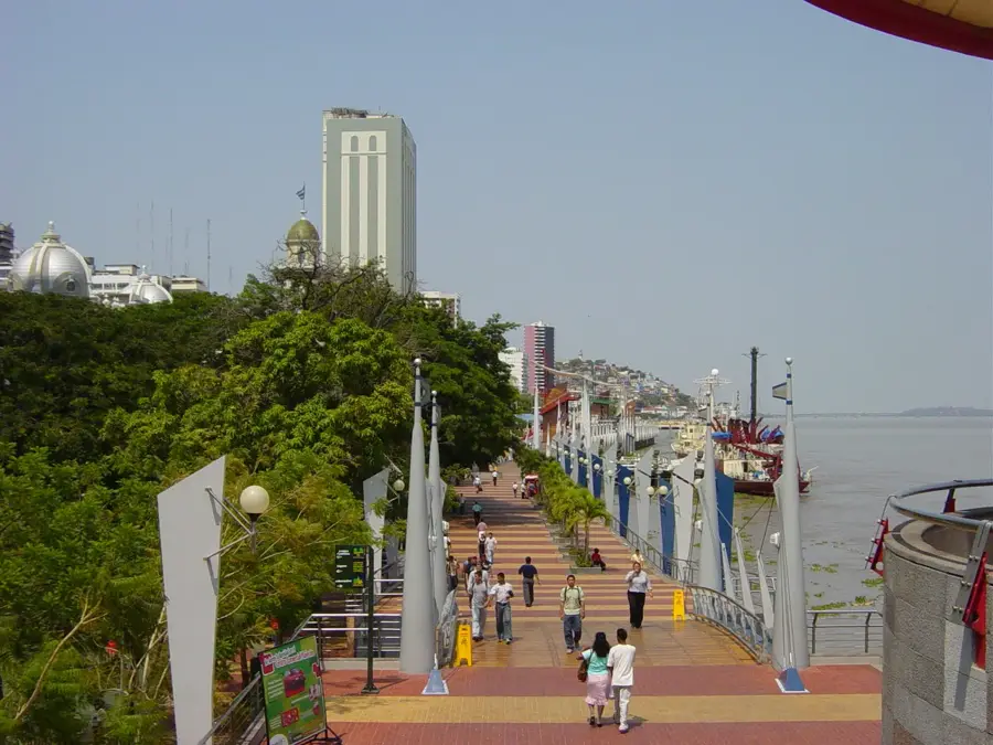
The National Unity Bridge (Puente de la Unidad Nacional) is a vital bridge complex connecting the city of Guayaquil with the neighboring cantons of Samborondón and Durán. It spans the mouths of the Daule and Babahoyo rivers, where they merge to form the mighty Guayas River. The original section of the bridge was inaugurated in 1970 and was considered an engineering masterpiece of its time, providing better access between the isolated coastal region and the country's interior. Today, the complex consists of several parallel bridges for different traffic directions to handle the enormous daily volume of over 60,000 vehicles. Stretching approximately 2,000 meters, it is one of the longest bridges in Ecuador. It plays a strategic role in the national economy by enabling the transport of goods between Guayaquil's major port and the agricultural hinterlands. At night, the illuminated structure provides an impressive sight over the broad rivers. The bridge symbolizes the progress and infrastructural transformation of the region over the past decades. It is more than just a roadway; it is a landmark of Ecuador's unity and modernization.
- Location: Ecuador
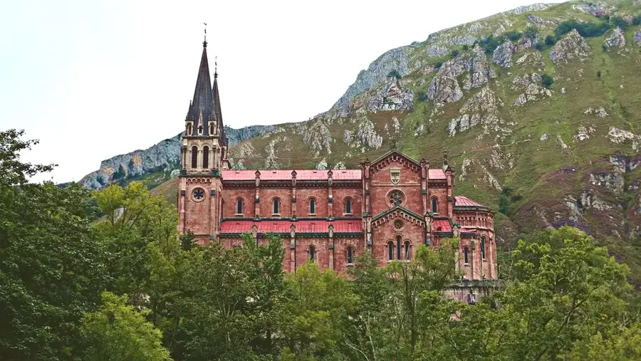
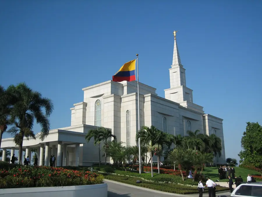
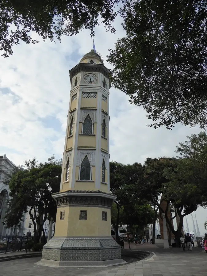
- Top sights: Monumento a los Niños Jugando · Las Garzas · Puente Rafael Mendoza Avilés
- Nearby: Daule (15 km)
Best time to visit & climate
The most pleasant time to visit is Sep–Nov.
| Jan | Feb | Mar | Apr | May | Jun | Jul | Aug | Sep | Oct | Nov | Dec | |
|---|---|---|---|---|---|---|---|---|---|---|---|---|
| Avg °C | 28 | 27 | 27 | 27 | 27 | 27 | 28 | 28 | 28 | 27 | 27 | 28 |
| Rain mm | 123 | 215 | 212 | 126 | 38 | 10 | 3 | 3 | 2 | 6 | 8 | 24 |
📋 Practical info
Geography
Facts
- Inauguration: October 9, 1970
- Total length: approx. 2,000 meters
- Connects Guayaquil, Samborondón, Durán
- Over 60,000 vehicles daily
- Spans Babahoyo and Daule rivers
- Most important coastal traffic artery
Explore nearby
Notable places around
Route planner — Car & Motorhome
Where do you start? We build the route here, with stops and country notes along the way.
© OpenStreetMap contributors · OpenRouteService
Sights in the town National Unity Bridge (8)
Sights nearby
Frequently asked questions
What does the bridge connect?
Which river does it cross?
Can you cross it on foot?
Are there tolls?
How long is the bridge?
National Unity Bridge: where is it located?
National Unity Bridge: what is there to see?
National Unity Bridge: when is the best time to visit?
National Unity Bridge: why is it worth visiting?

Nearby cities


History & landmarks
Nature

More places