Plizio Visual Lab
Kalundborg Bakke
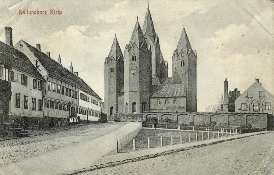
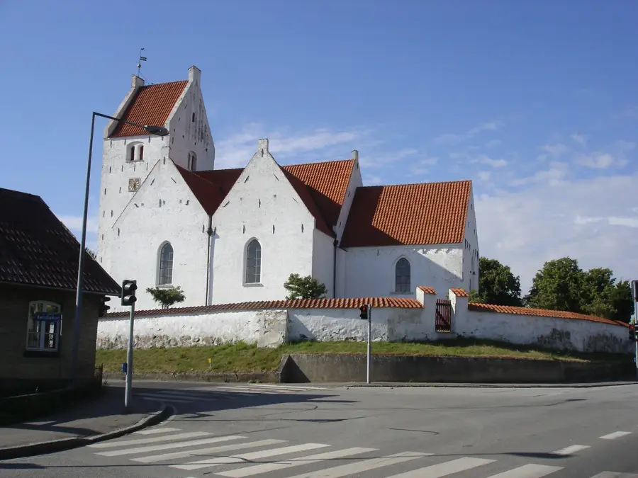
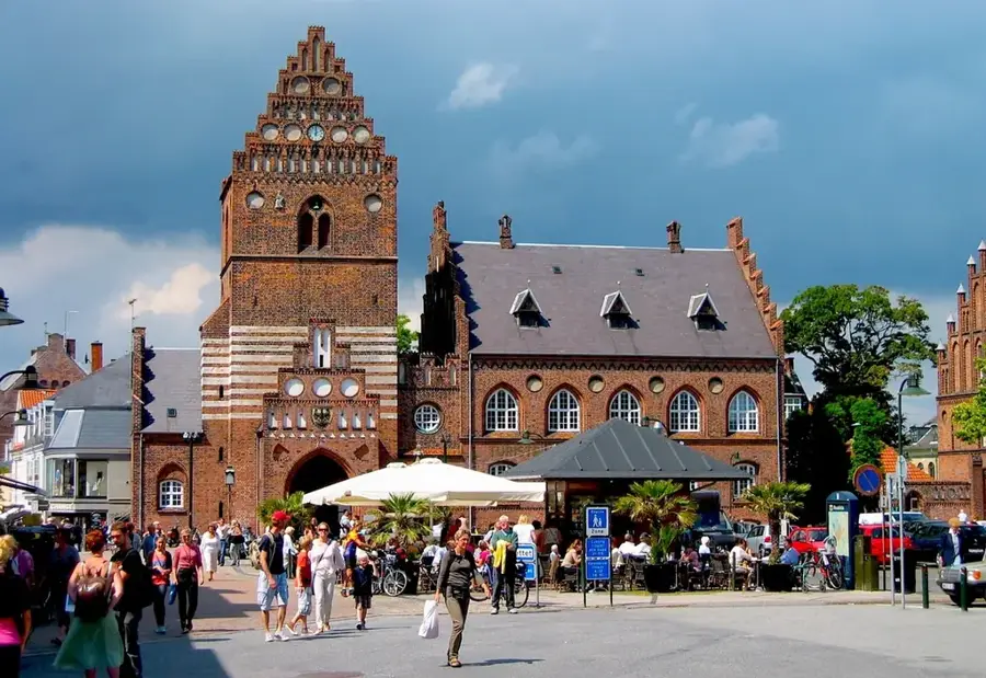
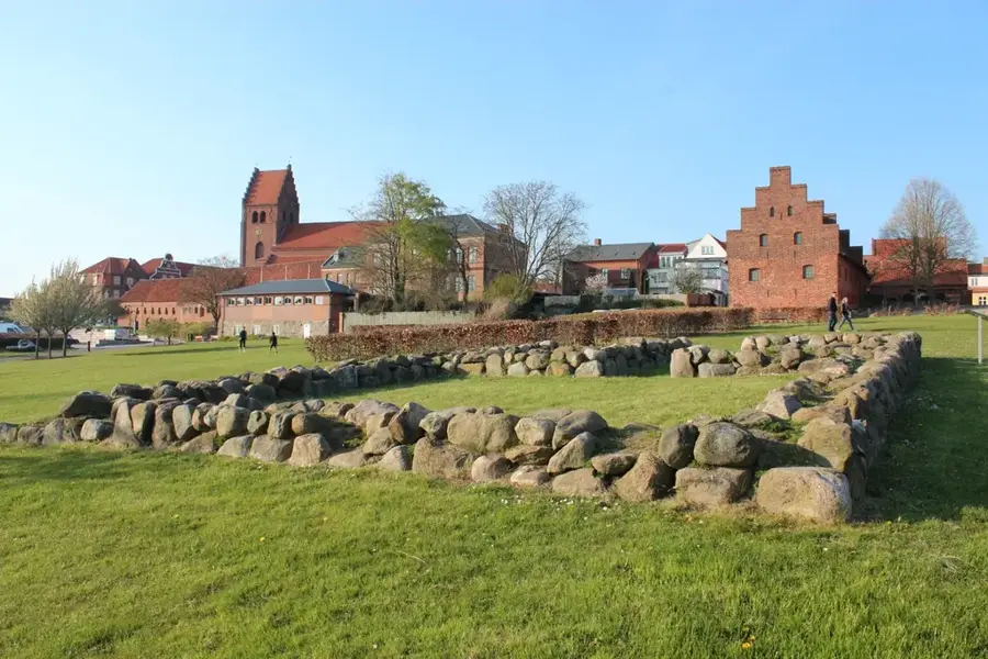
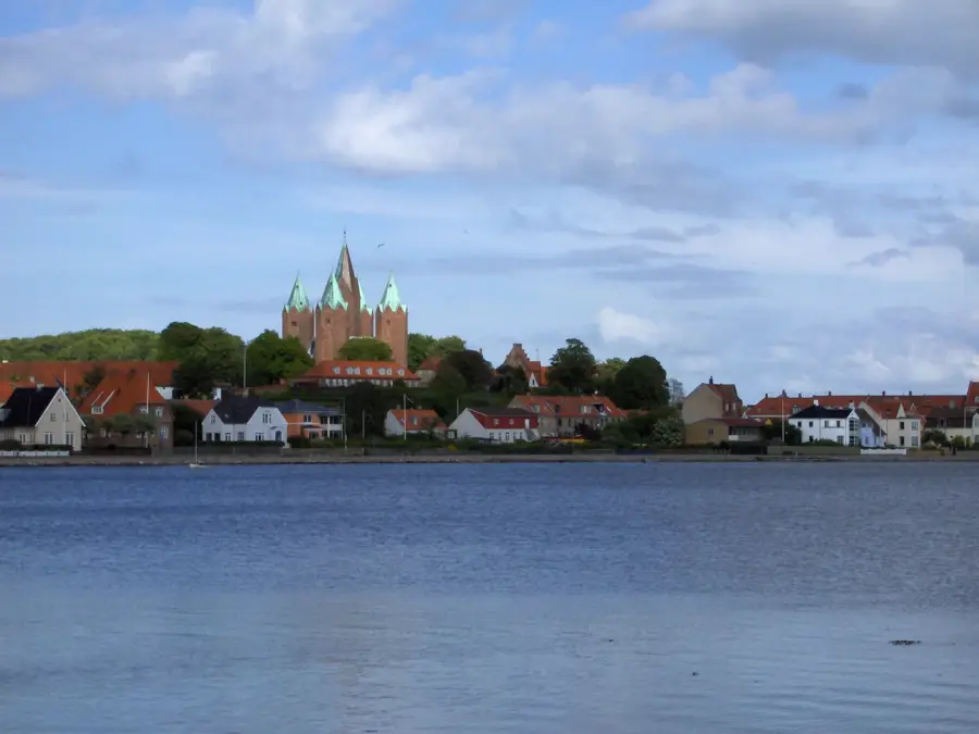
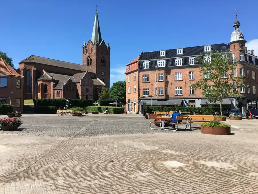
Kalundborg Bakke refers to the striking elevations on the Røsnæs peninsula and around the town of Kalundborg in West Zealand. The relief is defined by steep coastal cliffs and undulating moraine ridges that extend far into the Great Belt. Geologically, the region is recognized as the terminal moraine of a glacial lobe from the last ice age, which resulted in the narrow, elongated shape of the hill ranges. The highest points offer spectacular views across the sea toward the Great Belt Bridge. Historically, the high ground above the harbor was the site of Kalundborg Castle, with the famous five-towered Church of Our Lady still standing as a testament to its past. The microclimate on these hills is one of the driest and sunniest in Denmark, supporting a unique flora with steppe-like plant communities. The slopes are often used for grazing, maintaining the open character of the landscape. Geomorphological trails on Røsnæs explain to visitors the dynamic formation of this exposed headland. The relief combines maritime drama with the tranquility of the Zealand countryside.
Explore on the map
How well do you know Denmark?
Find cities, landscapes and regions in 10 varied challenges on the interactive map.
Your journey, your memory
A postcard from Kalundborg Bakke
Turn your own photo into a personal postcard with a local stamp. Free and no sign-up required.
Create a postcard- Location: Denmark
- Highlights: Vor Frue Kirke · Kalundborg Museum · Kalundborg Ladegaard
- Nearby: Eskebjerg (14 km)
Best time to visit & climate
The most pleasant time to visit is Jul–Sep.
| Jan | Feb | Mar | Apr | May | Jun | Jul | Aug | Sep | Oct | Nov | Dec | |
|---|---|---|---|---|---|---|---|---|---|---|---|---|
| Avg °C | 1 | 1 | 3 | 7 | 12 | 15 | 18 | 18 | 15 | 11 | 6 | 3 |
| Rain mm | 59 | 48 | 42 | 35 | 50 | 68 | 72 | 79 | 56 | 68 | 60 | 62 |
📋 Practical info
Geography
Facts
- Røsnæs is a peninsula approximately 15 kilometers in length.
- The highest point on Røsnæs stands 24 meters above sea level.
- Kalundborg's Church of Our Lady was built on the hill around 1220.
- The region receives about 100 more sunshine hours per year than the Danish average.
- The relief is composed of sediments from the Weichselian glaciation.
- Rare plants such as the Pasqueflower can be found on the hillsides.
Explore nearby
Notable places around
Route planner — Car & Motorhome
Where do you start? We build the route here, with stops and country notes along the way.
© OpenStreetMap contributors · OpenRouteService
Sights in the town Kalundborg Bakke (10)
Gryden
Theatre in Kalundborg, hosting cultural events and performances.
Sankt Mariæ Kirke
Church building in Kalundborg Municipality, Denmark, with a long tradition.
Ulfshøj
Ancient monument in Kalundborg Municipality, registered under number 98310.
Kunstnerhuset
Gallery in Kalundborg, exhibition space for visual arts and local artists.
Nyvangs Kirke
Church building in Kalundborg Municipality, a modern Danish church.
Vriedysse
Ancient monument in Kalundborg Municipality, registered under number 98400.
Sights nearby
Frequently asked questions
Where is Kalundborg Bakke?
What is the landmark of Kalundborg?
Is Røsnæs good for hiking?
Is there wine production there?
How is the lighthouse?
Kalundborg Bakke: where is it located?
Kalundborg Bakke: what is there to see?
Kalundborg Bakke: when is the best time to visit?
Kalundborg Bakke: why is it worth visiting?

Nearby cities