Plizio Visual Lab
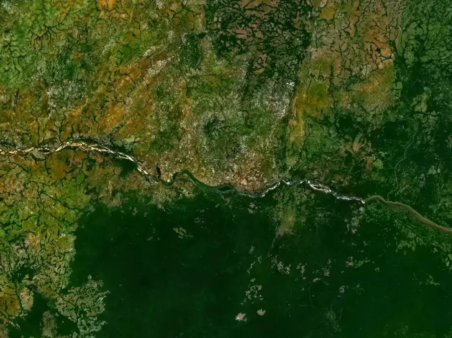
Likouala-aux-Herbes River
Weather…
Water temperature…
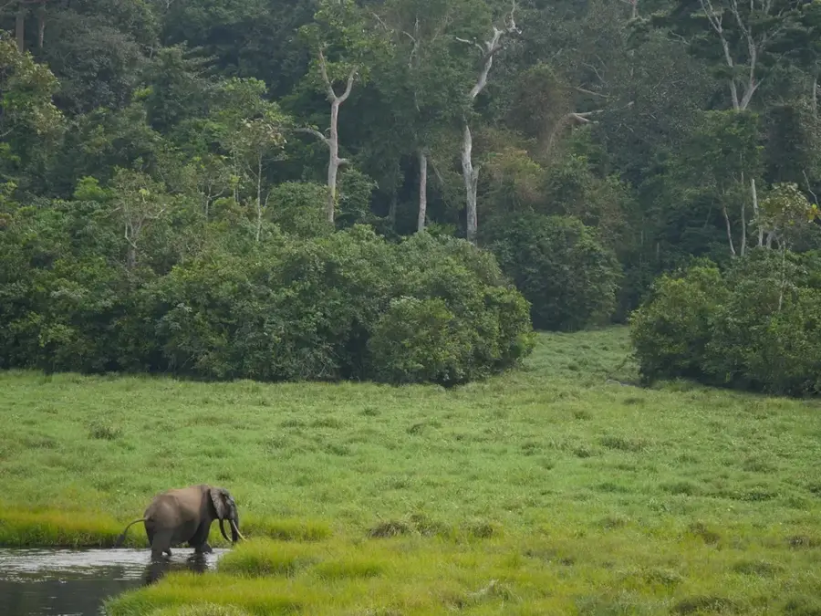
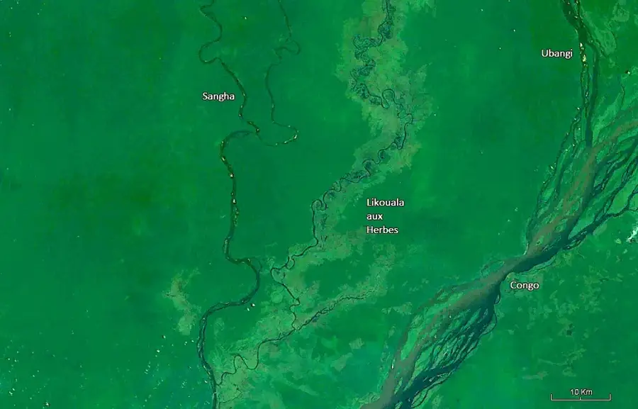
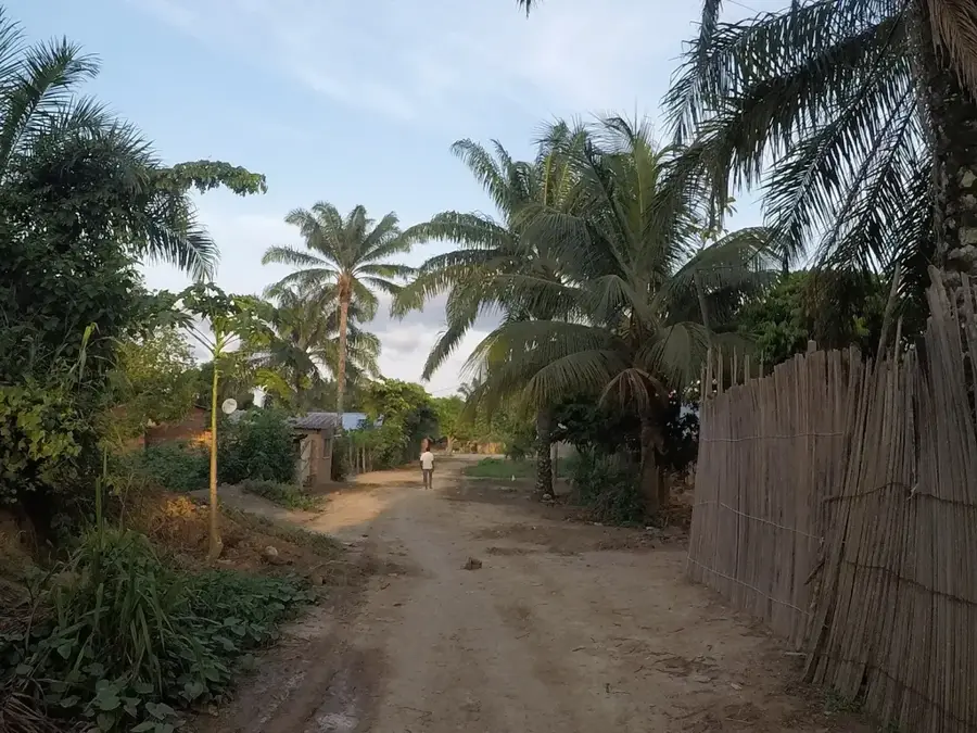
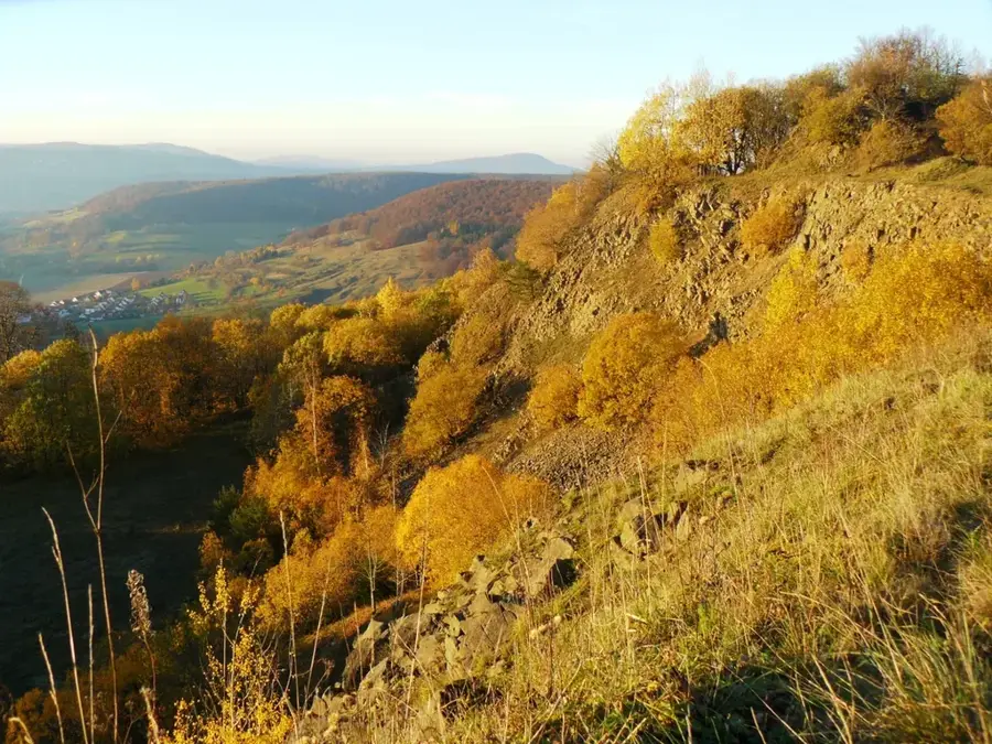
The Likouala-aux-Herbes is a left-bank tributary of the Sangha River, flowing through the swampy Likouala Department in northern Republic of the Congo. Extending for approximately 800 kilometers, the river is notable for its extremely low gradient, which results in the formation of vast permanent and seasonal marshes. It traverses some of the world's largest flooded tropical forests, designated as a Ramsar site of international importance. Due to its remote and inaccessible nature, this region is among the least explored parts of Africa, preserving an extraordinary level of biodiversity. The river is highly productive for fishing, serving as the primary source of protein and transport for local indigenous communities. During the peak rainy season, the surrounding landscape transforms into massive temporary lakes. Its name, meaning 'Likouala of the Grasses,' refers to the dense aquatic vegetation lining its slow-moving waters.
- Location: Congo - Brazzaville
- Nearby: Epéna (84 km)
Best time to visit & climate
The most pleasant time to visit is Jan, Jul, Dec.
| Jan | Feb | Mar | Apr | May | Jun | Jul | Aug | Sep | Oct | Nov | Dec | |
|---|---|---|---|---|---|---|---|---|---|---|---|---|
| Avg °C | 27 | 27 | 27 | 26 | 26 | 26 | 26 | 26 | 25 | 25 | 25 | 26 |
| Rain mm | 58 | 109 | 164 | 127 | 135 | 116 | 83 | 131 | 209 | 210 | 172 | 104 |
📋 Practical info
Geography
Facts
- The river's total length is approximately 800 km.
- It belongs to a Ramsar site covering 4.4 million hectares.
- The river joins the Sangha River near the town of Mossaka.
- The basin hosts some of the world's highest gorilla densities.
- Water levels can fluctuate by several meters seasonally.
- The name refers to the abundant grasses along the banks.
Explore nearby
Notable places around
Route planner — Car & Motorhome
Where do you start? We build the route here, with stops and country notes along the way.
© OpenStreetMap contributors · OpenRouteService
Sights nearby
Frequently asked questions
What is the best way to explore Likouala-aux-Herbes?
What animals can be observed here?
When is the best time to visit?
Is the water suitable for swimming?
Is a local guide necessary?
Likouala-aux-Herbes River: where is it located?
Likouala-aux-Herbes River: when is the best time to visit?
Likouala-aux-Herbes River: why is it worth visiting?

Nearby cities
Nature

More places