Plizio Visual Lab
Mbandaka Children's Park

Weather…
Water temperature…
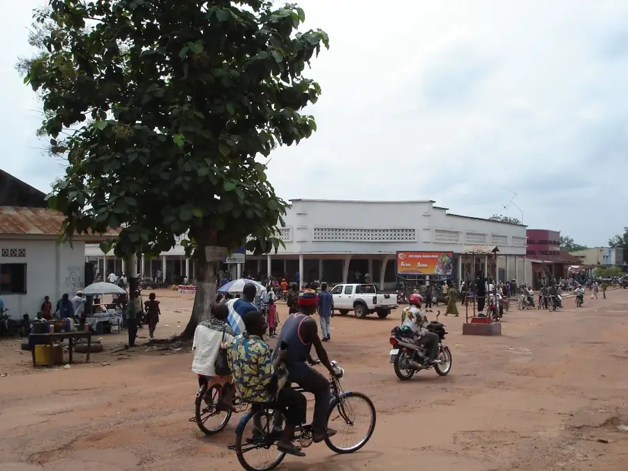
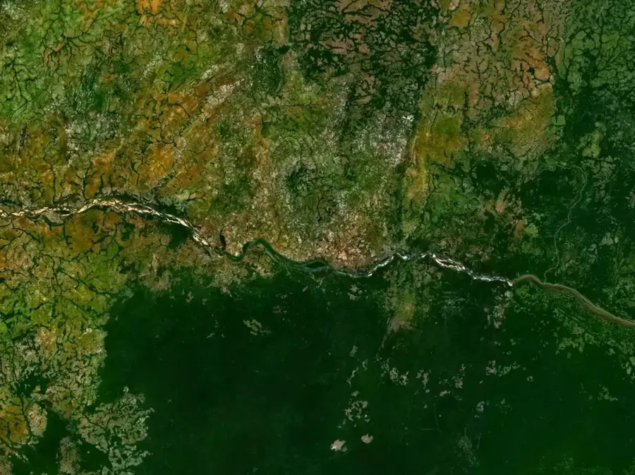
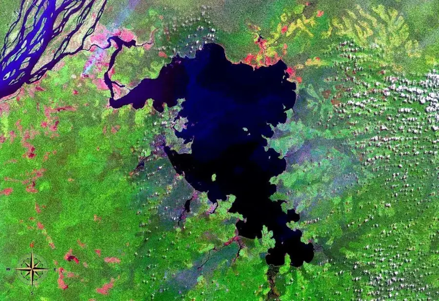
The Children's Park in Mbandaka is located in the heart of the Équateur province's capital, perched on the banks of the Congo River and situated nearly exactly on the Equator. Founded in 1883 by Henry Morton Stanley as Coquilhatville, Mbandaka is a strategic center for river trade and transportation. The park provides an essential recreational outlet in a city characterized by its proximity to dense rainforests and vast wetlands. Designed to offer a safe environment for physical activity, it features various playground structures and open lawns where children can play away from the busy riverfront docks. The area's ecological significance is highlighted by the nearby Eala Botanical Garden, which is one of the oldest in Central Africa. Due to the consistent equatorial climate, which brings high humidity and daily temperatures averaging 30°C, the park is most active during the cooler evening hours. It serves as a social hub for families, fostering community ties in one of the DRC's most geographically unique urban centers.
Explore on the map
How well do you know Congo - Kinshasa?
Find cities, landscapes and regions in 10 varied challenges on the interactive map.
Your journey, your memory
A postcard from Mbandaka Children's Park
Turn your own photo into a personal postcard with a local stamp. Free and no sign-up required.
Create a postcard- Location: Congo - Kinshasa
- Nearby: Bikoro (84 km)
Best time to visit & climate
The most pleasant time to visit is Jan, Jul, Dec.
| Jan | Feb | Mar | Apr | May | Jun | Jul | Aug | Sep | Oct | Nov | Dec | |
|---|---|---|---|---|---|---|---|---|---|---|---|---|
| Avg °C | 27 | 27 | 27 | 26 | 26 | 26 | 26 | 26 | 26 | 26 | 26 | 26 |
| Rain mm | 81 | 136 | 173 | 152 | 160 | 140 | 120 | 136 | 194 | 198 | 188 | 120 |
📋 Practical info
Geography
Facts
- Mbandaka is positioned almost exactly on the Equator line.
- The city was originally established as Coquilhatville in 1883.
- The park overlooks the Congo River, the world's deepest river.
- The nearby Eala Botanical Garden dates back to the year 1900.
- Mbandaka serves as a major transit point for northern river trade.
- The region receives approximately 1,600 mm of rain annually.
Explore nearby
Notable places around

Route planner — Car & Motorhome
Where do you start? We build the route here, with stops and country notes along the way.
© OpenStreetMap contributors · OpenRouteService
Sights in the town Mbandaka Children's Park (1)
Sights nearby
Frequently asked questions
Is the park at the Equator?
Are there animals there?
What is the climate like?
Is playing allowed?
Are there sanitary facilities?
Mbandaka Children's Park: where is it located?
Mbandaka Children's Park: when is the best time to visit?
Mbandaka Children's Park: why is it worth visiting?

Nearby cities
History & landmarks
Nature
More places