Plizio Visual Lab
Pereira
ℹ️Practical info — Pereira
▾
🌤 Weather — 5 days
📍 Nearby
Sights nearby
💡 Tips
- The Megabús system is a clean and efficient way to move around the city.
- Take a taxi at night rather than walking in unfamiliar neighborhoods.
- Weather in the coffee region can change quickly, so always carry an umbrella.
- Enjoy the views from the Viaducto César Gaviria Trujillo, but keep an eye on your belongings.
- Agree on taxi fares beforehand if the driver does not turn on the meter.
🍽 Food
A huge traditional meat and bean platter best enjoyed in local fondas.
A sweet corn arepa with cheese, often found at street stalls in the city center.
Drink a freshly brewed cup at a specialized cafe around Plaza de Bolívar.
🛍 Shopping · 🧘 Quiet spots
A good spot to find traditional coffee beans and local sweets.
Visit this market for fresh exotic fruits and local spices.
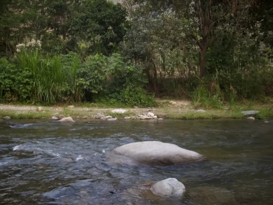
A large biopark that is handy for a long, quiet walk among nature.
Enjoy the peaceful trails and bird watching opportunities.
Water temperature…
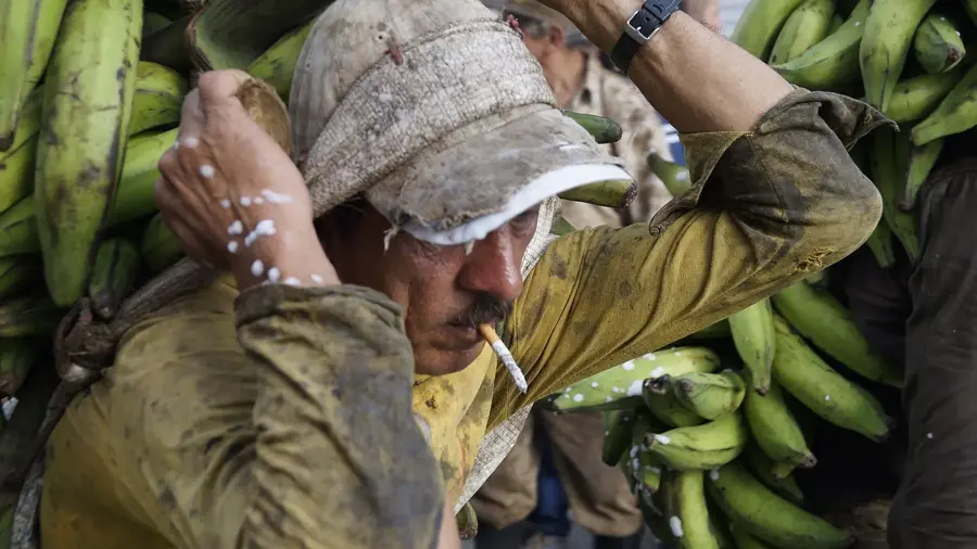
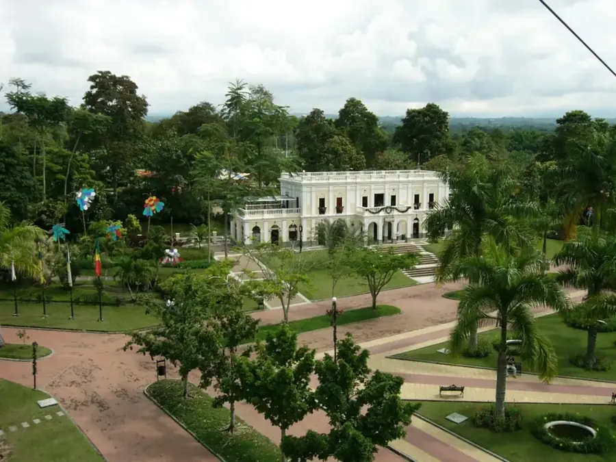
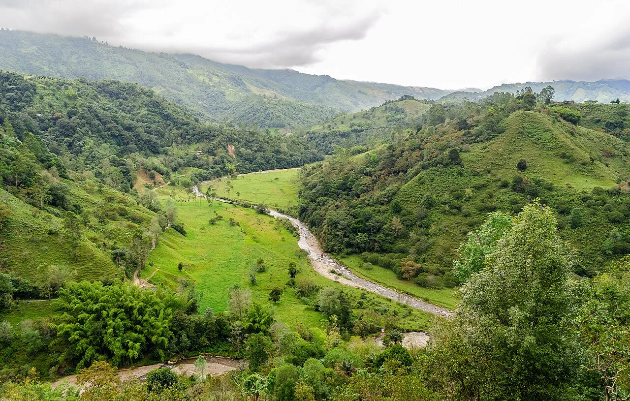
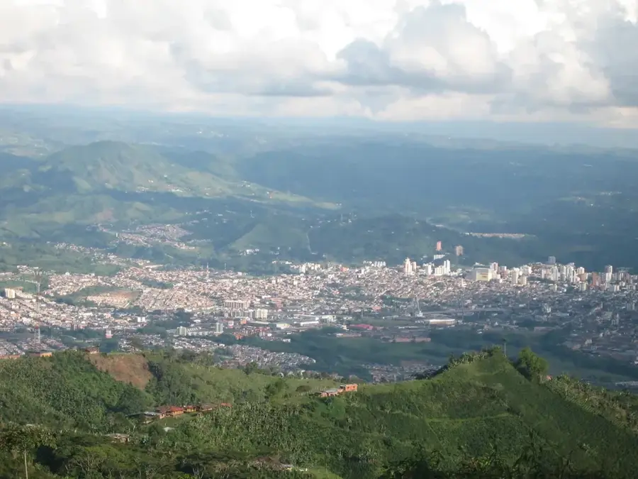
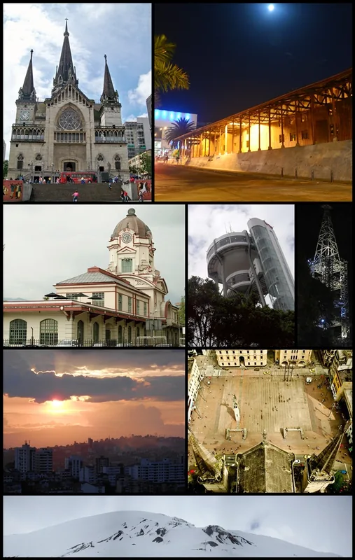
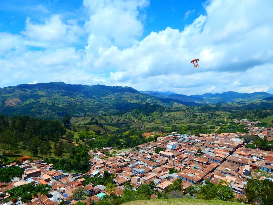
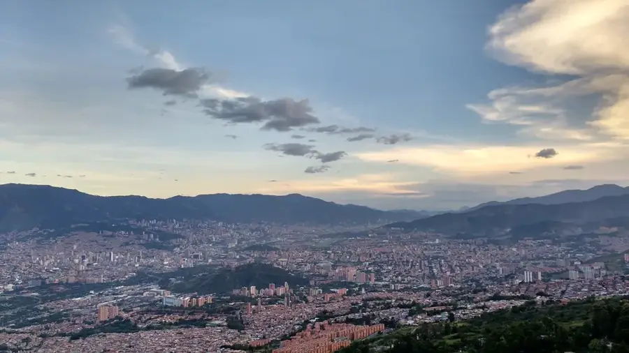
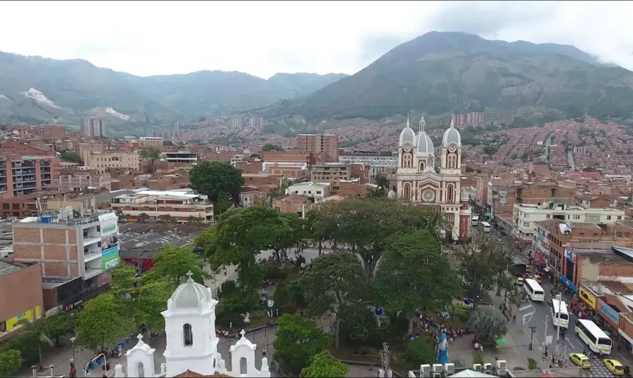
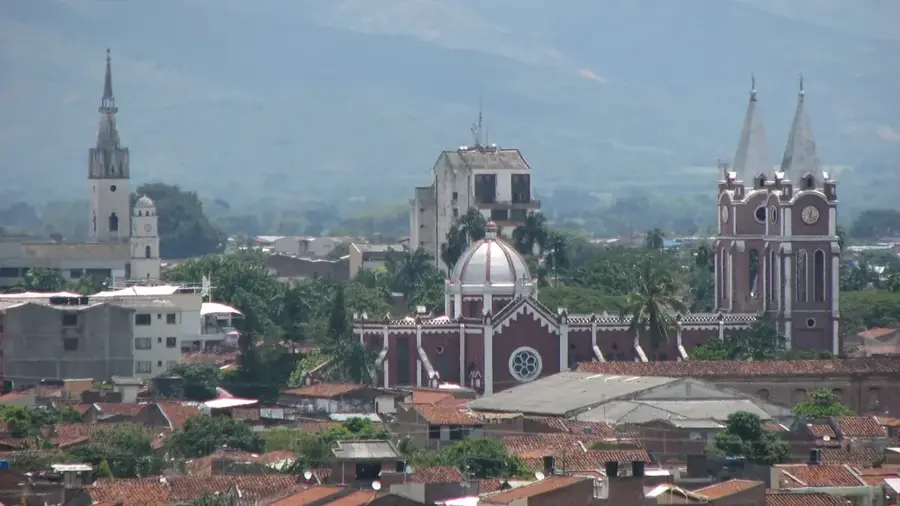
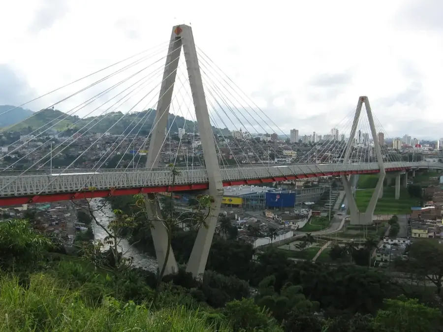
Pereira, the capital of the Risaralda department, was founded on August 30, 1863, and is a key city within the Colombian Coffee Axis. Located in the Otún River valley at an altitude of approximately 1,411 meters, it serves as a strategic commercial and logistical hub connecting Bogotá, Medellín, and Cali. The city's economy is anchored by coffee production, textile manufacturing, and a robust retail sector, with the surrounding region designated as a UNESCO World Heritage site. A prominent landmark is the César Gaviria Trujillo Viaduct, a massive cable-stayed bridge that spans the Otún River and links Pereira with Dosquebradas. Pereira's Matecaña International Airport is one of the busiest in Colombia, facilitating significant regional travel and trade. Known as 'The city without doors,' it is celebrated for its welcoming atmosphere and animated urban culture. The city is also a gateway to the Los Nevados National Natural Park, home to high-altitude glaciers and diverse Andean flora and fauna.
- Location: Colombia
- Top sights: Our Lady of Poverty · Galeria de Vite Luis Caulas · El Salón del Arte
- Nearby: Filandia (6 km)
- Population: ~467.269 (2026)
Best time to visit & climate
The most pleasant time to visit is Jan, Feb, Jul.
| Jan | Feb | Mar | Apr | May | Jun | Jul | Aug | Sep | Oct | Nov | Dec | |
|---|---|---|---|---|---|---|---|---|---|---|---|---|
| Avg °C | 16 | 17 | 17 | 16 | 16 | 16 | 16 | 16 | 16 | 16 | 16 | 16 |
| Rain mm | 113 | 118 | 161 | 217 | 202 | 146 | 130 | 142 | 150 | 221 | 215 | 173 |
Geography
Facts
- Founded on August 30, 1863, during the Colombian colonization period.
- Situated at an average elevation of 1,411 meters above sea level.
- Matecaña International Airport was largely built by community labor in 1944.
- The César Gaviria Trujillo Viaduct is 440 meters long.
- Has served as the capital of Risaralda since the department's creation in 1966.
- Los Nevados National Natural Park is located 40 km east of the city.
Explore nearby
Notable places around
Route planner — Car & Motorhome
Where do you start? We build the route here, with stops and country notes along the way.
© OpenStreetMap contributors · OpenRouteService
Sights in the town Pereira (15)
Frequently asked questions
What is Pereira's location?
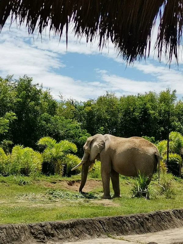
What is Ukumarí Biopark?
What is the César Gaviria Viaduct?
Are the Santa Rosa hot springs close?
How is the nightlife?
Pereira: where is it located?
Pereira: what is there to see?
Pereira: when is the best time to visit?
Pereira: why is it worth visiting?

Nearby cities
History & landmarks
More places