Plizio Visual Lab
Serranía de la Macarena

Weather…
Water temperature…
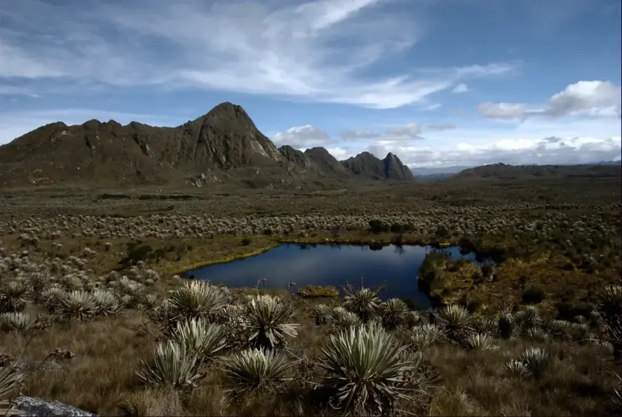
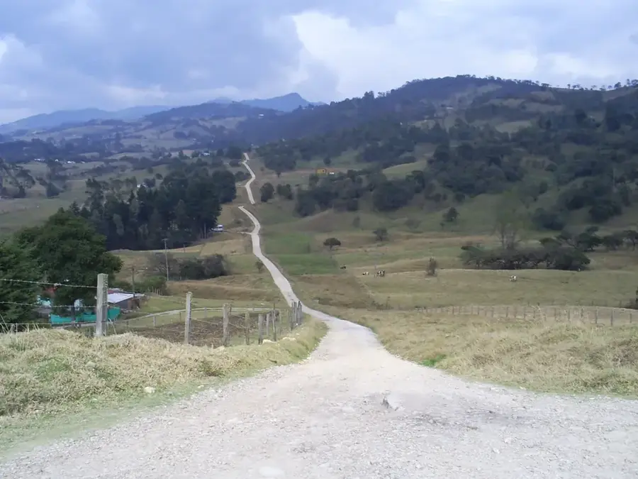
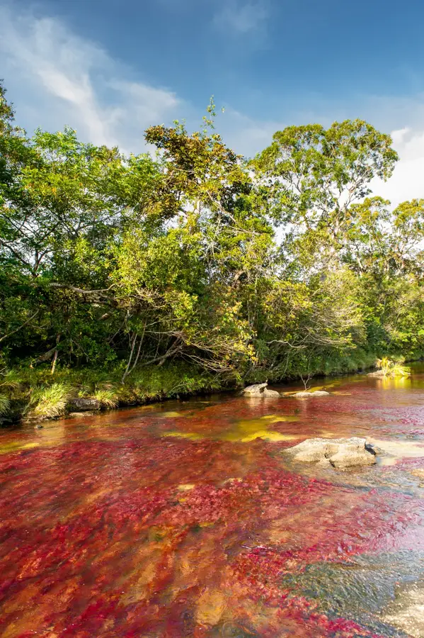
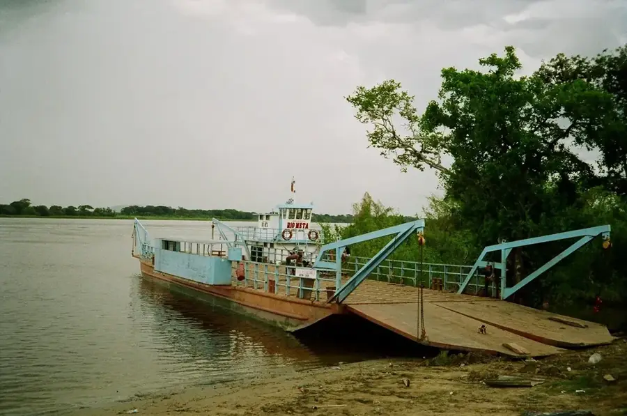
Serranía de la Macarena is an exceptional mountain massif in the department of Meta, functioning as a geological bridge between the Andes, the Amazon basin, and the Orinoco plains. This isolated mountain range belongs to the Guiana Shield, one of South America's oldest geological formations, and accordingly features unique flora and fauna. The region's most famous landmark is Caño Cristales, often called the 'River of Five Colors,' where the endemic aquatic plant Macarenia clavigera produces spectacular red, green, and yellow hues during the rainy season. The landscape is characterized by sandstone plateaus, deep canyons, and waterfalls that host a high concentration of endemic species. Protected as a national park, Macarena is a crucial corridor for wildlife migration and a center for ecological research. Historically, the region was difficult to access for a long time, which contributed to the preservation of its almost untouched wilderness. Besides the famous river, the Serranía also gives significant archaeological treasures in the form of petroglyphs and rock paintings from indigenous peoples who inhabited the region millennia ago. Today, it is a symbol of Colombian ecotourism and biodiversity protection.
- Location: Colombia
- Nearby: Caño Cristales (18 km)
Best time to visit & climate
The most pleasant time to visit is Jan, Feb, Sep.
| Jan | Feb | Mar | Apr | May | Jun | Jul | Aug | Sep | Oct | Nov | Dec | |
|---|---|---|---|---|---|---|---|---|---|---|---|---|
| Avg °C | 25 | 26 | 26 | 25 | 25 | 24 | 24 | 25 | 25 | 25 | 25 | 25 |
| Rain mm | 58 | 79 | 163 | 241 | 264 | 198 | 174 | 134 | 122 | 210 | 241 | 138 |
📋 Practical info
Geography
Facts
- Location of Caño Cristales (River of 5 Colors)
- Part of the ancient Guiana Shield
- Transition between the Andes and the Amazon
- Home to the Macarenia clavigera plant
- Covers approx. 6,200 square kilometers
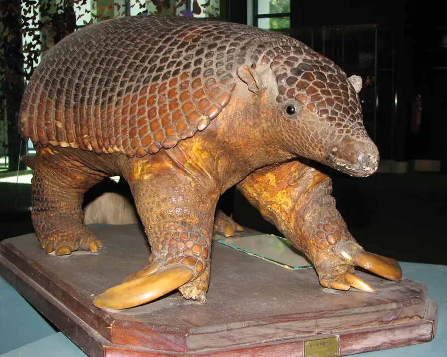
- Home to over 500 species of birds
Explore nearby
Notable places around
Route planner — Car & Motorhome
Where do you start? We build the route here, with stops and country notes along the way.
© OpenStreetMap contributors · OpenRouteService
Sights nearby
Frequently asked questions
What is Serranía de la Macarena known for?
When should you visit Caño Cristales?
Is access restricted?
How do you reach the region?
Are there many wild animals there?
Serranía de la Macarena: where is it located?
Serranía de la Macarena: when is the best time to visit?
Serranía de la Macarena: why is it worth visiting?

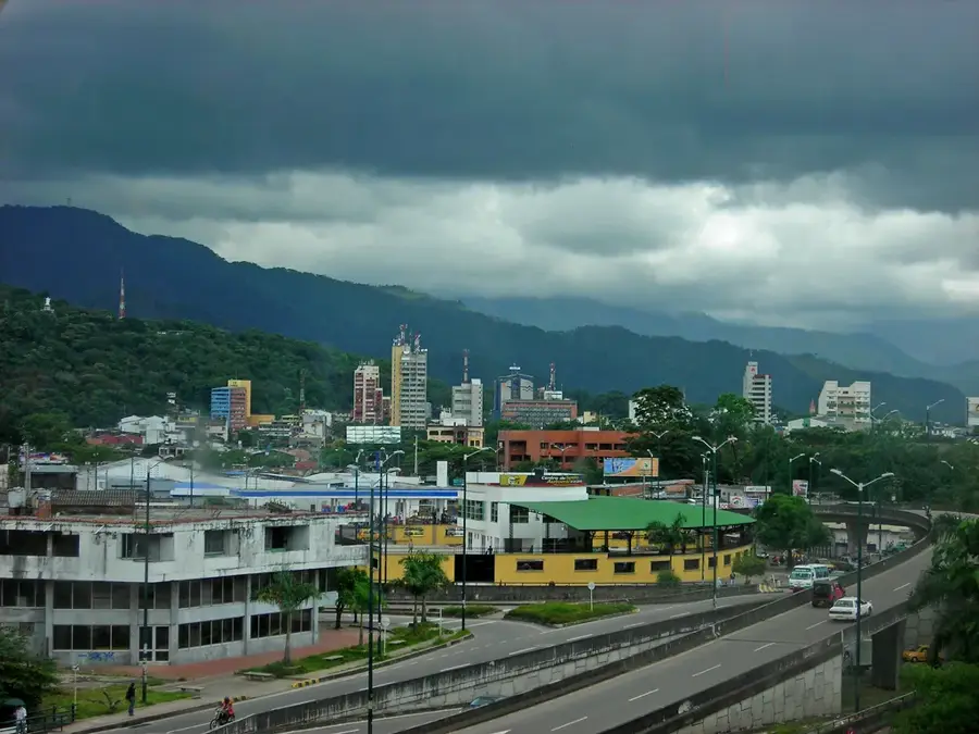
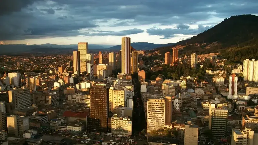
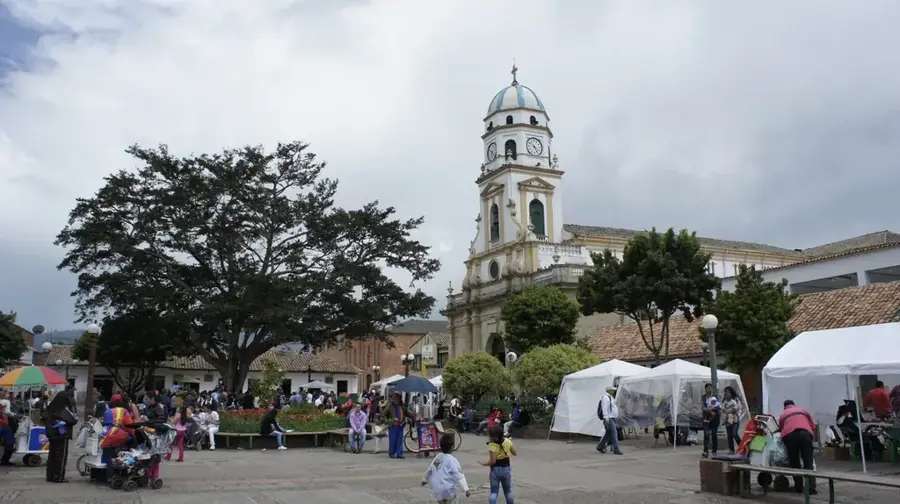
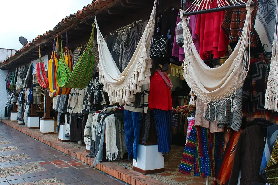
Nearby cities
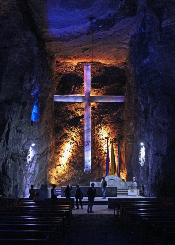
History & landmarks
Nature
More places