Plizio Visual Lab
Sumapaz Páramo
Weather…
Water temperature…
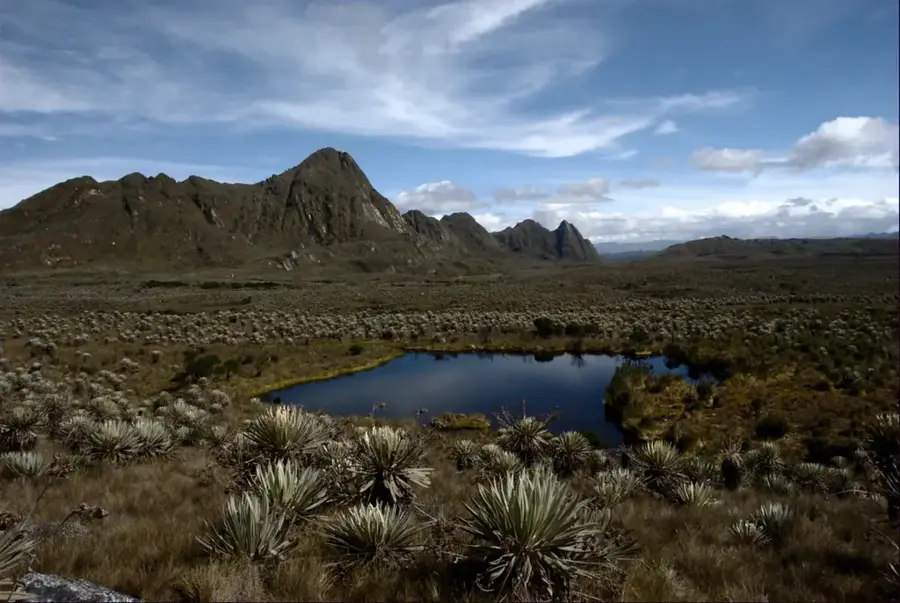
The Páramo de Sumapaz is the largest continuous páramo ecosystem in the world, located south of the Colombian capital, Bogotá. It covers an area of approximately 333,420 hectares and spans altitudes between 3,000 and 4,300 meters. This region is of inestimable ecological value, functioning as a giant natural water reservoir that supplies millions of people with drinking water. The landscape is characterized by countless glacial lakes, bogs, and the distinctive frailejones vegetation. Sumapaz was historically an important territory for the Muisca culture and later served as a refuge during various conflict periods in Colombia. Today, a large portion of the area is protected as a national park to safeguard the sensitive flora and fauna from climate change and human interference. The harsh, often foggy climate and the vast, solitary high plateaus make Sumapaz one of the country's most fascinating wildernesses.
- Location: Colombia
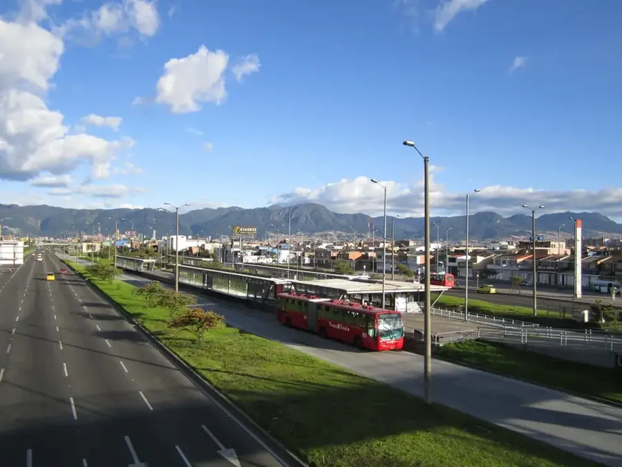
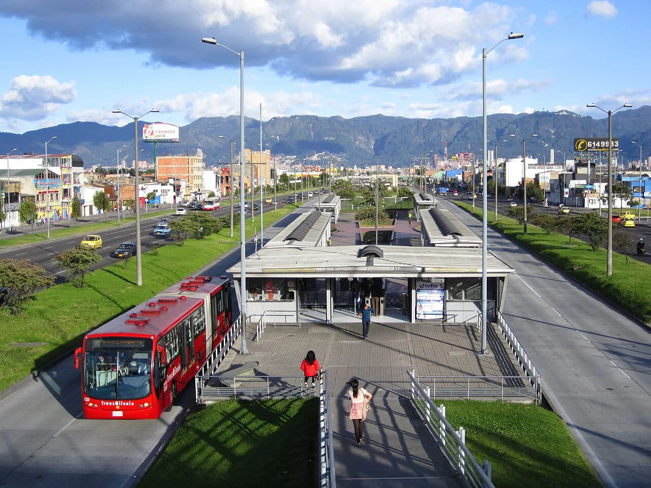
- Nearby: Soacha (18 km)
Best time to visit & climate
The most pleasant time to visit is Jan, Feb, Dec.
| Jan | Feb | Mar | Apr | May | Jun | Jul | Aug | Sep | Oct | Nov | Dec | |
|---|---|---|---|---|---|---|---|---|---|---|---|---|
| Avg °C | 19 | 20 | 20 | 20 | 19 | 18 | 18 | 18 | 19 | 19 | 19 | 19 |
| Rain mm | 44 | 66 | 165 | 297 | 344 | 282 | 251 | 201 | 167 | 259 | 231 | 131 |
📋 Practical info
Geography
Facts
- The total area of the páramo is approximately 3,334 square kilometers.
- The highest point is Cerro Nevado del Sumapaz at 4,306 meters.
- Over 300 lagoons are located within the Sumapaz complex.
- The region hosts endemic species such as the Sumapaz deer.
- The Sumapaz National Park was officially established in 1977.
- Frailejones of the genus Espeletia can live for over 150 years here.
Explore nearby
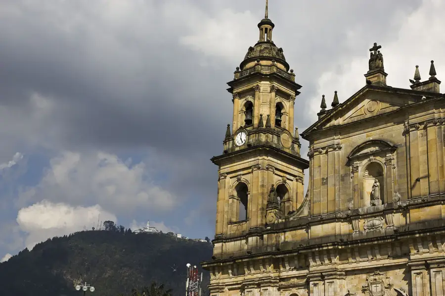
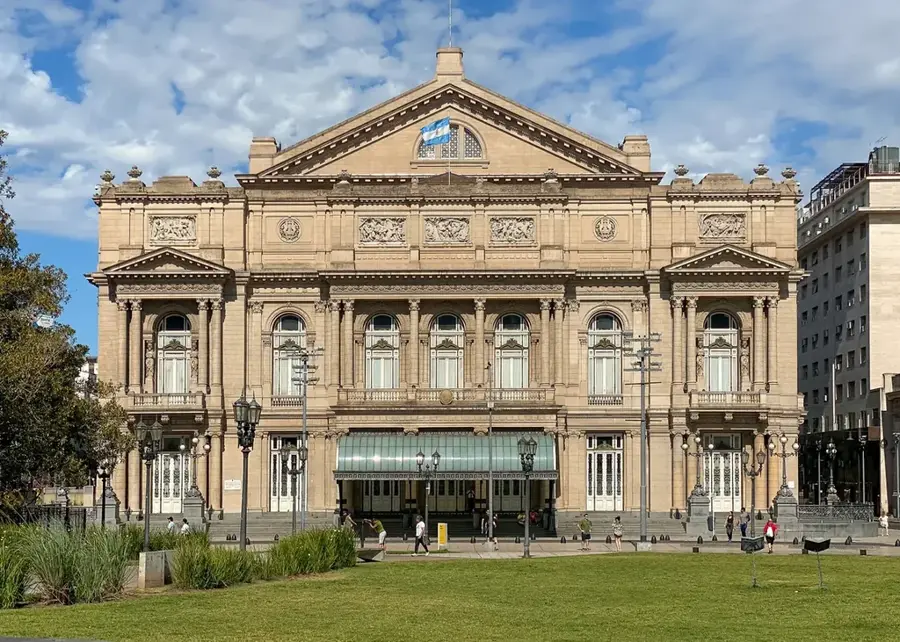
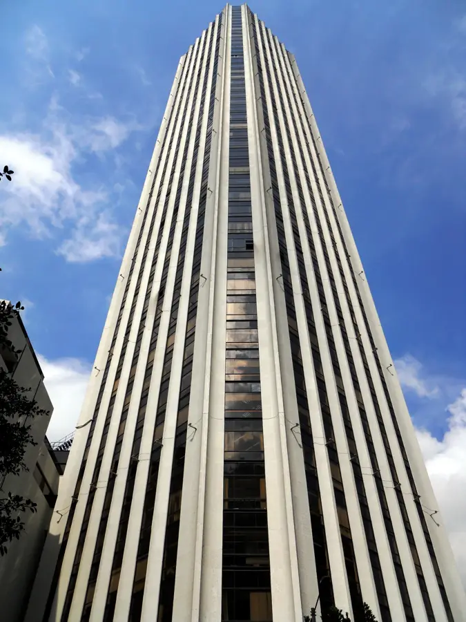
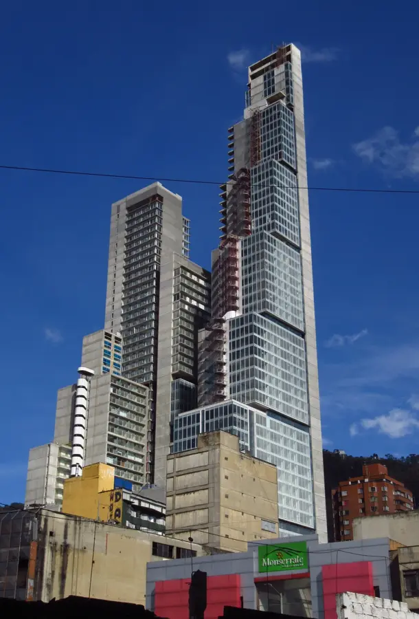
Notable places around
Route planner — Car & Motorhome
Where do you start? We build the route here, with stops and country notes along the way.
© OpenStreetMap contributors · OpenRouteService
Sights nearby
Frequently asked questions
What is special about Páramo de Sumapaz?
Where is it located?
What role does it play for Bogotá?
Can you see frailejones there?
What is the weather like?
Sumapaz Páramo: where is it located?
Sumapaz Páramo: when is the best time to visit?
Sumapaz Páramo: why is it worth visiting?

Nearby cities
History & landmarks


More places