Plizio Visual Lab
Magdalena River
Weather…
Water temperature…
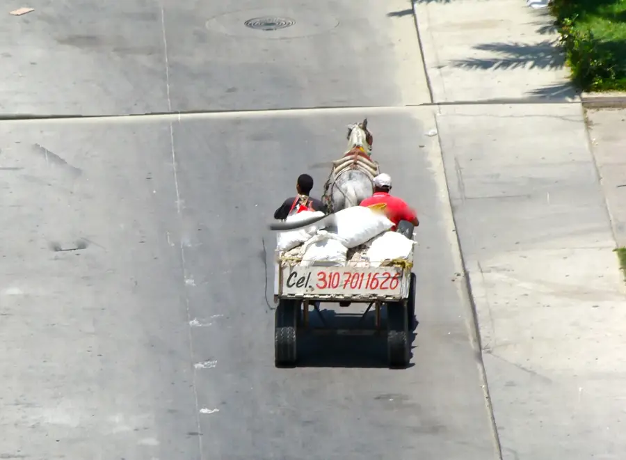
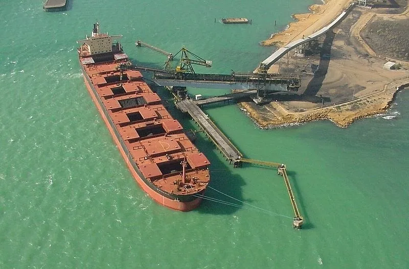
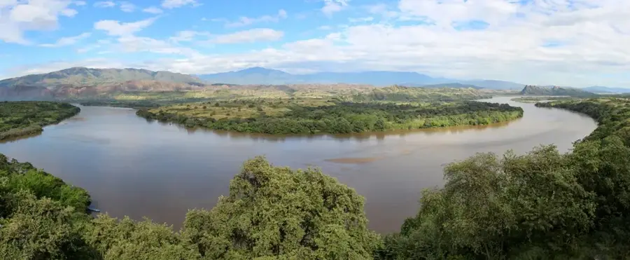
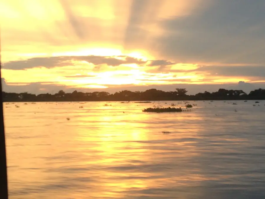
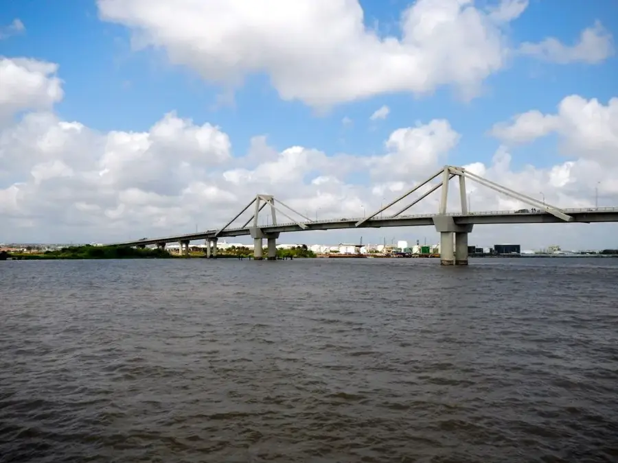
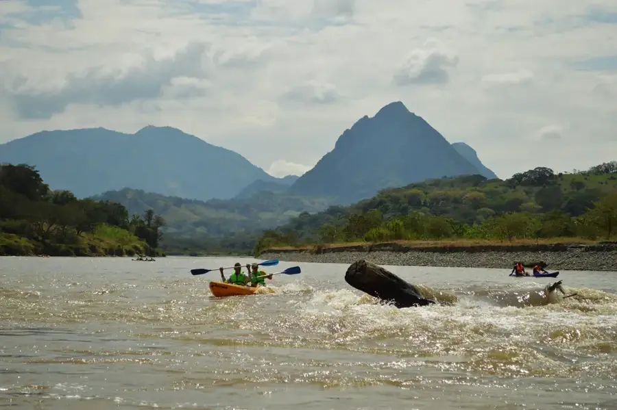
The Magdalena River is Colombia's most vital waterway, traversing the country from south to north for approximately 1,500 kilometers. It originates in the Colombian Massif of the Andes and flows into the Caribbean Sea near Barranquilla. Separating the Central and Eastern Cordilleras, the river was historically the sole link between the Caribbean coast and the interior highlands, making it the engine of national development. During the 19th and early 20th centuries, it was the primary route for steamboats transporting coffee and other exports. Culturally, the Magdalena is deeply woven into Colombian identity, closely associated with musical traditions like cumbia. The Magdalena basin supports a vast array of ecosystems, ranging from high-altitude paramos to tropical lowland rainforests and expansive marshes (ciénagas). Today, the river faces significant ecological challenges such as pollution and excessive sedimentation, while large-scale projects aim to restore its navigability and harness its hydroelectric potential.
- Location: Colombia
- Nearby: Soledad (8 km)
Best time to visit & climate
The most pleasant time to visit is Jan–Mar.
| Jan | Feb | Mar | Apr | May | Jun | Jul | Aug | Sep | Oct | Nov | Dec | |
|---|---|---|---|---|---|---|---|---|---|---|---|---|
| Avg °C | 27 | 27 | 27 | 28 | 28 | 28 | 28 | 28 | 28 | 28 | 28 | 27 |
| Rain mm | 2 | 2 | 6 | 38 | 151 | 111 | 120 | 129 | 168 | 220 | 143 | 37 |
📋 Practical info
Geography
Facts
- The total length of the Magdalena River is approximately 1,528 kilometers.
- About 80% of Colombia's population lives within the river's drainage basin.
- The river is navigable for roughly 1,000 kilometers of its course.
- Bocas de Ceniza is the name of the Magdalena's mouth at the Caribbean Sea.
- The river was the primary route for coffee exports until the mid-20th century.
- The town of Honda was historically the most significant inland port for Bogotá.
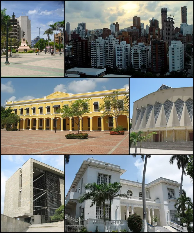
Explore nearby
Notable places around
Route planner — Car & Motorhome
Where do you start? We build the route here, with stops and country notes along the way.
© OpenStreetMap contributors · OpenRouteService
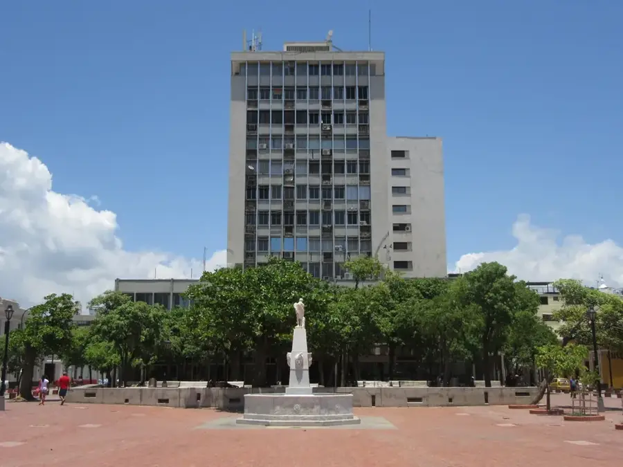
Sights in the town Magdalena River (1)
Sights nearby
Frequently asked questions
Where does the Magdalena River end?
Is the river important for Colombia?
Can you take boat tours?
What animals can be seen on the banks?
How is the water quality?
Magdalena River: where is it located?
Magdalena River: when is the best time to visit?
Magdalena River: why is it worth visiting?

Nearby cities


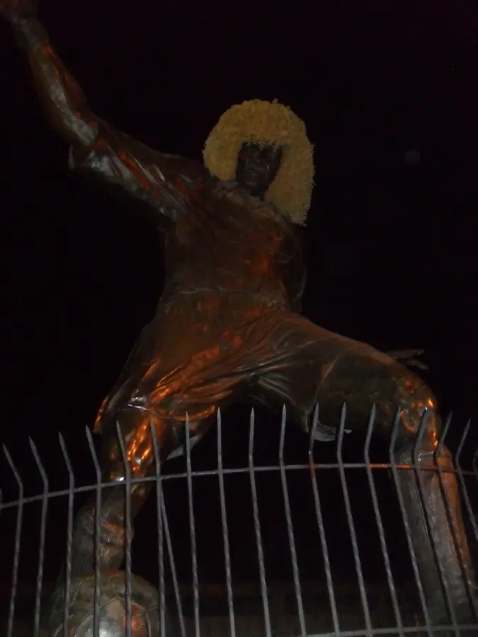
History & landmarks
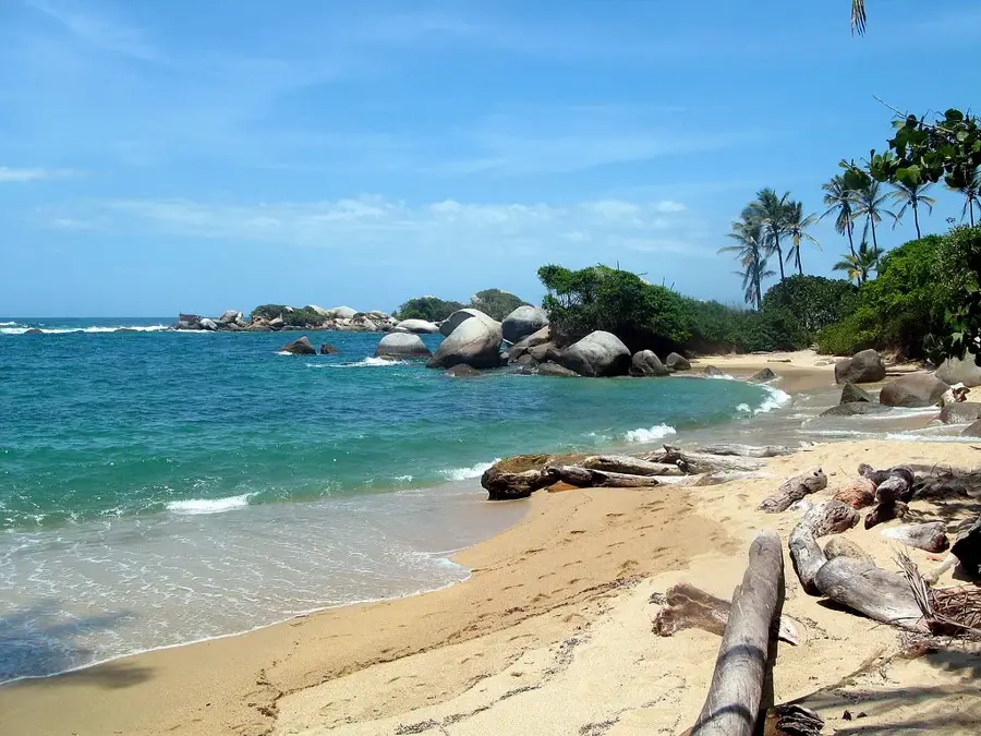
Nature
More places