Plizio Visual Lab
Ritacuba Blanco
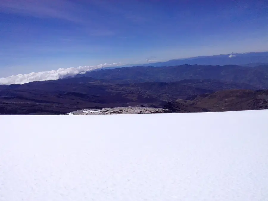
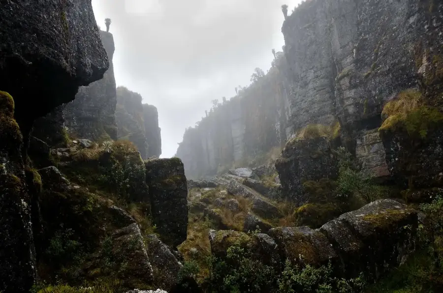
Ritacuba Blanco is the highest peak of the Sierra Nevada del Cocuy in northeastern Colombia, standing at an elevation of 5,410 meters. It belongs to the Eastern Cordillera and is noted for its spectacular glacial walls and rugged rock formations. The mountain is located within the El Cocuy National Natural Park, which preserves one of the largest contiguous glacial areas in South America north of the equator. Geologically, the range consists mainly of sedimentary rocks uplifted by tectonic forces. Ritacuba Blanco holds central importance for the indigenous U'wa people, who regard the mountain as sacred territory, leading to frequent discussions regarding tourist access. Scientific studies show that the glacier on Ritacuba Blanco has shrunk dramatically in recent decades and could disappear entirely in the near future. The surrounding region is famous for its unique paramo vegetation, particularly the Frailejones plants that are endemic to the high Andes.
- Location: Colombia
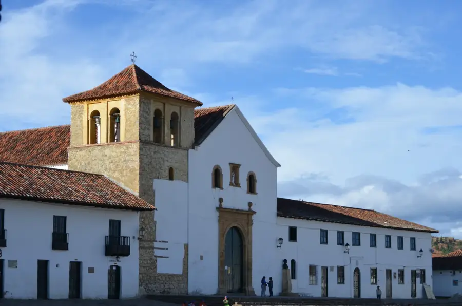
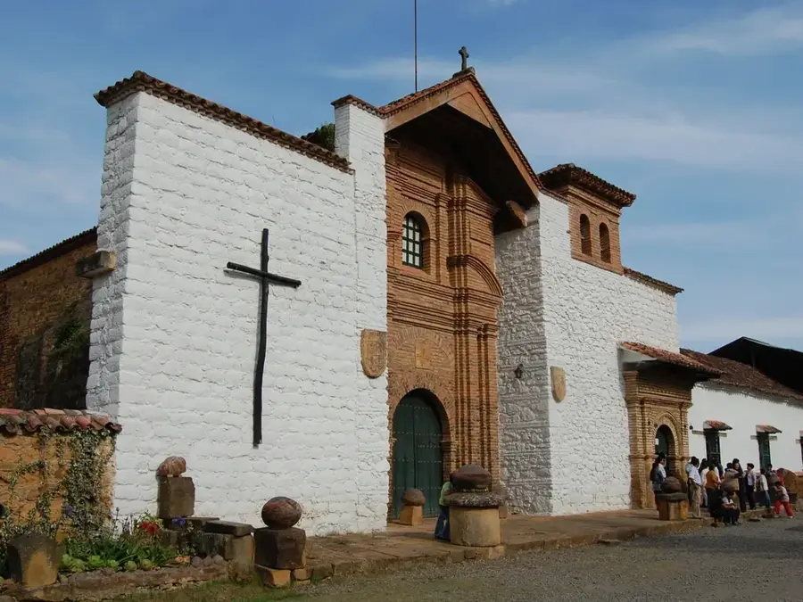
- Top sights: The witch's noes · Ritacuba Blanco
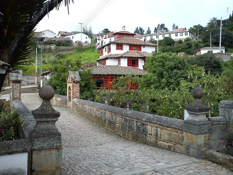
- Nearby: Villa Del Rosario (49 km)
Best time to visit & climate
The most pleasant time to visit is Jan, Feb, Dec.
| Jan | Feb | Mar | Apr | May | Jun | Jul | Aug | Sep | Oct | Nov | Dec | |
|---|---|---|---|---|---|---|---|---|---|---|---|---|
| Avg °C | 11 | 12 | 12 | 13 | 12 | 11 | 11 | 11 | 12 | 12 | 12 | 12 |
| Rain mm | 40 | 45 | 101 | 125 | 161 | 127 | 114 | 107 | 102 | 145 | 120 | 63 |
📋 Practical info
Geography
Facts
- Highest point in Sierra Nevada del Cocuy (5,410 meters)
- Glacial snout ends at approximately 4,800 meters
- Part of the Eastern Andean Cordillera
- Sacred mountain for the U'wa indigenous tribe
- El Cocuy National Park was established in 1977
- Documented glacial retreat of 25 meters per year
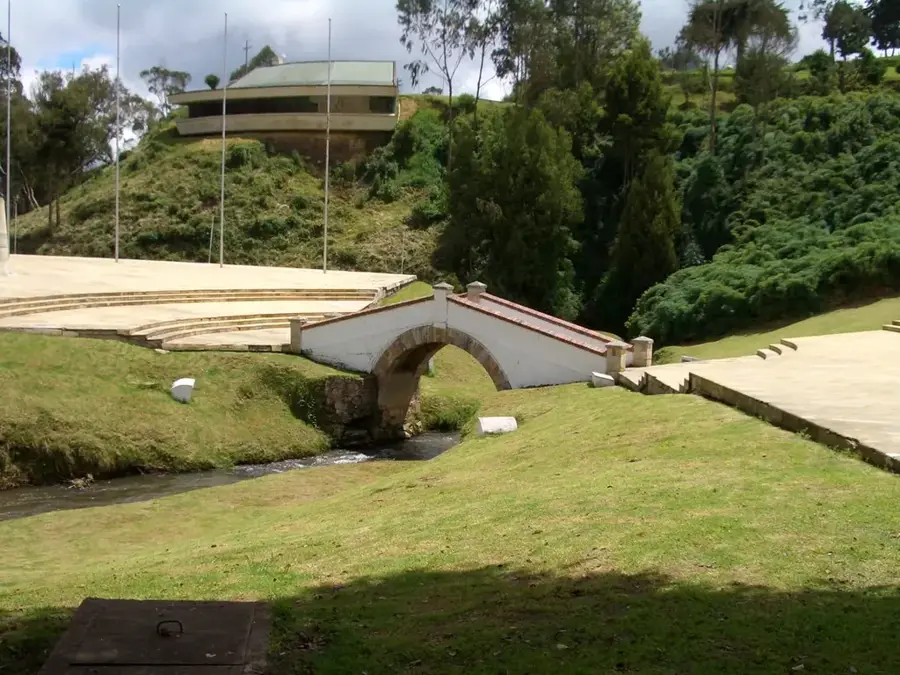
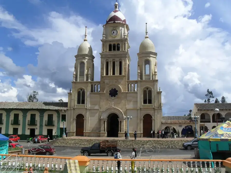
Explore nearby
Notable places around
Route planner — Car & Motorhome
Where do you start? We build the route here, with stops and country notes along the way.
© OpenStreetMap contributors · OpenRouteService
Sights in the town Ritacuba Blanco (2)
Sights nearby
Frequently asked questions
Where is Ritacuba Blanco located?
Is it difficult to climb?
Is there a lot of ice?
When should you visit?
How high is the peak?
Ritacuba Blanco: where is it located?
Ritacuba Blanco: what is there to see?
Ritacuba Blanco: when is the best time to visit?
Ritacuba Blanco: why is it worth visiting?

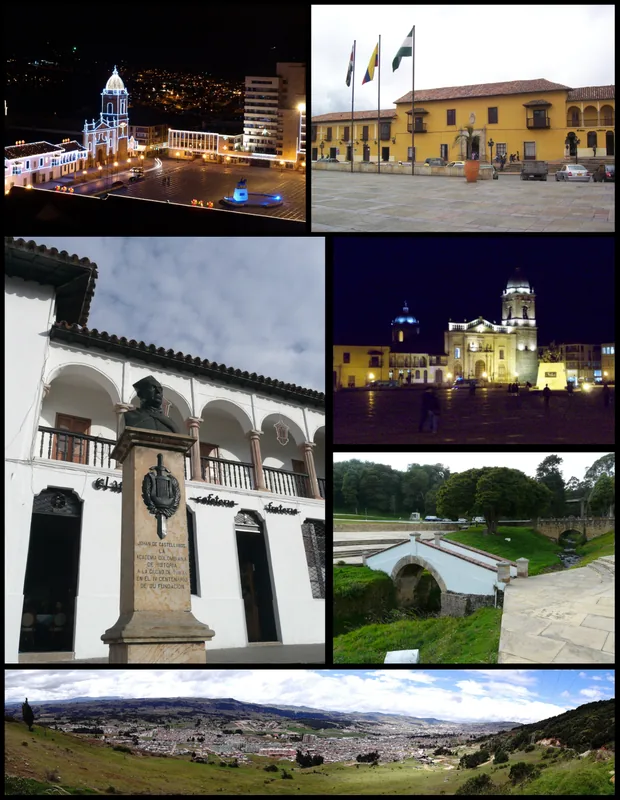
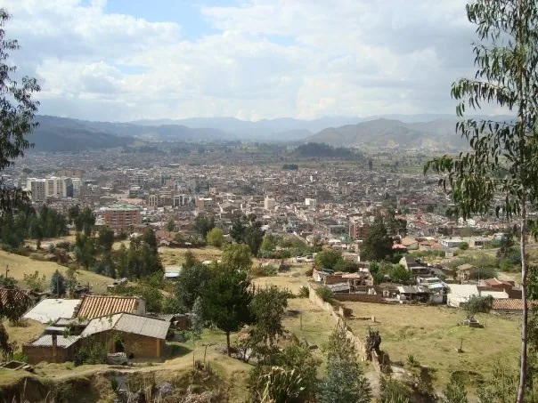
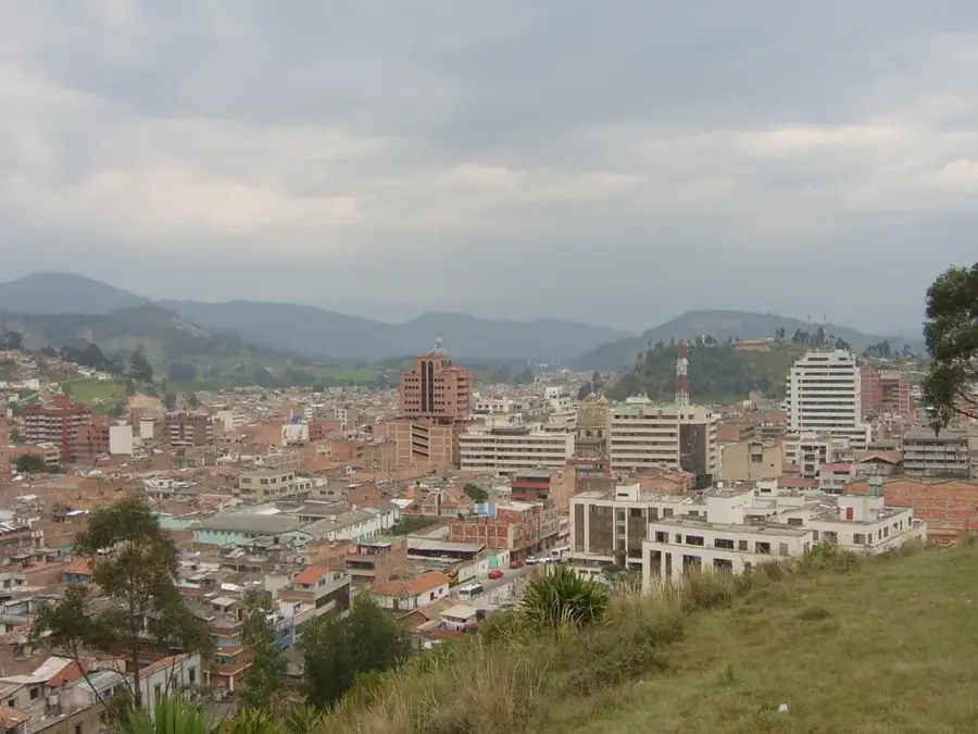
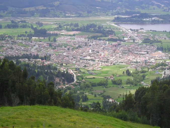
Nearby cities
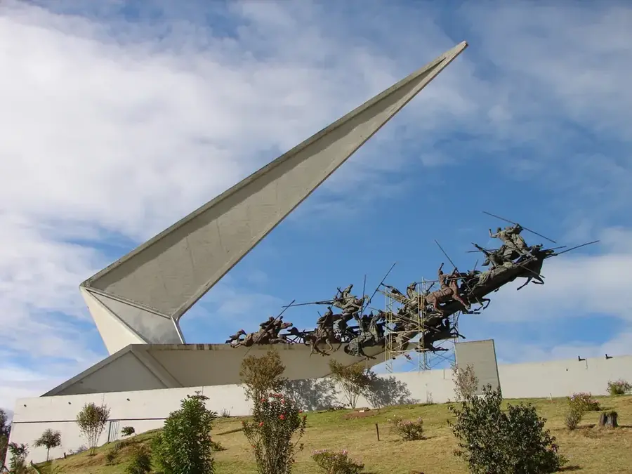
History & landmarks
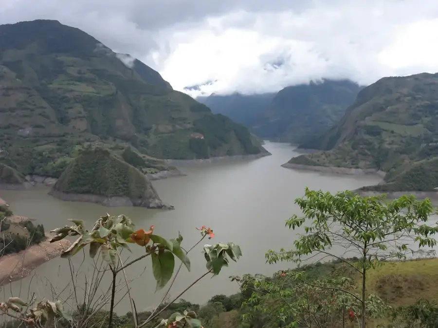
Nature
More places