Plizio Visual Lab
Dzungarian Basin
Weather…
Water temperature…
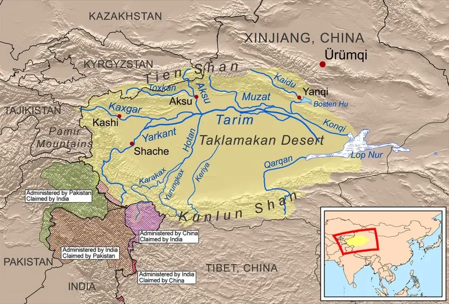
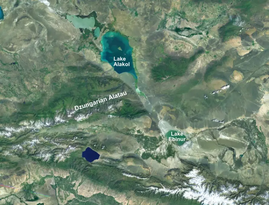
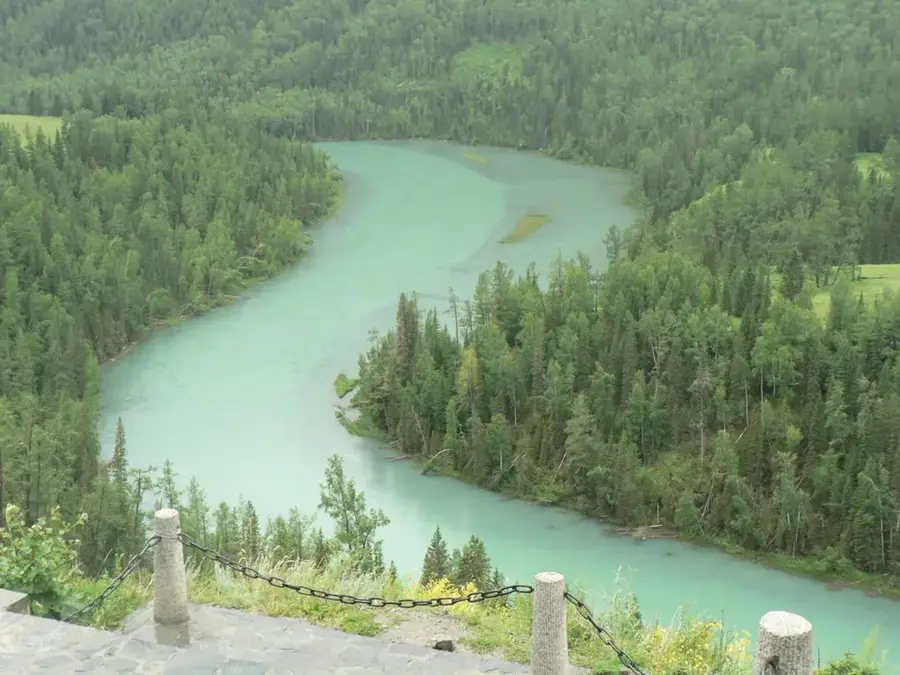
The Dzungarian Basin is a vast triangular depression in northern Xinjiang, China, bounded by the Altai Mountains to the north and the Tian Shan range to the south. Covering an area of approximately 380,000 square kilometers, it is one of Central Asia's most significant endorheic basins. The core of the basin is occupied by the Gurbantünggüt Desert, China's second-largest desert, known for its stabilized and semi-stabilized sand dunes. Geologically, the basin is exceptionally rich in natural resources, containing massive deposits of oil, natural gas, and coal, which have made it a cornerstone of China's energy industry. The climate is starkly continental and arid, featuring extreme temperature swings between scorching summers and freezing winters. Rivers such as the Irtysh and Manas flow along its fringes, sustaining vital oasis agriculture and growing urban centers. Historically, the basin was the heartland of the Dzungar Khanate before falling under Qing Dynasty rule in the 18th century. Today, the region is well-connected by modern rail networks and pipelines, serving as a strategic energy and logistics hub linking China with Central Asia.
- Location: China
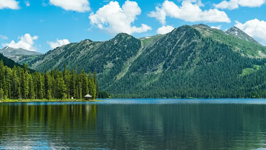
- Nearby: Kanas Lake (22 km)
Best time to visit & climate
The most pleasant time to visit is May, Jun, Sep.
| Jan | Feb | Mar | Apr | May | Jun | Jul | Aug | Sep | Oct | Nov | Dec | |
|---|---|---|---|---|---|---|---|---|---|---|---|---|
| Avg °C | -11 | -6 | 4 | 13 | 20 | 26 | 29 | 27 | 20 | 11 | 1 | -8 |
| Rain mm | 8 | 9 | 10 | 22 | 23 | 24 | 28 | 22 | 14 | 14 | 14 | 11 |
📋 Practical info
Geography
Facts
- The Dzungarian Basin covers an area of roughly 380,000 square kilometers.
- The Gurbantünggüt Desert within the basin is China's second-largest desert.
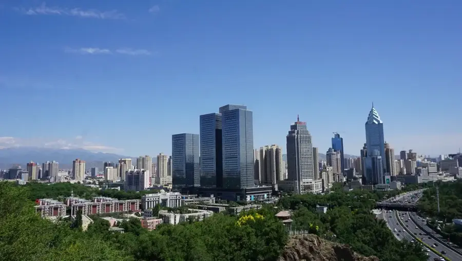
- Karamay, established in 1958, is a major center for oil production in the region.
- The Irtysh River in the north is China's only river that flows into the Arctic Ocean.
- The basin is a critical habitat for the endangered Przewalski's horse.
- Elevation in the basin generally ranges from 189 meters to over 1,000 meters.
Explore nearby
Notable places around
Route planner — Car & Motorhome
Where do you start? We build the route here, with stops and country notes along the way.
© OpenStreetMap contributors · OpenRouteService
Sights nearby
Frequently asked questions
Where is the Dzungarian Basin located?
What is the economic importance?
What is the landscape like?
Are there interesting animal species there?
When should you visit the region?
Dzungarian Basin: where is it located?
Dzungarian Basin: when is the best time to visit?
Dzungarian Basin: why is it worth visiting?

Nearby cities
Nature
More places