Plizio Visual Lab
Fort Ahui
Weather…
Water temperature…
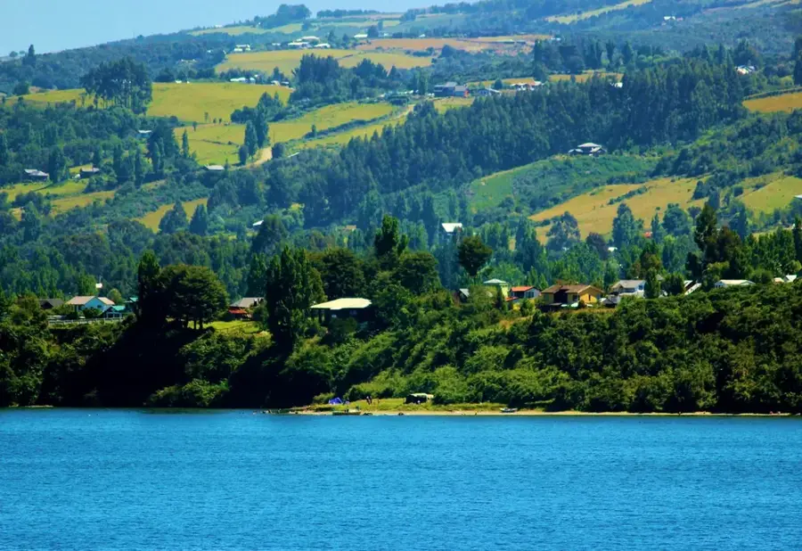
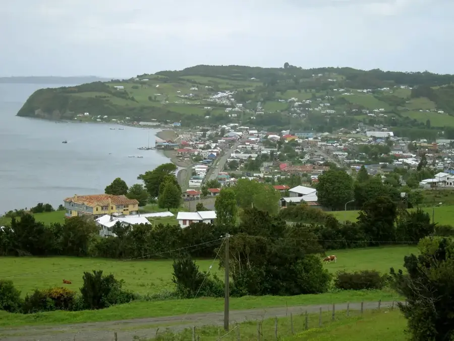
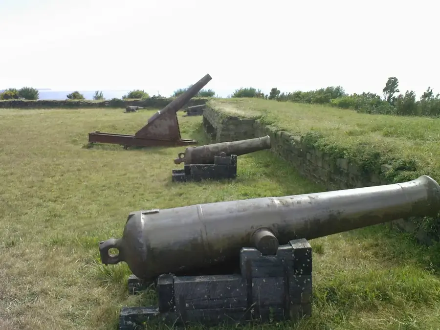
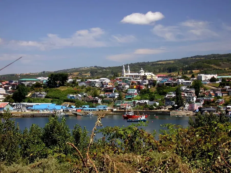
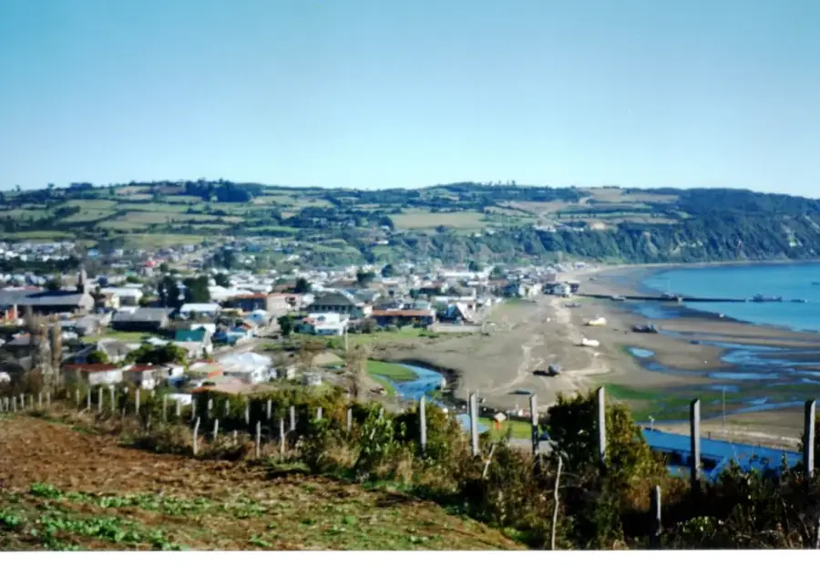
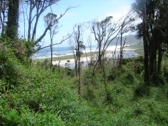
Fort Ahui, also known as Fuerte de Ahui, is located on the Lacuy Peninsula near the city of Ancud on Chiloé Island. The fortification was built in 1779 by order of the Spanish colonial authorities to defend the strategic entrance to the Bay of Ancud from foreign naval attacks. As part of the region's defensive system, the fort featured massive stone walls and a battery of eleven cannons that controlled the maritime routes. During the Chilean War of Independence, this site served as one of the last royalist strongholds in South America before being captured by republican forces in 1826. Today, the well-preserved ruins, the gunpowder magazine, and the observation points are designated as a National Monument of Chile. Visitors can explore the colonial military architecture while enjoying expansive views of the Pacific Ocean and the rugged coastline.
- Location: Chile
- Top sights: Dunas Guabún · Caleta Los Chonos · Playa Mar Brava
- Nearby: Castro (33 km)
Best time to visit & climate
The most pleasant time to visit is Jan, Feb, Dec.
| Jan | Feb | Mar | Apr | May | Jun | Jul | Aug | Sep | Oct | Nov | Dec | |
|---|---|---|---|---|---|---|---|---|---|---|---|---|
| Avg °C | 14 | 14 | 13 | 11 | 10 | 8 | 7 | 8 | 8 | 10 | 11 | 13 |
| Rain mm | 76 | 67 | 99 | 122 | 171 | 178 | 169 | 171 | 100 | 110 | 96 | 87 |
📋 Practical info
Geography
Facts
- Built in 1779 to defend the island of Chiloé.
- Originally equipped with a battery of 11 heavy cannons.
- Served as one of the last Spanish strongholds until 1826.
- Declared a National Monument of Chile in 1991.
- The walls are constructed from local stone and lime mortar.
- Strategically located at the entrance of the Chacao Channel.
Explore nearby
Notable places around
Route planner — Car & Motorhome
Where do you start? We build the route here, with stops and country notes along the way.
© OpenStreetMap contributors · OpenRouteService
Sights in the town Fort Ahui (7)
Sights nearby
Frequently asked questions
How do you reach Fort Ahui?
What is special about this fort?
Are there toilets there?
Is the path steep?
Can the fort be visited year-round?
Fort Ahui: where is it located?
Fort Ahui: what is there to see?
Fort Ahui: when is the best time to visit?
Fort Ahui: why is it worth visiting?

Nearby cities
History & landmarks
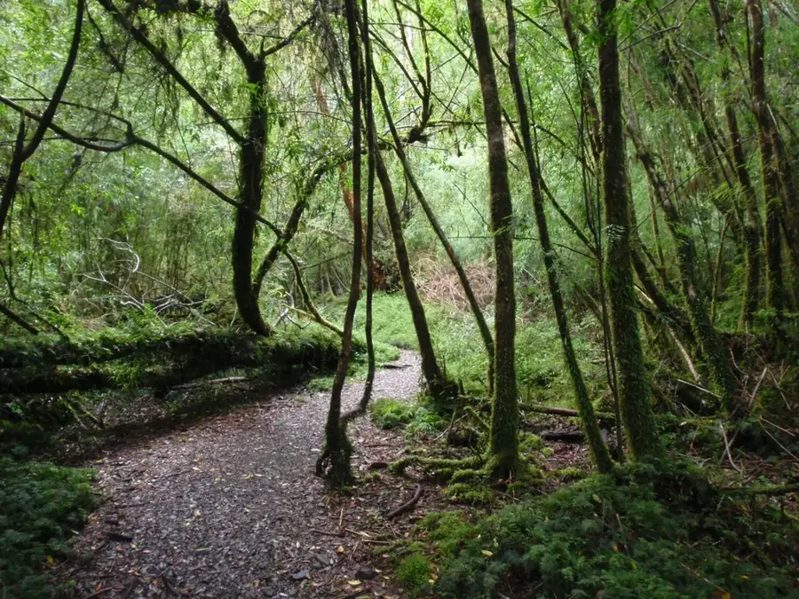
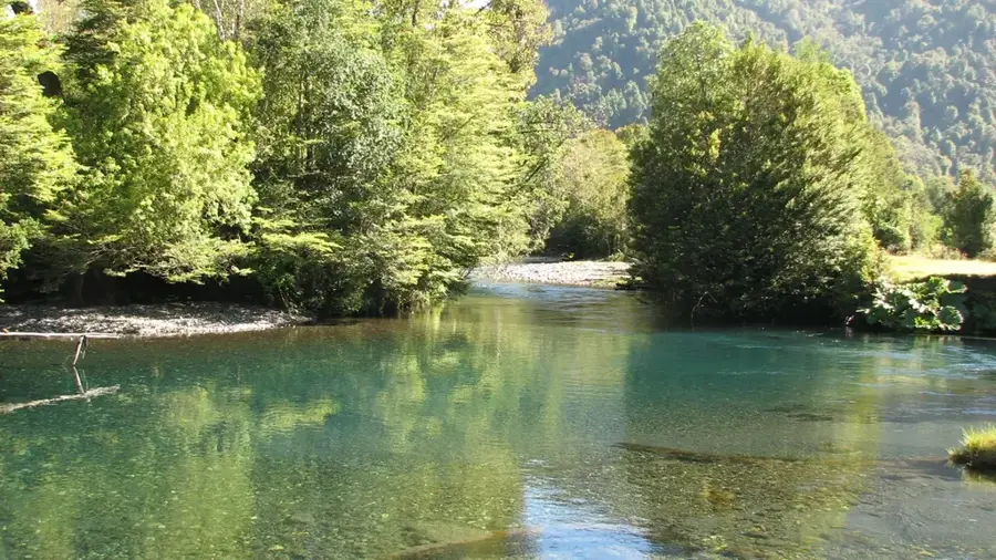
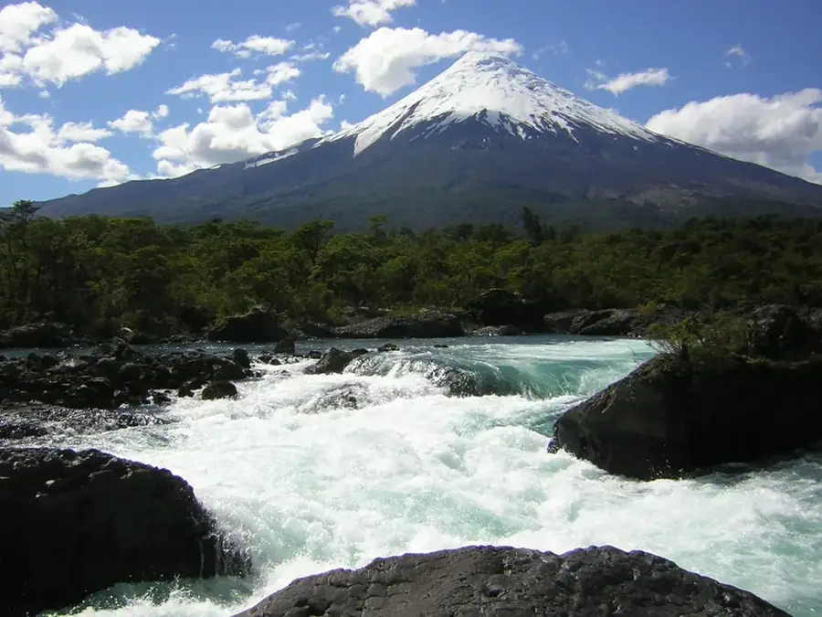
Nature

More places