Plizio Visual Lab
Atacama Desert
Weather…
Water temperature…
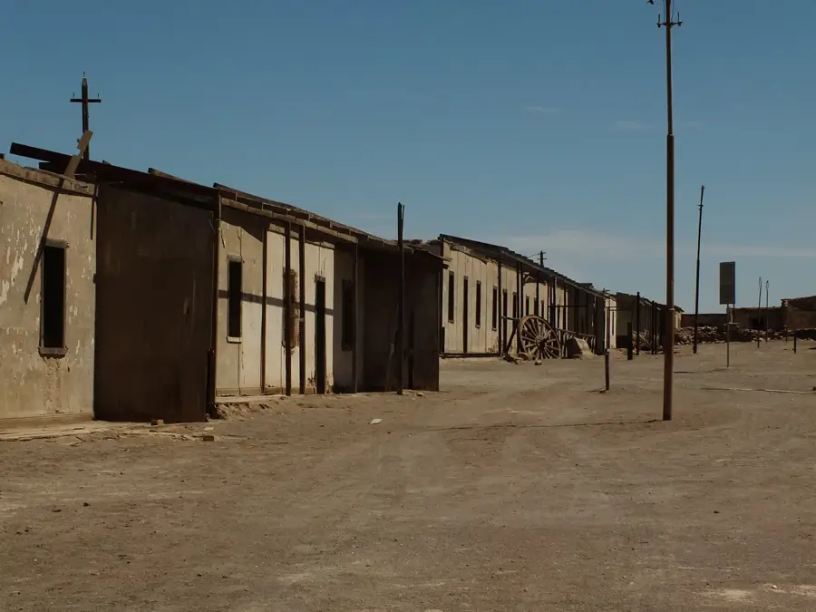
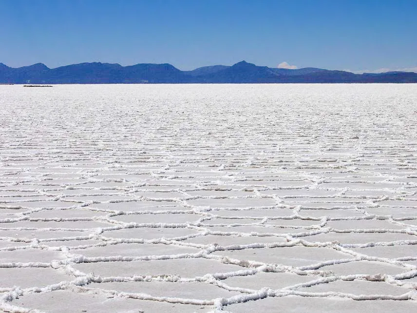
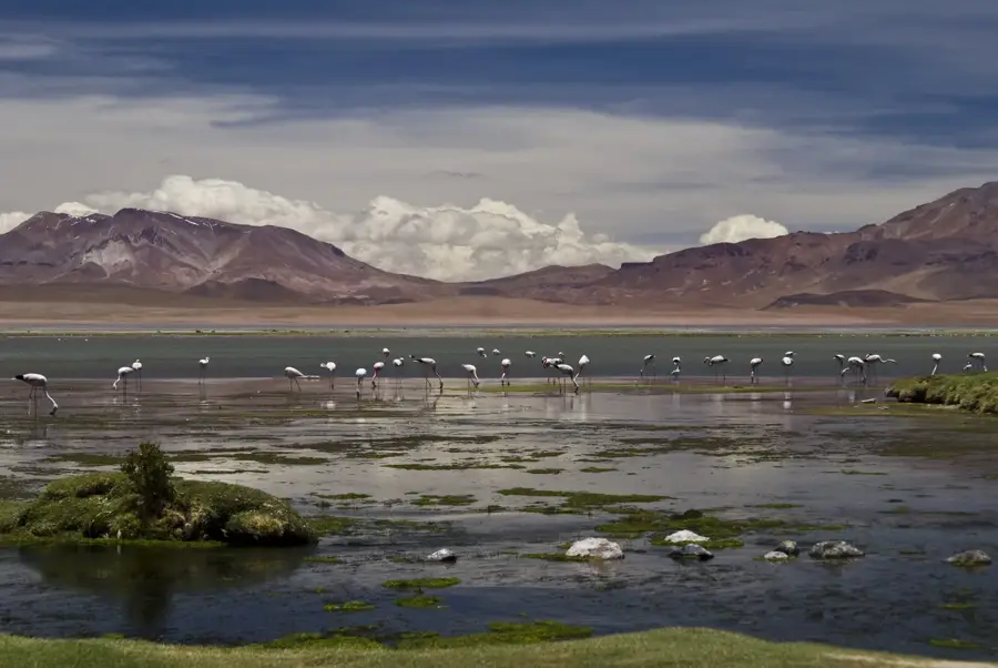
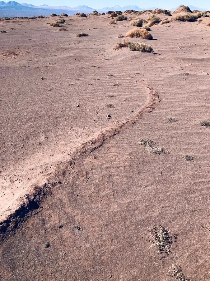
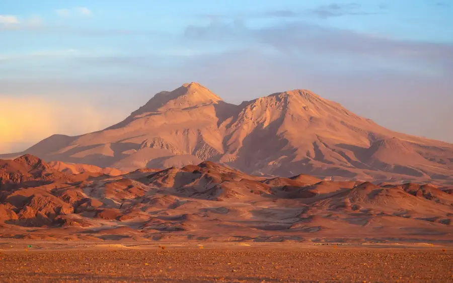
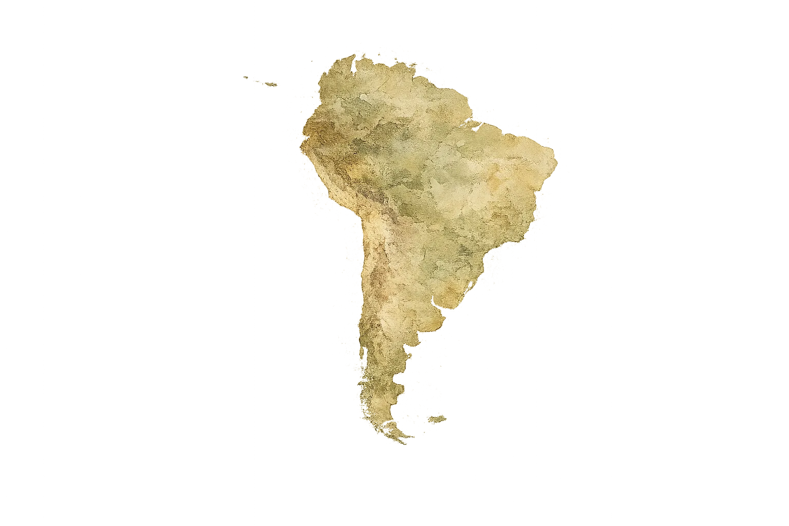
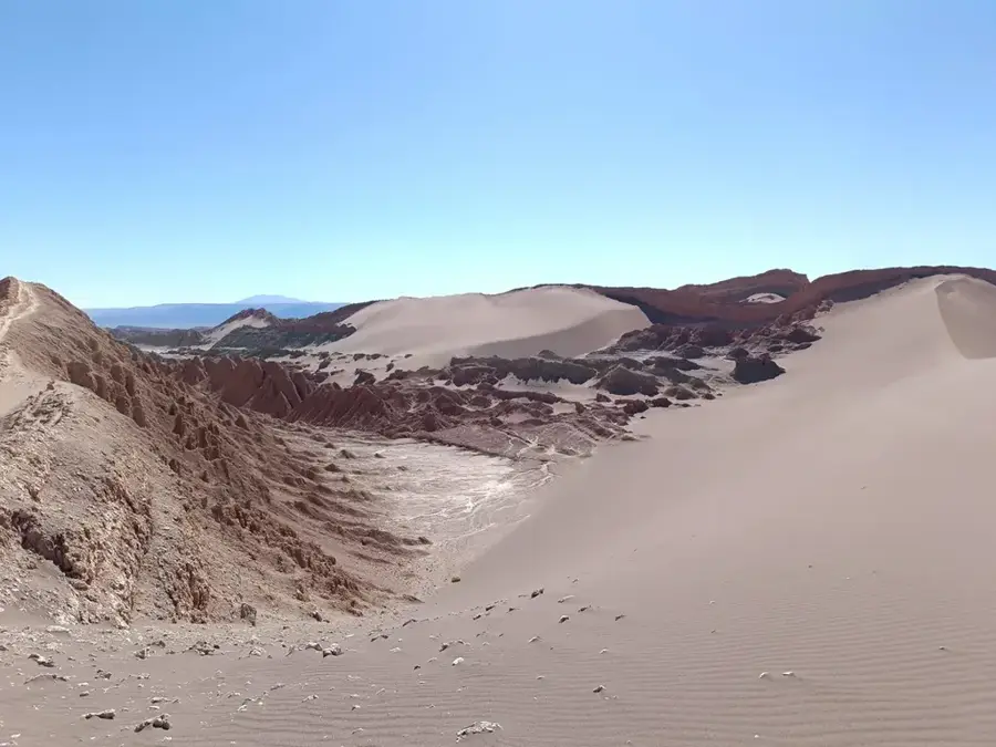
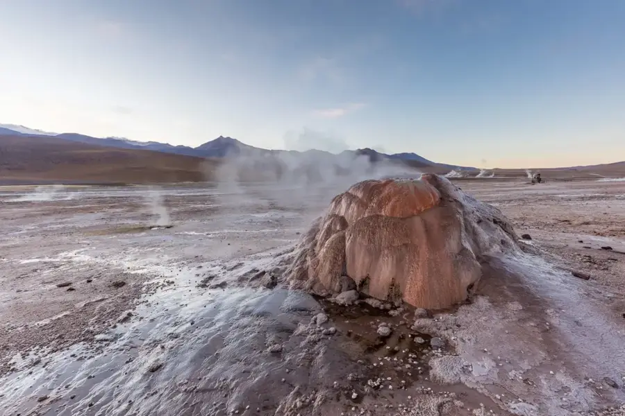
The Atacama Desert in northern Chile is widely regarded as the driest non-polar place on Earth. Spanning approximately 105,000 square kilometers, this high-altitude plateau is positioned between the Chilean Coastal Range and the Andes Mountains. Its extreme aridity is caused by a temperature inversion from the cold Humboldt Current and the rain shadow effect of the Andes, resulting in decades-long dry spells in certain areas. The geography features vast salt flats like the Salar de Atacama, high-altitude geyser fields such as El Tatio, and the eroded landscapes of the Valle de la Luna. Because of its dry air and lack of light pollution, it is a premier destination for global astronomy, hosting the ALMA radio telescope array. Beyond its natural wonders, the Atacama is a vital mining hub, containing some of the world's largest deposits of copper and lithium, which are crucial for modern electronics.
Explore on the map
How well do you know Chile?
Find cities, landscapes and regions in 10 varied challenges on the interactive map.
Your journey, your memory
A postcard from Atacama Desert
Turn your own photo into a personal postcard with a local stamp. Free and no sign-up required.
Create a postcardBest time to visit & climate
The most pleasant time to visit is Jan, Feb, Dec.
| Jan | Feb | Mar | Apr | May | Jun | Jul | Aug | Sep | Oct | Nov | Dec | |
|---|---|---|---|---|---|---|---|---|---|---|---|---|
| Avg °C | 15 | 15 | 14 | 12 | 8 | 7 | 7 | 8 | 10 | 12 | 13 | 15 |
| Rain mm | 5 | 6 | 3 | 2 | 1 | 1 | 1 | 1 | 0 | 1 | 2 | 3 |
📋 Practical info
Geography
Facts
- The desert is estimated to be approximately 15 million years old.
- Parts of the Atacama have had no recorded rainfall for over 400 years.
- Salar de Atacama covers 3,000 square kilometers, Chile's largest salt flat.
- The El Tatio geysers are located at an altitude of 4,320 meters.
- The region contains more than 40% of the world's known lithium reserves.
- The ALMA observatory consists of 66 high-precision radio antennas.
Explore nearby
Notable places around
Route planner — Car & Motorhome
Where do you start? We build the route here, with stops and country notes along the way.
© OpenStreetMap contributors · OpenRouteService
Sights nearby
Frequently asked questions
How to avoid altitude sickness?
When is the best time for stargazing?
What should you definitely pack?
Do you need a 4x4 vehicle?
Are there ATMs in San Pedro de Atacama?
Atacama Desert: where is it located?
Atacama Desert: when is the best time to visit?
Atacama Desert: why is it worth visiting?
Nearby cities
History & landmarks
More places