Plizio Visual Lab
Confederation Bridge

Weather…
Water temperature…
The Confederation Bridge is a monumental feat of modern engineering, connecting Prince Edward Island with mainland New Brunswick across the Northumberland Strait. Stretching 12.9 kilometers (8 miles) in length, it holds the record as the longest bridge in the world over ice-covered waters. Completed in 1997 after four years of construction, the bridge replaced a centuries-old ferry service, providing a permanent link that revolutionized travel and trade for the island. The structure consists of 62 spans supported by massive piers anchored to the bedrock, each equipped with ice shields to withstand the immense pressure of winter pack ice. Its multi-span, post-tensioned concrete box girder design features a curved trajectory, intended to keep drivers alert over the long distance. The bridge is named in honor of the 1864 Charlottetown Conference, where the foundations of the Canadian Confederation were first discussed. It remains a vital economic lifeline for the region, significantly boosting the local agricultural and tourism sectors while standing as a proud symbol of Canadian national infrastructure and ingenuity.
- Location: Canada
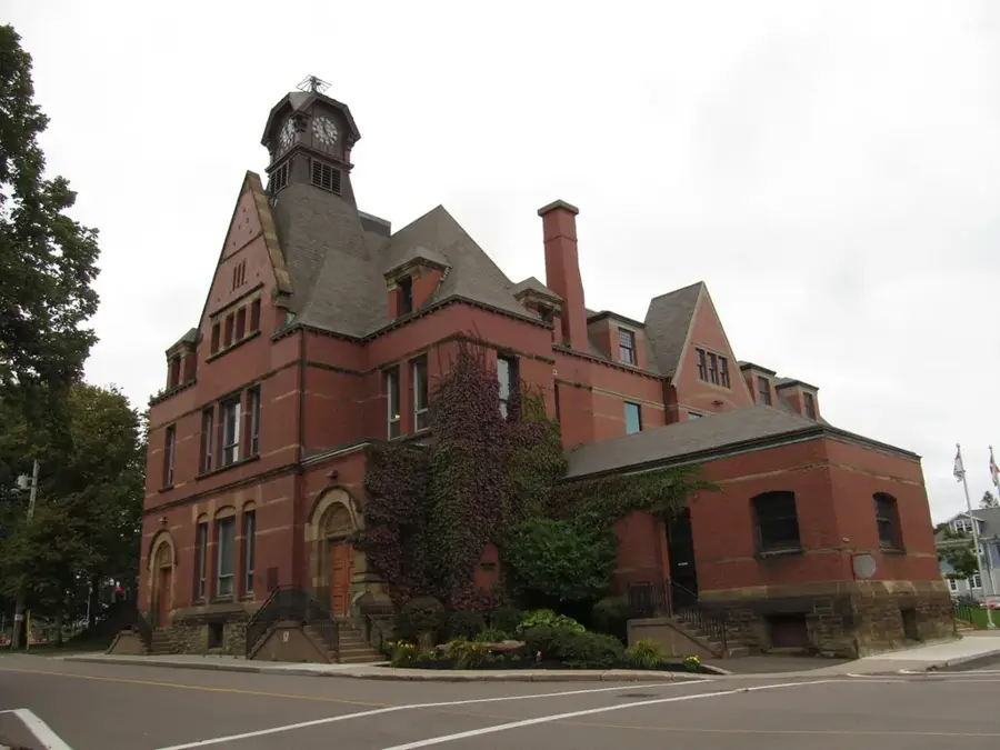
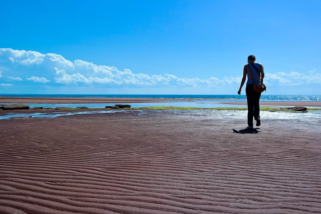
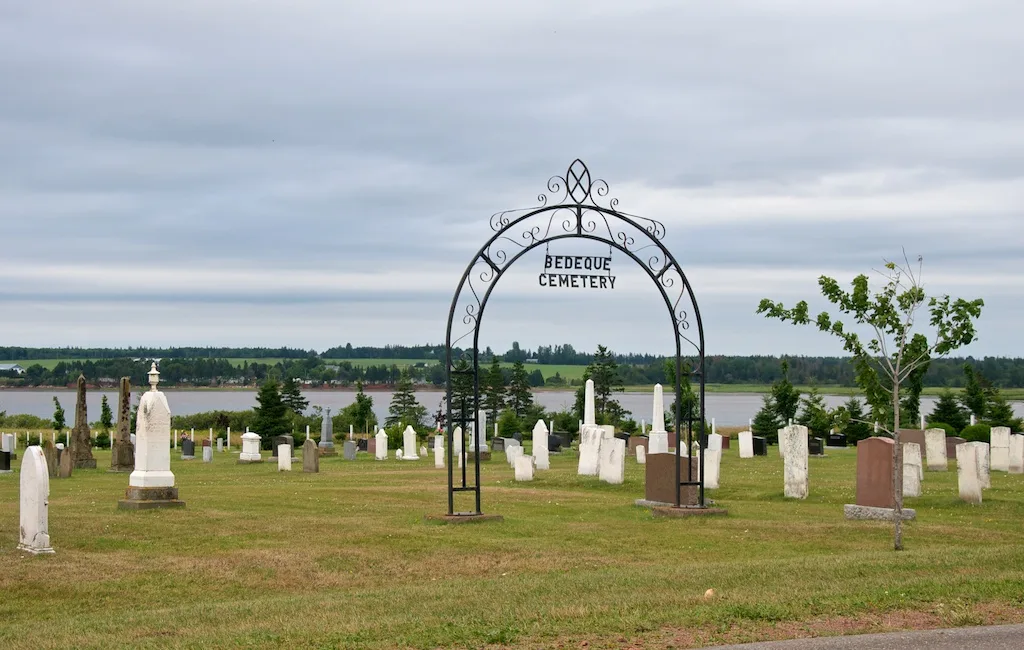
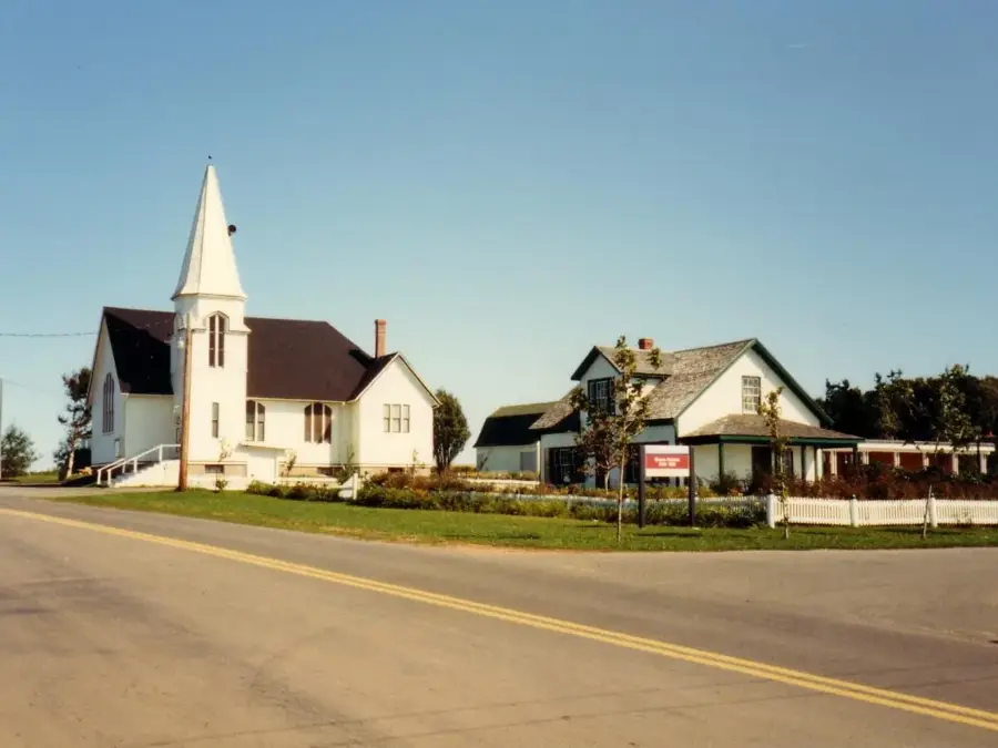
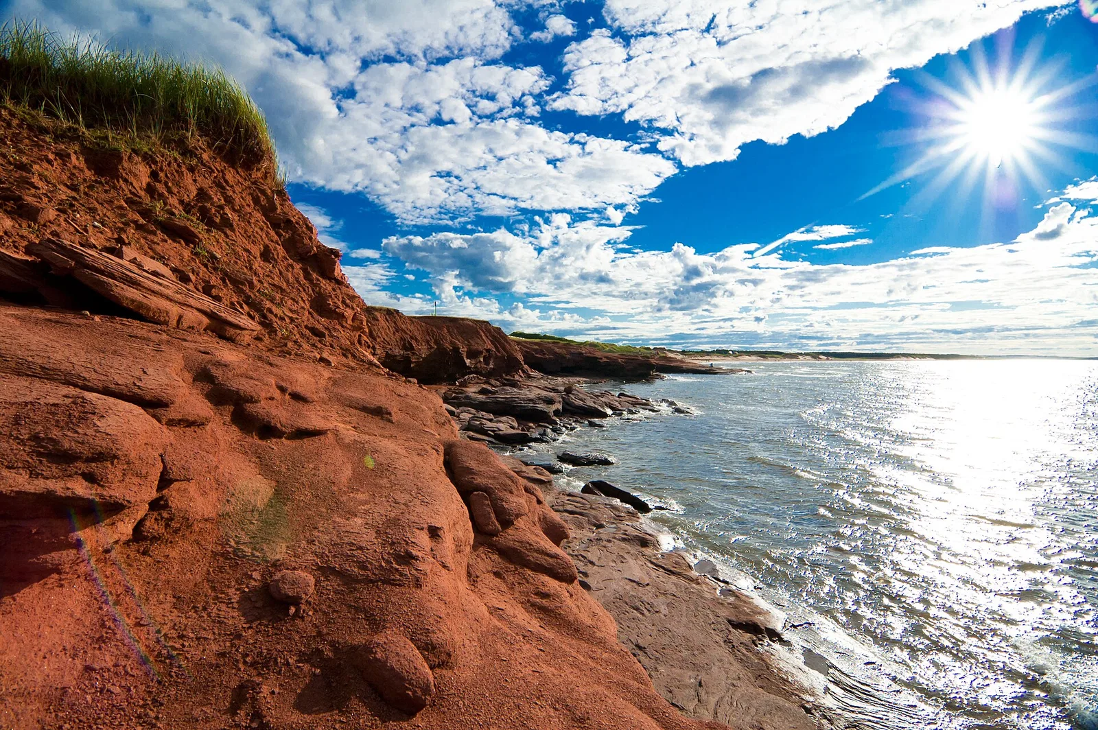
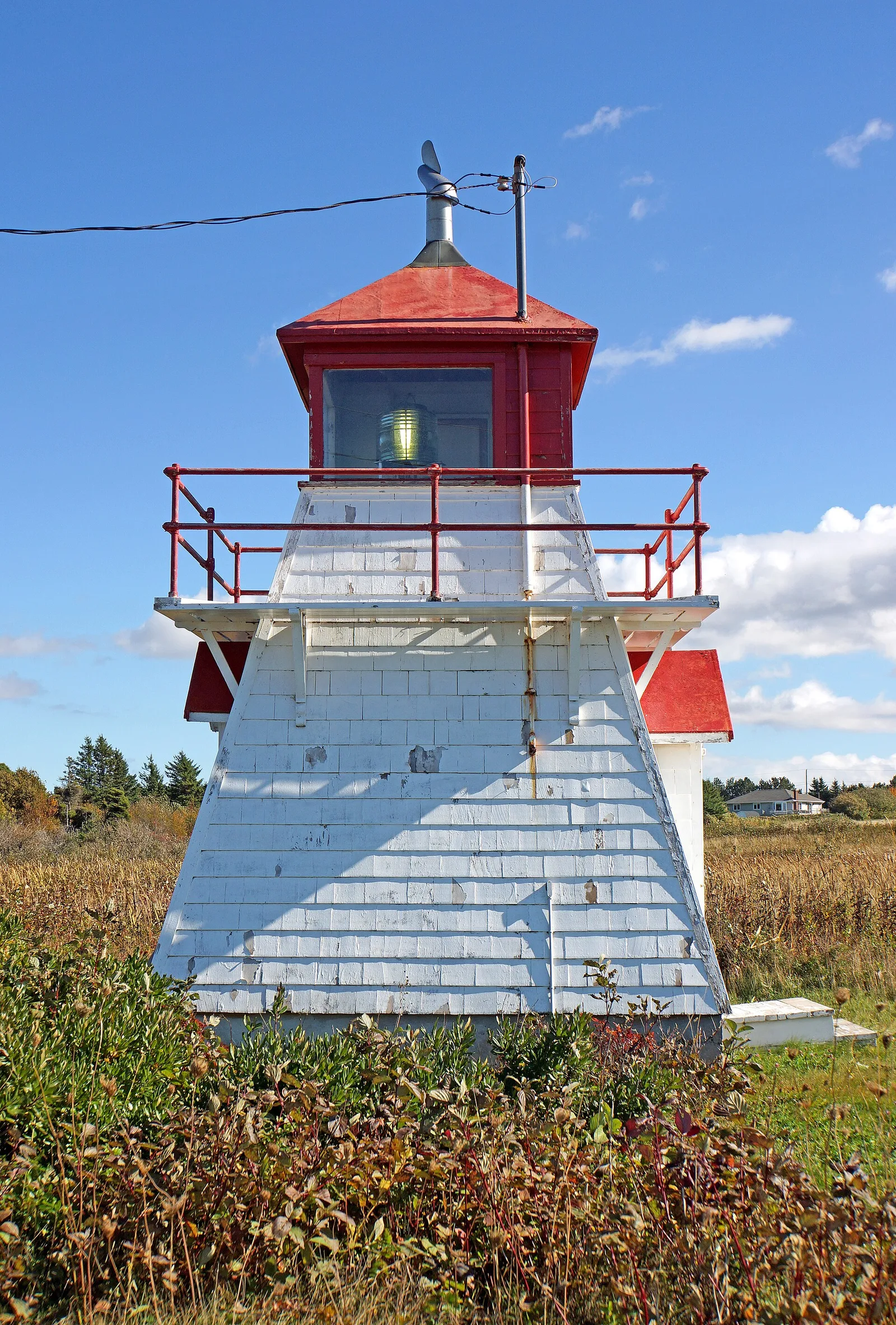
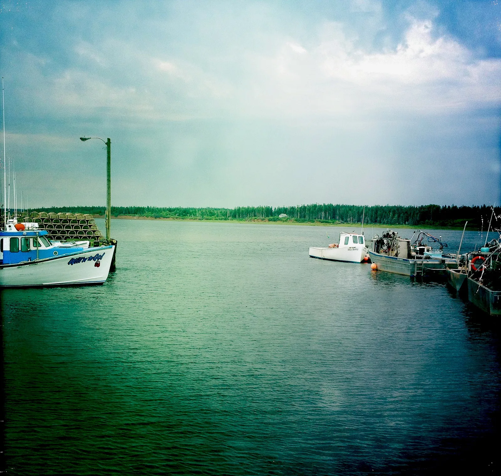
- Top sights: Cape Jourimain National Wildlife Area · Cape Jourimain Exhibit Hall · CN Borden-Carleton Interpretive Centre
- Nearby: Chelton (5 km)
Best time to visit & climate
The most pleasant time to visit is Jul–Sep.
| Jan | Feb | Mar | Apr | May | Jun | Jul | Aug | Sep | Oct | Nov | Dec | |
|---|---|---|---|---|---|---|---|---|---|---|---|---|
| Avg °C | -6 | -6 | -2 | 3 | 8 | 14 | 19 | 19 | 16 | 10 | 4 | -2 |
| Rain mm | 69 | 70 | 68 | 77 | 78 | 93 | 75 | 84 | 90 | 105 | 95 | 96 |
📋 Practical info
Geography
Facts
- The bridge spans 12.9 kilometers (8 miles) and was opened in May 1997.
- It is the longest bridge in the world over ice-forming waters.
- The piers feature special cone-shaped ice shields at the waterline.
- The project used 62 main bridge spans made of high-strength concrete.
- Driving across the bridge takes approximately 10 to 12 minutes.
- Total construction costs reached approximately $1.3 billion CAD.
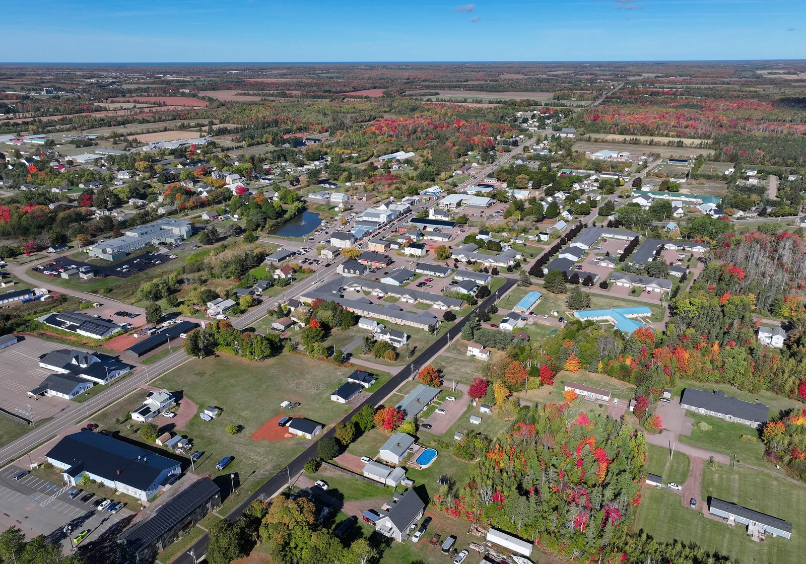
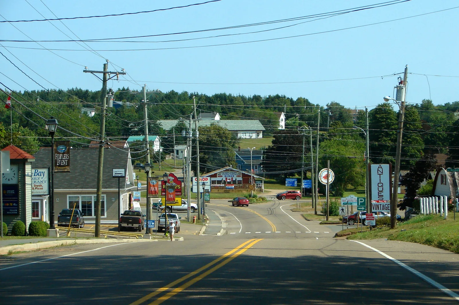
Explore nearby
Notable places around
Route planner — Car & Motorhome
Where do you start? We build the route here, with stops and country notes along the way.
© OpenStreetMap contributors · OpenRouteService
Sights in the town Confederation Bridge (5)
Sights nearby
Frequently asked questions
How long is the Confederation Bridge?
Is there a toll for crossing?
Can pedestrians cross the bridge?
How long does the crossing take by car?
Are there wind restrictions?
Confederation Bridge: where is it located?
Confederation Bridge: what is there to see?
Confederation Bridge: when is the best time to visit?
Confederation Bridge: why is it worth visiting?

Nearby cities


More places