Plizio Visual Lab
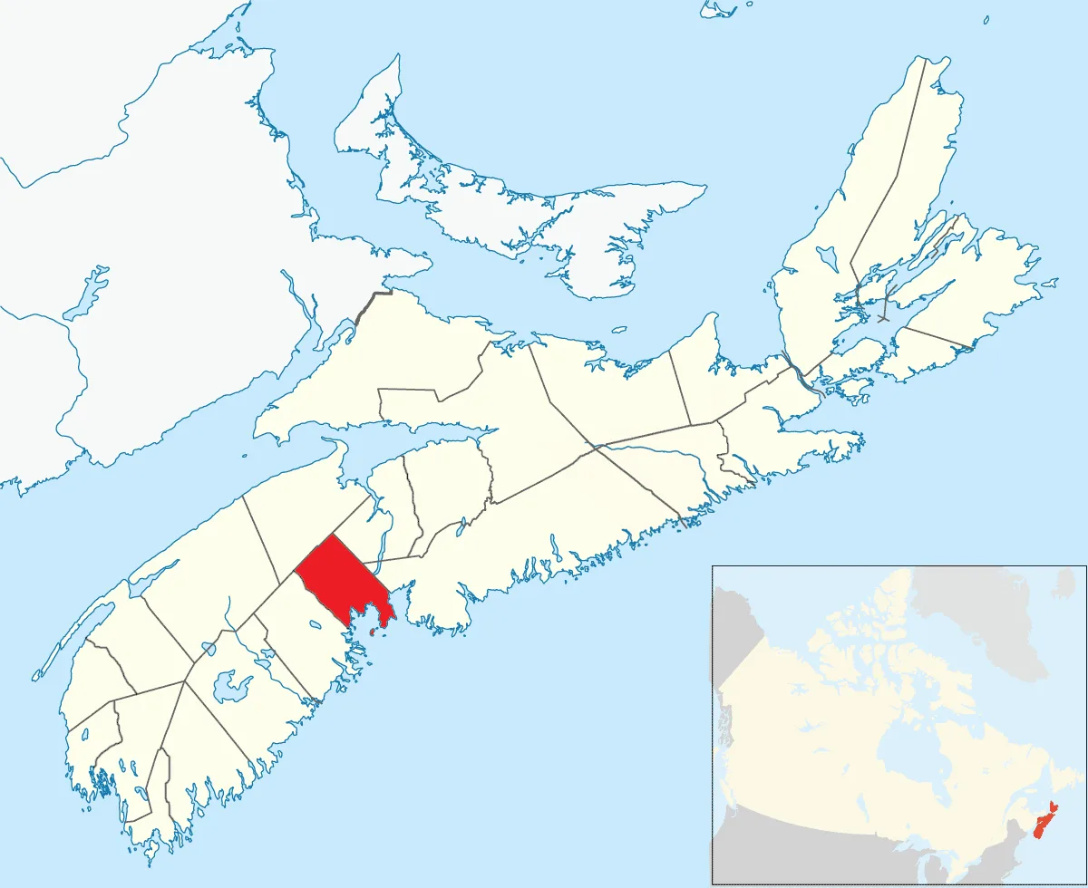
Cape Breton Island
Weather…
Water temperature…
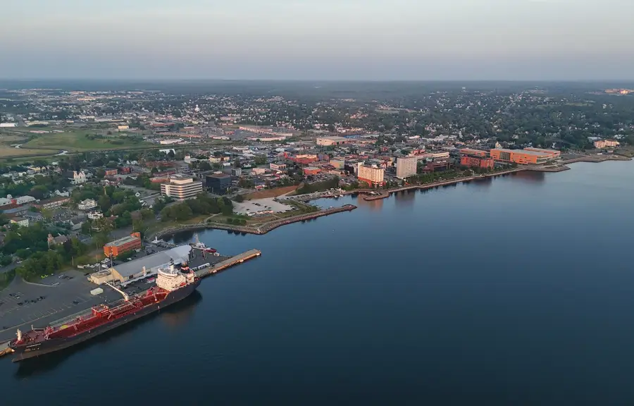
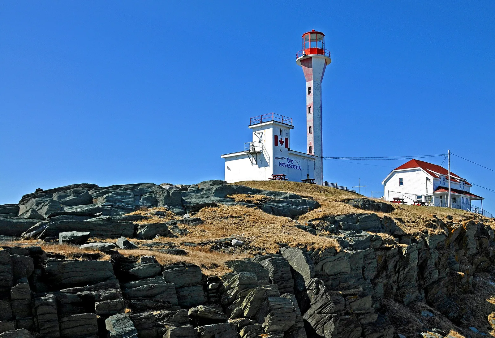
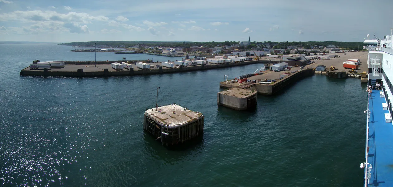
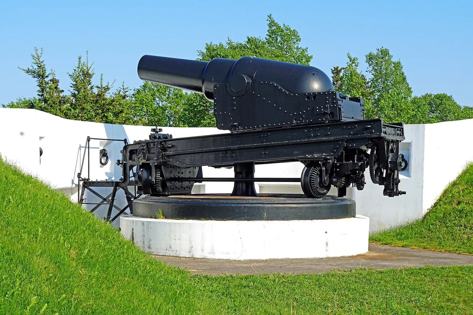
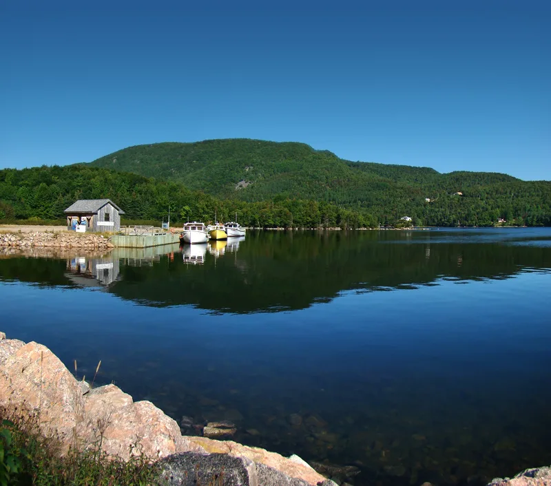
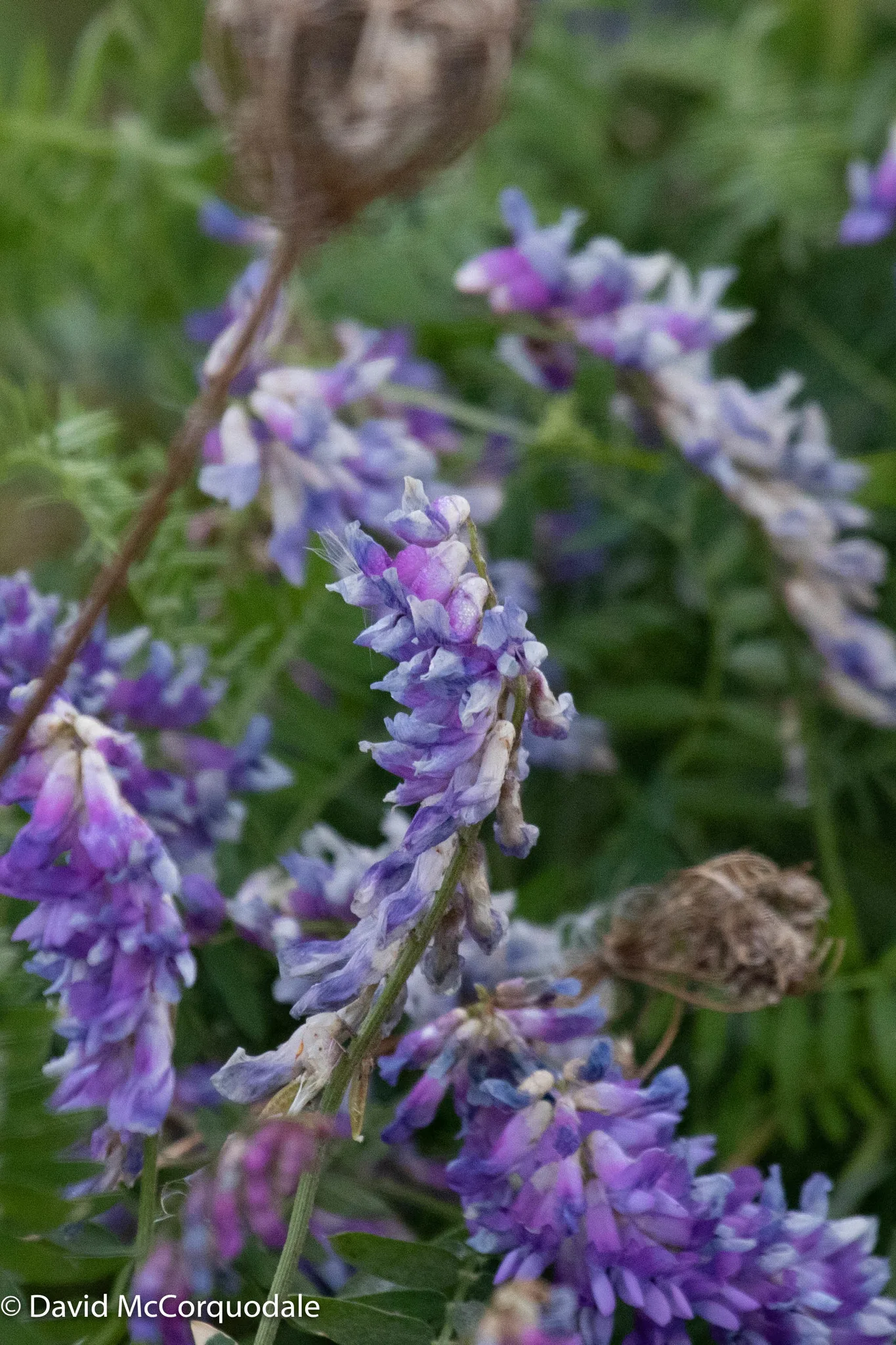
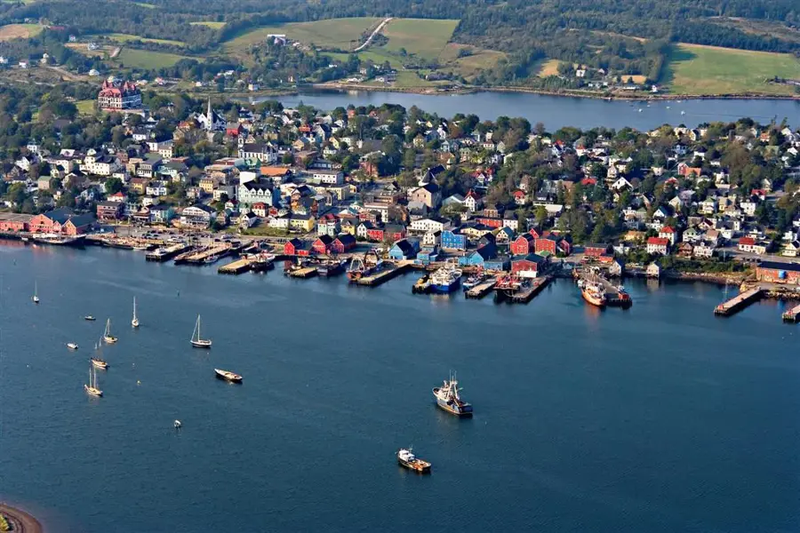
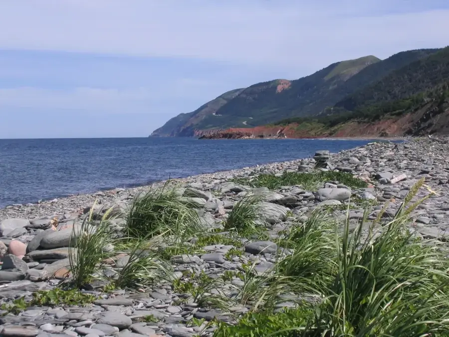
Cape Breton Island is located at the northeastern end of Nova Scotia, separated from the mainland by the Strait of Canso. The island covers an area of 10,311 square kilometers and is geographically defined by the rugged Cape Breton Highlands plateau and the large saltwater Bras d'Or Lake at its center. Established in 1936, Cape Breton Highlands National Park protects the dramatic coastal scenery and boreal forests of the region. Historically, the island served as a strategic outpost for the French colonial empire, evidenced by the massive 18th-century Fortress of Louisbourg. Following the expulsion of the Acadians, the island became a sanctuary for Scottish Gaelic settlers, whose cultural influence persists in the local music and traditions. In modern times, Cape Breton is best known for the Cabot Trail, a scenic highway offering sweeping views of the Gulf of St. Lawrence. The island's economy, formerly based on coal mining and steel, has shifted significantly toward tourism and cultural heritage.
- Location: Canada
- Top sights: Spotted Mountain · North River Wilderness Area
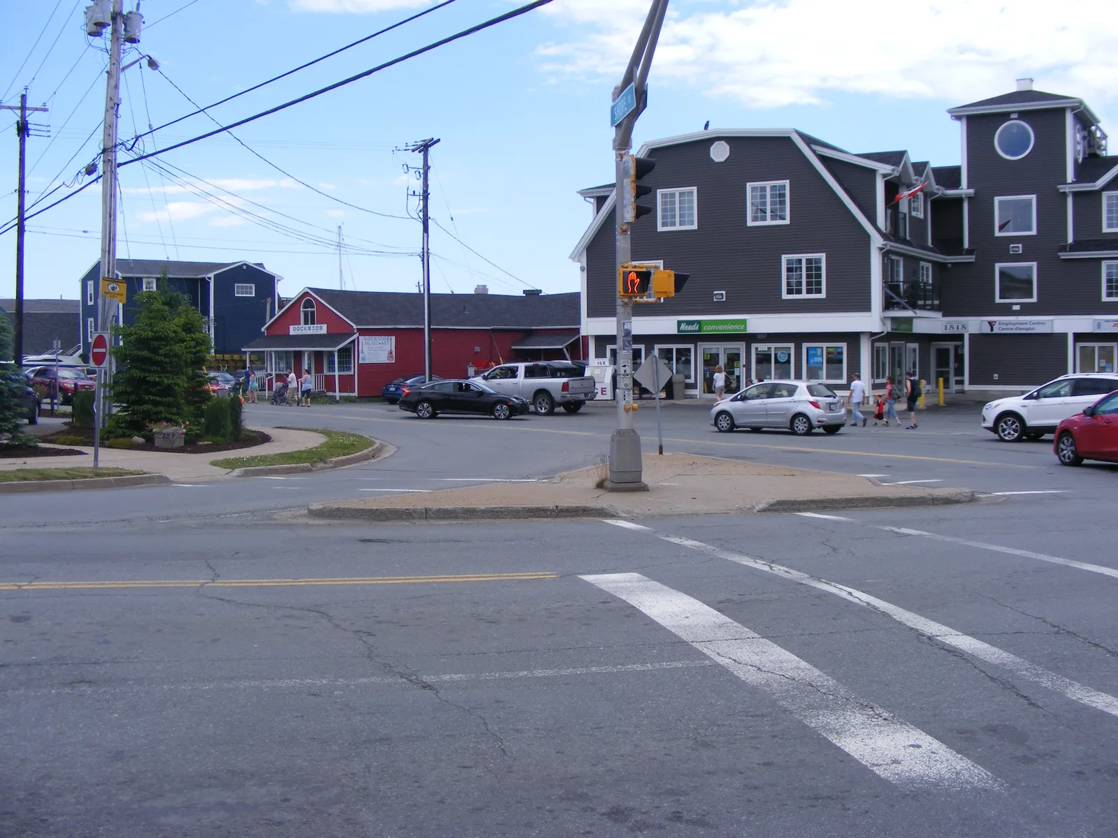
- Nearby: Baddeck (8 km)
📋 Practical info
Geography
Facts
- The total area of the island is 10,311 square kilometers
- Bras d'Or Lake covers an area of 1,099 square kilometers
- The Fortress of Louisbourg was established in 1713
- The highest point is White Hill at 532 meters elevation
- The Cabot Trail scenic loop is 298 kilometers long
- Officially became a British colony in the year 1763
Explore nearby
Notable places around
Route planner — Car & Motorhome
Where do you start? We build the route here, with stops and country notes along the way.
© OpenStreetMap contributors · OpenRouteService
Sights in the town Cape Breton Island (2)
Sights nearby
Frequently asked questions
What is the Cabot Trail?
What culture is present on the island?
Can you see whales there?
Is there a national park?
When is the fall foliage best?
Cape Breton Island: where is it located?
Cape Breton Island: what is there to see?
Cape Breton Island: why is it worth visiting?

Nearby cities