Plizio Visual Lab
Monatélé

ℹ️Practical info — Monatélé
▾
🌤 Weather — 5 days
📍 Nearby
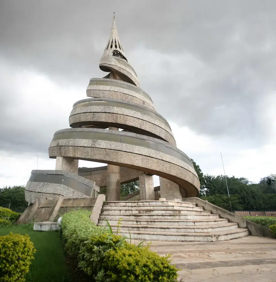
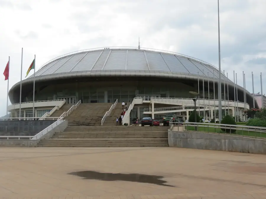
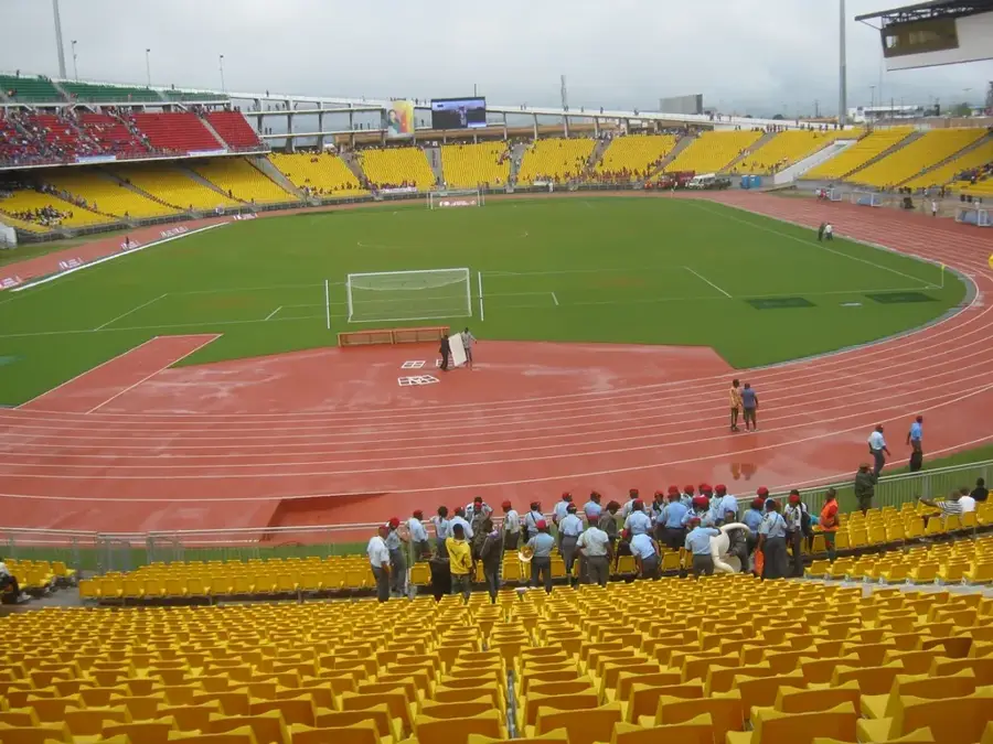
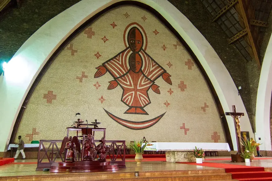
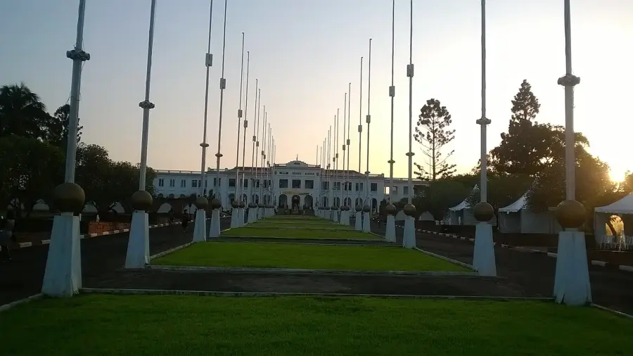
Sights nearby
💡 Tips
- Explore the town early in the morning when the humidity from the surrounding dense forests is lowest.
- Motorcycle taxis are the main way to get around; agree on the fare before hopping on.
- Carry enough cash, as ATMs may be scarce or unreliable.
- Respect the local pace of life; service in eateries can take longer than you might expect.
🍽 Food
Find this traditional dish at small eateries near the central market.
Best enjoyed fresh from roadside stalls in the evening.
Buy seasonal fruits directly from local vendors in the town center.
🛍 Shopping · 🧘 Quiet spots
The main spot to buy fresh forest produce and household items.
Look for small artisan stalls offering traditional Cameroonian woodwork.
Take a peaceful stroll along the river to watch the sunset.
Quiet trails just outside town well-suited for observing local nature.
Water temperature…
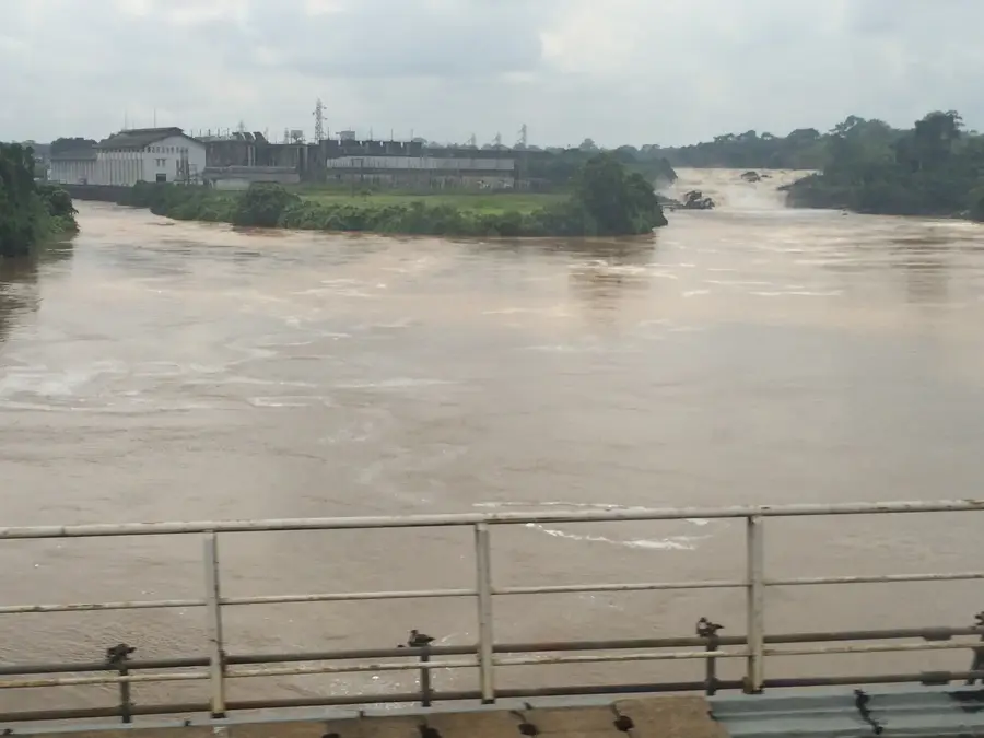
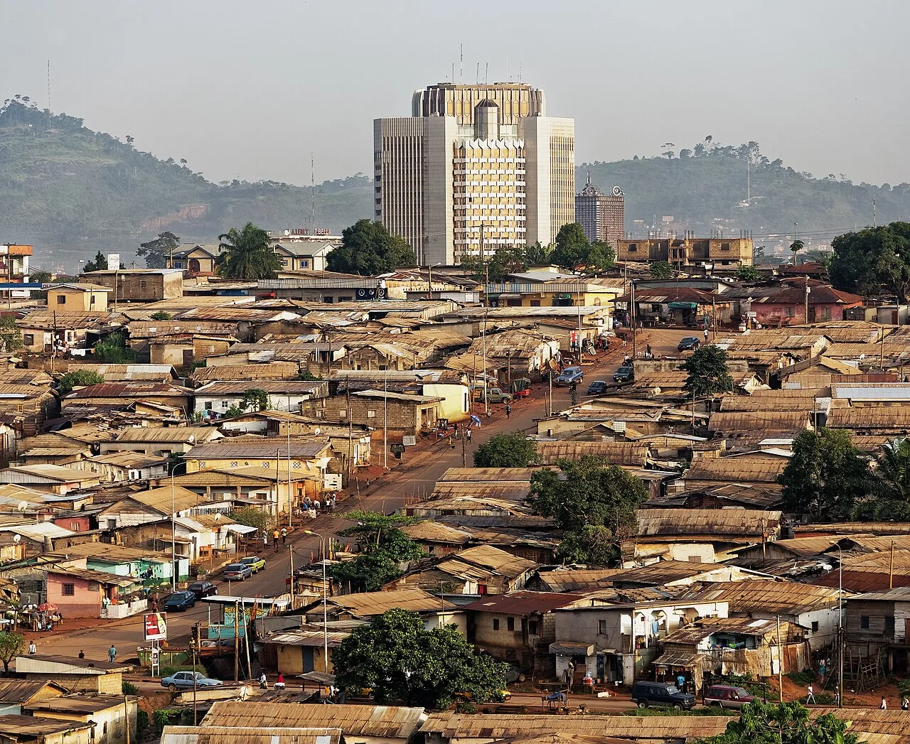
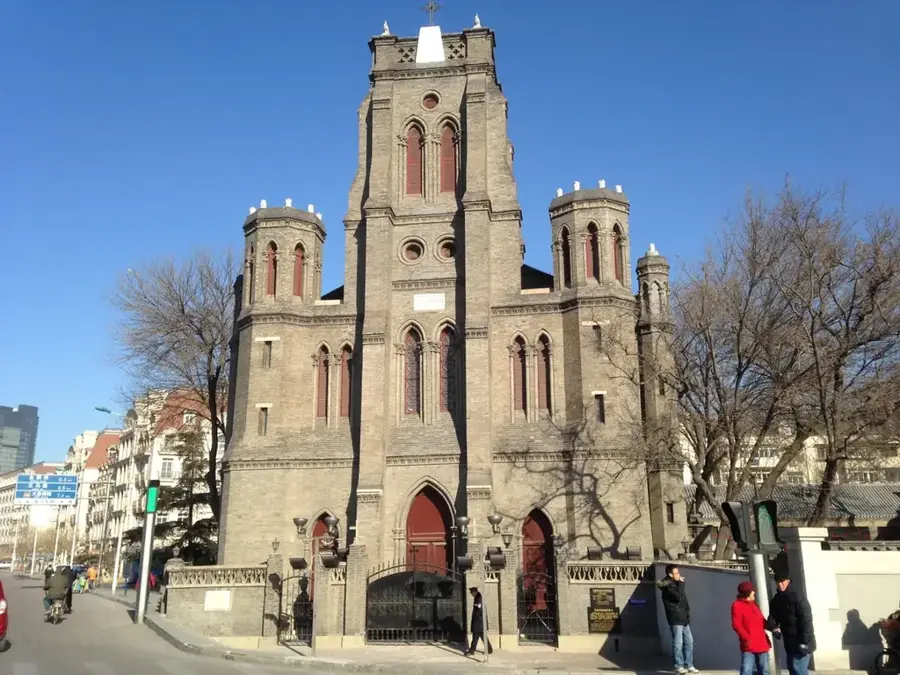
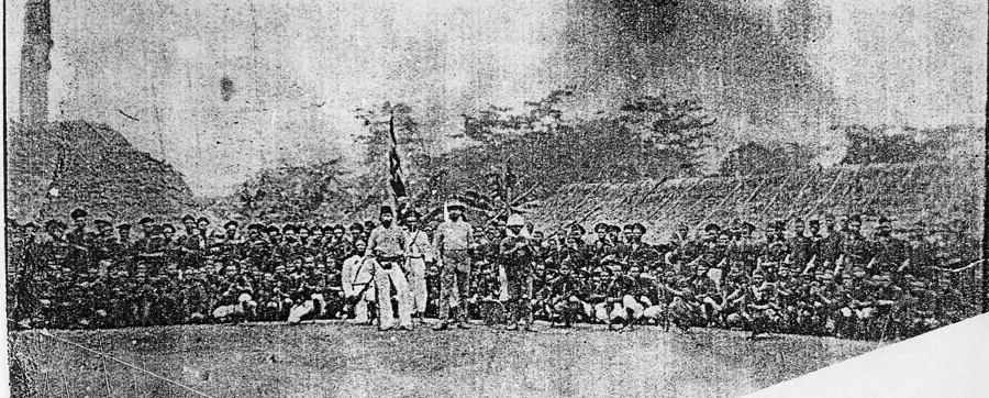
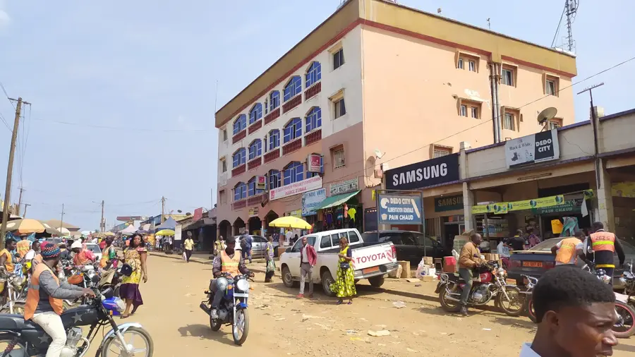
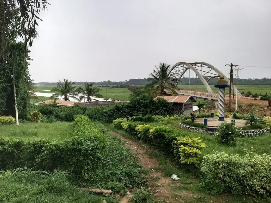
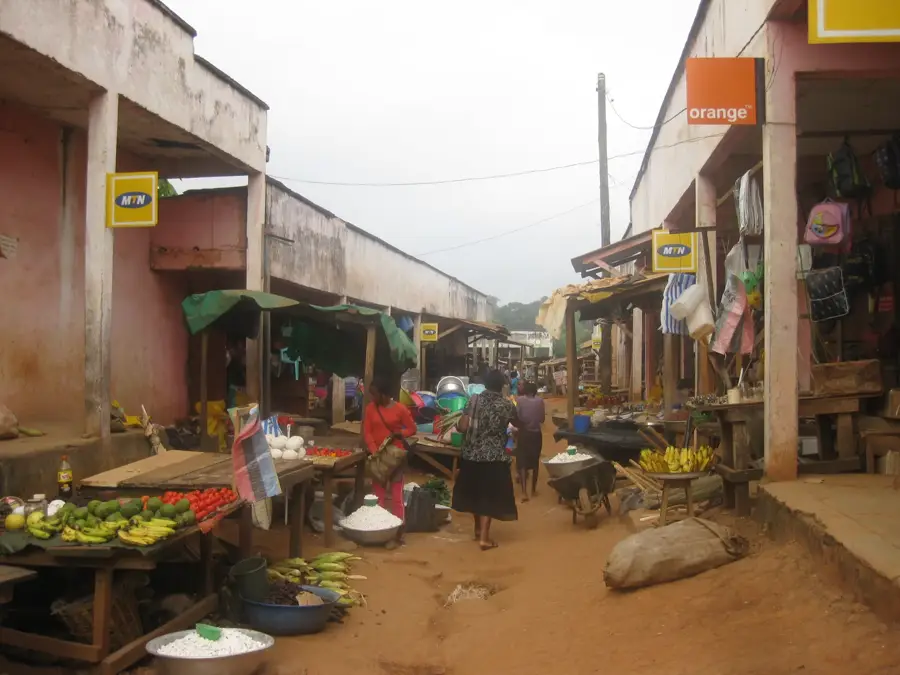
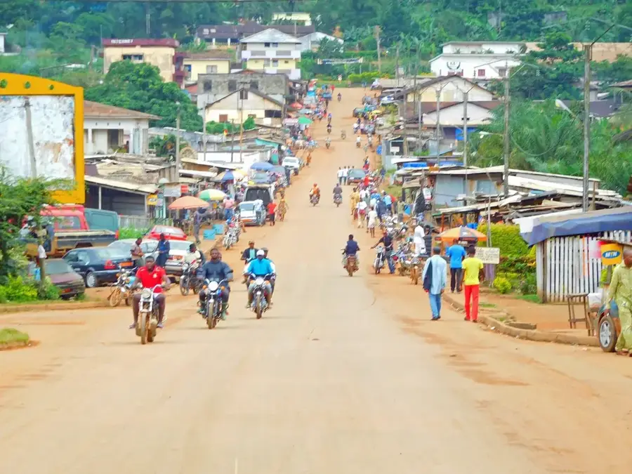
Monatélé is the capital of Lekié Department in the Centre Region and lies about 50 kilometres north-west of Yaoundé. Its roughly 20 000 inhabitants belong predominantly to the Eton subgroup of the Beti, a Bantu people known for intensive farming, traditional bilanga dances and artistic wood carving. The surrounding Lekié plain is one of Cameroon's most densely populated rural areas, with hundreds of villages, parishes and schools. The economy rests on cocoa, maize, cassava, groundnuts and poultry farming, supplemented by a growing food-processing industry. The town hosts a Catholic mission and several educational institutions. Highlights include the Lekié valley with its waterfalls, Saint-Charles-Lwanga Cathedral and the nearby Mefou Wildlife Park with chimpanzees and mandrills. The humid tropical climate with two rainy seasons keeps the landscape green year-round and allows two harvests per year.
- Location: Cameroon
- Nearby: Bafia (35 km)
Best time to visit & climate
The most pleasant time to visit is Jan, Feb, Dec.
| Jan | Feb | Mar | Apr | May | Jun | Jul | Aug | Sep | Oct | Nov | Dec | |
|---|---|---|---|---|---|---|---|---|---|---|---|---|
| Avg °C | 24 | 26 | 25 | 25 | 25 | 24 | 23 | 23 | 23 | 24 | 24 | 24 |
| Rain mm | 13 | 40 | 112 | 159 | 146 | 127 | 126 | 180 | 209 | 223 | 113 | 16 |
Geography
Facts
- Capital of the Lekié department
- Region: Centre
- Riverside town on the Sanaga
- Major cocoa production center
- Important market for agricultural goods
- Located near Yaoundé
Explore nearby
Notable places around
Route planner — Car & Motorhome
Where do you start? We build the route here, with stops and country notes along the way.
© OpenStreetMap contributors · OpenRouteService
Frequently asked questions
What makes Monatélé special?
Can you swim in the Sanaga River near Monatélé?
How far is Monatélé from Yaoundé?
Are there accommodations in Monatélé?
What role does agriculture play in Monatélé?
Monatélé: where is it located?
Monatélé: when is the best time to visit?
Monatélé: why is it worth visiting?

Nearby cities

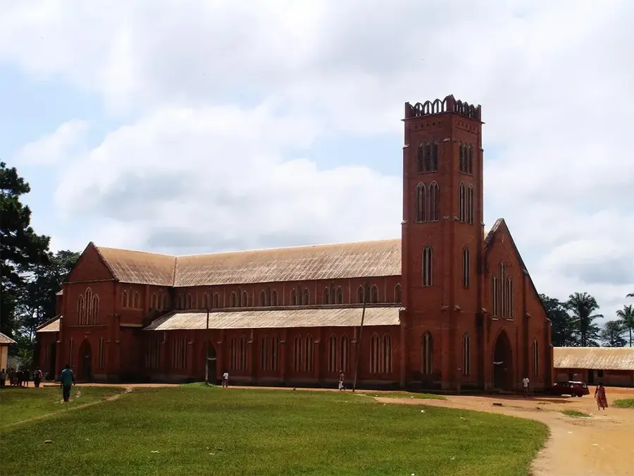
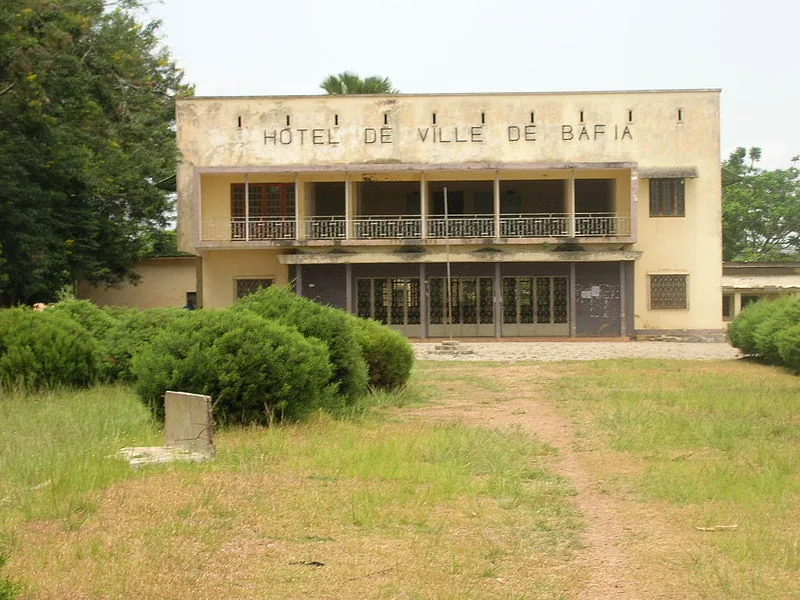

History & landmarks
More places