Plizio Visual Lab
Mugamba Highlands

Weather…
Water temperature…
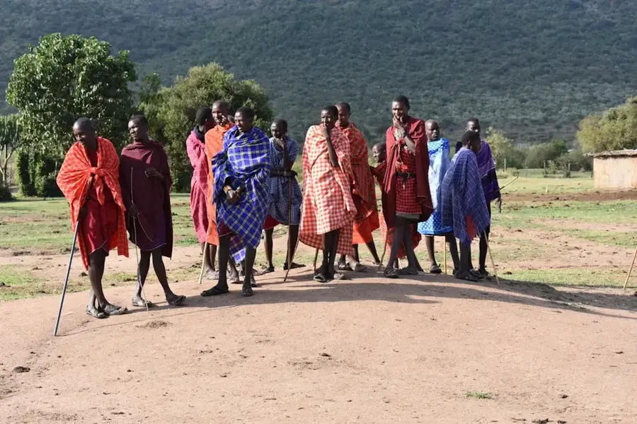
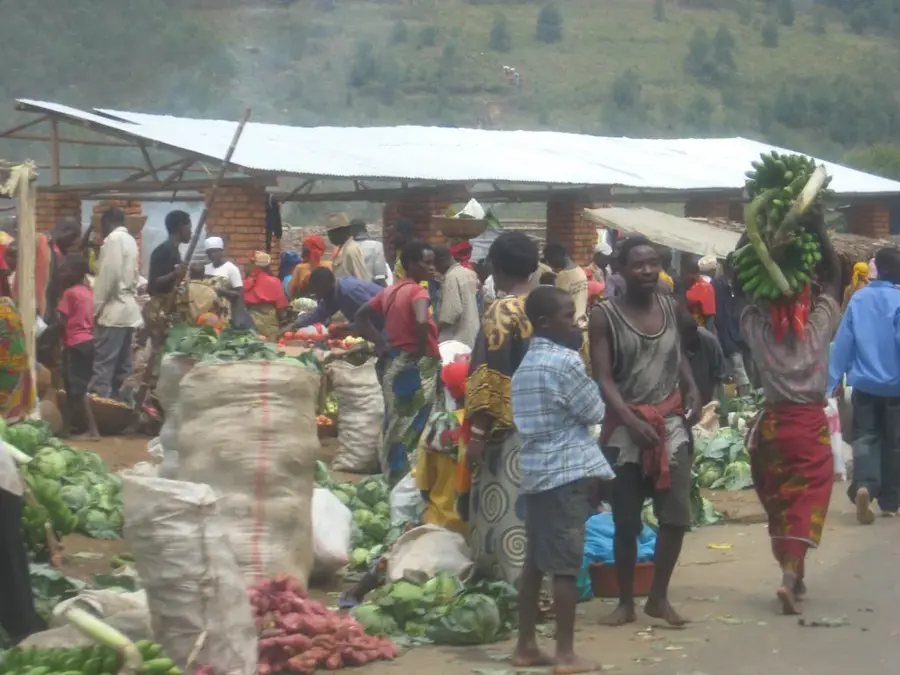
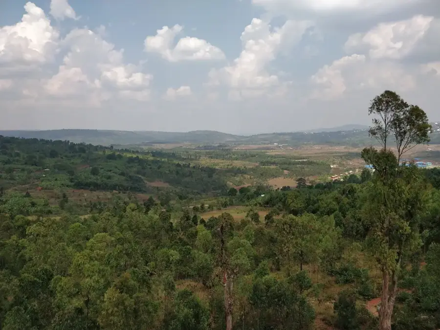
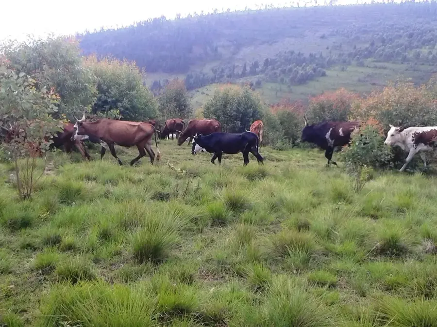
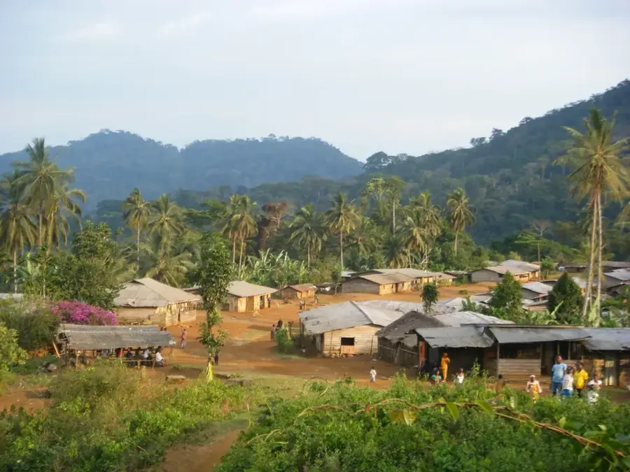
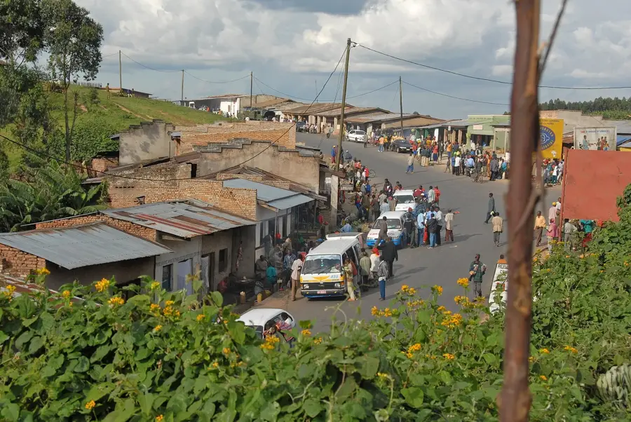
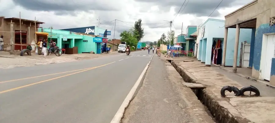
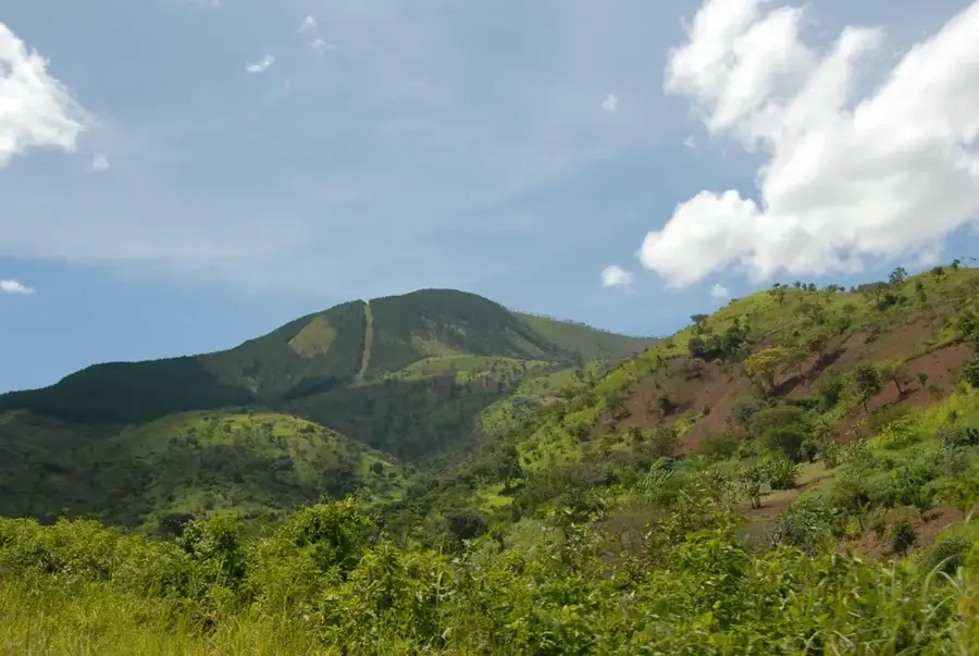
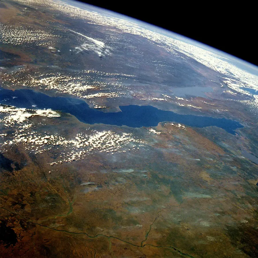
The Mugamba Highlands stretch along the Congo-Nile divide in western Burundi, forming a narrow mountain chain with elevations frequently exceeding 2,300 meters. This region is characterized by a cool, misty climate and high annual rainfall, setting it apart from the warmer lowlands. The landscape consists of rolling hills and steep slopes that are geologically composed of ancient Precambrian basement rocks uplifted by tectonic forces. Mugamba holds significant geographical prestige as it contains the southernmost source of the Nile River, located near Rutovu. The high altitude and consistent moisture make it a good environment for large-scale tea plantations and traditional cattle ranching, which remains a cornerstone of local culture. Historically, the rugged terrain of Mugamba provided a strategic advantage for the Burundian monarchy, serving as a political stronghold. Despite the challenges of steep-slope farming, the region is densely populated, supported by fertile soils and a climate that allows for multiple harvest cycles per year.
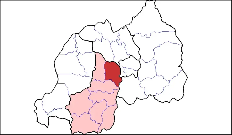
- Location: Burundi
- Nearby: Ndava (9 km)
Best time to visit & climate
The most pleasant time to visit is Jun–Aug.
| Jan | Feb | Mar | Apr | May | Jun | Jul | Aug | Sep | Oct | Nov | Dec | |
|---|---|---|---|---|---|---|---|---|---|---|---|---|
| Avg °C | 21 | 22 | 22 | 21 | 21 | 20 | 20 | 21 | 22 | 22 | 21 | 21 |
| Rain mm | 202 | 168 | 219 | 213 | 94 | 29 | 15 | 42 | 94 | 172 | 341 | 219 |
📋 Practical info
Geography
Facts
- Includes Mount Heha, Burundi's highest peak at 2,670 meters.
- Positioned directly on the Congo-Nile continental divide.
- Site of the southernmost source of the Nile River in Rutovu.
- Primary zone for high-quality tea production and processing plants.
- Mean annual temperatures range between 15°C and 18°C.
- Culturally significant for its historical association with royalty and cattle.
Explore nearby
Notable places around
Route planner — Car & Motorhome
Where do you start? We build the route here, with stops and country notes along the way.
© OpenStreetMap contributors · OpenRouteService
Sights in the town Mugamba Highlands (1)
Sights nearby
Frequently asked questions
What characterizes the Mugamba Highland?
What animals are kept there?
What is the landscape like in Mugamba?
When is it coldest there?
Are there any tourist attractions there?
Mugamba Highlands: where is it located?
Mugamba Highlands: when is the best time to visit?
Mugamba Highlands: why is it worth visiting?

Nearby cities

History & landmarks
Nature
More places