Plizio Visual Lab
Bogandé Depression

Weather…
Water temperature…
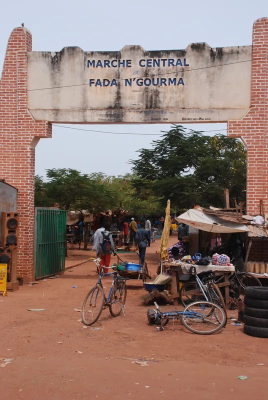
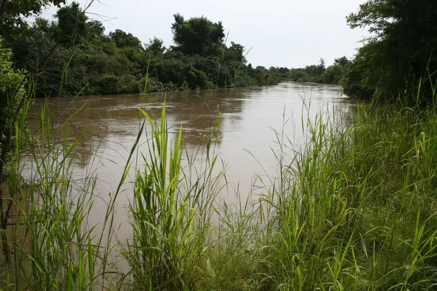
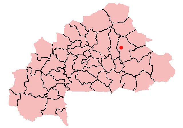
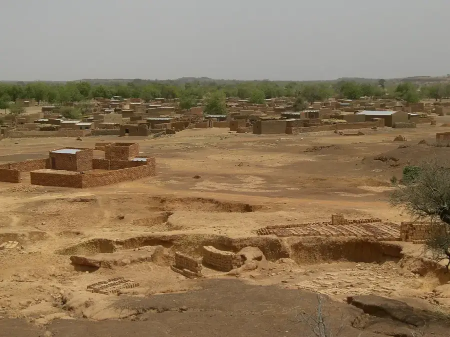
The Bogandé Depression is located in eastern Burkina Faso within the Gnagna Province and is a characteristic lowland area of the Liptako-Gourma region. Geomorphologically, it is a flat depression formed through tectonic subsidence and prolonged erosion processes. During the rainy season, large amounts of surface water accumulate in the depression, leading to the formation of temporary lakes and wetlands. This seasonal flooding makes the soil particularly fertile, enabling intensive agriculture where millet, sorghum, and peanuts are primarily grown. The depression also serves as a vital sanctuary for local wildlife and as a watering hole for the livestock of nomadic Peul herders. In the dry season, the area transforms into a dusty plain where vegetation is limited to resilient acacias and shrubs. Historically, the region is closely linked to the culture of the Gulmancé people, who have utilized the resources of the depression for centuries.
- Location: Burkina Faso
- Top sights: Gnagna Province · Bogandé Department · Bogandé
- Nearby: Boulsa (60 km)
Best time to visit & climate
The most pleasant time to visit is Jan, Nov, Dec.
| Jan | Feb | Mar | Apr | May | Jun | Jul | Aug | Sep | Oct | Nov | Dec | |
|---|---|---|---|---|---|---|---|---|---|---|---|---|
| Avg °C | 23 | 27 | 30 | 33 | 33 | 31 | 28 | 27 | 27 | 28 | 26 | 24 |
| Rain mm | 1 | 1 | 3 | 13 | 38 | 101 | 159 | 237 | 118 | 34 | 0 | 0 |
📋 Practical info
Geography
Facts
- The depression is located in Gnagna Province.
- It belongs to the Liptako-Gourma region.
- Sorghum and millet are the main agricultural products.
- Temporary lakes form during the rainy season.
- The region is a center of Gulmancé culture.
- The average elevation is between 200-250 meters.
Explore nearby
Notable places around
Route planner — Car & Motorhome
Where do you start? We build the route here, with stops and country notes along the way.
© OpenStreetMap contributors · OpenRouteService
Sights in the town Bogandé Depression (3)
Sights nearby
Frequently asked questions
What characterizes the Bogandé depression?
Is the region agriculturally active?
What is the climate like?
Are there natural obstacles?
What should you bring?
Bogandé Depression: where is it located?
Bogandé Depression: what is there to see?
Bogandé Depression: when is the best time to visit?
Bogandé Depression: why is it worth visiting?

Nearby cities
More places