Plizio Visual Lab
Gayéri

ℹ️Practical info — Gayéri
▾
🌤 Weather — 5 days
📍 Nearby
Sights nearby
💡 Tips
- Infrastructure is basic; ensure you have a robust 4x4 vehicle if traveling outside the main town.
- Cash is king; there are very limited banking facilities, so bring enough CFA francs from a larger city.
- The dry season is dusty; carrying a scarf to cover your nose and mouth during windy days is highly recommended.
- Always check current travel advisories and local security conditions before planning a visit to this eastern region.
🍽 Food
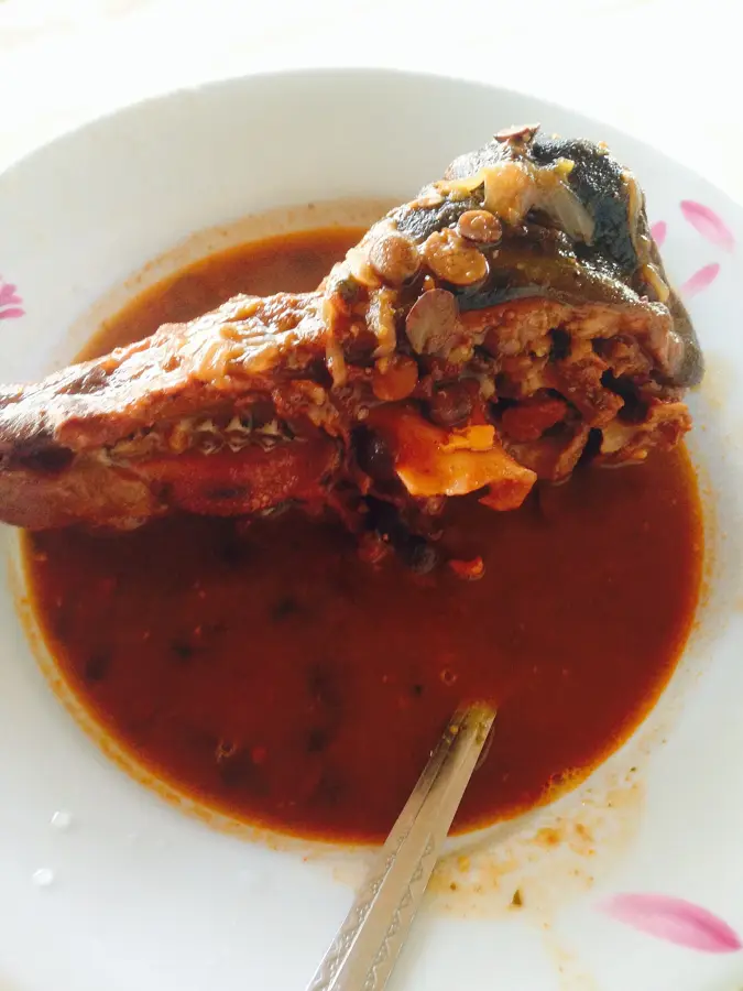
The traditional Burkinabé staple made of millet or sorghum paste, served with a tangy leaf sauce at local stalls.
Locally raised, free-range chicken, typically grilled over open flames and seasoned with local spices.
A refreshing local snack made of pounded millet mixed with fresh milk, available in the morning.
🛍 Shopping · 🧘 Quiet spots
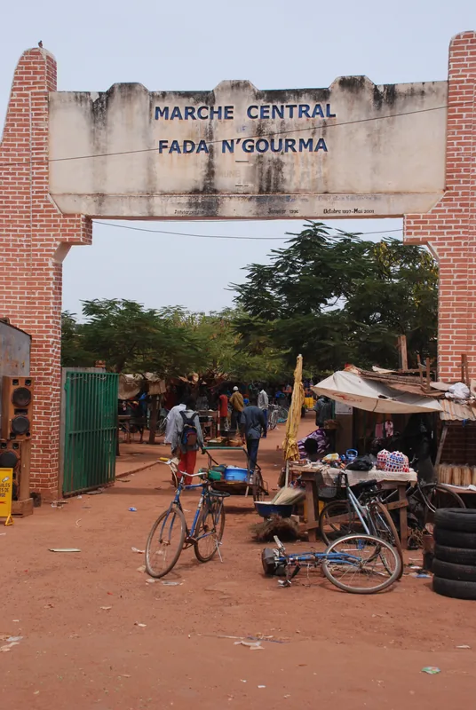
Experience the spirited agricultural market where locals trade livestock, grains, and daily goods.
You may find basic leather goods or metalwork crafted by local artisans in the market area.
Take a careful walk on the edge of town to experience the vast, quiet landscapes of the eastern Sahel.
Rest under the large, old trees in the village center where locals gather for quiet conversation.
Water temperature…
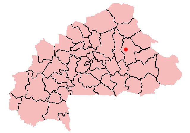
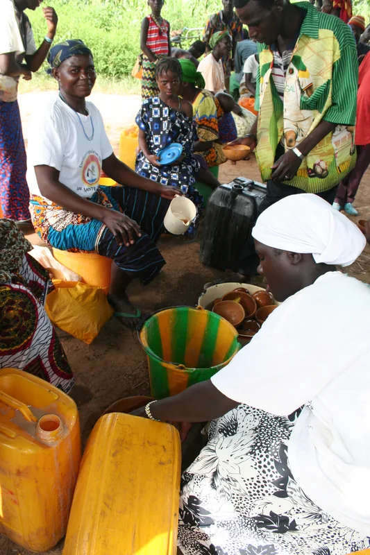
Gayéri is the administrative center of Komondjari Province in the Est Region of Burkina Faso, located in a remote but agriculturally significant area. The town is characterized by a dry savanna climate, which significantly influences the lifestyle of the resident population. Historically, Gayéri has been an important site for exchange between various communities in the region, particularly the Gulmancé and the Fulani. The local economy is primarily based on farming, with sorghum, millet, and cotton being the main products, as well as extensive livestock rearing. Geographically, Gayéri lies in a zone marked by vast plains and scattered rock formations, giving the region a distinct scenic appeal. Despite its distance from major urban centers, the town plays a crucial role in providing basic government services to the inhabitants of Komondjari Province. The town's infrastructure is being successively expanded, with a focus on education and improving water supply. In recent years, however, security issues have hindered regional mobility and economic development. Gayéri remains a cultural anchor where traditional festivals and rites of the Gulmancé culture are preserved. The town also serves as a base for various development programs aimed at increasing agricultural productivity under Sahelian conditions.
- Location: Burkina Faso
- Nearby: Fada N'Gourma (65 km)
- Population: ~15.170 (2026)
Best time to visit & climate
The most pleasant time to visit is Jan, Nov, Dec.
| Jan | Feb | Mar | Apr | May | Jun | Jul | Aug | Sep | Oct | Nov | Dec | |
|---|---|---|---|---|---|---|---|---|---|---|---|---|
| Avg °C | 24 | 27 | 31 | 33 | 32 | 30 | 28 | 26 | 27 | 28 | 27 | 24 |
| Rain mm | 0 | 3 | 5 | 19 | 53 | 110 | 161 | 236 | 125 | 46 | 1 | 0 |
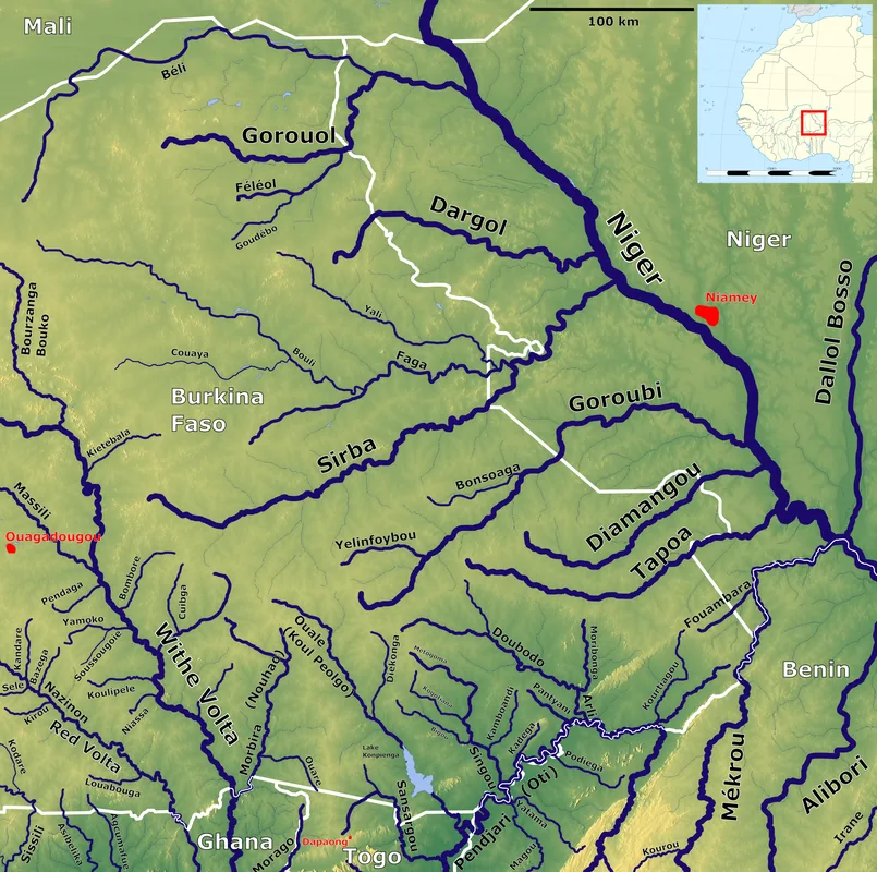
Geography
Facts
- Gayéri is the capital of Komondjari Province.
- The town is located in the eastern region of Burkina Faso.
- The Gulmancé culture shapes the social fabric of the town.
- Gayéri is a significant center for cattle ranching.
- The region is known for the cultivation of white sorghum.
- Gayéri is located about 120 kilometers northeast of Fada N'Gourma.
Explore nearby
Notable places around
Route planner — Car & Motorhome
Where do you start? We build the route here, with stops and country notes along the way.
© OpenStreetMap contributors · OpenRouteService
Frequently asked questions
What defines the city of Gayéri?
How many days should one plan for a visit?
What is the best season to travel?
Are there local specialties?
Is the city suitable for families?
Gayéri: where is it located?
Gayéri: when is the best time to visit?
Gayéri: why is it worth visiting?

Nearby cities