Plizio Visual Lab
Aribinda

ℹ️Practical info — Aribinda
▾
🌤 Weather — 5 days
📍 Nearby
Sights nearby
💡 Tips
- It's best to arrange a local guide through your accommodation to locate and understand the prehistoric rock carvings.
- The region experiences a harsh dry season; hydrate constantly and protect yourself from the Harmattan dust winds.
- Ensure you have sufficient CFA francs before arriving, as banking facilities are incredibly scarce.
- Always greet elders first and ask for permission before taking photographs of people or specific sites.
🍽 Food
A stiff porridge made from millet or sorghum flour, served with sauce. Find it in local 'maquis' (eateries).
Deliciously tough and flavorful local free-range chicken, typically grilled. A staple in rustic roadside joints.
A traditional millet beer. It's mildly alcoholic and typically drunk from a calabash bowl at communal spots.
🛍 Shopping · 🧘 Quiet spots
The town features handcrafted leather goods and traditional pottery. Buying directly from artisans supports the local economy.
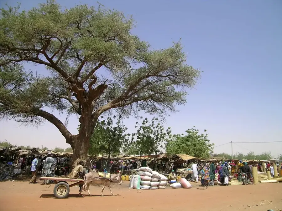
The periodic market is the hub for trading daily essentials. It's a colorful spectacle and great for people-watching.
The prehistoric engraving sites provide a quiet, contemplative atmosphere in the stark landscape.
Walking lightly along the edge of the town at dawn gives beautiful, serene light and a quiet start before the heat.
Water temperature…
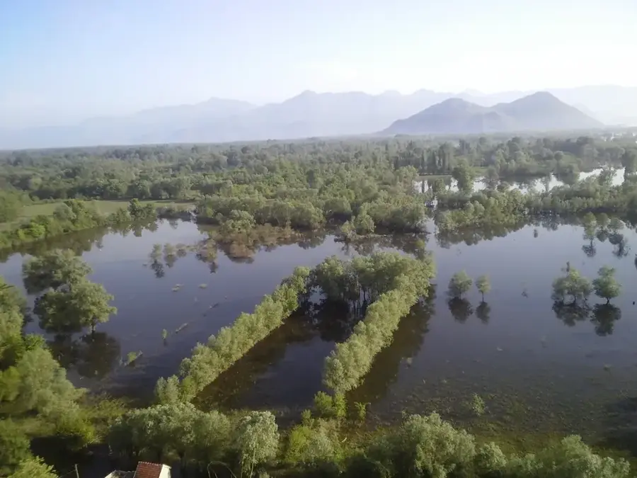
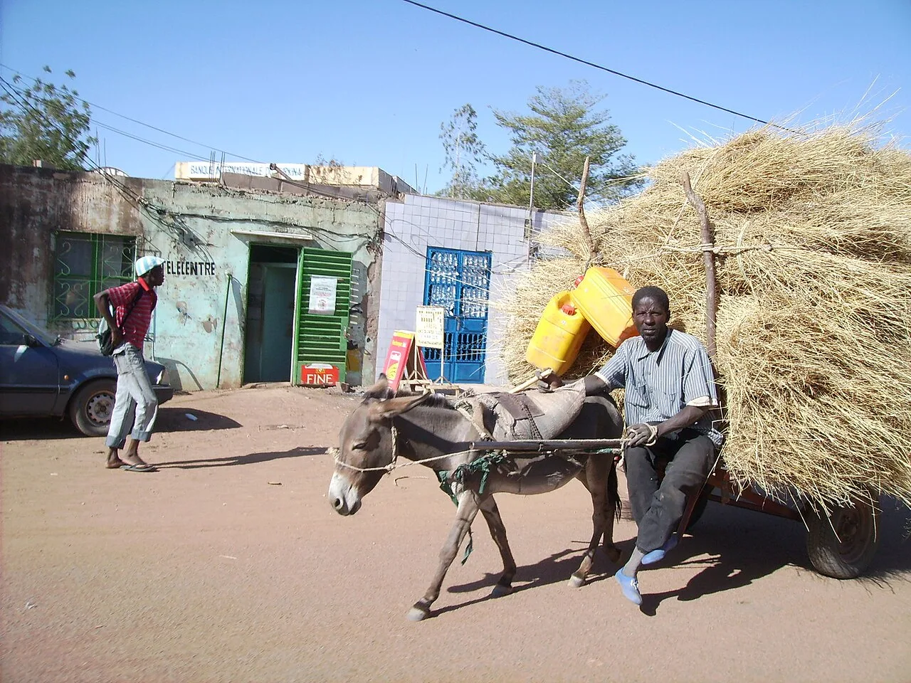
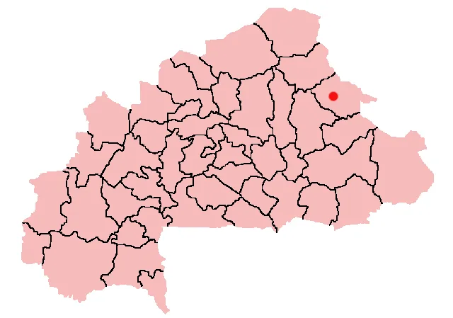
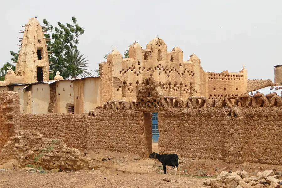
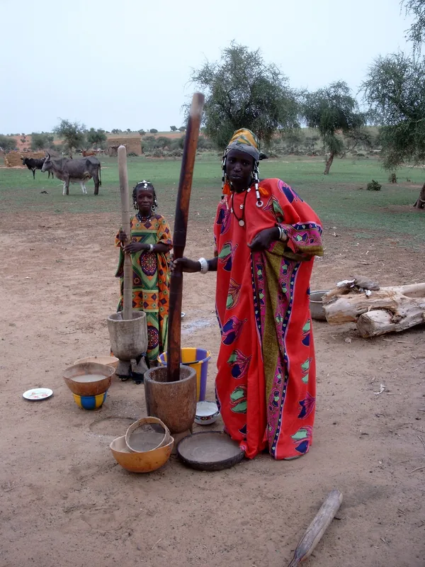
Aribinda is located in the Soum Province of northern Burkina Faso and serves as a significant historical and cultural hub in the Sahel region. The area is globally recognized for its exceptional archaeological sites, particularly the ancient rock engravings and petroglyphs that depict scenes of prehistoric life and the diverse wildlife that once roamed the area. These carvings provide crucial evidence of a time when the regional climate was significantly wetter, supporting a much wider variety of flora and fauna. Today, Aribinda is an administrative center and a vital meeting point for nomadic pastoralists and local traders. The town's economy is centered around livestock markets and agricultural trade, despite the increasing challenges posed by desertification and environmental shifts. Its deep-rooted cultural heritage continues to define the identity of the Sahelian peoples living in the northern territories, bridging the ancient past with contemporary social structures.
- Location: Burkina Faso
- Nearby: Djibo (55 km)
Best time to visit & climate
The most pleasant time to visit is Jan, Feb, Dec.
| Jan | Feb | Mar | Apr | May | Jun | Jul | Aug | Sep | Oct | Nov | Dec | |
|---|---|---|---|---|---|---|---|---|---|---|---|---|
| Avg °C | 23 | 26 | 30 | 33 | 35 | 32 | 29 | 27 | 28 | 29 | 27 | 24 |
| Rain mm | 1 | 0 | 0 | 7 | 21 | 73 | 148 | 209 | 97 | 21 | 0 | 0 |
Geography
Facts
- Located in the Soum Province in the northern part of the country.
- Famous for its prehistoric rock engravings and petroglyphs.
- Situated within the semi-arid climate of the Sahel region.
- Important trading hub for local nomadic livestock herders.
- The rock art depicts animals like elephants and giraffes.
- Serves as the administrative seat of the Aribinda Department.
Explore nearby
Notable places around
Route planner — Car & Motorhome
Where do you start? We build the route here, with stops and country notes along the way.
© OpenStreetMap contributors · OpenRouteService
Frequently asked questions
What is historical about Aribinda?
Where are the rock drawings?
How is the security situation?
What does the art show?
How to get there?
Aribinda: where is it located?
Aribinda: when is the best time to visit?
Aribinda: why is it worth visiting?

Nearby cities

History & landmarks
Nature
More places