Plizio Visual Lab
Arbinda Lake

Weather…
Water temperature…
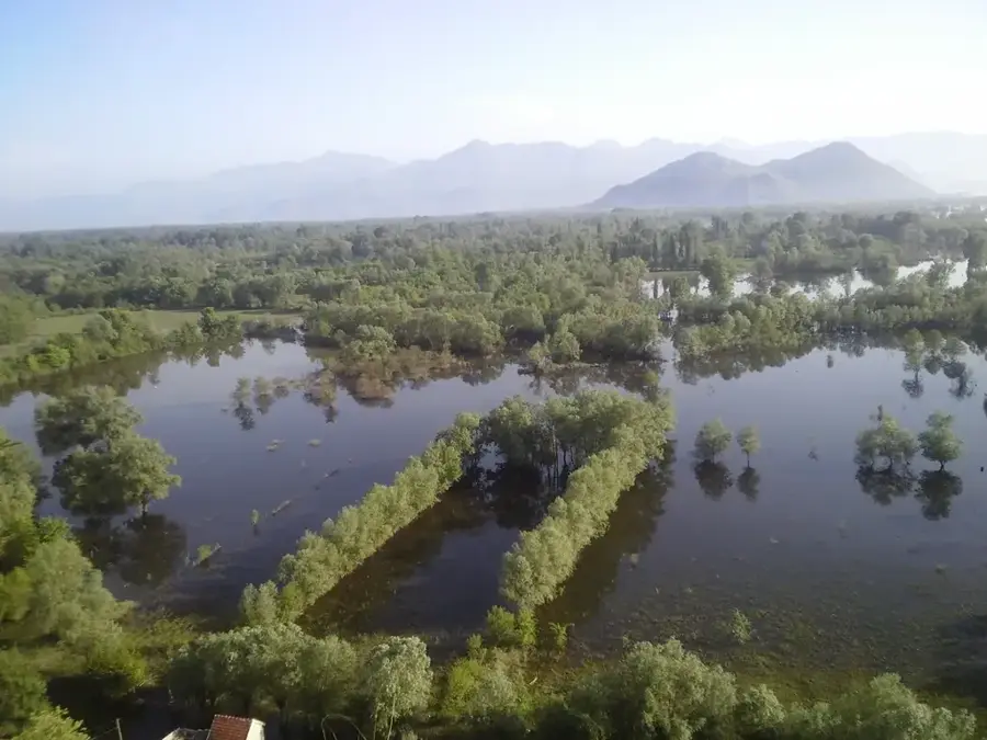
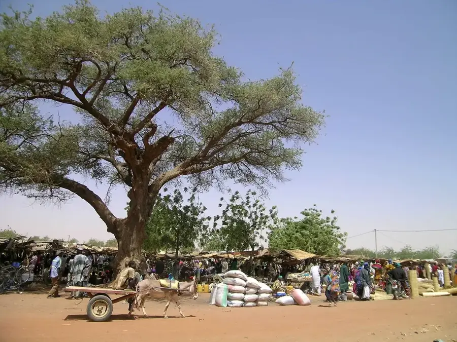
The Arbinda Lake (Mare de Arbinda) is a vital body of water in northern Burkina Faso, located in the Soum Province near the historic town of Arbinda. In the barren Sahelian landscape, this permanent lake serves as one of the few reliable water sources that does not completely dry up even during the prolonged dry season. Geographically, the lake is situated in a natural depression that collects surface water from the surrounding plains, creating a unique microclimate. The Arbinda region is also notable for its archaeological treasures, including prehistoric rock engravings that testify to the early human habitation of the area. The lake is a central hub for nomadic pastoralists who bring thousands of cattle, sheep, and goats here for watering. Ecologically, Mare de Arbinda provides a significant stopover for migratory birds and is home to various local fish species that offer an additional food source for the population. In recent years, climate change and increasing siltation have reduced the lake's capacity, leading to intensified efforts for dredging and shoreline protection. Despite security challenges in the region, the lake remains a symbol of survival and community in the country's north.
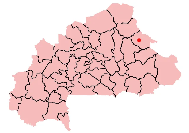
- Location: Burkina Faso
- Nearby: Aribinda (41 km)
Best time to visit & climate
The most pleasant time to visit is Jan, Feb, Dec.
| Jan | Feb | Mar | Apr | May | Jun | Jul | Aug | Sep | Oct | Nov | Dec | |
|---|---|---|---|---|---|---|---|---|---|---|---|---|
| Avg °C | 23 | 26 | 30 | 33 | 35 | 33 | 30 | 28 | 28 | 29 | 26 | 24 |
| Rain mm | 1 | 0 | 0 | 6 | 17 | 60 | 135 | 196 | 86 | 17 | 0 | 0 |
📋 Practical info
Geography
Facts
- Located in the Soum Province of northern Burkina Faso.
- One of the few permanent water sources in the Sahelian zone.
- Near significant prehistoric rock art sites.
- Crucial watering point for thousands of nomadic livestock.
- Important sanctuary for migratory and local bird species.
- Faces environmental threats from siltation and desertification.
Explore nearby
Notable places around
Route planner — Car & Motorhome
Where do you start? We build the route here, with stops and country notes along the way.
© OpenStreetMap contributors · OpenRouteService
Sights nearby
Frequently asked questions
What can you do at the lake?
Is the lake large?
Are there insects there?
When is the best visibility?
Are there hiking trails?
Arbinda Lake: where is it located?
Arbinda Lake: when is the best time to visit?
Arbinda Lake: why is it worth visiting?

Nearby cities

History & landmarks
Nature
More places