Plizio Visual Lab
Kourou Forest

Weather…
Water temperature…
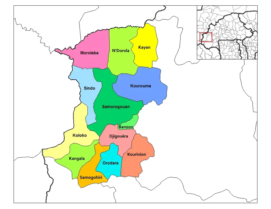
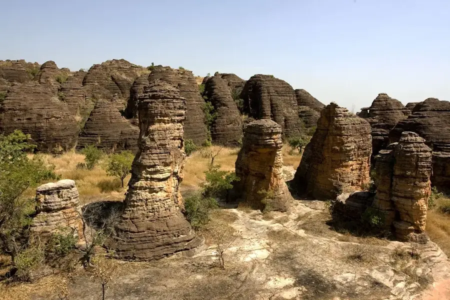
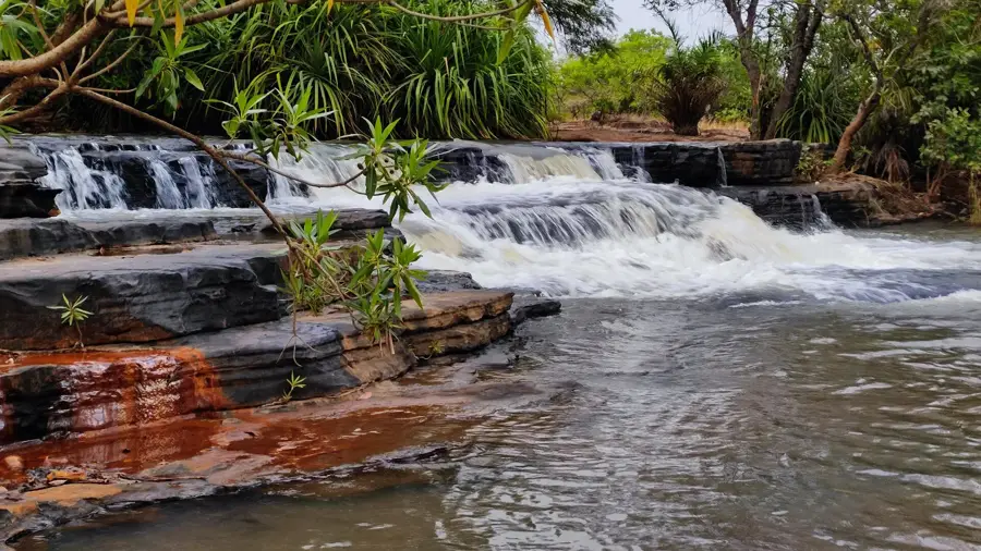
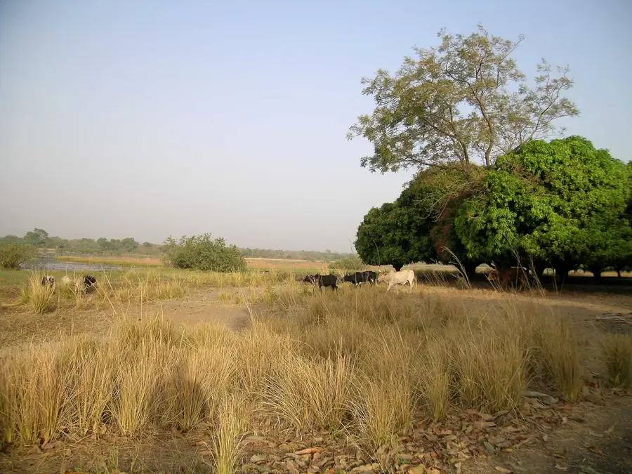
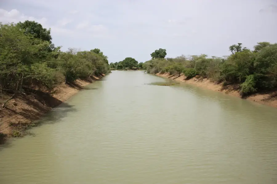
The Kourou Classified Forest is a significant protected woodland area in Burkina Faso, dedicated to preserving biodiversity and ensuring the sustainable use of natural resources. As a classified forest (Forêt classée), the area is subject to specific legal regulations that restrict logging and agricultural activities to encourage the natural regeneration of vegetation. The forest plays a crucial role in regulating the local microclimate and serves as a vital barrier against encroaching desertification in the region. Its flora consists primarily of tree species typical of the Sudanese savannah zone, well-adapted to the region's pronounced dry seasons. For local communities, the forest is an essential source of non-timber products, such as medicinal plants and wild fruits, the collection of which is often strictly regulated. Management of the area is carried out in cooperation with surrounding villages to minimize conflicts between conservation goals and local economic needs. Despite its protected status, the forest remains threatened by illegal charcoal production and slash-and-burn practices, necessitating ongoing monitoring.
- Location: Burkina Faso
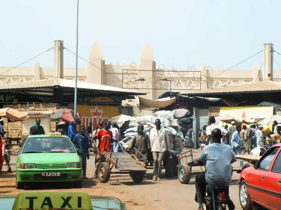
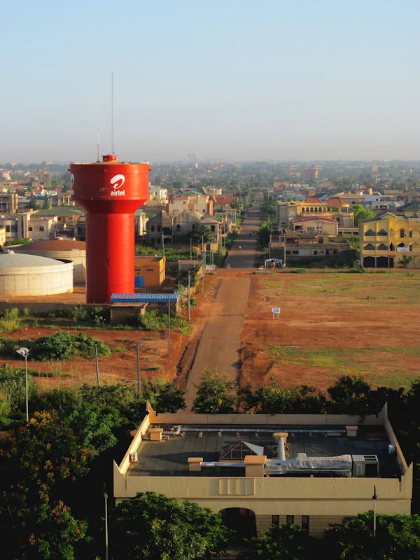
- Nearby: Bobo-Dioulasso (12 km)
Best time to visit & climate
The most pleasant time to visit is Jan, Nov, Dec.
| Jan | Feb | Mar | Apr | May | Jun | Jul | Aug | Sep | Oct | Nov | Dec | |
|---|---|---|---|---|---|---|---|---|---|---|---|---|
| Avg °C | 25 | 28 | 31 | 31 | 30 | 28 | 26 | 25 | 25 | 26 | 26 | 24 |
| Rain mm | 1 | 6 | 15 | 55 | 105 | 150 | 229 | 278 | 199 | 72 | 5 | 0 |
📋 Practical info
Geography
Facts
- Officially designated as a Forêt classée (classified forest).
- Protects the unique biodiversity of the Sudanese savannah.
- Serves as a crucial natural barrier against desertification.
- Source of non-timber forest products like medicinal plants.
- Managed through collaborative community-based initiatives.
- Threatened by illegal charcoal production and fire clearing.
Explore nearby
Notable places around
Route planner — Car & Motorhome
Where do you start? We build the route here, with stops and country notes along the way.
© OpenStreetMap contributors · OpenRouteService
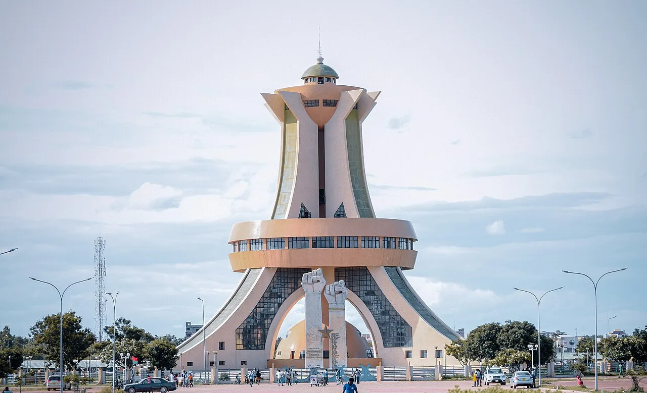
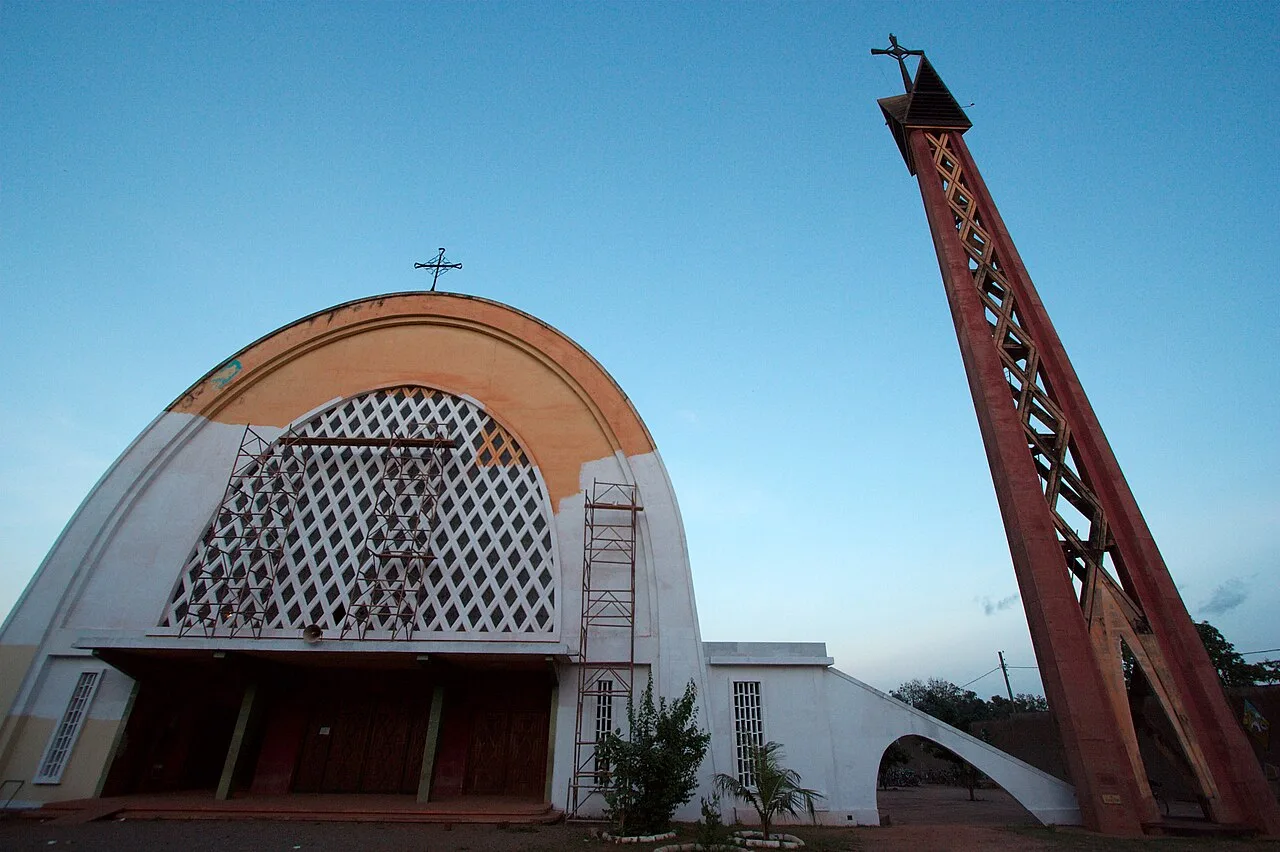
Sights in the town Kourou Forest (1)
Sights nearby
Frequently asked questions
Where is the Kourou Forest located?
What is special about this forest?
Are there hiking trails?
When is the best time to visit?
Can you buy fruit directly on site?
Kourou Forest: where is it located?
Kourou Forest: when is the best time to visit?
Kourou Forest: why is it worth visiting?

Nearby cities


Nature
More places