Plizio Visual Lab
Bukit Tempayan Pisang
Weather…
Water temperature…
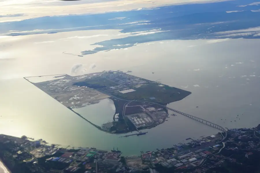
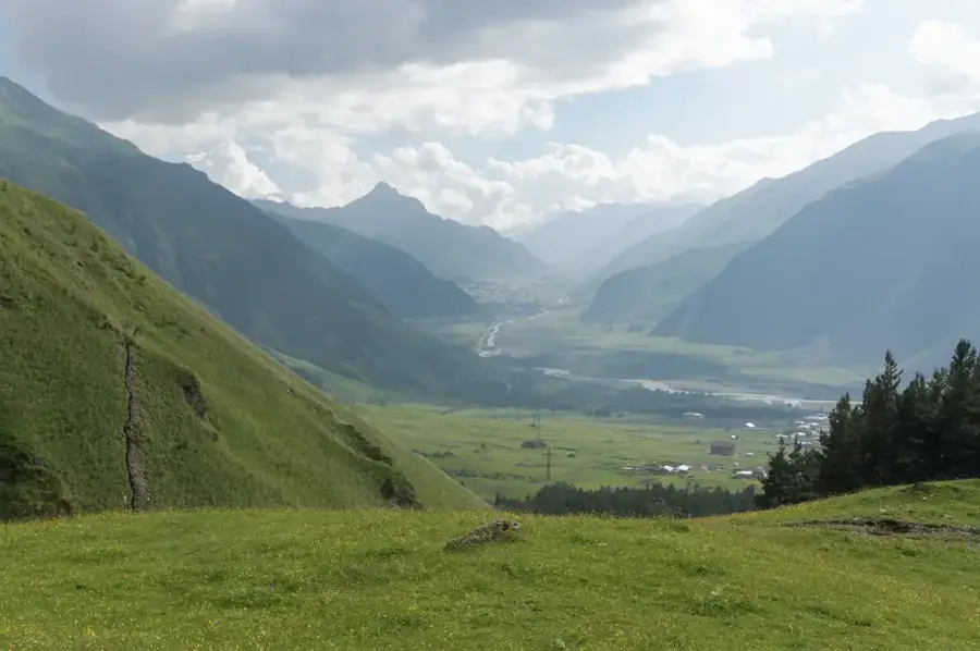
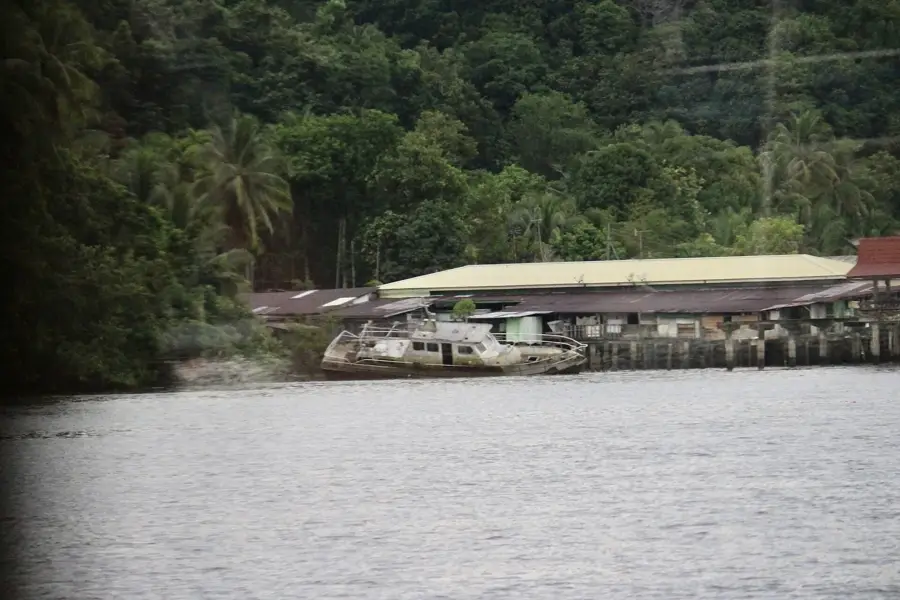
Bukit Tempayan Pisang is a prominent hill in the Muara District of Brunei, reaching an elevation of approximately 159 meters. It serves as a key lookout point and recreational area, offering panoramic views of Muara Port, Brunei Bay, and the surrounding islands. Geographically, the hill is covered with secondary forest and is home to a variety of local wildlife species. Historically and culturally, the site is deeply rooted in local folklore, particularly through the legend of Gua Gelap (Dark Cave), which is associated with mythical beings and ancient tales. A well-developed system of hiking trails leads to the summit, where visitors can find informational plaques about local history and ecology. In modern times, the hill is used for both fitness activities and nature tourism. The hill's geological structure consists mainly of sedimentary rocks, characteristic of Brunei's coastal regions. The preservation of this area is important for local biodiversity amidst the ongoing industrial development in Muara.
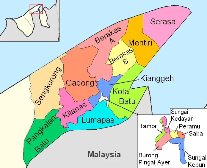
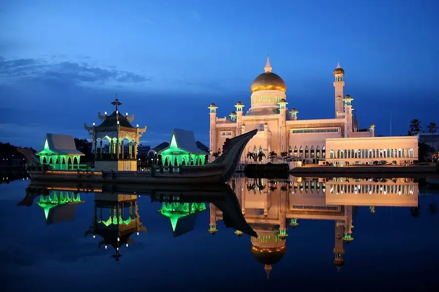
- Location: Brunei
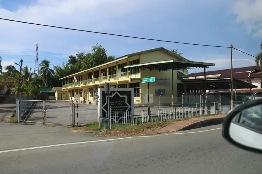
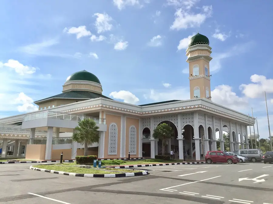
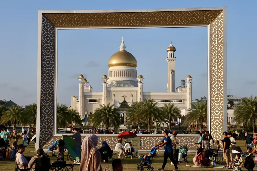
- Top sights: Pulau Chermin Lighthouse · Kampong Sungai Besar Mosque
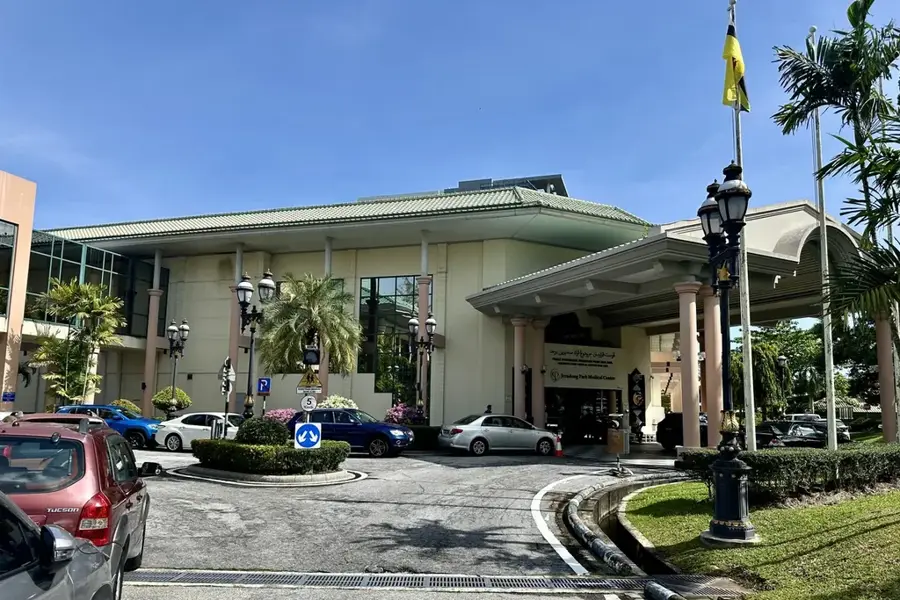
- Nearby: Muara (5 km)
Best time to visit & climate
The most pleasant time to visit is Feb–Apr.
| Jan | Feb | Mar | Apr | May | Jun | Jul | Aug | Sep | Oct | Nov | Dec | |
|---|---|---|---|---|---|---|---|---|---|---|---|---|
| Avg °C | 27 | 27 | 27 | 28 | 28 | 28 | 28 | 28 | 28 | 27 | 27 | 27 |
| Rain mm | 285 | 143 | 155 | 212 | 241 | 258 | 249 | 229 | 253 | 312 | 321 | 333 |
📋 Practical info
Geography
Facts
- The highest point of the hill is approximately 159 meters.
- It offers a strategic view of the Muara deep-water port.
- The name Tempayan Pisang refers to a local legend.
- Gua Gelap is a well-known cave located on the premises.
- Various hiking trails have been laid out for tourists and locals.
- The hill is a vital habitat for local monkey species and birds.
Explore nearby
Notable places around
Route planner — Car & Motorhome
Where do you start? We build the route here, with stops and country notes along the way.
© OpenStreetMap contributors · OpenRouteService
Sights in the town Bukit Tempayan Pisang (2)
Sights nearby
Frequently asked questions
How difficult is the climb?
What can you see from the summit?
Are there caves to visit there?
What should you bring?
How long does the hike take?
Bukit Tempayan Pisang: where is it located?
Bukit Tempayan Pisang: what is there to see?
Bukit Tempayan Pisang: when is the best time to visit?
Bukit Tempayan Pisang: why is it worth visiting?

Nearby cities

History & landmarks
Nature

More places