Plizio Visual Lab
Porto Velho
ℹ️Practical info — Porto Velho
▾
🌤 Weather — 5 days
📍 Nearby
Sights nearby
💡 Tips
- Take a late afternoon boat ride on the Madeira River to catch a spectacular Amazonian sunset.
- The Madeira-Mamoré Railway complex is an essential piece of history, though restoration work may limit access.
- The heat and humidity are intense year-round; hydrate constantly and pace yourself.
- For local transport, ride-hailing apps are generally safer and more reliable than hailing cabs on the street.
🍽 Food
Try the roasted ribs of the local Tambaqui fish, best enjoyed at traditional riverside restaurants.
A mouth-numbing Amazonian soup made with tucupi broth and jambu leaves, easily found at downtown street stalls.
Taste the authentic, earthy local version of Açaí, typically served unsweetened with manioc flour (farinha).
🛍 Shopping · 🧘 Quiet spots
A bustling spot to buy regional foods and crafts, often accompanied by live music on the weekends.
The go-to place for authentic indigenous handicrafts and wooden souvenirs from the Rondônia region.
A sprawling ecological park featuring walking trails and an immersion into the native Amazonian flora.
A historic and serene chapel situated right on the riverbank, offering a peaceful retreat just outside the city.
Water temperature…
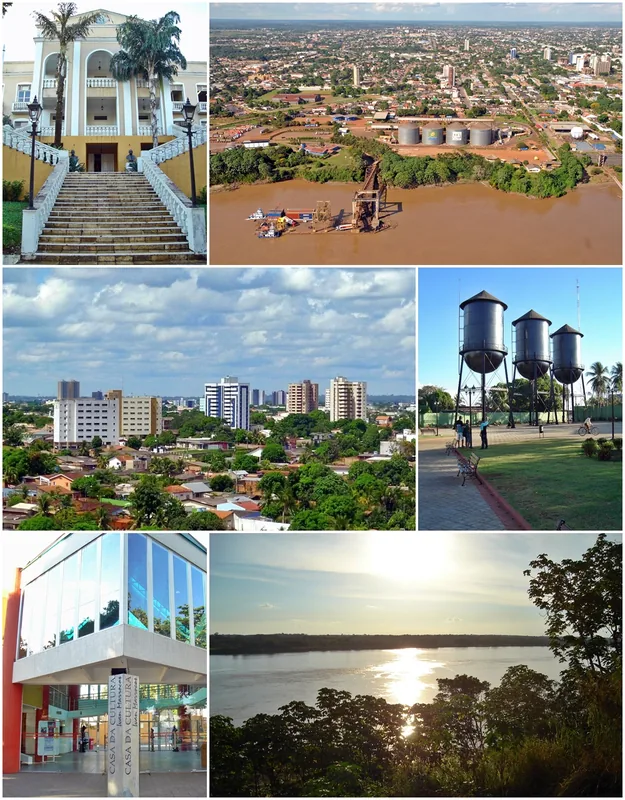
Porto Velho, the capital of the state of Rondônia, is a city defined by its relationship with the mighty Madeira River and its history as a pioneer outpost in the western Amazon. The city's existence is a direct result of the construction of the Madeira-Mamoré Railroad (EFMM) at the beginning of the 20th century. Known as the 'Devil's Railroad' due to the thousands of lives lost to tropical diseases during its construction, the line was built to bypass the impassable rapids of the Madeira River and transport rubber from Bolivia to the Atlantic. Founded in 1907 by the American project managers, Porto Velho was a model of early 20th-century industrial efficiency, featuring modern amenities that were rare in the Amazonian interior at the time. Following the collapse of the rubber trade, Porto Velho transitioned into a regional hub for gold mining and later, large-scale agribusiness. Today, it stands as a critical logistical node in Northern Brazil; its river port is a vital link for the export of soy and beef from the nation's interior to international markets via the Amazon River system. The recent completion of the Jirau and Santo Antônio hydroelectric dams, two of the largest in Brazil, has further cemented Porto Velho's economic importance as a national energy powerhouse. The city's skyline is anchored by the 'Three Marias' (As Três Marias), three iconic black water towers that serve as the municipal symbol. Culturally, the city is a spirited melting pot of migrants from across Brazil, creating a unique social fabric reflected in its diverse festivals and river-based cuisine. As a gateway to the deep Amazon, Porto Velho continues to grow as a center for education and government services, maintaining its status as a resilient frontier capital.
Explore on the map
How well do you know Brazil?
Find cities, landscapes and regions in 10 varied challenges on the interactive map.
Your journey, your memory
A postcard from Porto Velho
Turn your own photo into a personal postcard with a local stamp. Free and no sign-up required.
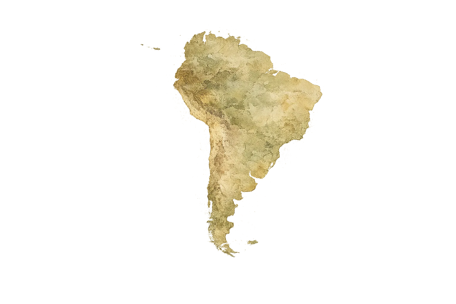
Create a postcard- Location: Brazil
- Highlights: Igreja Sagrado Coração de Jesus · capela de Santo Antônio de Pádua · Museu Palácio da Memória Rondoniens
- Population: ~548.952 (2026)
Best time to visit & climate
The most pleasant time to visit is Jun–Aug.
| Jan | Feb | Mar | Apr | May | Jun | Jul | Aug | Sep | Oct | Nov | Dec | |
|---|---|---|---|---|---|---|---|---|---|---|---|---|
| Avg °C | 26 | 26 | 26 | 26 | 25 | 25 | 26 | 28 | 29 | 28 | 27 | 26 |
| Rain mm | 254 | 241 | 229 | 172 | 94 | 32 | 21 | 39 | 83 | 147 | 154 | 247 |
Geography
Facts
- Porto Velho was officially founded on October 2, 1907.
- The city's land area is approximately 34,091 square kilometers.
- The Madeira-Mamoré Railroad took 5 years to complete (1907-1912).
- The black water towers (Três Marias) were imported from New York.
- Porto Velho is the only state capital located on the Madeira River.
- The Santo Antônio dam began commercial operations in 2012.
- The city's population grew by nearly 7% between 2010 and 2022.
- Porto Velho serves as the starting point of the BR-319 highway to Manaus.
Route planner — Car & Motorhome
Where do you start? We build the route here, with stops and country notes along the way.
© OpenStreetMap contributors · OpenRouteService
Sights in the town Porto Velho (13)
Frequently asked questions
What is the main attraction in Porto Velho?
Can you take boat trips on the Rio Madeira?
What is the climate like in the region?
Which local specialties should you try?
How to get to Porto Velho?
Porto Velho: where is it located?
Porto Velho: what is there to see?
Porto Velho: when is the best time to visit?
Porto Velho: why is it worth visiting?