Plizio Visual Lab
Pico das Agulhas Negras
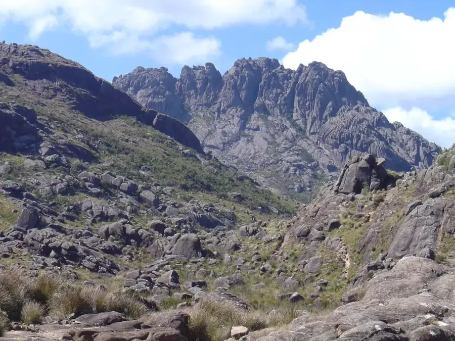
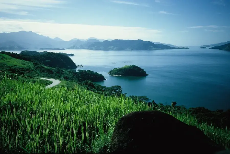
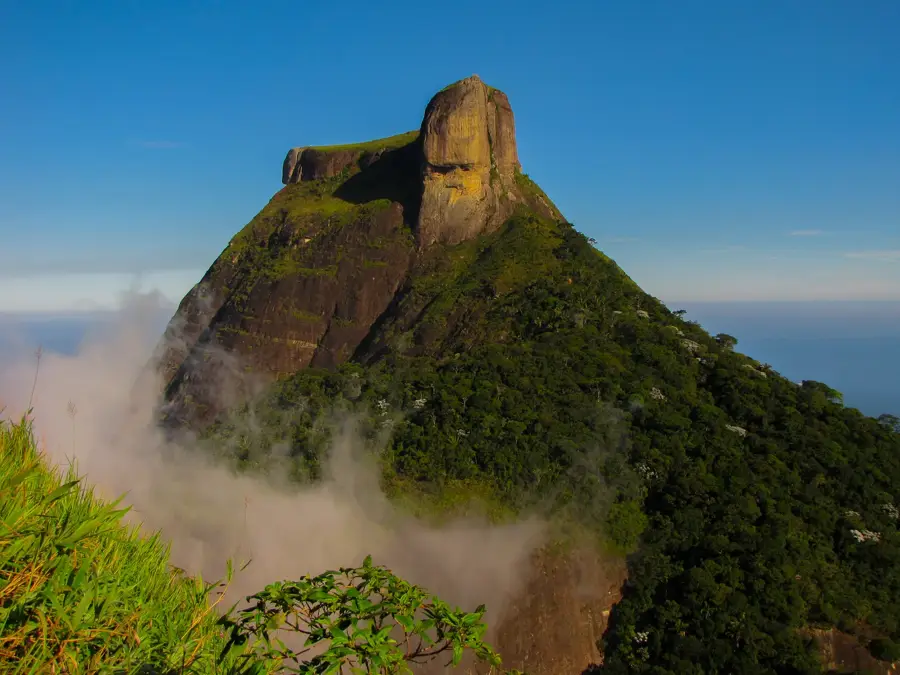
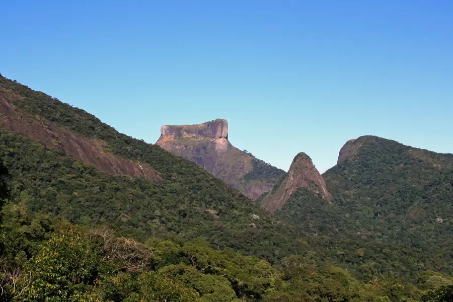
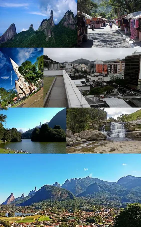
Pico das Agulhas Negras, at 2,791 meters, is Brazil's fifth-highest peak and the center-piece of Itatiaia National Park, the country's oldest national park. Located in the Serra da Mantiqueira range, it straddles the border between the states of Rio de Janeiro and Minas Gerais. Its name means 'Peak of the Black Needles,' referring to the distinctive vertical formations of dark alkaline rock that crown the summit. This unusual geology makes it a premier destination for mountaineers and rock climbers from across southeastern Brazil. The climate at this altitude is exceptionally cool by Brazilian standards; in winter, temperatures frequently drop below freezing, and occasional snowfall has been recorded. The vegetation is dominated by alpine grasses and shrubs that survive in the crevices of massive granite boulders. The ascent to the summit provides spectacular views over the Paraíba Valley and is a key site for regional biodiversity research.
- Location: Brazil
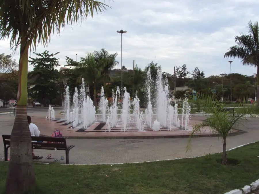
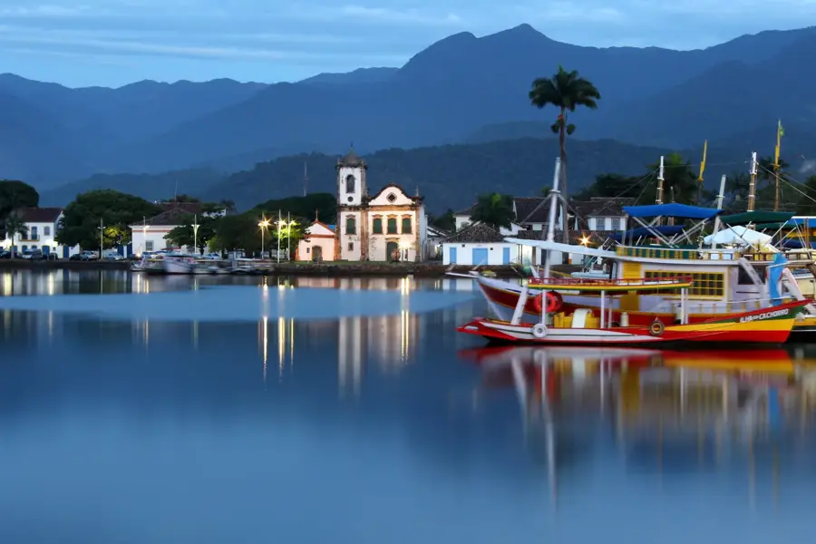
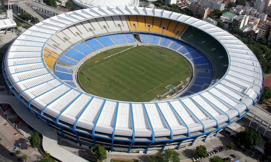
- Top sights: Lagoa Azul · Pico das Agulhas Negras · Pedra do Sino de Itatiaia
- Nearby: Penedo (16 km)
Best time to visit & climate
The most pleasant time to visit is Apr, Aug, Sep.
| Jan | Feb | Mar | Apr | May | Jun | Jul | Aug | Sep | Oct | Nov | Dec | |
|---|---|---|---|---|---|---|---|---|---|---|---|---|
| Avg °C | 23 | 22 | 22 | 20 | 18 | 17 | 17 | 18 | 20 | 21 | 21 | 22 |
| Rain mm | 235 | 180 | 167 | 81 | 50 | 32 | 32 | 32 | 56 | 110 | 187 | 217 |
📋 Practical info
Geography
Facts
- The peak reaches a height of 2,791 meters.
- Itatiaia National Park was established in 1937.
- The mountain is primarily composed of syenite, a plutonic rock.
- One of the most significant snowfalls was recorded here in 1985.
- The climb to the summit takes between 6 to 8 hours depending on route.
- The high-altitude base station is located at about 2,450 meters.
Explore nearby
Notable places around
Route planner — Car & Motorhome
Where do you start? We build the route here, with stops and country notes along the way.
© OpenStreetMap contributors · OpenRouteService
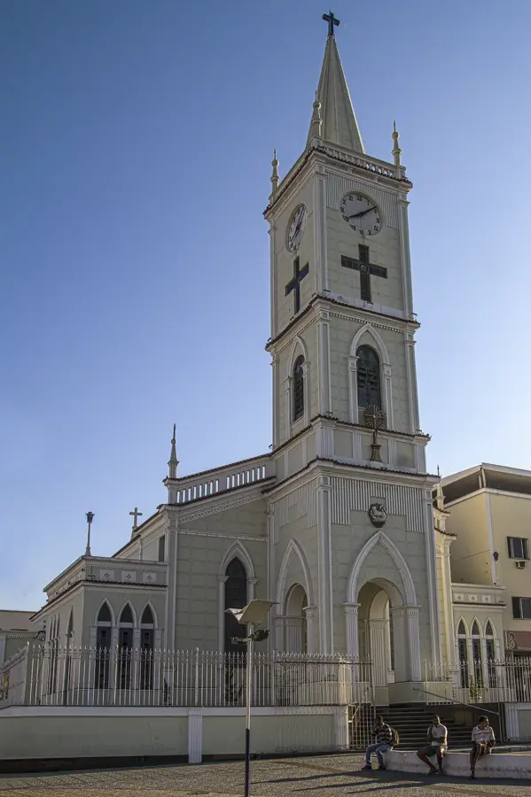
Sights in the town Pico das Agulhas Negras (5)
Sights nearby
Frequently asked questions
Where is Pico das Agulhas Negras located?
How high is the mountain?
Is the climb difficult?
Why is it called 'Agulhas Negras'?
Can it snow there?
Pico das Agulhas Negras: where is it located?
Pico das Agulhas Negras: what is there to see?
Pico das Agulhas Negras: when is the best time to visit?
Pico das Agulhas Negras: why is it worth visiting?

Nearby cities


History & landmarks

More places