Plizio Visual Lab
Isiboro Sécure National Park
Weather…
Water temperature…
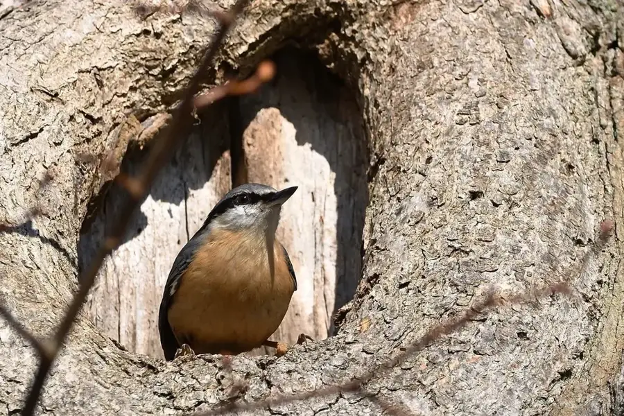
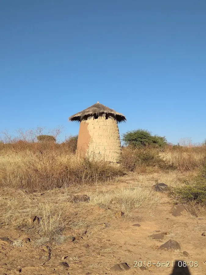
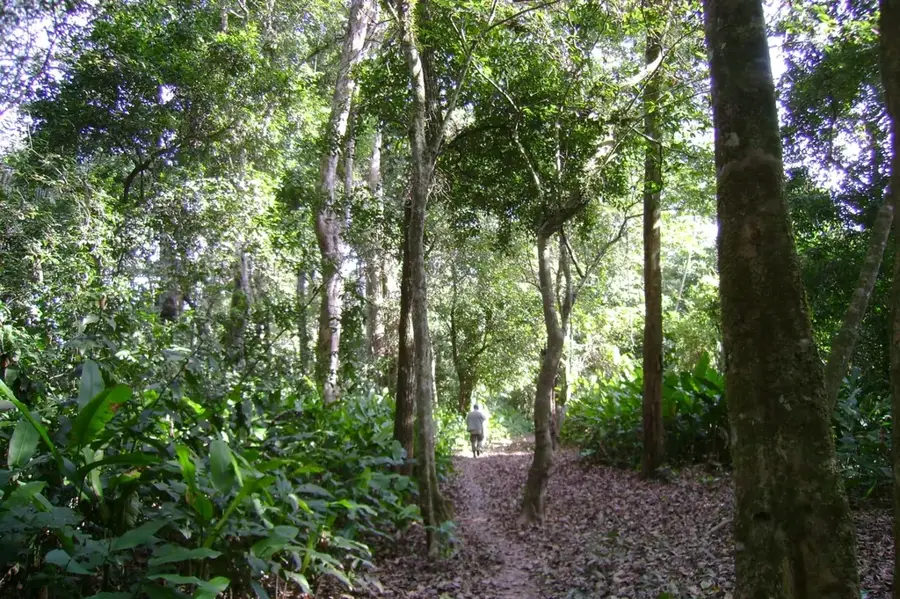
Isiboro Sécure National Park, commonly known by its Spanish acronym TIPNIS, is a dual-status protected area that serves as both a national park and a collective indigenous territory. Located between the departments of Beni and Cochabamba, it spans approximately 12,000 square kilometers of tropical rainforest and seasonal floodplains. The park is crisscrossed by the Isiboro, Sécure, and Ichoa rivers, which are essential transportation routes for the resident Tsimané, Yuracaré, and Mojeño-Trinitario indigenous peoples. TIPNIS is celebrated for its immense biodiversity, providing a habitat for pink river dolphins, black caimans, and a vast array of primate species. In recent years, the territory gained international prominence due to a heated conflict over a proposed highway project intended to cut through the park's core, sparking major protests from indigenous groups and environmentalists. The park remains a symbol of the struggle for indigenous land rights and the preservation of the untouched Amazonian frontier.
Best time to visit & climate
The most pleasant time to visit is Jun–Aug.
| Jan | Feb | Mar | Apr | May | Jun | Jul | Aug | Sep | Oct | Nov | Dec | |
|---|---|---|---|---|---|---|---|---|---|---|---|---|
| Avg °C | 24 | 24 | 24 | 23 | 22 | 21 | 22 | 24 | 26 | 27 | 26 | 25 |
| Rain mm | 226 | 221 | 158 | 101 | 72 | 68 | 38 | 36 | 44 | 90 | 139 | 200 |
📋 Practical info
Geography
Facts
- The park was officially established on November 22, 1965.
- It covers a total area of approximately 1,236,296 hectares.
- Three indigenous groups (Tsimané, Yuracaré, Mojeño) reside in the park.
- The area was designated as an Indigenous Territory (TCO) in 1990.
- More than 3,000 plant species have been identified within its borders.
- The park is located in one of the highest rainfall regions of Bolivia.
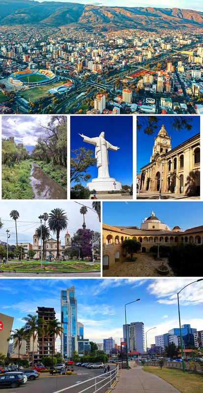
Explore nearby
Notable places around
Route planner — Car & Motorhome
Where do you start? We build the route here, with stops and country notes along the way.
© OpenStreetMap contributors · OpenRouteService
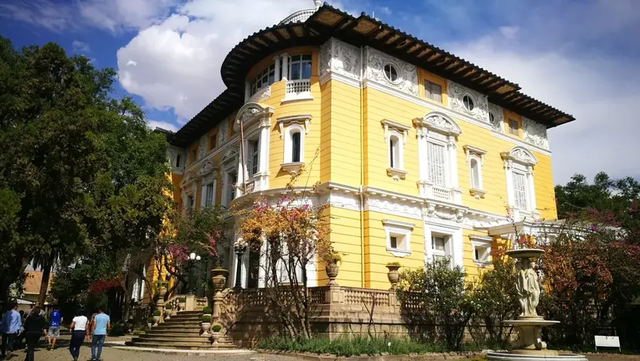
Sights in the town Isiboro Sécure National Park (1)
Sights nearby
Frequently asked questions
Is the park accessible for tourists?
What is special about this forest?
When do weather risks occur?
Is there public transport?
Are there hotels?
Isiboro Sécure National Park: where is it located?
Isiboro Sécure National Park: when is the best time to visit?
Isiboro Sécure National Park: why is it worth visiting?

History & landmarks


More places