Plizio Visual Lab
Iténez River
Weather…
Water temperature…
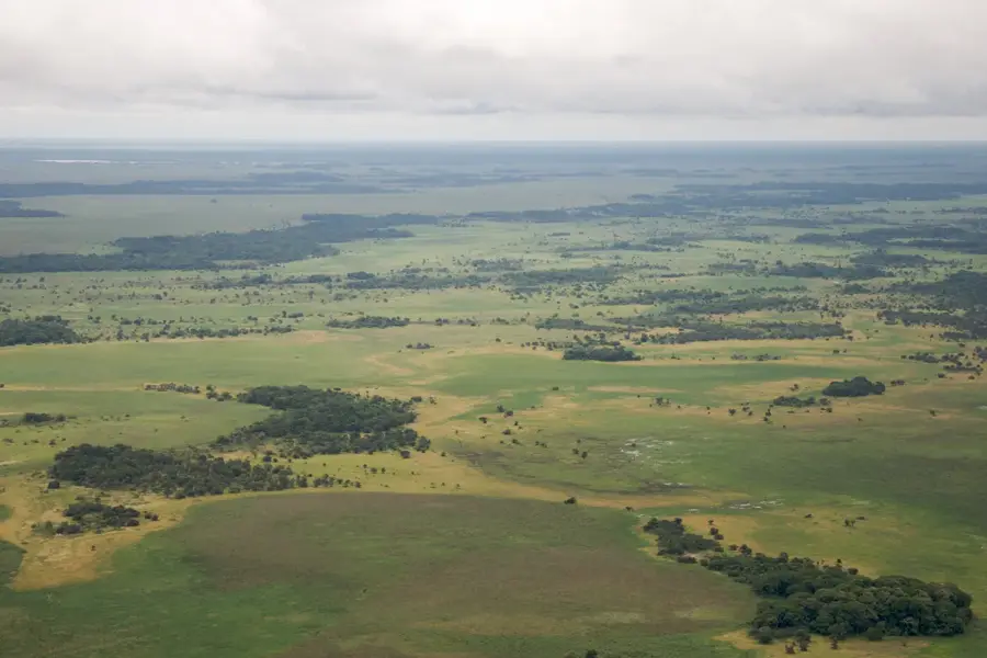
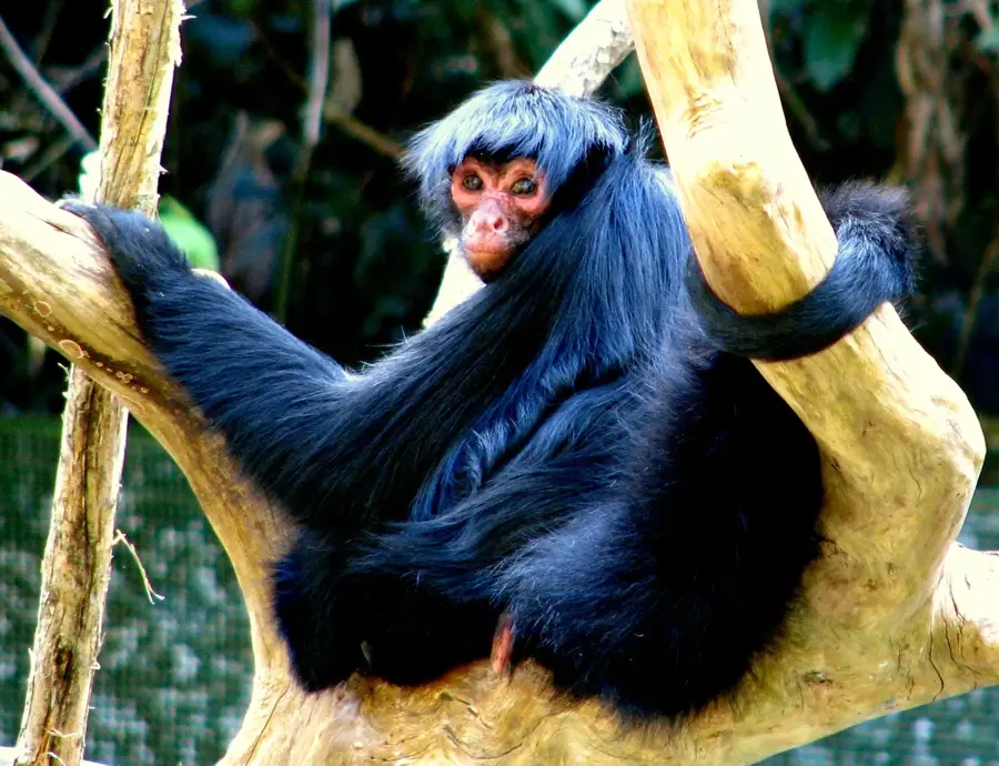
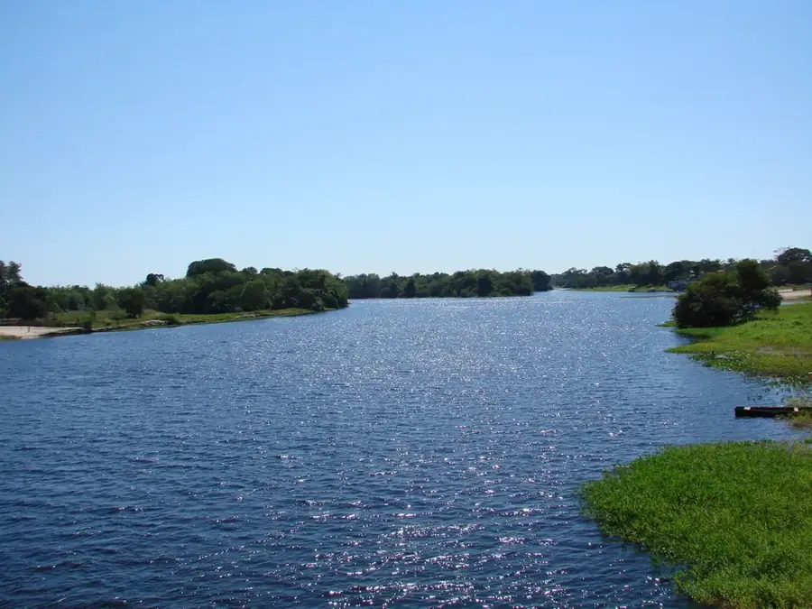
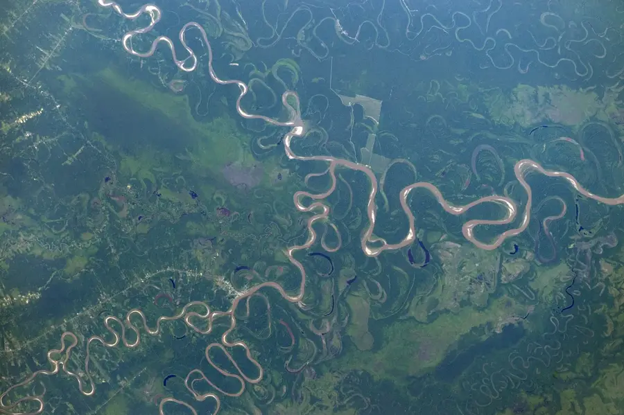
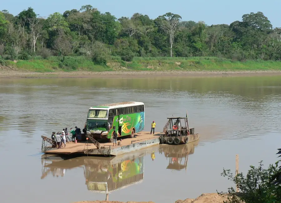
The Iténez River, also known as the Guaporé in Brazil, is a major waterway in eastern Bolivia, forming a natural border between Bolivia and Brazil for approximately 850 kilometers. It originates in the Mato Grosso state of Brazil and flows northwest until its confluence with the Mamoré River. The river is notable for its clear 'blackwater' characteristics, which stand in stark contrast to the sediment-rich 'whitewater' rivers common in the Amazon basin. Along its banks are extensive floodplains and gallery forests that provide a sanctuary for diverse wildlife, including caimans, river dolphins, and a vast array of fish species. In Bolivia, the Iténez flows past the Noel Kempff Mercado National Park, a UNESCO World Heritage site renowned for its ecological integrity. Historically, the river was a strategic frontier between the Spanish and Portuguese empires, as evidenced by the massive ruins of the Príncipe da Beira fortress on the Brazilian side, one of the largest colonial structures in South America.
Best time to visit & climate
The most pleasant time to visit is May–Jul.
| Jan | Feb | Mar | Apr | May | Jun | Jul | Aug | Sep | Oct | Nov | Dec | |
|---|---|---|---|---|---|---|---|---|---|---|---|---|
| Avg °C | 26 | 26 | 26 | 26 | 25 | 26 | 27 | 29 | 30 | 29 | 28 | 26 |
| Rain mm | 215 | 222 | 175 | 105 | 56 | 23 | 20 | 24 | 61 | 120 | 136 | 247 |
📋 Practical info
Geography
Facts
- Forms the border between Bolivia and Brazil for 850 kilometers.
- Originates in the Mato Grosso state of Brazil.
- Emptying into the Mamoré River after its long course.
- Flows alongside the Noel Kempff Mercado National Park (UNESCO).
- Characterized by clear water with low sediment compared to its neighbors.
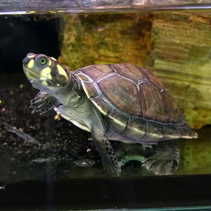
- Home to the endangered Arrau turtle and the giant river otter.
Route planner — Car & Motorhome
Where do you start? We build the route here, with stops and country notes along the way.
© OpenStreetMap contributors · OpenRouteService
Sights nearby
Frequently asked questions
Which natural border does the Río Iténez form?
What is the river called in Brazil?
Are there protected areas by the river?
What are the main tourist activities?
When is the water level lowest?
Iténez River: where is it located?
Iténez River: when is the best time to visit?
Iténez River: why is it worth visiting?

Nature
More places