Plizio Visual Lab
Mangde Chhu
Weather…
Water temperature…
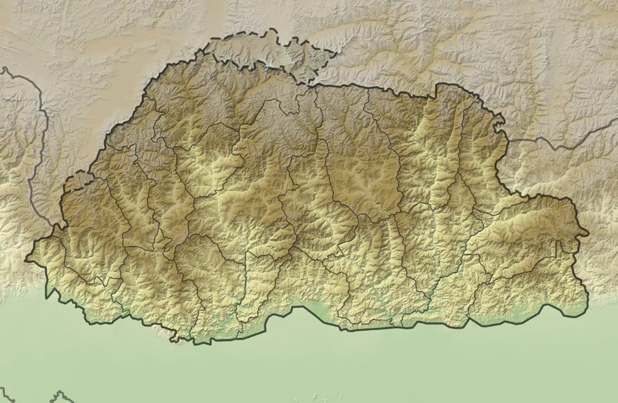
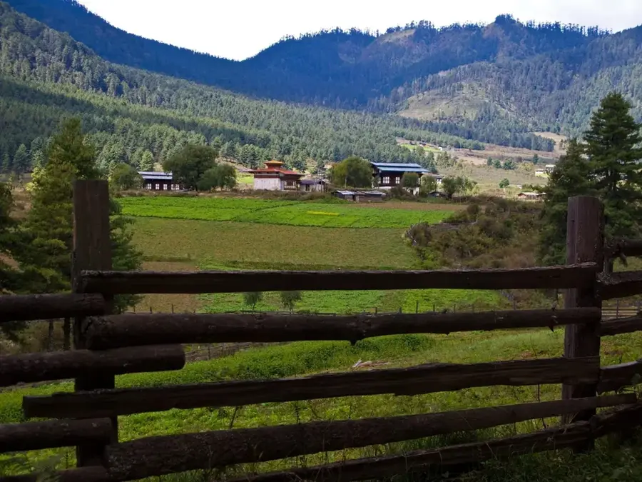
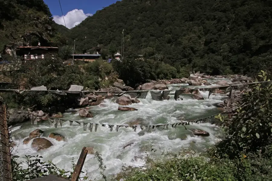
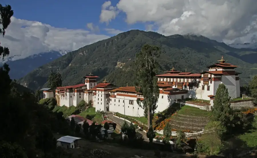
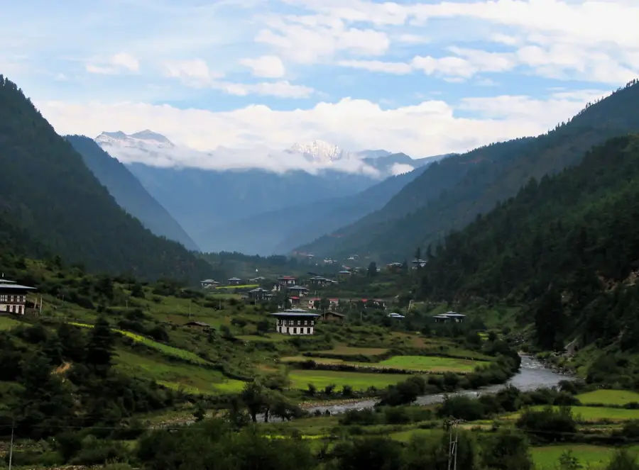
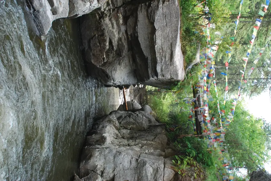
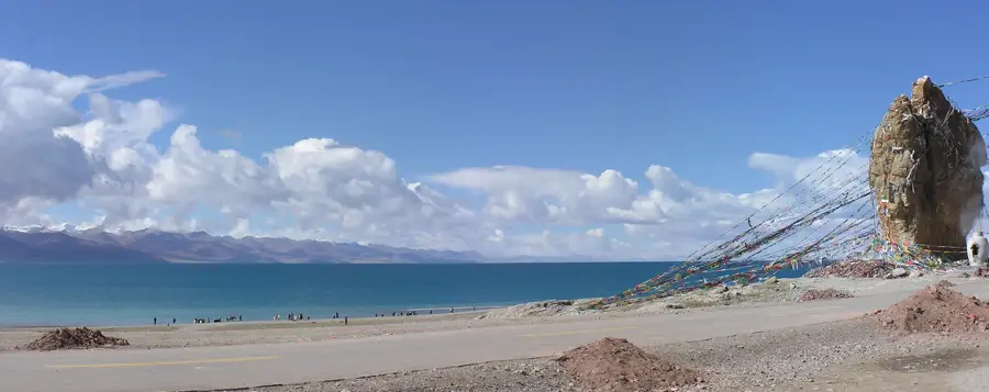
The Mangde Chhu is a major river in central Bhutan that flows through deep gorges and valleys. It originates in the Wangchuck Centennial National Park and is an important water source for the Trongsa region. The river is known for the Mangdechhu Hydroelectric Project, one of Bhutan's largest hydropower plants, which contributes significantly to the country's economy by exporting clean energy to India. The project was commissioned in 2019. The river's surroundings are characterized by dense temperate forests with rich biodiversity. The river's course historically separates western from eastern Bhutan and was formerly a major barrier to trade and transport. Today, modern bridges cross the river, but its wild and untamed nature is still visible in many sections.
- Location: Bhutan
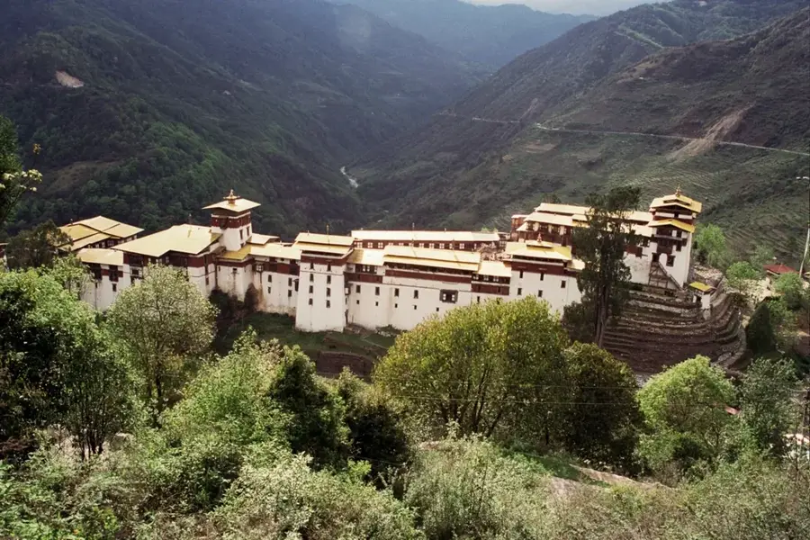
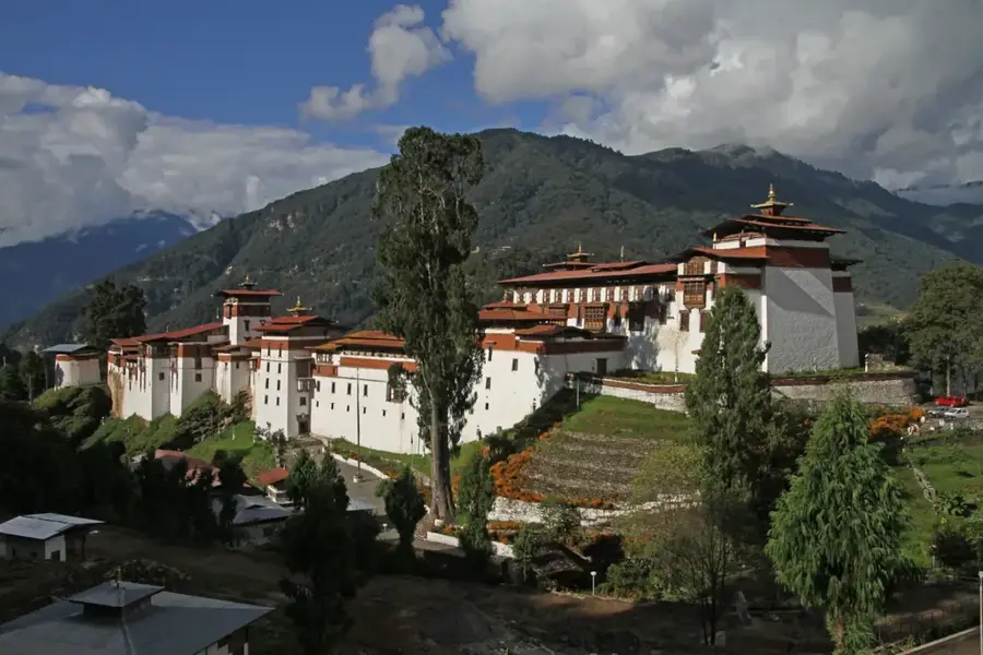
- Top sights: Trongsa Dzong · Chorten · Stupa
- Nearby: Zhemgang (17 km)
Best time to visit & climate
The most pleasant time to visit is Sep–Nov.
| Jan | Feb | Mar | Apr | May | Jun | Jul | Aug | Sep | Oct | Nov | Dec | |
|---|---|---|---|---|---|---|---|---|---|---|---|---|
| Avg °C | 0 | 1 | 4 | 7 | 10 | 13 | 14 | 14 | 12 | 9 | 5 | 2 |
| Rain mm | 4 | 12 | 32 | 102 | 145 | 194 | 257 | 196 | 137 | 64 | 5 | 3 |
📋 Practical info
Geography
Facts
- Site of a major dam project.
- Separates western and eastern Bhutan.
- Surrounded by dense forests.
Explore nearby
Notable places around
Route planner — Car & Motorhome
Where do you start? We build the route here, with stops and country notes along the way.
© OpenStreetMap contributors · OpenRouteService
Sights in the town Mangde Chhu (5)
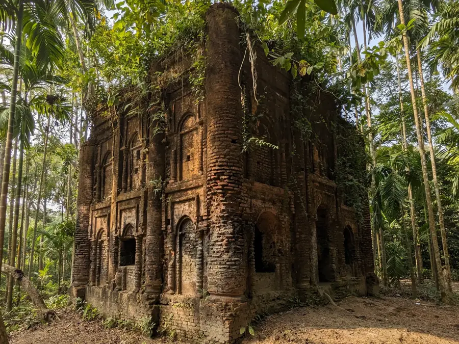
Thrupang Palace🏰 castle
Palace in Bhutan, a royal residence with traditional architecture and historical significance.
Sights nearby
Frequently asked questions
Where is the Mangde Chhu river located?
Is there a large hydroelectric plant there?
Can you see the river from Trongsa Dzong?
Is the Mangde Chhu valley inhabited?
What is the best time to visit the valley?
Mangde Chhu: where is it located?
Mangde Chhu: what is there to see?
Mangde Chhu: when is the best time to visit?
Mangde Chhu: why is it worth visiting?

Nearby cities
History & landmarks

Nature
More places