Plizio Visual Lab
Mono River
Weather…
Water temperature…
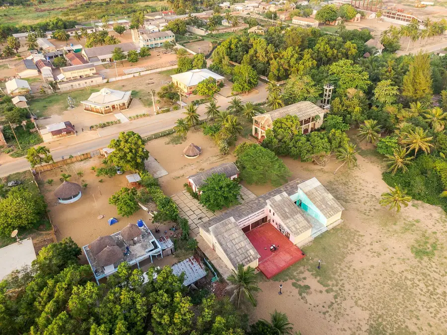
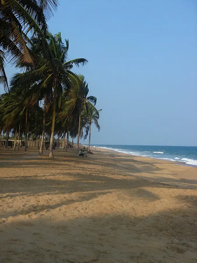
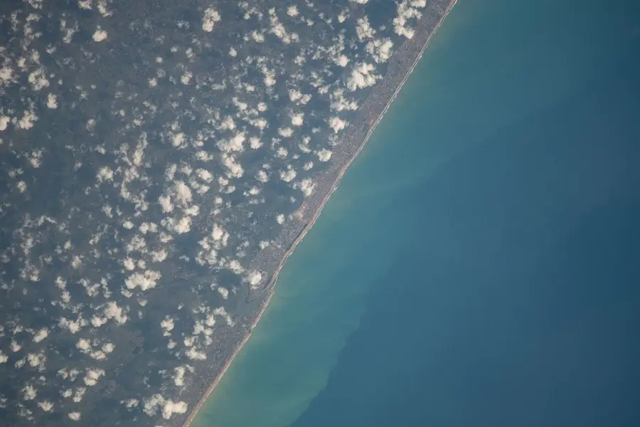
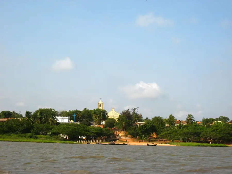
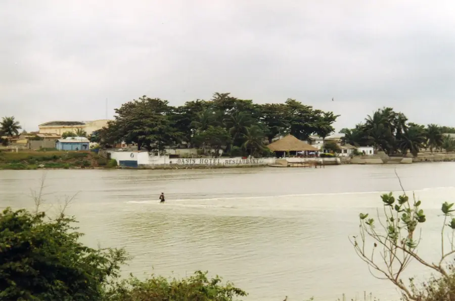
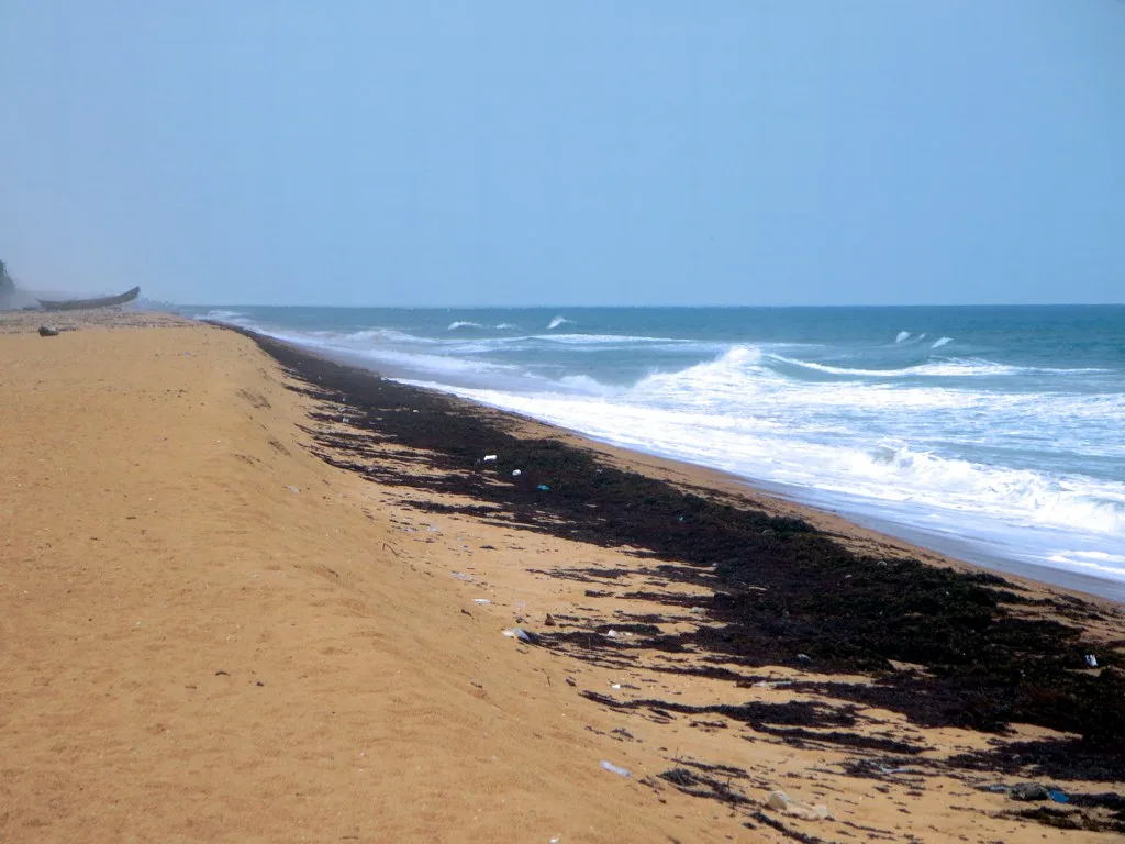
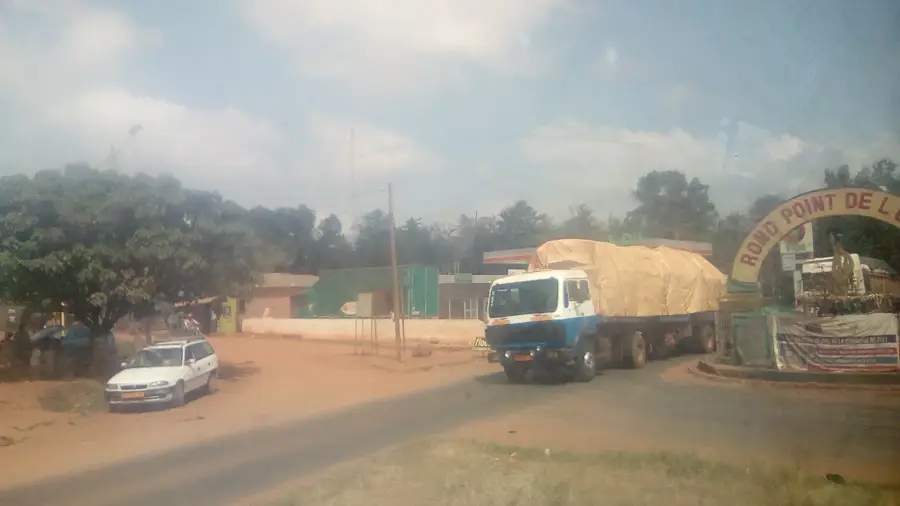
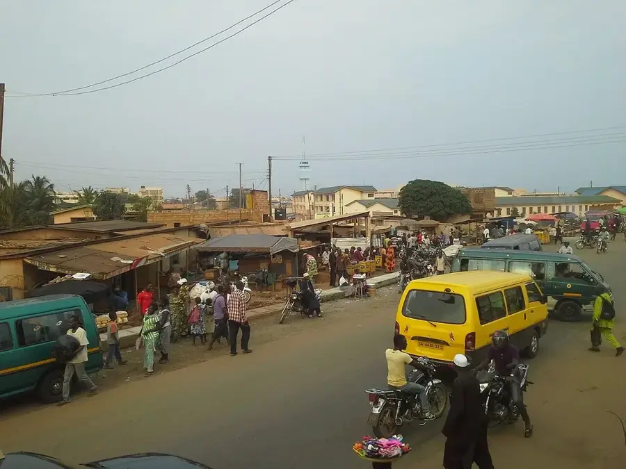
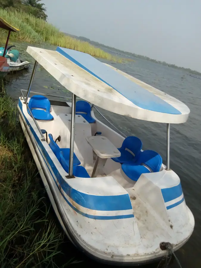
The Mono River is the major waterway of eastern Togo, defining a significant portion of the international border with Benin in its lower reaches. Originating in the Alafia Mountains between Sokodé and Kara, the river flows southward for approximately 400 kilometers before emptying into the Bight of Benin. The river basin covers various ecological zones, transitioning from northern wooded savannas to coastal mangroves near the Atlantic Ocean. A major landmark on the river is the Nangbeto Dam, completed in 1987 as a joint project between Togo and Benin to provide hydroelectric power and irrigation for agriculture. The Mono's estuary forms a vast network of lagoons and wetlands that are recognized as a UNESCO Biosphere Reserve due to their rich biodiversity. These waters are home to vulnerable species such as hippos and African manatees, as well as numerous migratory birds. For centuries, the Mono has been vital to local economies, supporting artisanal fishing and providing water for intensive crop cultivation along its fertile banks.
- Location: Benin
- Nearby: Azizakouè (46 km)
Best time to visit & climate
The most pleasant time to visit is Jan, Nov, Dec.
| Jan | Feb | Mar | Apr | May | Jun | Jul | Aug | Sep | Oct | Nov | Dec | |
|---|---|---|---|---|---|---|---|---|---|---|---|---|
| Avg °C | 27 | 29 | 28 | 28 | 27 | 26 | 25 | 25 | 25 | 26 | 27 | 27 |
| Rain mm | 14 | 31 | 77 | 105 | 148 | 172 | 144 | 95 | 168 | 138 | 35 | 15 |
📋 Practical info
Geography
Facts
- The Mono River flows for a total distance of about 400 kilometers.
- It serves as the international boundary between Togo and Benin near the coast.
- The Nangbeto Dam was commissioned in 1987 for hydroelectric purposes.
- The river's mouth is part of a transboundary UNESCO Biosphere Reserve.
- It is one of the last habitats for hippopotamuses in southern Togo.
- The river basin encompasses an area of approximately 25,000 square kilometers.
Explore nearby
Notable places around
Route planner — Car & Motorhome
Where do you start? We build the route here, with stops and country notes along the way.
© OpenStreetMap contributors · OpenRouteService
Sights nearby
Frequently asked questions
Which border does the Mono form?
Where does the Mono empty into the sea?
Can you see mangroves?
Are there dams on the Mono?
Is the river safe for tourist boat trips?
Mono River: where is it located?
Mono River: when is the best time to visit?
Mono River: why is it worth visiting?

Nearby cities

History & landmarks
Nature
More places